
Dar es Salaam
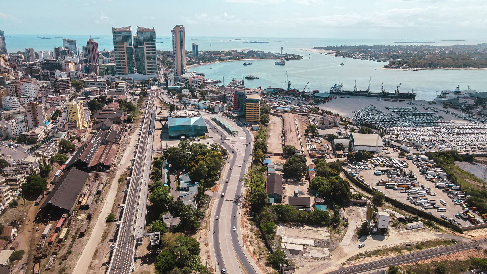
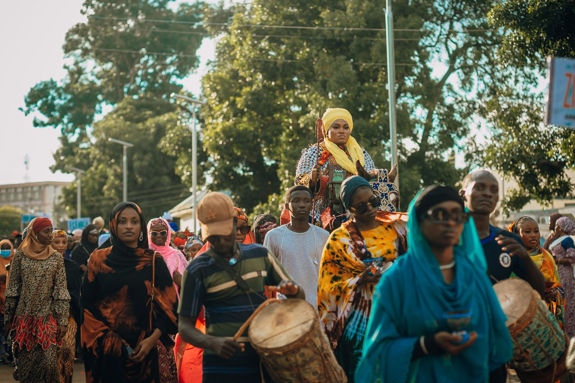
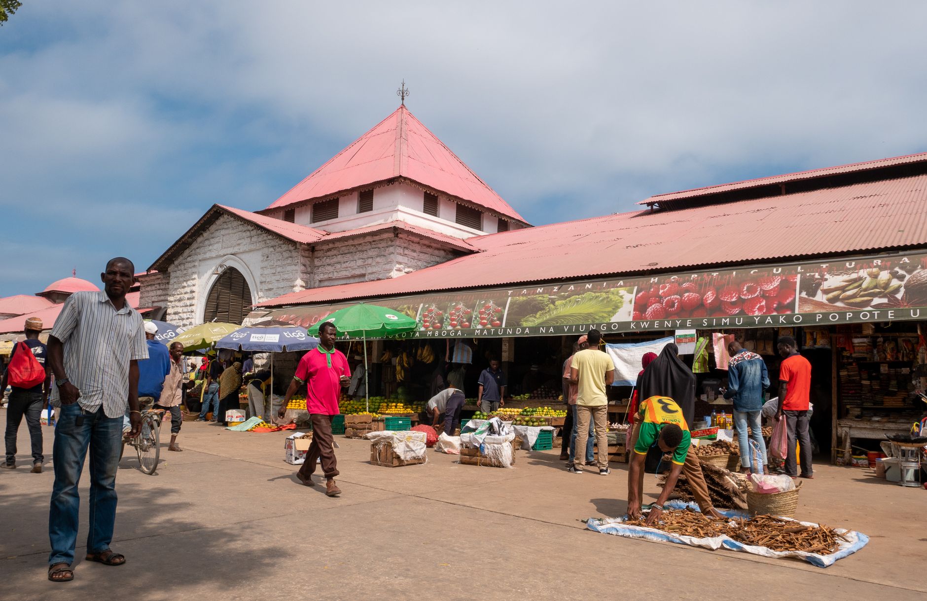
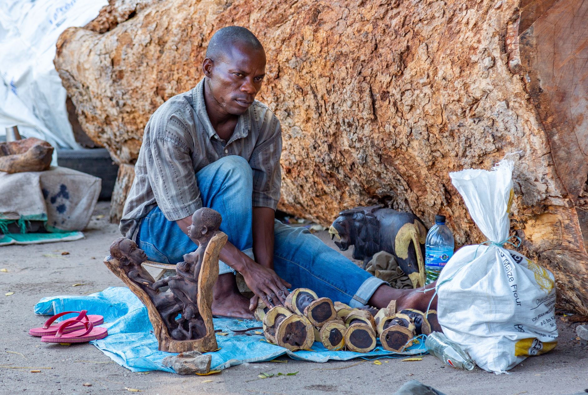
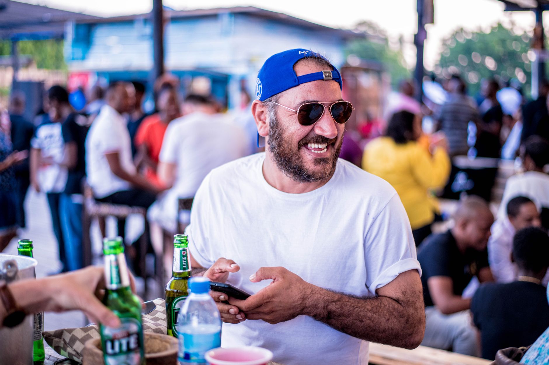
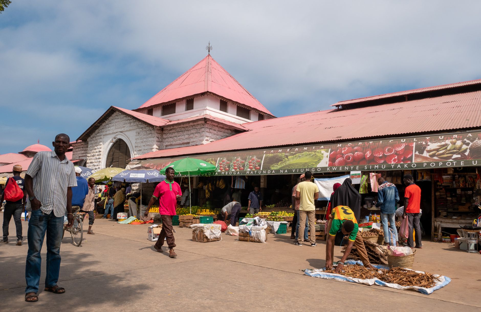
Dar es Salaam sits on the Indian Ocean in a way that makes itself felt immediately — the salt in the air, the ferry horns on the Kurasini estuary, the early-morning noise of Kariakoo Market before the heat takes hold. It is Tanzania's largest city and its commercial engine, and it moves at a pace that rewards patience.
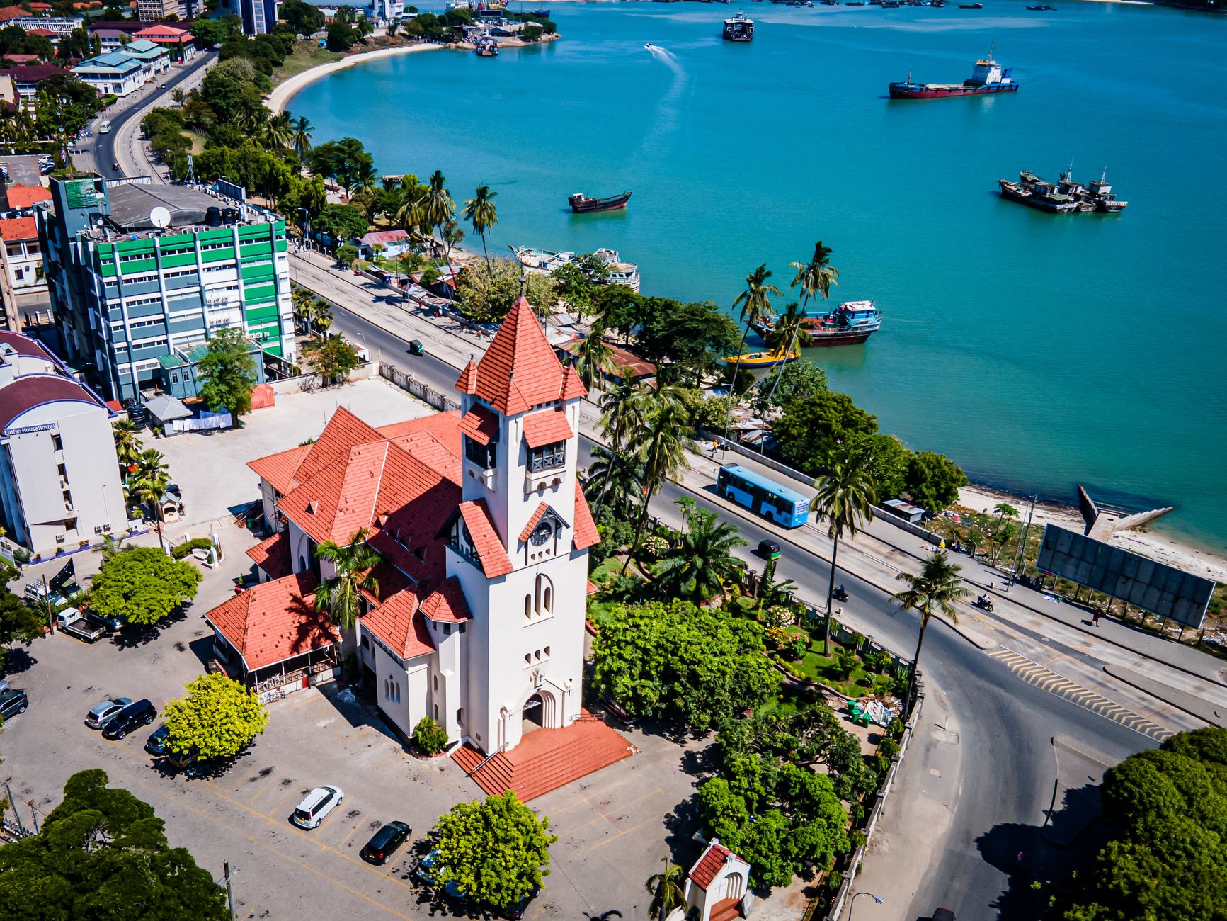
The waterfront is the city's spine. From Kivukoni Front you can watch dhows and fast ferries share the same channel, or walk to St. Joseph's Cathedral on Sokoine Drive, its Gothic stone facade a short distance from the harbor. The city layers German colonial architecture, British-era institutions, and decades of post-independence growth into something genuinely its own.
How Dar es Salaam came to be
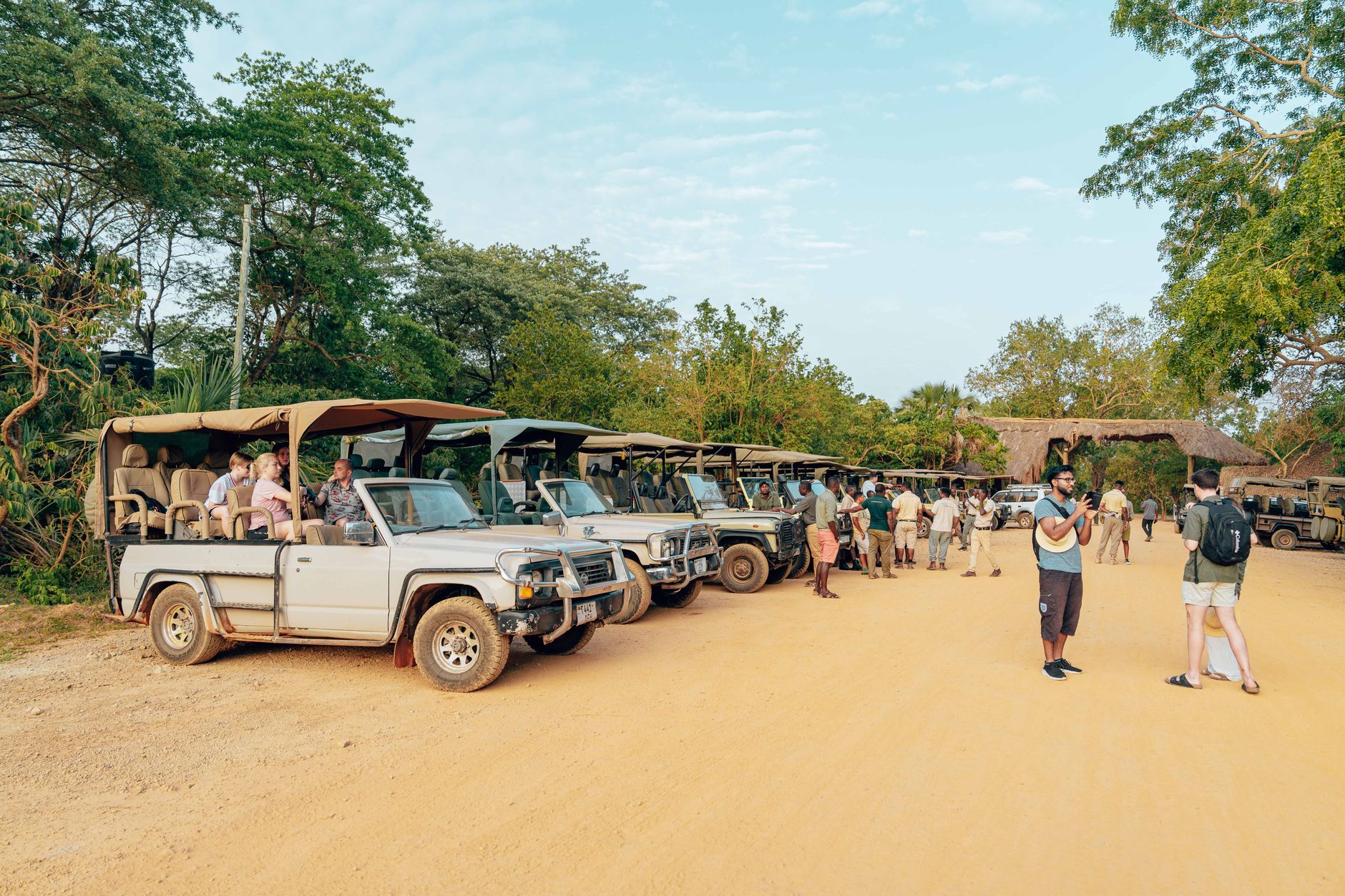
The city's founding is precise enough to feel almost accidental. In 1862, Sultan Majid bin Said of Zanzibar established a settlement near the existing village of Mzizima — a Kiswahili name meaning 'a healthy town' — and began construction of what would become the Old Boma, completed by 1866 as a guesthouse for distinguished visitors. The site remained a minor port until the German East Africa Company arrived in 1887, and by 1891 Dar es Salaam had replaced Bagamoyo as the capital of German East Africa.
After World War I, British administration of Tanganyika kept Dar es Salaam as its capital. Independence came in 1961, the same year the University of Dar es Salaam was established. The official capital transferred to Dodoma in 1974, but the city's commercial and cultural weight never followed.
Who and what shaped it
People who shaped it
Landmark buildings
See Dar es Salaam in motion
Plan your visit
On the map
When to go
The climate is tropical and warm year-round, with daytime highs between 29°C and 32°C depending on the season. Two rainy periods bracket the calendar — the heavier rains fall March to May, with April averaging 230 mm, and a lighter wet spell runs October to December; July through September are the driest months and generally the most comfortable for time spent outdoors.
Right now
↡ Cities
Background & history adapted from Wikipedia (CC BY-SA) · specs from Wikidata (CC0) · weather from Open-Meteo · map data © OpenStreetMap contributors · photos from Wikimedia Commons / Unsplash with per-image credit. No third-party reviews or social posts reproduced.