
Msasani
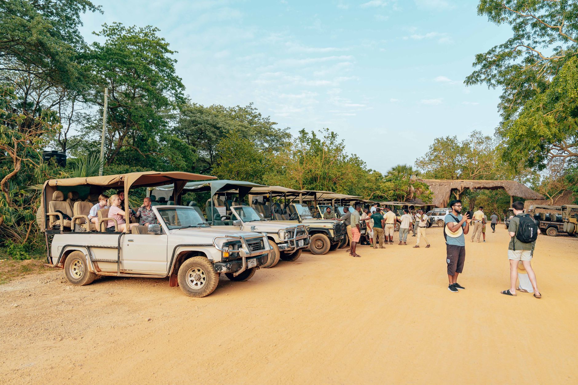
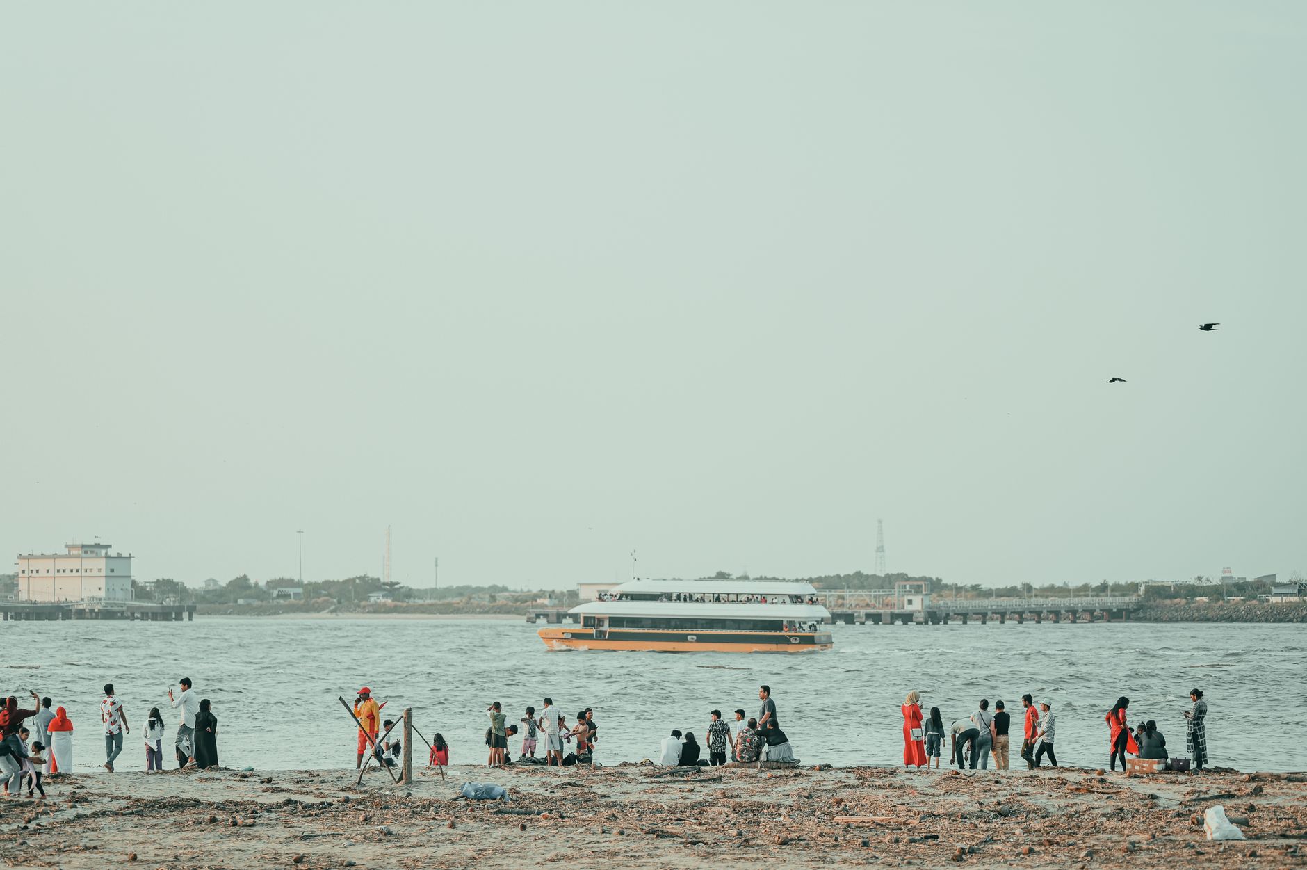
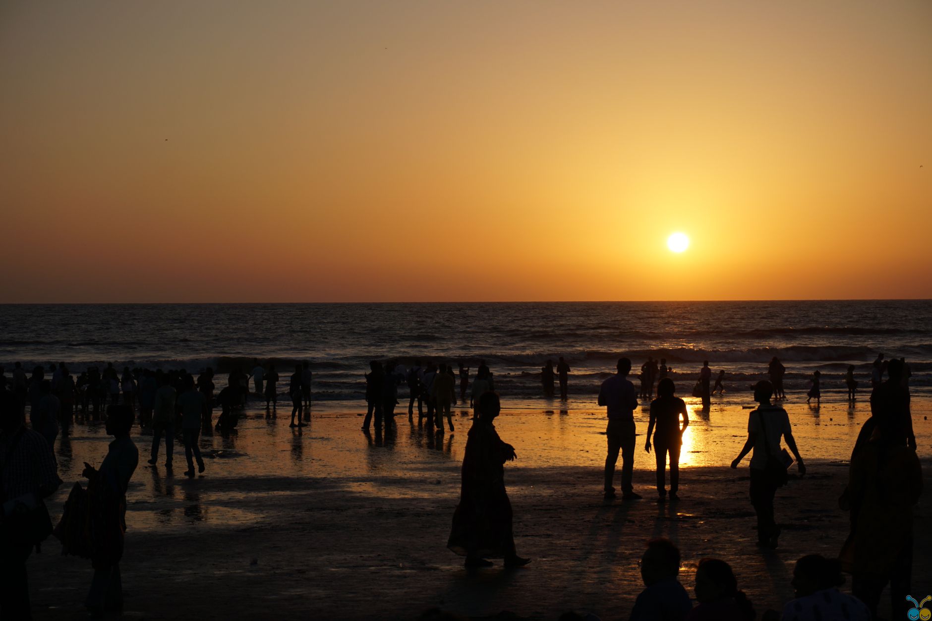
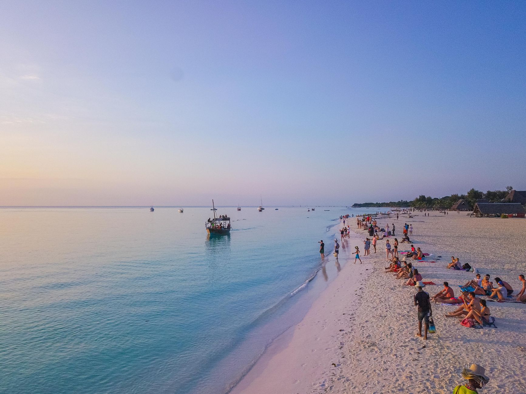
Msasani sits at the end of a peninsula that juts into the Indian Ocean north of Dar es Salaam's centre, and the geography shapes everything about it. The water is never far — you catch it at the end of streets, from the terrace of the Slipway, across the bay toward Bongoyo Island. On weekends, Coco Beach fills with families from across the city, and the open-air market near the waterfront does steady, unhurried business.
Across the main road, Masaki keeps its manicured calm. Msasani itself is denser, less polished, roads narrowing quickly away from the seafront into unlit lanes. The two exist side by side without much ceremony — which is, in its way, the most honest thing about the peninsula.
💛 What travellers fall for
People who keep coming back tend to time the Bongoyo Island ferry for a Tuesday or Wednesday morning, when the boat is quieter. The 15,000 TZS round trip from the Slipway is the same price regardless, and the thirty minutes on the water feel longer in the best sense. The Little Theatre's schedule is worth checking before you visit — productions sell out faster than you'd expect.
Deals in Msasani
Book directly at the provider


How Msasani came to be
The name Msasani reaches back to a medieval Swahili settlement that once occupied this stretch of coastline — one of many small trading communities that lined the East African littoral long before Dar es Salaam was established as a city. That earlier settlement has largely been absorbed into the urban fabric, leaving the name as the most tangible trace.
The modern ward developed as Dar es Salaam expanded northward, and the peninsula gradually drew expatriate residents, international institutions, and the infrastructure that follows them — clubs, international schools, marinas. The Dar es Salaam Yacht Club and the Gymkhana Club both took root here, as did the secondary campus of the International School of Tanganyika, giving the area a particular character that still defines it.
Who and what shaped it
Landmark buildings
See Msasani in motion
Plan your visit
On the map
When to go
Temperatures on the peninsula sit around 30°C year-round, with February the warmest and July the mildest at around 24°C. The long rains run March to May — April can bring heavy downpours — while June through September offers the driest, most manageable conditions for walking the seafront or taking the boat out to Bongoyo.
Right now
Background & history adapted from Wikipedia (CC BY-SA) · specs from Wikidata (CC0) · weather from Open-Meteo · map data © OpenStreetMap contributors · photos from Wikimedia Commons / Unsplash with per-image credit. No third-party reviews or social posts reproduced.