
Cairns, Queensland, Australia
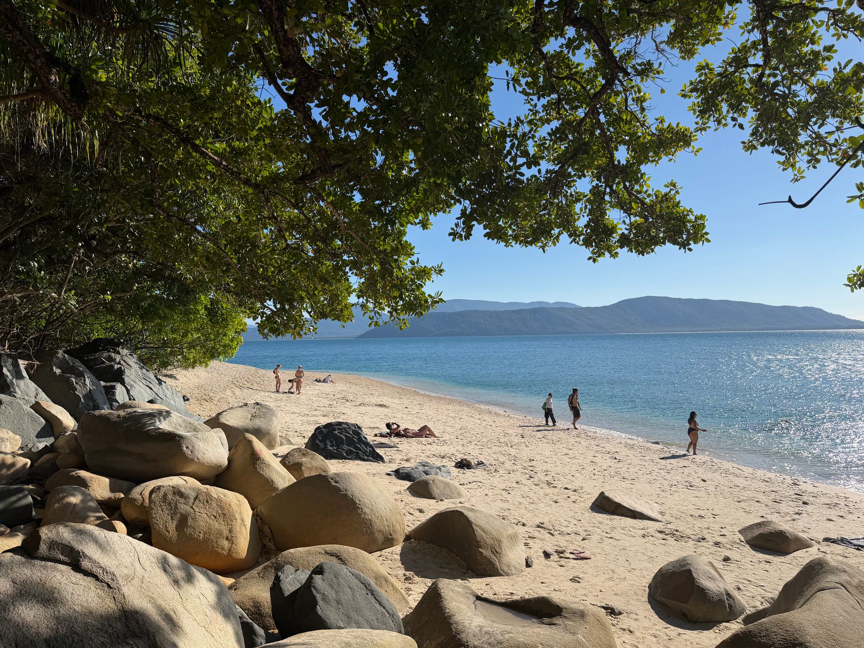
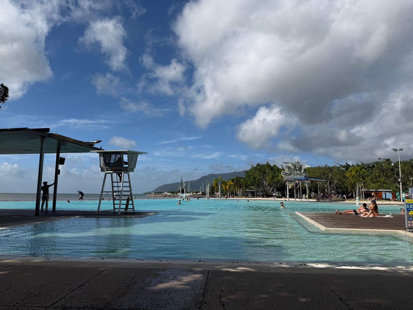

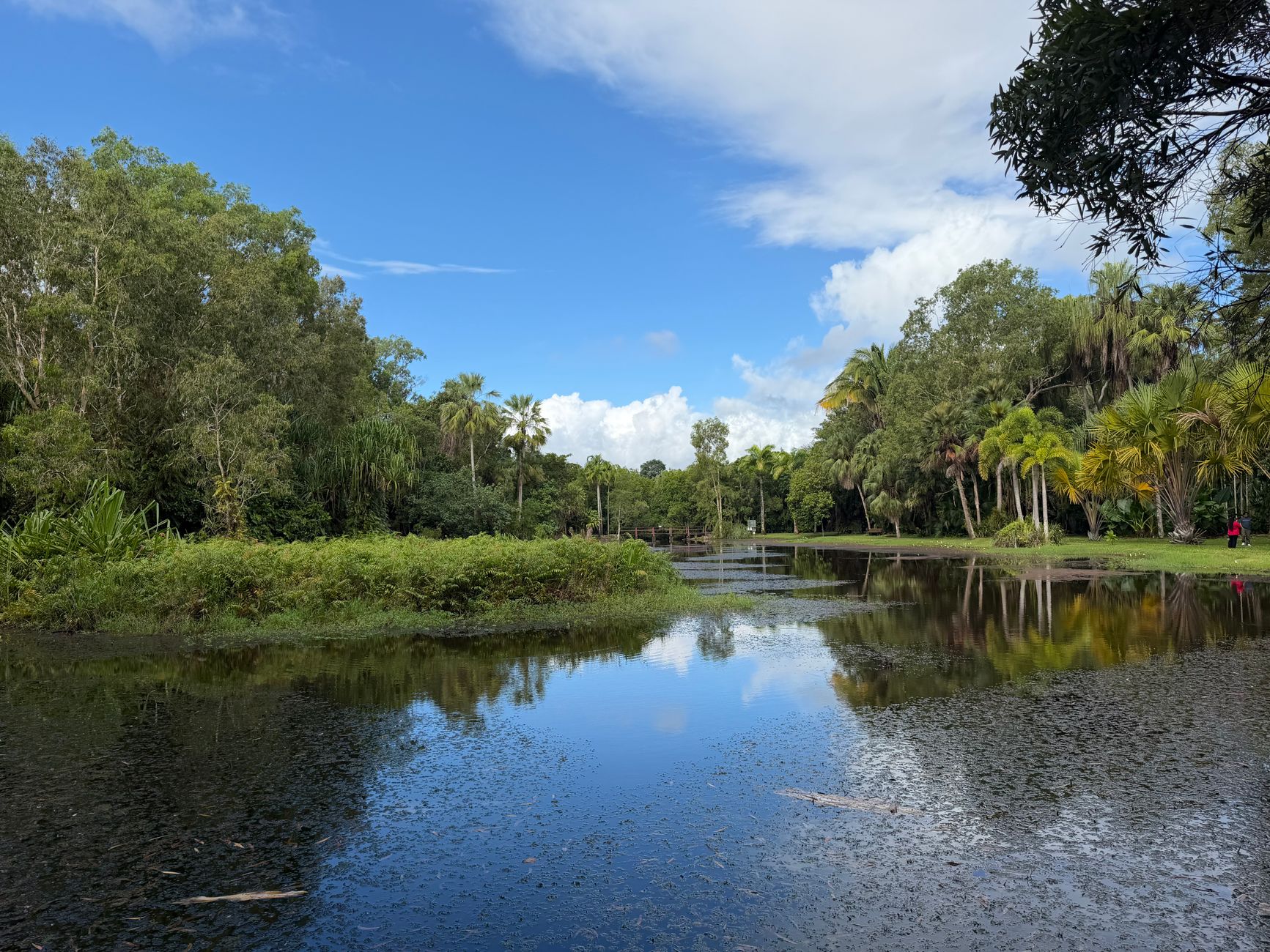
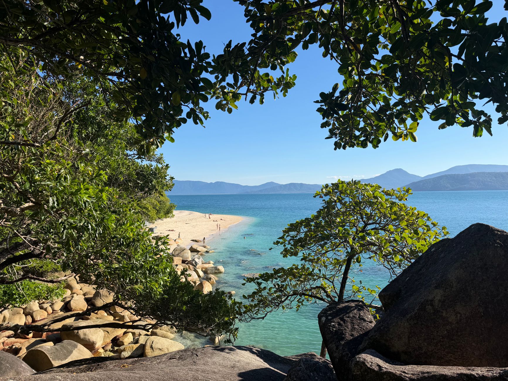
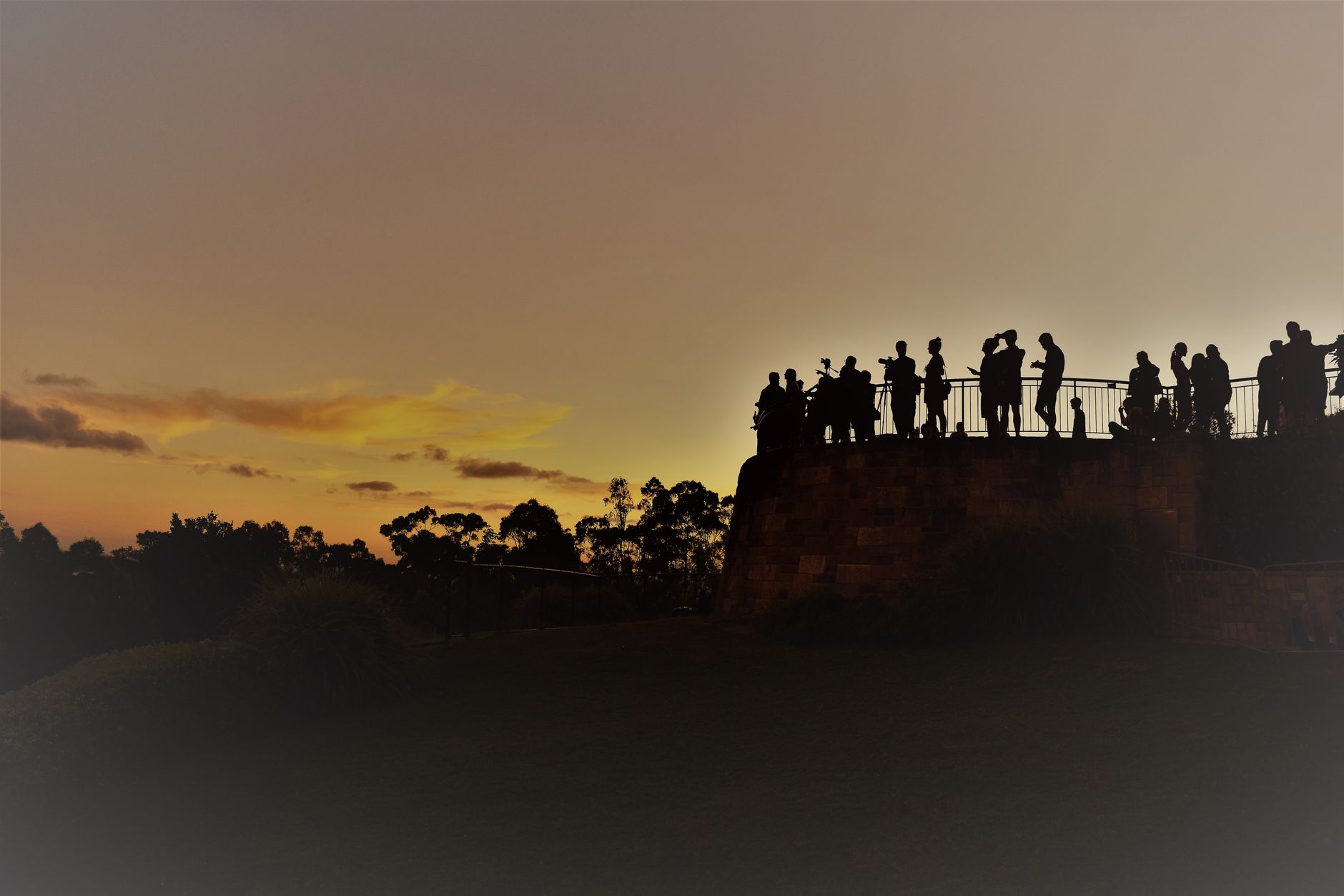
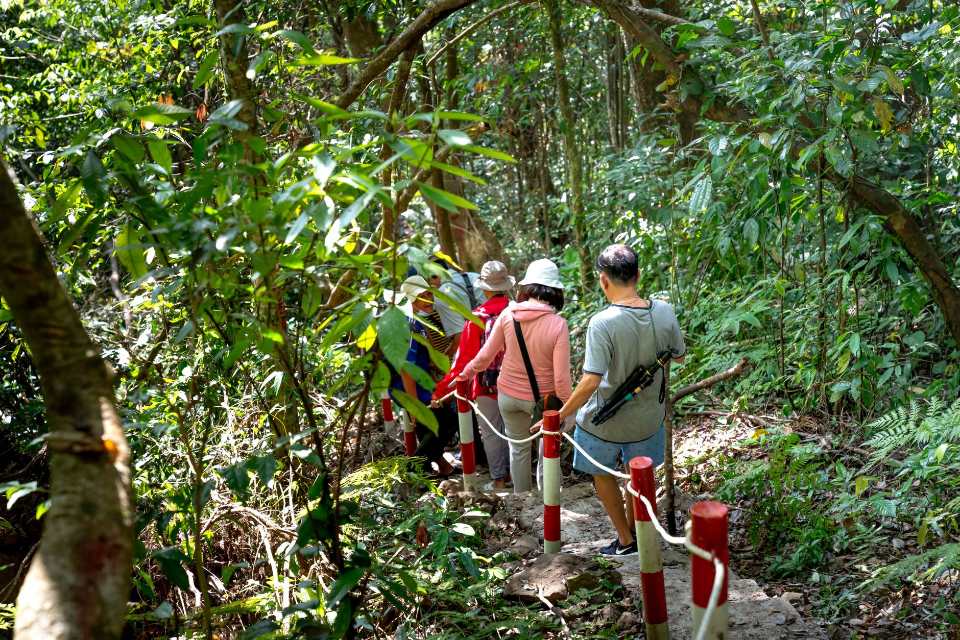
Cairns sits at the edge of two world-heritage listed ecosystems — the Great Barrier Reef offshore and the Wet Tropics rainforest at its back — which gives the city an unusually charged sense of geography. The Esplanade lagoon faces west across Trinity Bay, so sunsets here land on the water in front of you rather than behind the mountains, a small detail that catches first-time visitors off guard.
This is a genuine working port city, not a resort town, and that distinction matters. The streets mix dive-charter operators, heritage pubs from the 1920s, and a food scene shaped by the Pacific and Southeast Asian communities that have moved through for generations.
Popular cities in Cairns, Queensland, Australia
💛 What travellers fall for
People who keep coming back tend to book their reef or tableland trips before they arrive, not after — the best operators fill fast. The Cairns Regional Gallery on Abbott Street is worth an hour on a rain morning, and the Esplanade boardwalk at low tide, when the mudflats draw birds, is better than any organised tour.
How Cairns, Queensland, Australia came to be
The port was proclaimed on 1 November 1876 and named for Sir William Wellington Cairns, then Governor of Queensland. What drew people here first was not scenery but gold — the Palmer River and Hodgkinson fields to the north and west sent a rush of prospectors through, and Christie Palmerston, a bushman-explorer, cut the jungle tracks that connected the mines to the coast and kept early Cairns economically alive.
The railway to Kuranda, completed in 1891 after five years of work through 15 tunnels and across dozens of bridges, was considered the most ambitious infrastructure project in Australia at the time. The city was formally declared a municipality in 1885, a town in 1903, and a city in 1923. By 1942 it was on the front line of the Pacific war, living under censorship and the shadow of the Battle of the Coral Sea.
Who and what shaped it
People who shaped it
Landmark buildings
See Cairns, Queensland, Australia in motion
Plan your visit
On the map
When to go
The dry season, May to October, brings warm days, low humidity and calm seas — the clear window for reef diving and tableland walks. The wet season, November to April, delivers intense afternoon downpours, high humidity and the occasional cyclone; the landscape turns an almost implausible green, but some activities close.
Right now
↡ Cities





Background & history adapted from Wikipedia (CC BY-SA) · specs from Wikidata (CC0) · weather from Open-Meteo · map data © OpenStreetMap contributors · photos from Wikimedia Commons / Unsplash with per-image credit. No third-party reviews or social posts reproduced.