
Andheri
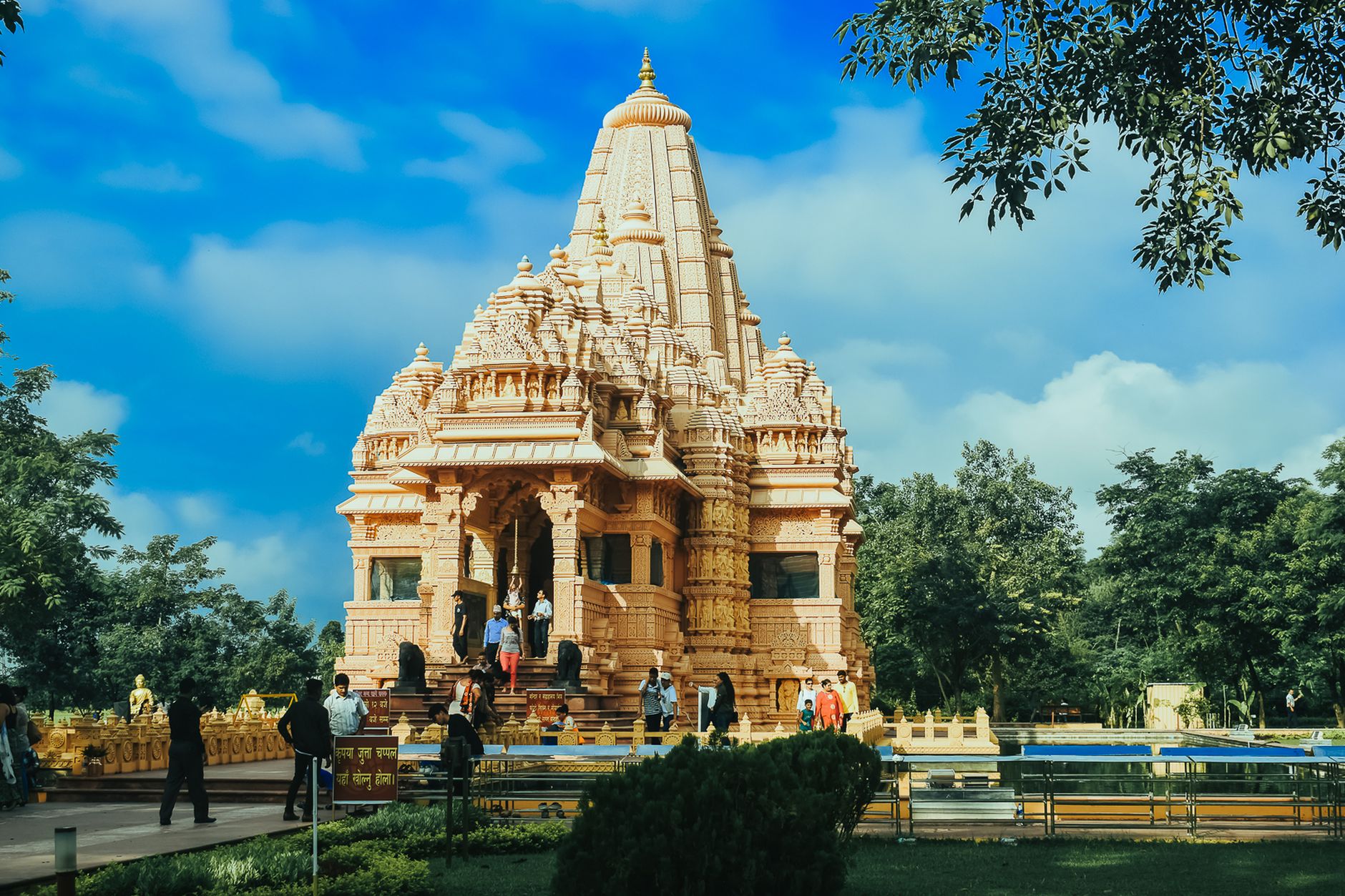
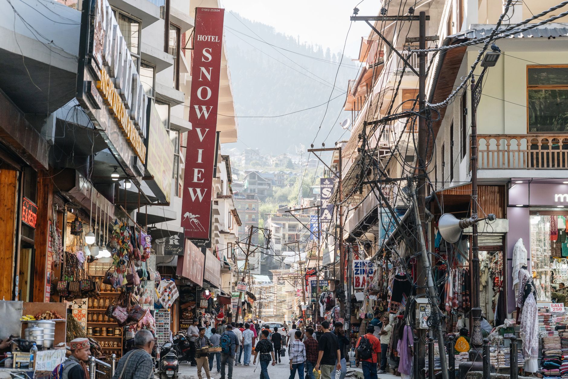
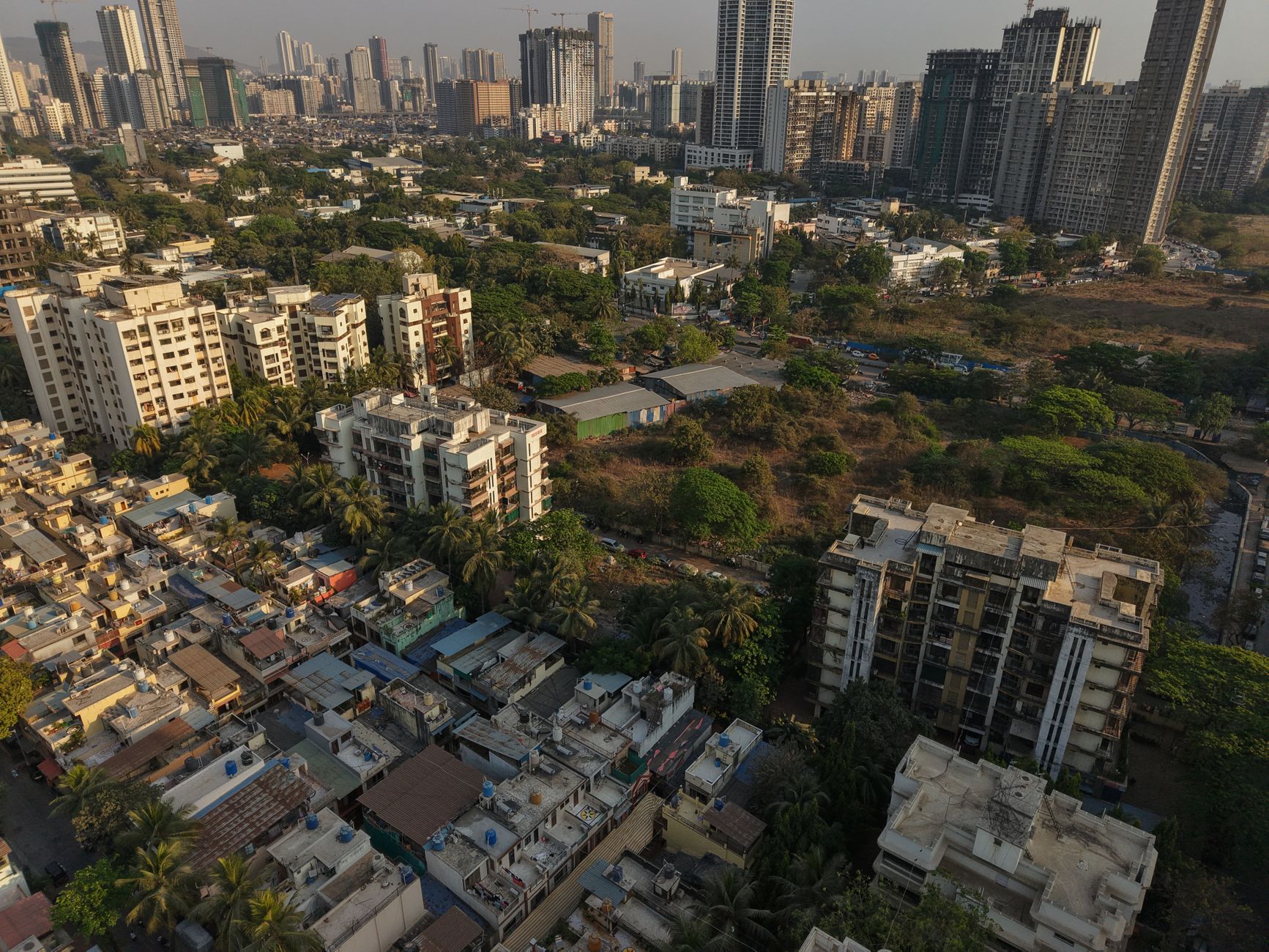
Andheri is where Mumbai's working life runs at full tilt. More than a million people live here, making it the city's most populous suburb, and on any given morning the Andheri railway station and its connecting Metro skywalk move a crowd that would fill a small city on its own. The western side carries traces of old Parsi households near the station — Merwan's bakery is the kind of place that has been making mawa cake long before the film industry set up around the corner.
That industry is the other thing Andheri is known for. The studios of Andheri East — Nataraj, Mohan, Prakash and others — drew Bollywood here from the 1930s onward, and the neighbourhood has never quite stopped being in production.
💛 What travellers fall for
People who know Andheri well tend to mention Ahura bakery in the same breath as the Metro. The Blue Line is genuinely fast — nine stations across the suburb, three and a half minutes between trains at peak hour — and it connects east to west in a way that used to require a degree of patience. The Mahakali Caves are a short auto-ride from the eastern side and almost always quieter than you'd expect.
Experiences you don't want to miss


Deals in Andheri
Book directly at the provider
How Andheri came to be
The name Andheri appears in the Mahikavatichi Bakhar, a Marathi chronicle from the 15th to 17th centuries, though rock-cut Buddhist and Hindu structures at Mahakali suggest settled activity as far back as the 1st century BCE. Koli and Agri fishing communities have lived in gaothans like Amboli and Marol for over a thousand years. The Portuguese held the area until 1665, when it passed to the British East India Company as part of Catherine of Braganza's dowry to Charles II.
The Western Railway line reached here in 1853, and a further extension of the Western Trunk Route in 1915 brought the suburb into Mumbai's orbit in earnest. Building approvals accelerated through the 1920s, film studios arrived in the 1930s, and Andheri was formally absorbed into Greater Bombay in 1945. Its current administrative shape — drawn from reorganised villages of the former Borivali and South Salsette tahsils — dates to 1962.
Who and what shaped it
Landmark buildings
See Andheri in motion
Plan your visit
On the map
When to go
November through March is when Andheri is easiest to be in: temperatures settle between 21°C at night and around 32°C by day, and the air has some dryness to it. The monsoon arrives in June and peaks in July, when nearly 600 mm of rain can fall in a single month — the city keeps moving, but your plans may not.
Right now
Background & history adapted from Wikipedia (CC BY-SA) · specs from Wikidata (CC0) · weather from Open-Meteo · map data © OpenStreetMap contributors · photos from Wikimedia Commons / Unsplash with per-image credit. No third-party reviews or social posts reproduced.