Crête du Lys — Panorama at 2,150 m
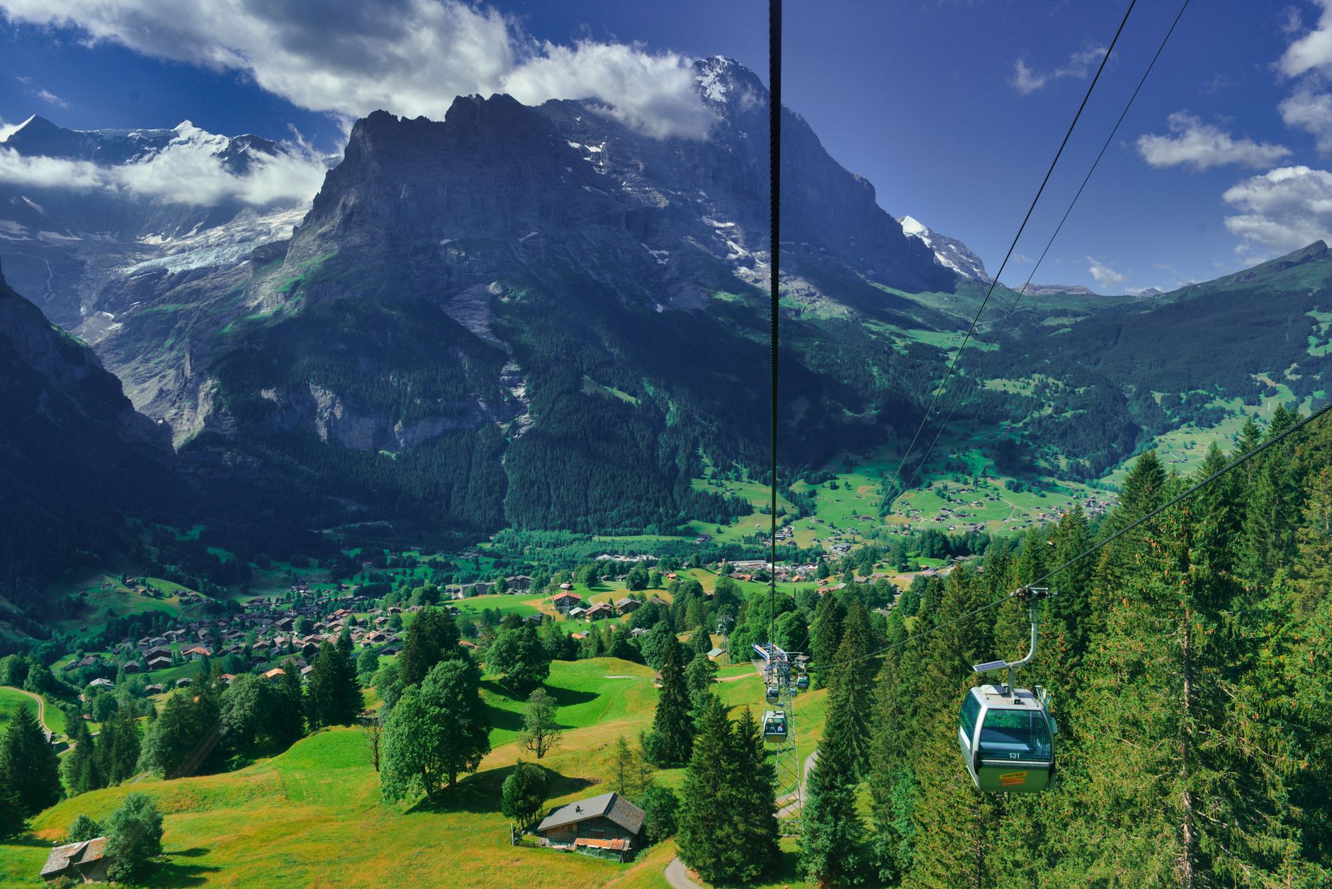
The Télécabine du Lys whisks skiers and summer walkers from the edge of town to the Crête du Lys ridge at 2,150 m in under 20 minutes, delivering a panorama that sweeps from the Vignemale massif to the Spanish border peaks without requiring a single switchback on foot.

The Ride Up & the View
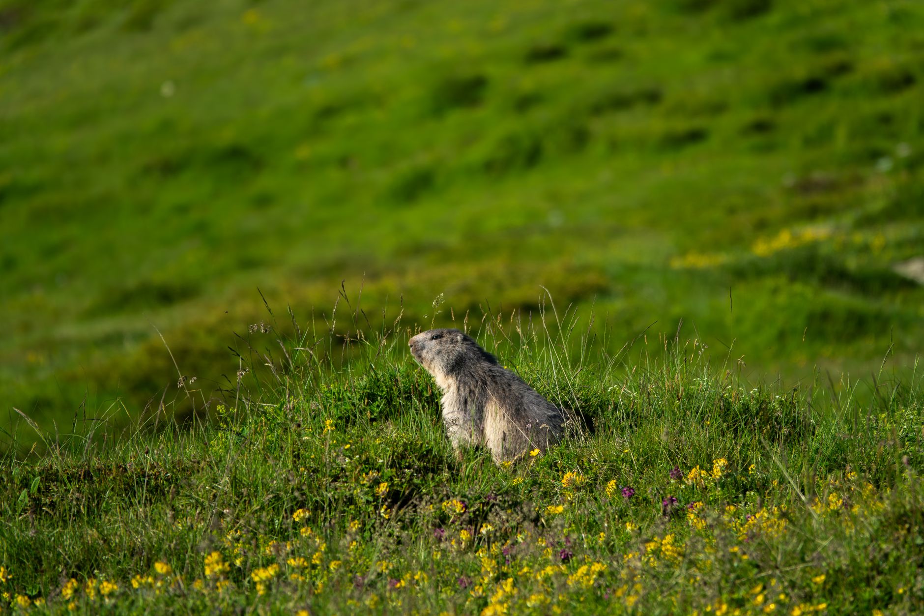
The gondola departs from the Lys station on the southern edge of Cauterets and climbs steeply past spruce forest, then open alpine meadow dotted with marmots in summer. Step off at the top and the horizon opens in every direction — on a clear day you can identify the Balaïtous (3,144 m) to the west and the Monte Perdido massif across the Spanish border to the south.
A wooden orientation table at the ridge identifies the main summits. Bring a windproof layer even in August: the ridge catches every breeze funnelling through the Gave valley and temperatures drop 10–12 °C relative to the town below.
What to Do Once You're Up There
In summer the plateau becomes a network of easy-to-moderate walking trails, including a 2-hour loop to the Lac d'Ilhéou (1,985 m), a small cirque lake rarely crowded because it sits just off the main tourist axis.
In winter the Lys domain offers 20 km of pistes, including the long Gaube red run that sweeps back into town — one of the few ski runs in France that deposits you practically on the high street.
More of Cauterets
Discover where to stay, what to do and the best deals for your trip.
Explore Cauterets →