
Norwegian Fjords, Norway


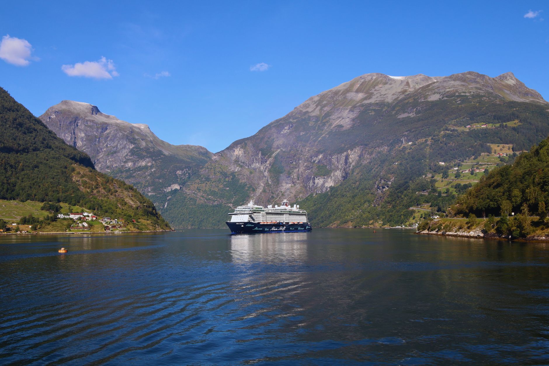
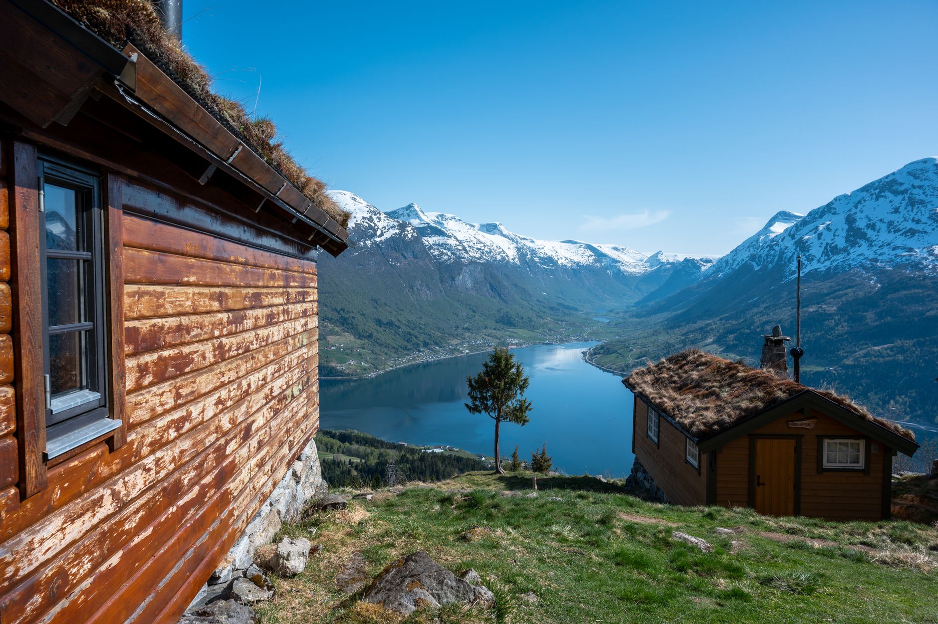
The numbers help. Sognefjord runs 204 kilometres inland and drops 1,308 metres at its deepest point — deeper than most of the North Sea. Nærøyfjord, an arm of it, narrows to just 250 metres across, with crystalline rock walls rising 1,400 metres on either side. These are not scenic backdrops; they are the result of two million years of glacial grinding, the ice finally retreating around 12,000 years ago and leaving seawater to fill the valleys behind it.
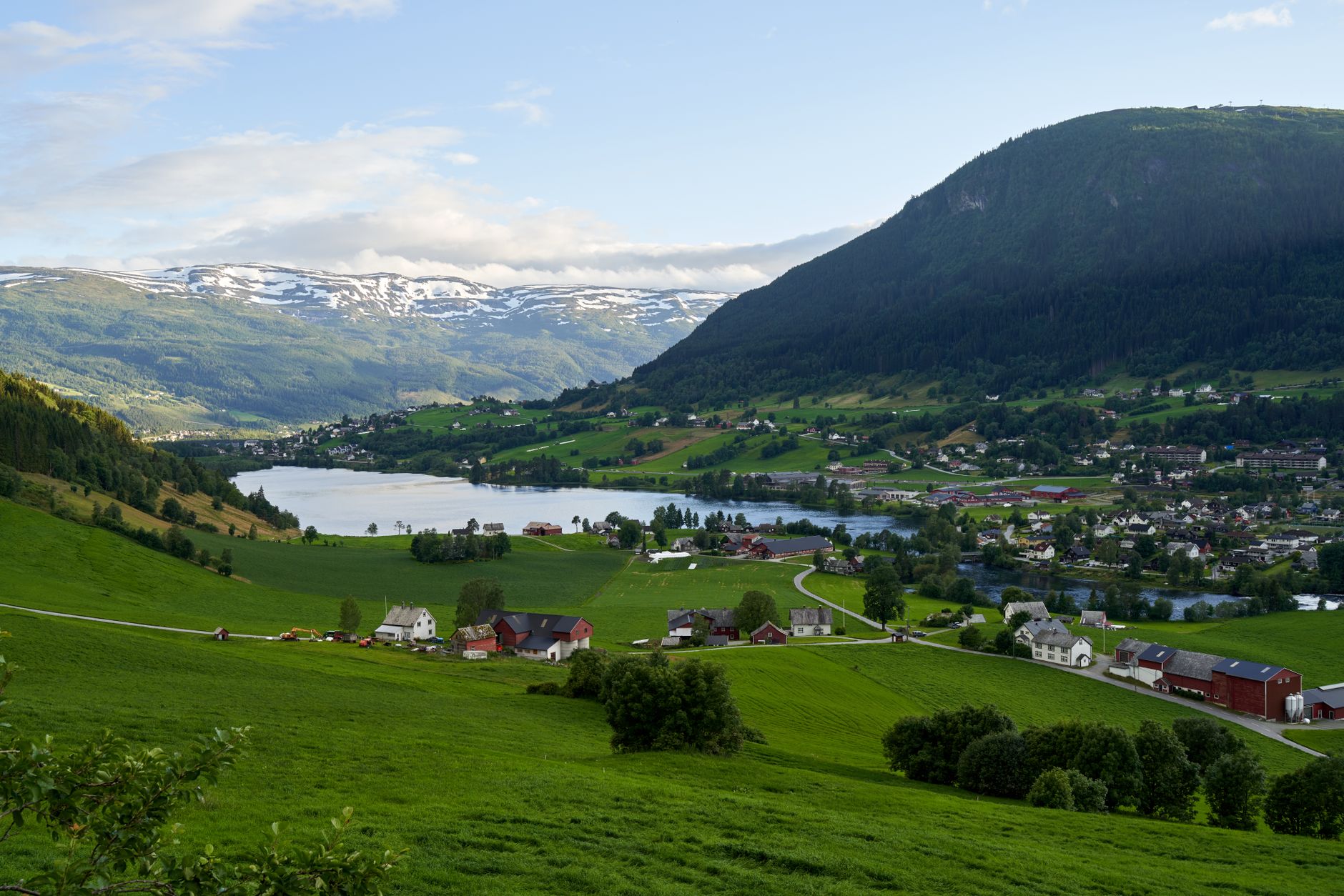
The fjords stretch across western Norway in a loose arc, best approached through Bergen or Ålesund. Getting between them means ferries as much as roads — on some stretches, the boat is the road. Give yourself at least three full days, and the region will keep offering more.
Popular cities in Norwegian Fjords, Norway
💛 What travellers fall for
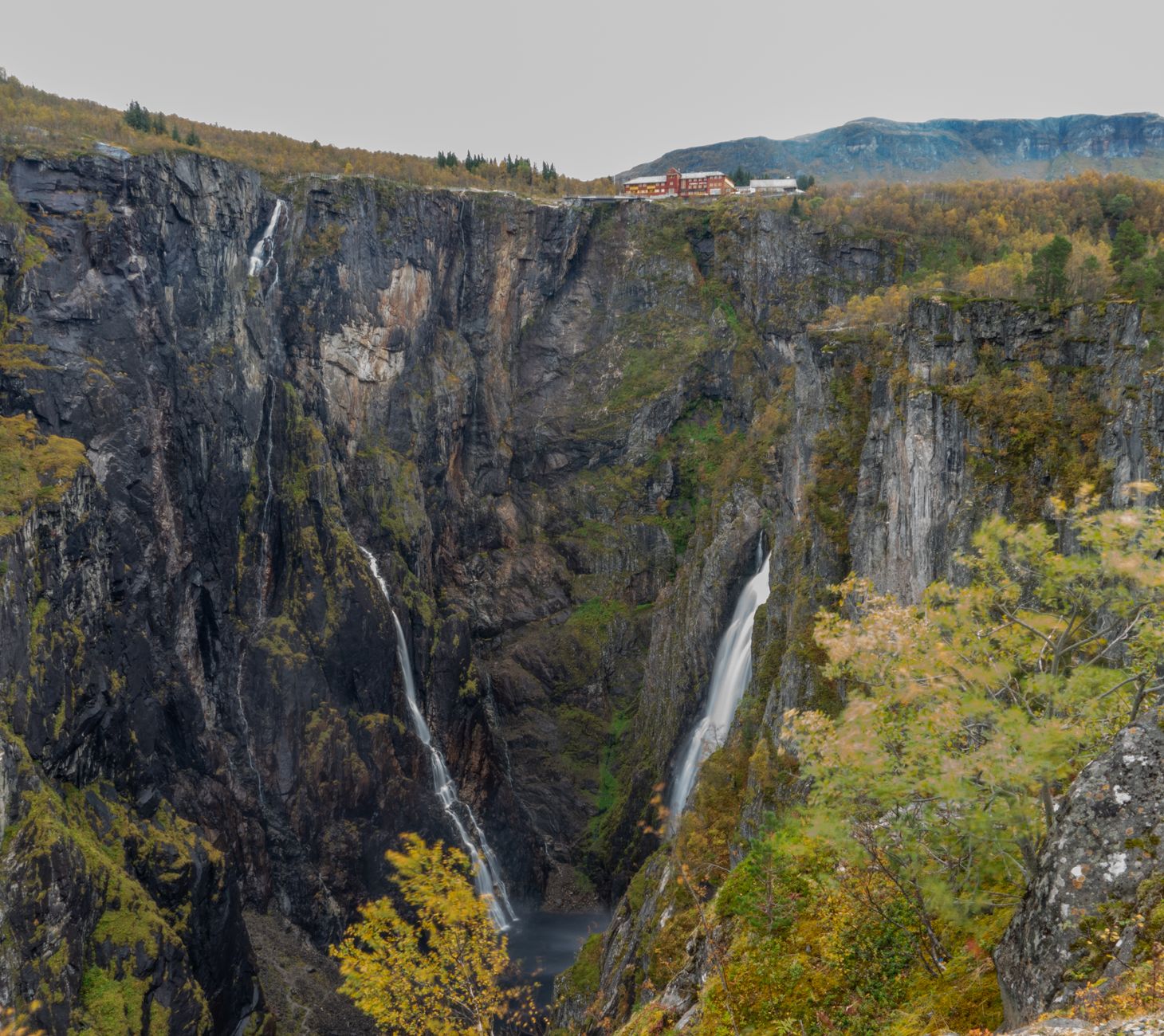
People who come back tend to say the same thing: go in May. The Hardanger orchards are in bloom, the waterfalls on Geirangerfjord — the Seven Sisters, the Suitor, the Bridal Veil — run at full force from snowmelt, and the ferries are not yet packed. The Flåm Railway is worth the seat on the left-hand side going down.
How Norwegian Fjords, Norway came to be
The fjords are older than any human story attached to them, but they shaped every human story that followed. Glaciers began carving these valleys more than two million years ago; by around 12,000 years ago the ice had pulled back far enough for the sea to move in, filling the U-shaped troughs with water that in places reaches 500 metres below sea level.
For the people who came after, the fjords were less obstacle than corridor. During the Viking Age and the maritime trade that followed, the protected inlets served as natural highways through terrain that would otherwise have been impassable. Small farms took root on narrow ledges partway up the cliffs — places that look impossible to reach, let alone cultivate. In 2005, UNESCO inscribed the Geirangerfjord and Nærøyfjord as a World Heritage Site, recognising the geological record written into their walls.
Who and what shaped it
Landmark buildings
See Norwegian Fjords, Norway in motion
Plan your visit
On the map
When to go
May and June offer the best balance: long light, full waterfalls, and snow still sitting on the high peaks above the water. Summer temperatures run 15–20°C, but the coastal climate means a clear morning can give way to rain and fog by afternoon — pack for both in the same bag. September quiets the crowds and turns the hillsides gold, though some ferry routes reduce frequency. The fjords themselves stay ice-free year-round, warmed by the Gulf Stream.
Right now
↡ Cities







Background & history adapted from Wikipedia (CC BY-SA) · specs from Wikidata (CC0) · weather from Open-Meteo · map data © OpenStreetMap contributors · photos from Wikimedia Commons / Unsplash with per-image credit. No third-party reviews or social posts reproduced.