
Geiranger
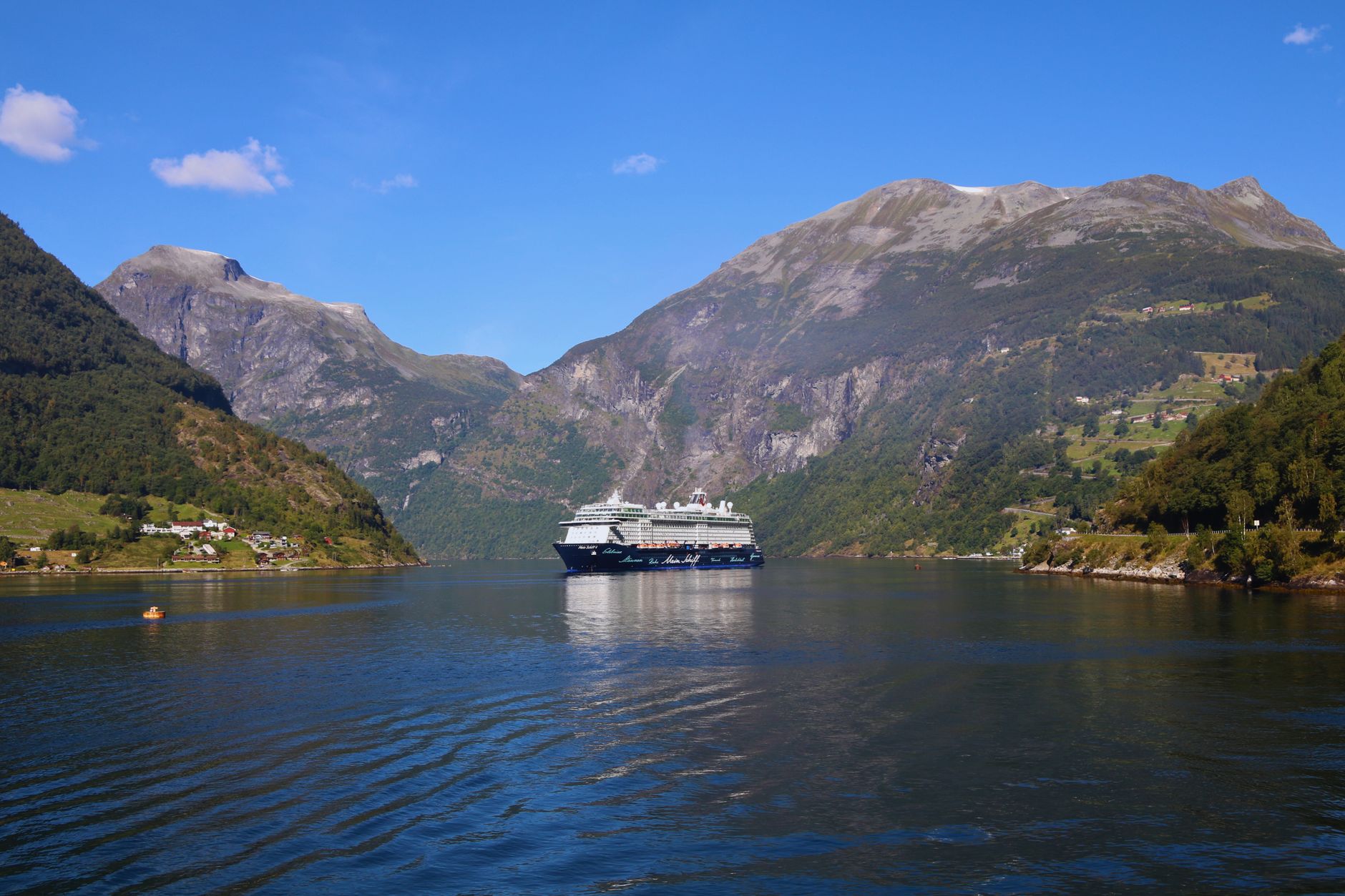
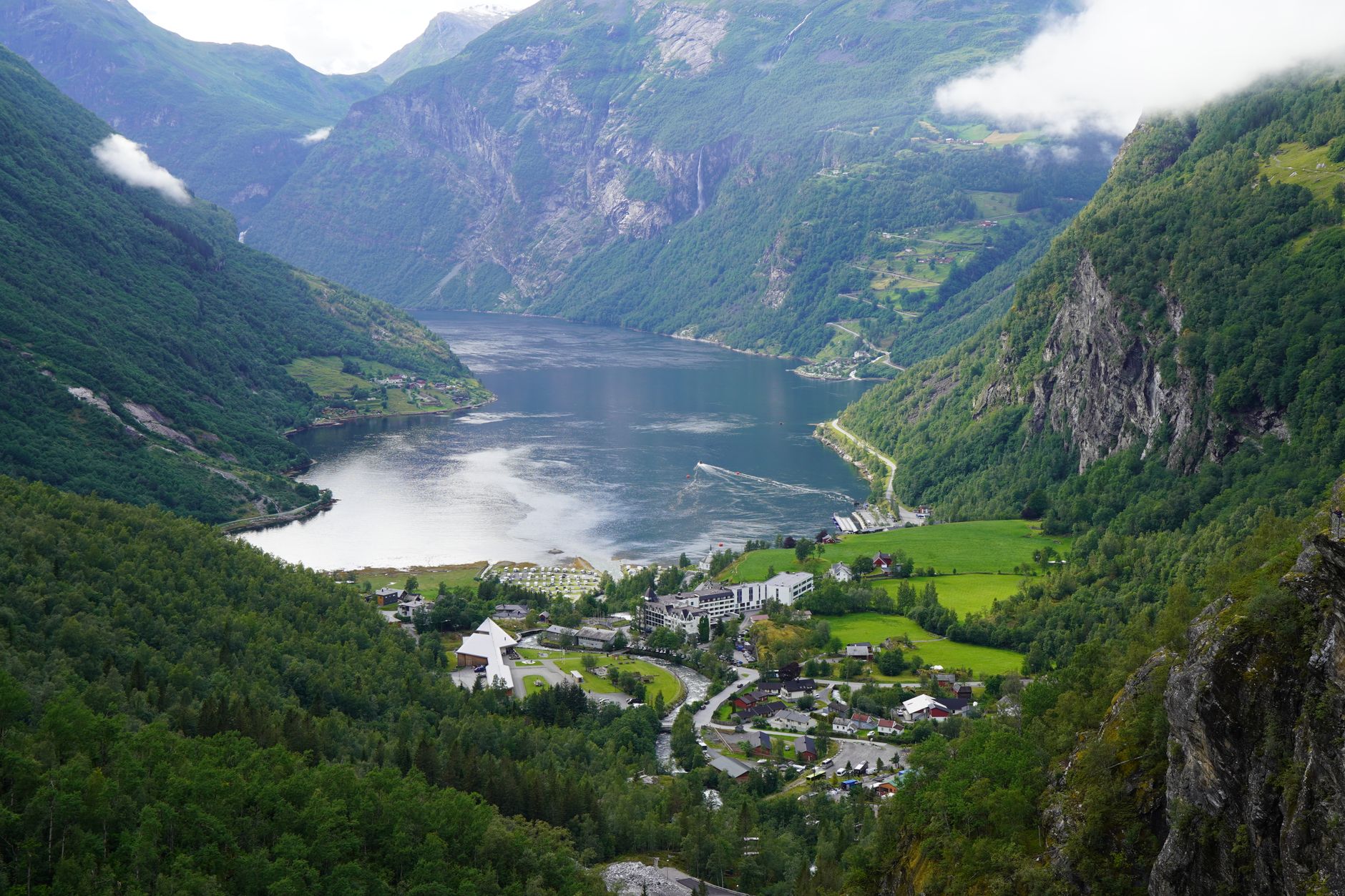
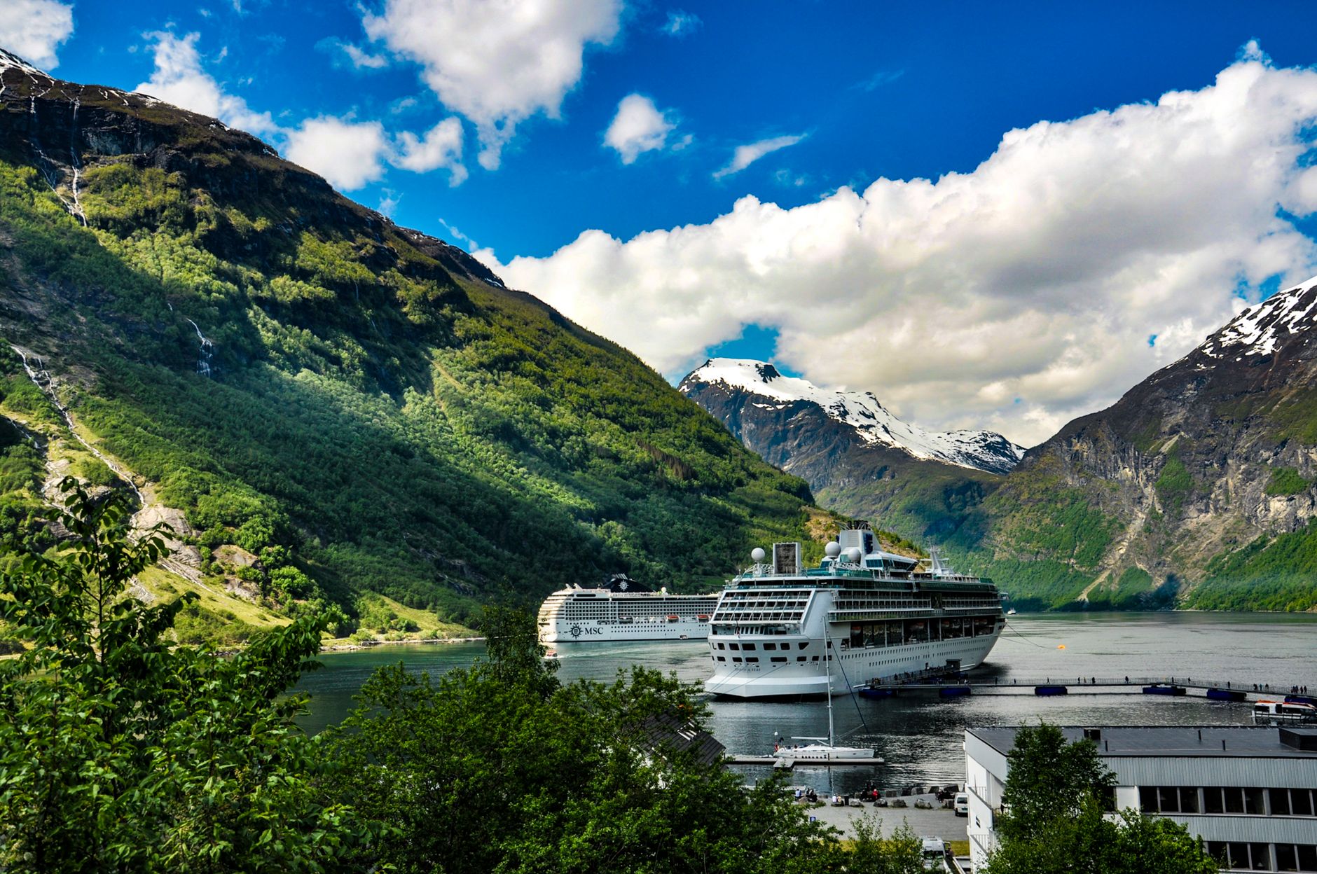
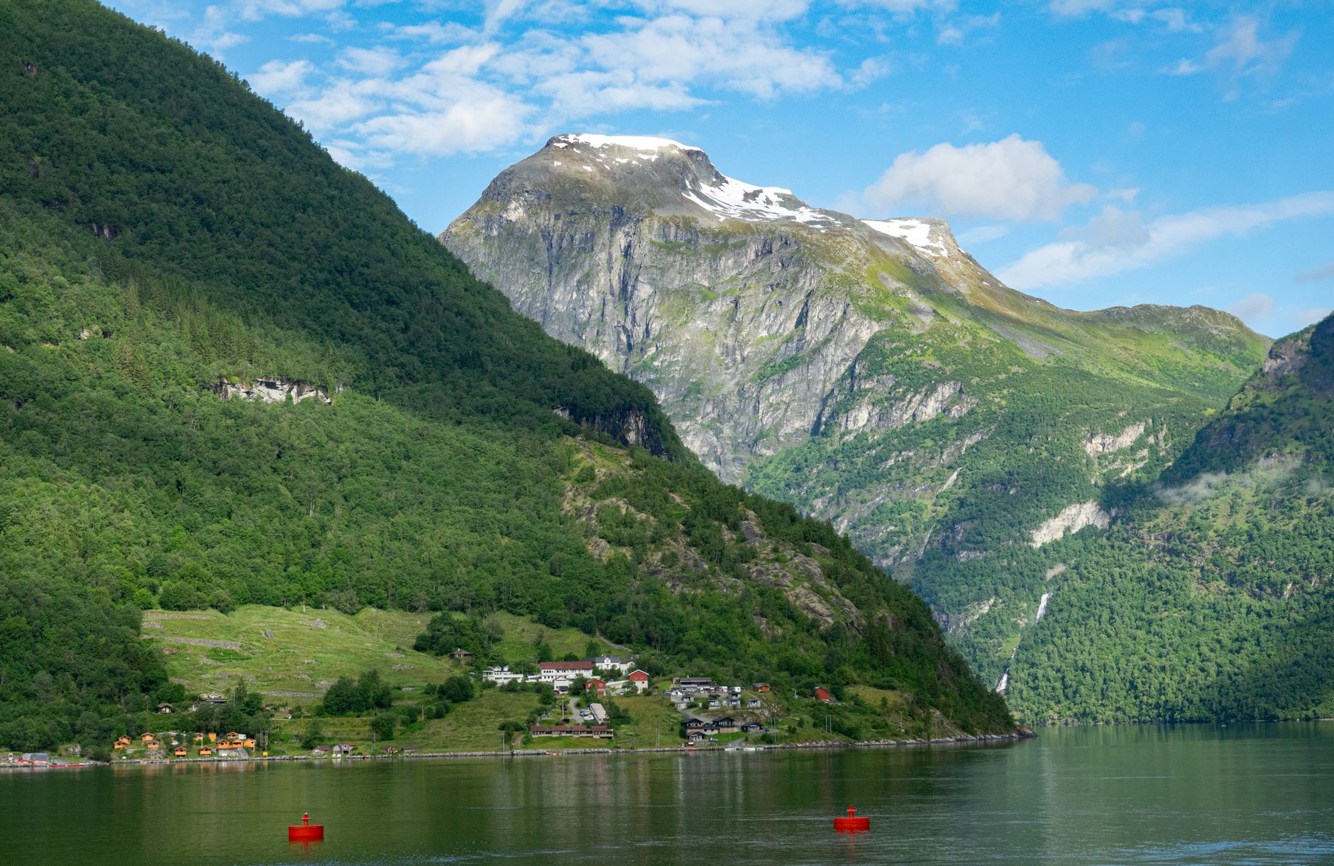
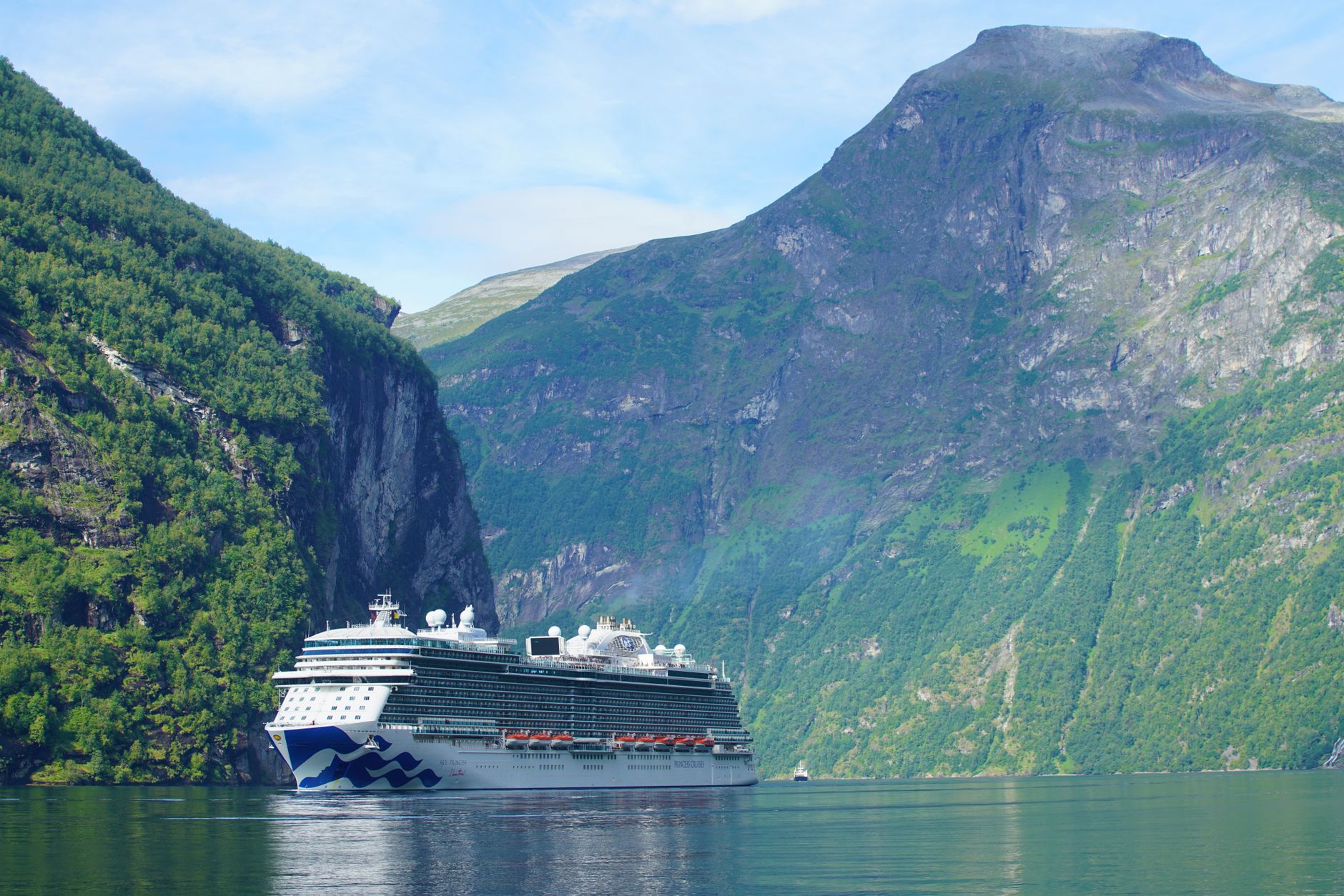
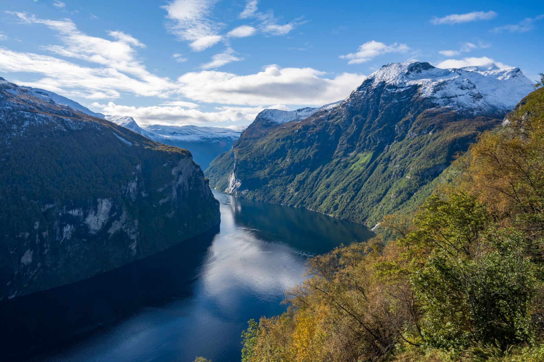
The numbers do the work before any description can: 215 permanent residents, up to 5,000 visitors on a single summer day, and a fjord arm so long and tapered that its Old Norse name — geirr, spear; angr, fjord — still fits perfectly. Geiranger sits at the inner end of Geirangerfjord, where waterfalls drop 400 metres straight into salt water and the road in winds over a mountain pass that feels like it was built on a dare.
The village itself is small enough to walk end to end in ten minutes, which makes it easy to overlook what surrounds it. The Seven Sisters fall in seven separate threads from a cliff face across the water. Abandoned farm buildings cling to ledges 270 metres above the fjord. A glass platform at 1,500 metres looks back down over all of it.
💛 What travellers fall for
People who return tend to say the same thing: come back in May or early September, when the cruise ships thin out and the light goes long and gold. Take the Hellesylt ferry at least once — not just as transport but as the slowest, best way to read the fjord from water level. Walk up to the Norwegian Fjord Centre before the waterfront fills.
Deals in Geiranger
Book directly at the provider


How Geiranger came to be
Stone Age and Bronze Age communities left traces around the fjord, and Viking-era burial mounds at the Vinje farm confirm the area was inhabited long before anyone thought to name it a destination. The farms that once dotted the cliff ledges — Knivsflå, abandoned in 1898 after rockfall risk became too great; Skageflå, perched on its mountain shelf 270 metres above the water — tell a quieter story of how hard ordinary life here actually was.
Tourism arrived in 1869 with the first tourist ship, and the village has been orienting itself around visitors ever since. The octagonal timber church, designed by Hans Klipe and built in 1842, predates that shift slightly — it seats 200, which is nearly the entire current population of the village.
Who and what shaped it
Landmark buildings
See Geiranger in motion
Plan your visit
On the map
When to go
Summer (June through August) brings mild temperatures and long daylight hours, but also the densest crowds. May and early September offer similar light with noticeably fewer people; outside the May-to-September window, some services close and the ferry runs a reduced schedule.
Right now
Background & history adapted from Wikipedia (CC BY-SA) · specs from Wikidata (CC0) · weather from Open-Meteo · map data © OpenStreetMap contributors · photos from Wikimedia Commons / Unsplash with per-image credit. No third-party reviews or social posts reproduced.