
Eidfjord
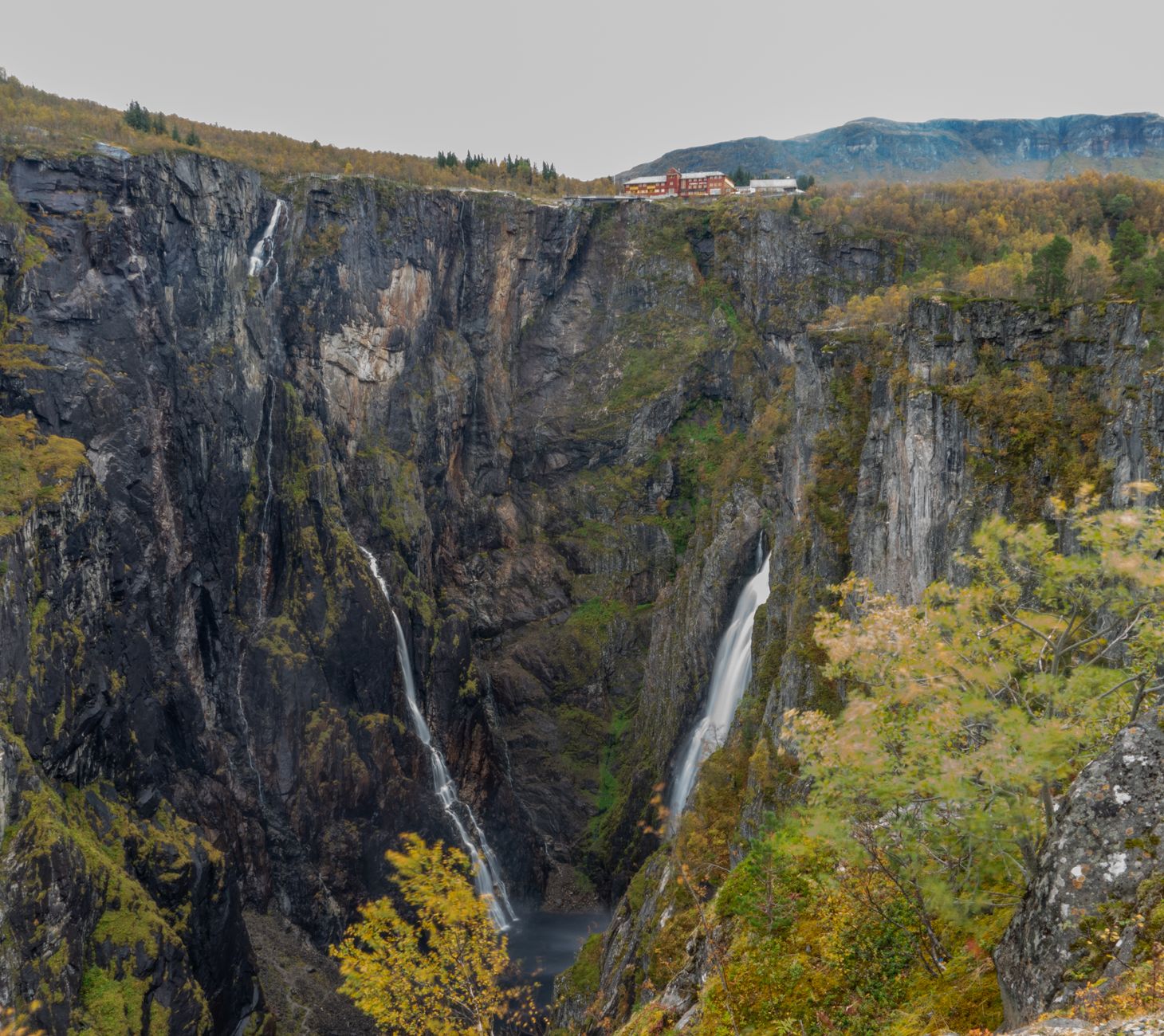
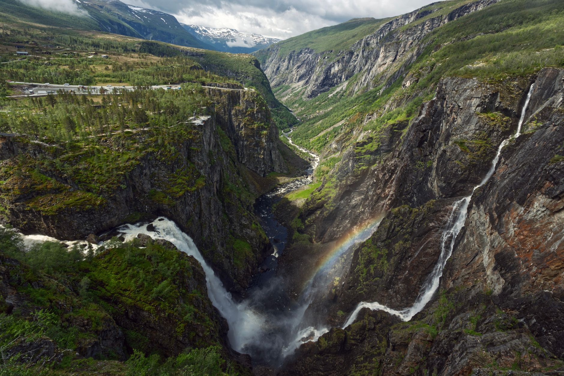
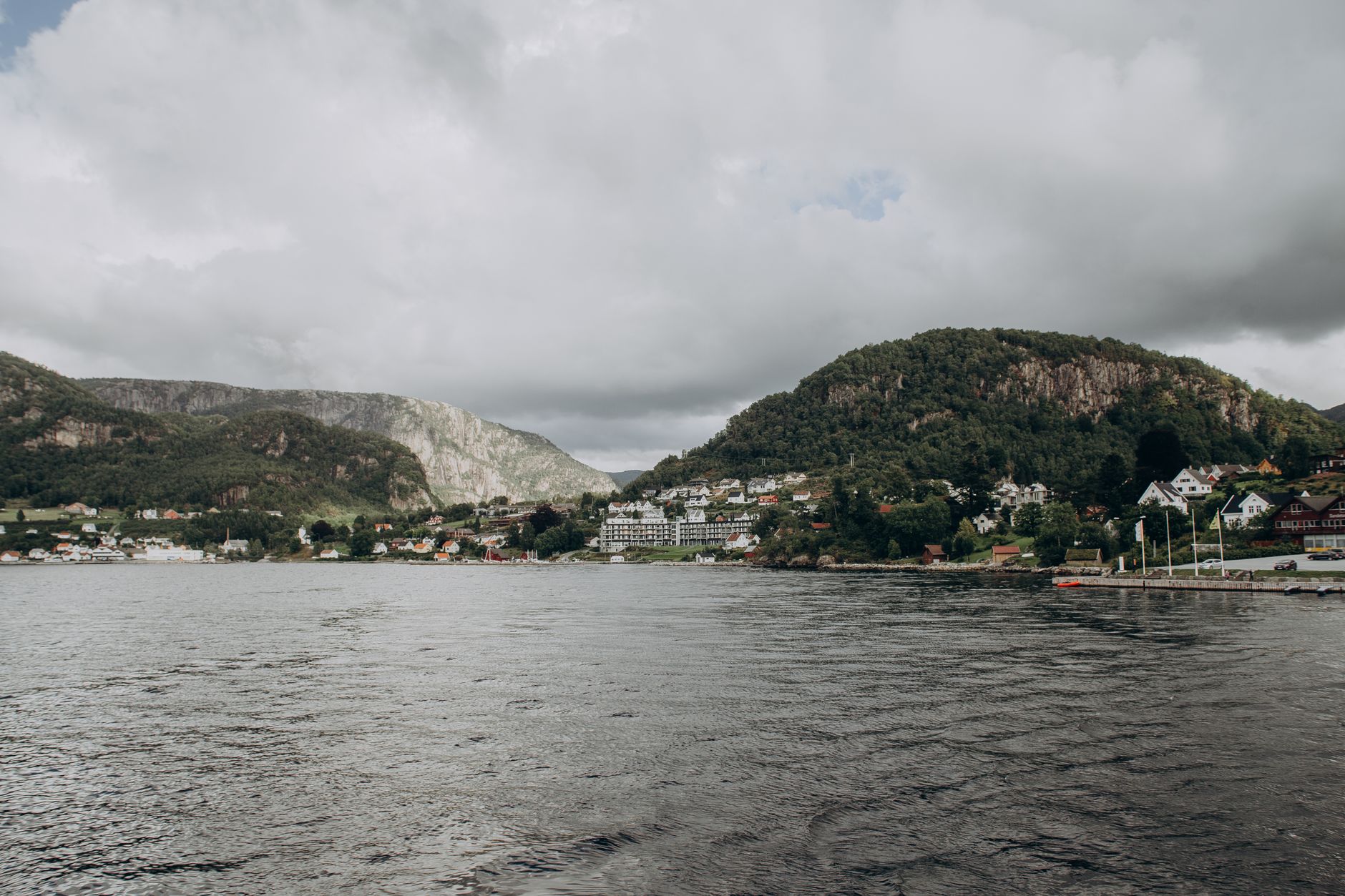
Eidfjord sits at the point where the land narrows between a fjord and a lake — the name says as much, from the Old Norse words for isthmus and water. The village is small enough to cross on foot in ten minutes, but it opens onto a landscape that scales up fast: a 182-metre waterfall at Vøringsfossen, a plateau national park above the treeline, and 350 Iron Age burial mounds on the hillside at Hæreid that nobody talks about as much as they should.
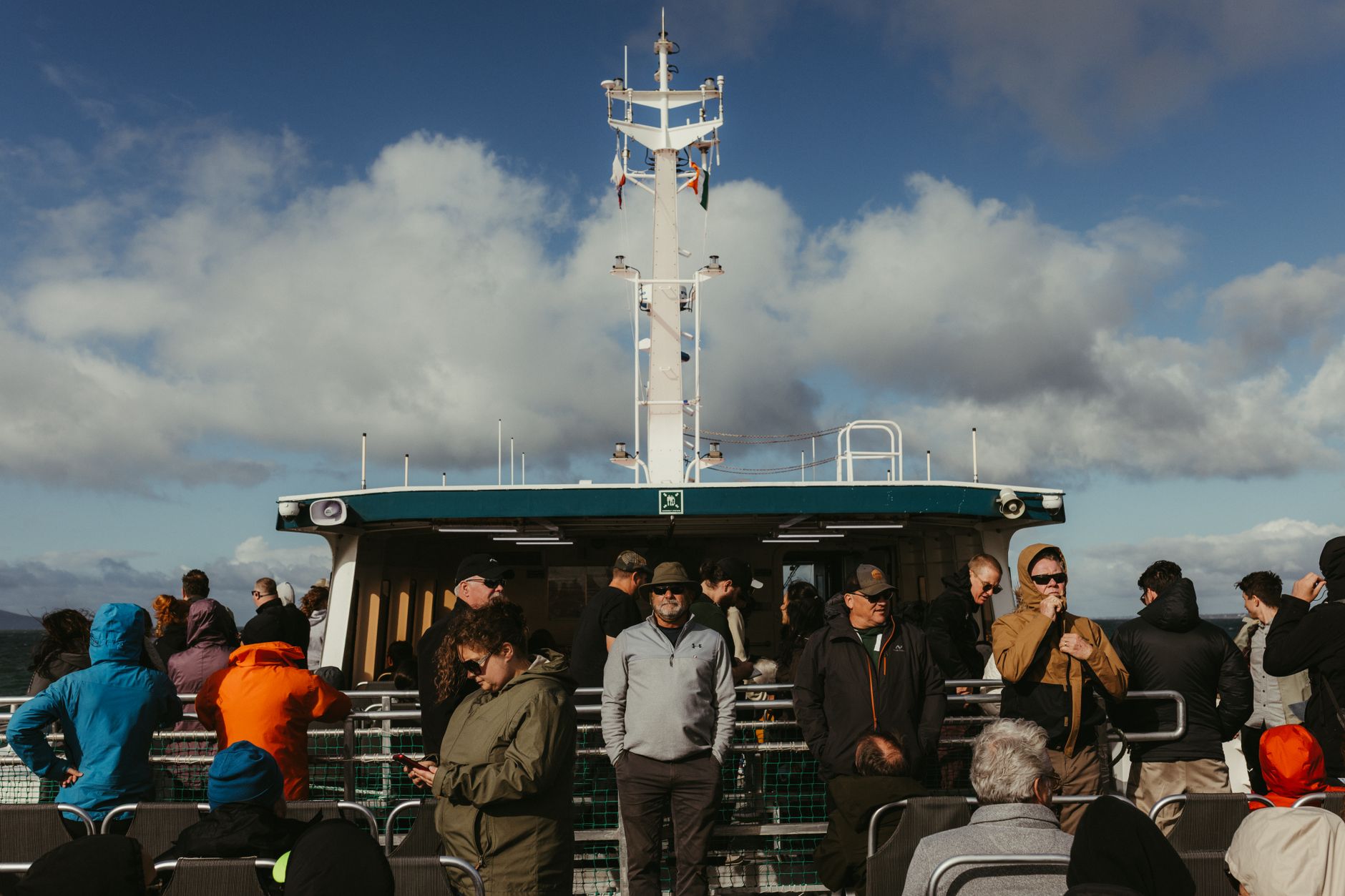
Cruise ships call here about 87 times a year, so the pier can fill and empty within hours. Stay two days and you get the place largely to yourself in the evenings — the cafés, the compact church with its zinc-covered tower, and the particular quality of light on the water when the day-trippers have gone.
💛 What travellers fall for
People who come back tend to mention Kjeåsen — the mountain farm perched 600 metres above the Simdalsfjord, reached by a road that only existed from 1975 onward. Go early, before the tour buses. The Hardangervidda Nature Centre in Øvre Eidfjord is also worth the short drive up if you want the geology and the reindeer counts to actually make sense once you're on the plateau.
Deals in Eidfjord
Book directly at the provider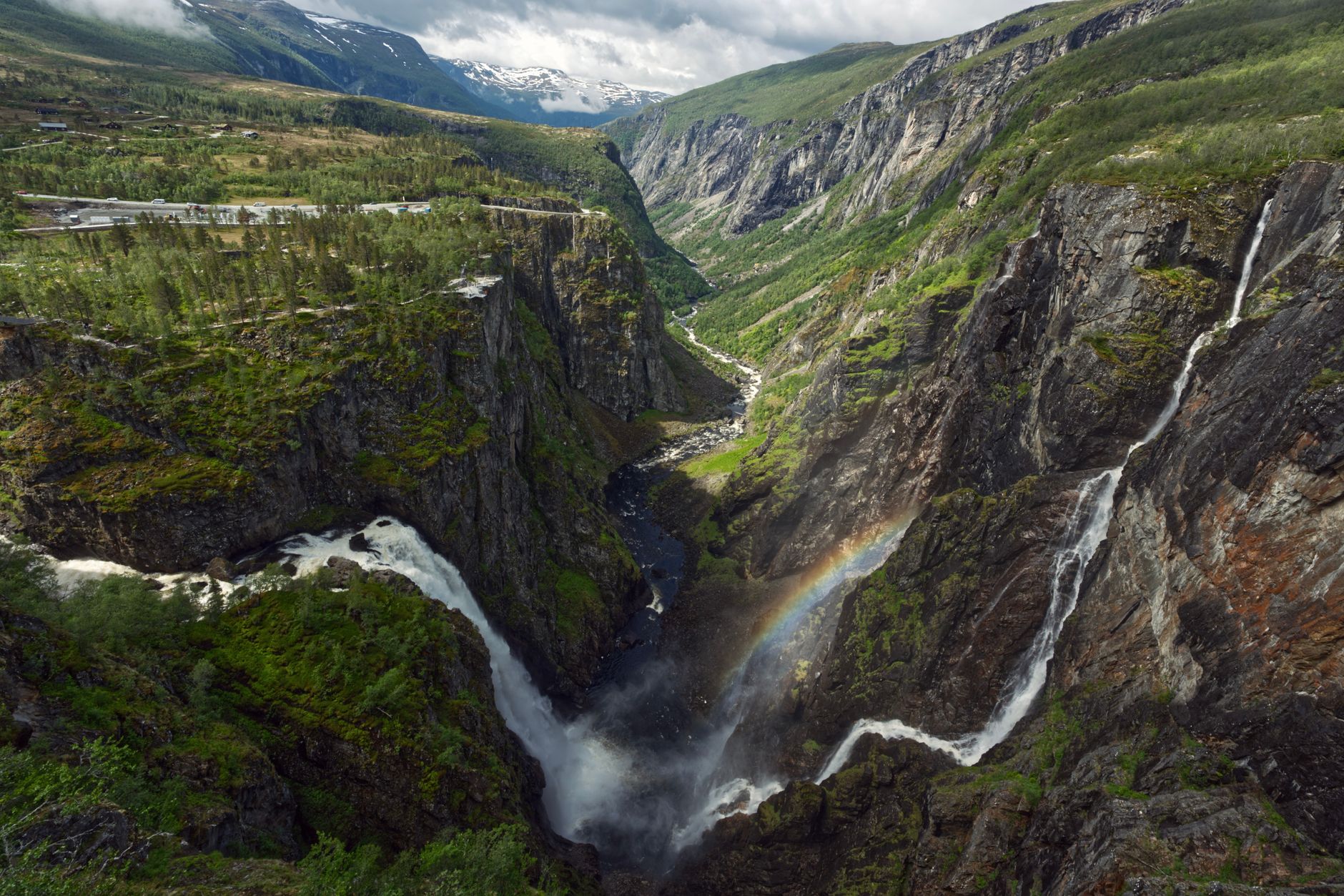

How Eidfjord came to be
People have lived at this narrow crossing of land since the Stone Age, though Eidfjord's ecclesiastical history runs through Stavanger rather than Bergen — the parish answered to Stavanger's bishop from 1125 all the way to 1630, a detail that cuts against the assumption that this corner of Norway always looked westward. The Old Church at Lægreid went up in 1309; the current Eidfjord Church carries stones from the 12th century in its oldest walls.
The municipality incorporated formally in 1891 — the same year Fossli Hotel opened and received Edvard Grieg as a guest — then dissolved into Ullensvang in 1964 before reasserting itself on 1 January 1977. The Sima hydropower plant, commissioned in stages through the 1970s and now Norway's second-largest at 1,120 MW, was built entirely inside the mountain and reshaped the local economy without altering the skyline.
Who and what shaped it
People who shaped it
Landmark buildings
See Eidfjord in motion
Plan your visit
On the map
When to go
June through August offers the longest days — up to 13 hours of sun — with temperatures reaching around 16°C in July, though the fjord valley can be wet at any point. Winter is dark and cold, with daily means dropping to -5°C and Rv7 frequently closed by snow; January is the wettest month by a margin.
Right now
Background & history adapted from Wikipedia (CC BY-SA) · specs from Wikidata (CC0) · weather from Open-Meteo · map data © OpenStreetMap contributors · photos from Wikimedia Commons / Unsplash with per-image credit. No third-party reviews or social posts reproduced.