
Galápagos Islands
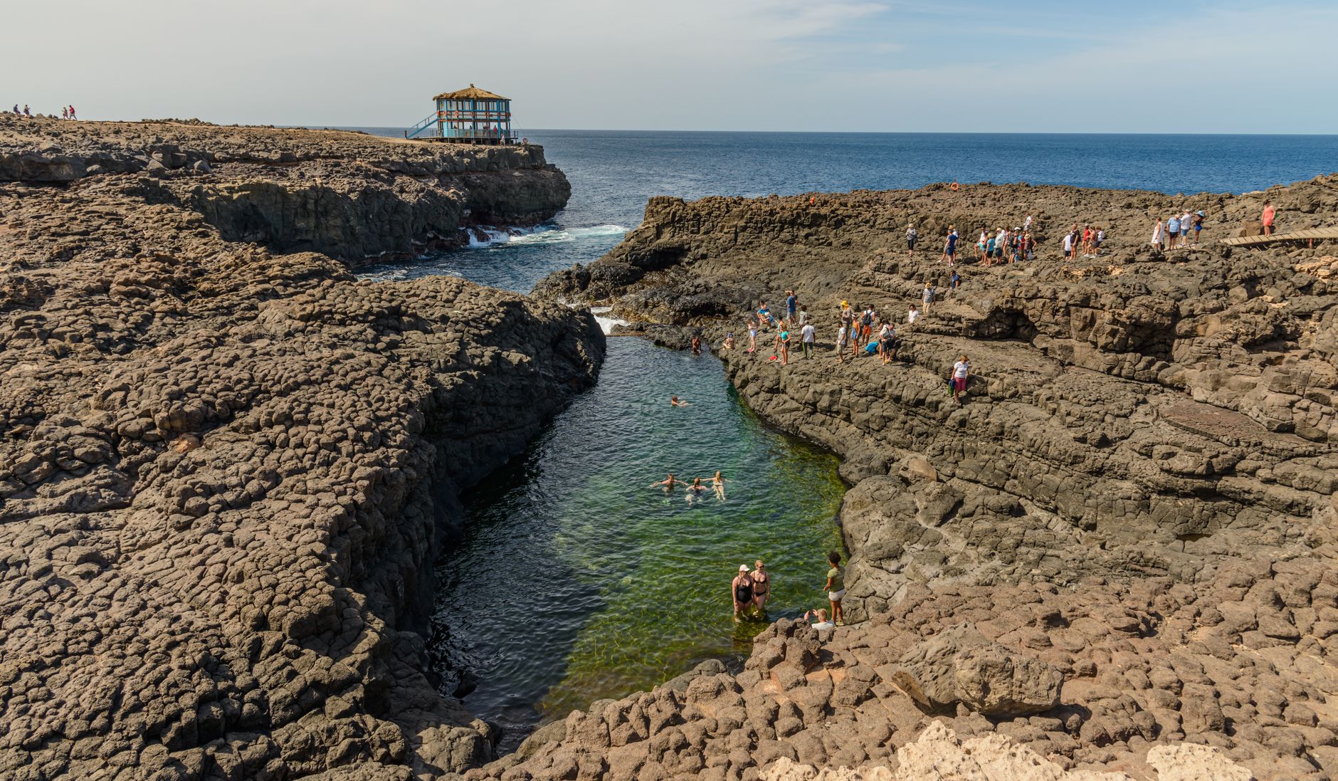
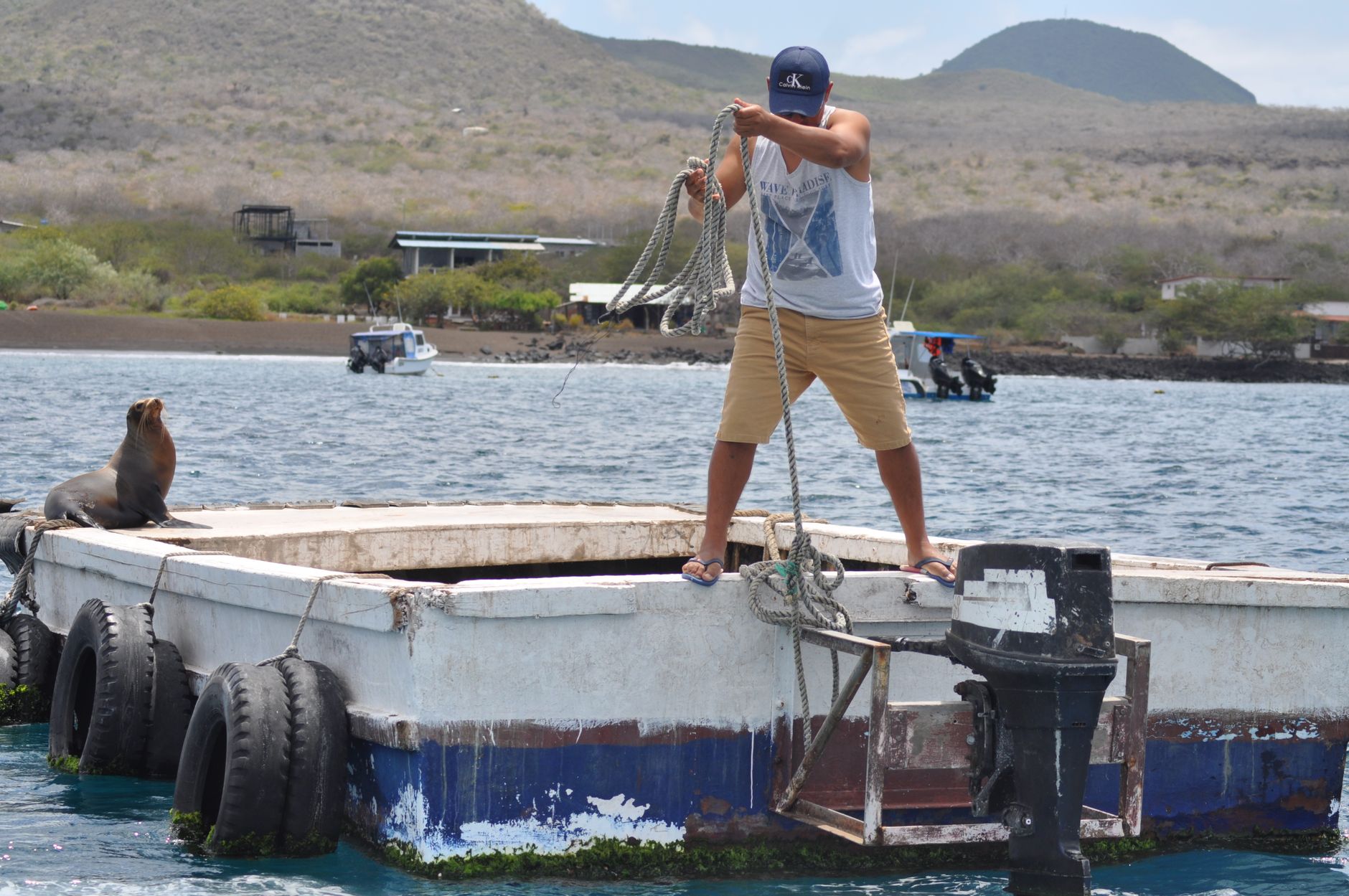
About 1,000 kilometres off the coast of Ecuador, the Galápagos sits in the Pacific like a rough draft of the world — volcanic rock still cooling in places, animals that never learned to fear you, and ecosystems that exist nowhere else on earth. Marine iguanas pile onto black lava at Punta Espinoza in numbers that stop you mid-step. Sea lions sleep across footpaths. The indifference of the wildlife is the whole point.
Ninety-five percent of the land is national park, and every visitor site requires a certified naturalist guide — which shapes the experience into something more like a field course than a holiday. That structure is worth knowing before you go, because it changes how you plan.
Popular cities in Galápagos Islands
How Galápagos Islands came to be
The islands appeared on European maps almost by accident. In 1535, Bishop Tomás de Berlanga was sailing to Peru when his ship drifted off course and made landfall here — he reported giant tortoises and strange, fearless birds. Ecuador formally claimed the islands on February 12, 1832, and almost immediately turned Floreana into a penal colony; a water shortage ended that experiment quickly, though the country continued using the remote archipelago as a prison for roughly a century. The Wall of Tears on Isabela — eight metres high, built by prisoners in the late 1940s and 1950s from volcanic rock — still stands near Puerto Villamil.
In 1835, Charles Darwin arrived aboard HMS Beagle and spent five weeks making observations that would eventually feed into his theory of natural selection, published in On the Origin of Species in 1859. The islands became Ecuador's first national park in 1959 and the first UNESCO World Heritage Site in 1978.
Who and what shaped it
People who shaped it
Landmark buildings
See Galápagos Islands in motion
Plan your visit
On the map
When to go
The warm season (January–May) brings hot days, short rain showers and calm, 25°C seas — the sunniest window overall. The cool, dry season (June–November) drops water temperatures and brings stronger currents, which draws divers but can mean choppier crossings between islands.
Right now
↡ Cities

Background & history adapted from Wikipedia (CC BY-SA) · specs from Wikidata (CC0) · weather from Open-Meteo · map data © OpenStreetMap contributors · photos from Wikimedia Commons / Unsplash with per-image credit. No third-party reviews or social posts reproduced.