Baltra
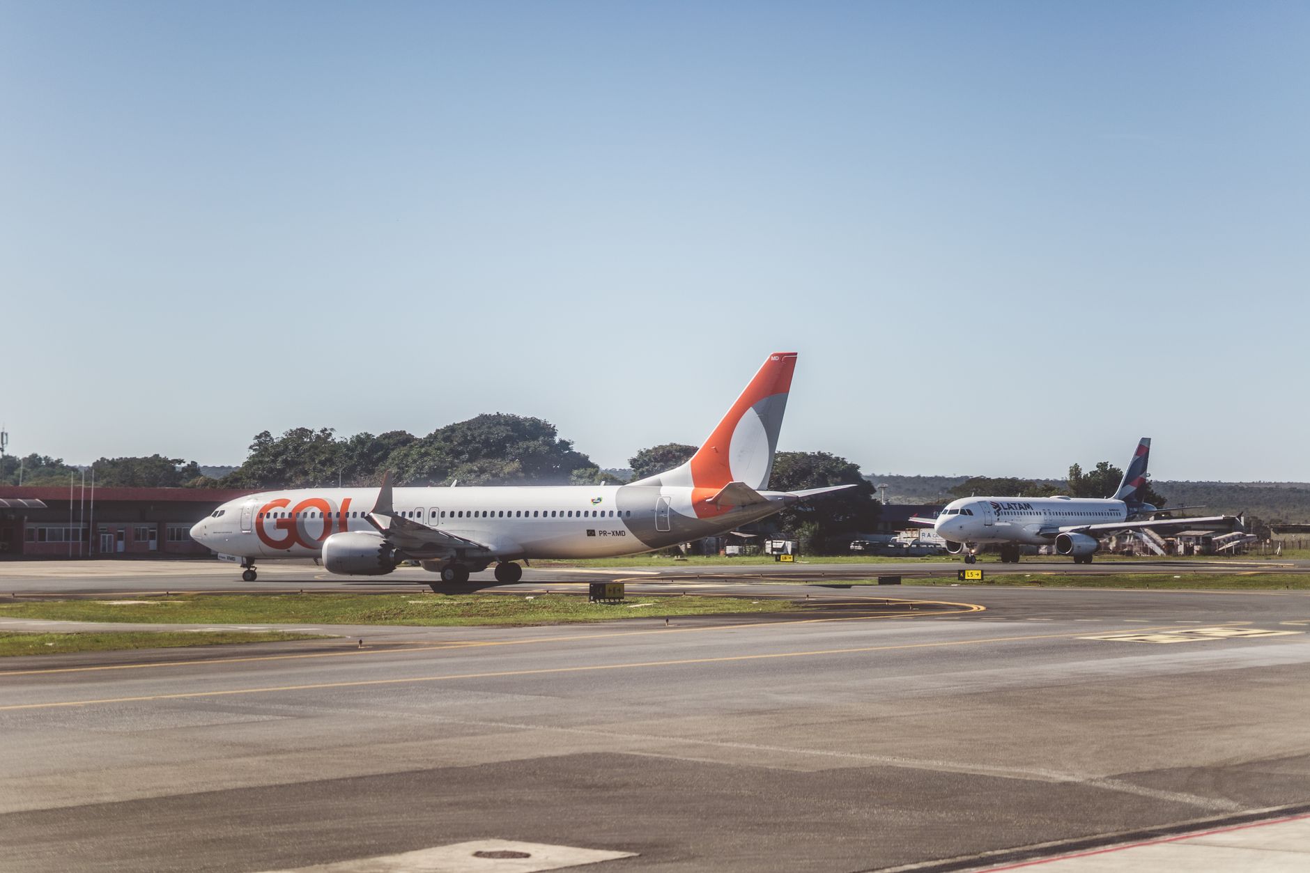
Most people clear Baltra in under an hour, which is exactly the point. This flat, scrubby island exists in the Galápagos chain almost entirely as a threshold — the place where the flights land and the archipelago begins. The airport itself is worth a second glance before you rush for the ferry: its terminal is built from recycled steel tubes pulled out of Amazon oil-drilling operations, and it was the first carbon-neutral airport in Latin America.
Beyond the terminal, the military base is closed to civilians, the roads are dusty and largely empty, and the land iguanas you might expect have long since been relocated to North Seymour. What lingers is the scale of the sky and the quiet strangeness of a place that has been, in its time, a US wartime outpost, an Ecuadorian military installation, and now the front door to one of the most closely watched ecosystems on earth.
💛 What travellers fall for
Regulars tend to flag the ATMs inside the terminal — Banco Pichincha and Banco del Pacifico — as worth hitting before you board the bus to Itabaca. Cash runs short fast on the islands, and there is nothing comparable at the channel crossing. The bus to the ferry costs $5, the ferry itself $1, and the whole sequence takes about twenty minutes.
Deals in Baltra
Book directly at the providerHow Baltra came to be
Spanish Bishop Tomás de Berlanga first noted the island in 1535, and for the next four centuries it attracted almost no sustained human attention. By 1845 British charts were calling it Seymour's Isle, after George Francis Seymour, Commander-in-chief of the Pacific Station. The name most people now use likely traces to Lieutenant Humberto Baltra Opazo, a Chilean naval officer who surveyed the island and the Itabaca Channel during a three-week hydrographical expedition in 1910.
The island's modern shape was decided in Washington. Franklin D. Roosevelt visited aboard the USS Houston in the 1930s as the US government weighed a Pacific air base to guard the western approach to the Panama Canal. Construction began in February 1942; within two months a mile-long airstrip was operational, eventually surrounded by barracks for a thousand soldiers, hangars, a cinema, and an outdoor beer garden. After Eleanor Roosevelt toured and called conditions 'deplorable,' a bowling alley was added. The US handed the base to Ecuador in 1945, and commercial flights began in 1963. The foundation lines of the wartime buildings are still visible from the air.

Who and what shaped it
People who shaped it
Landmark buildings
See Baltra in motion
Plan your visit
On the map
When to go
From June to December the garúa season brings cooler, windier days — temperatures sit between 20°C and 25°C and the sky often stays overcast. The warm season, roughly January through May, is more humid and can reach 30°C, with March as the warmest month; annual rainfall is low at just under 300mm, so the island stays dry and dusty year-round.
Right now
Background & history adapted from Wikipedia (CC BY-SA) · specs from Wikidata (CC0) · weather from Open-Meteo · map data © OpenStreetMap contributors · photos from Wikimedia Commons / Unsplash with per-image credit. No third-party reviews or social posts reproduced.