
Arusha Region
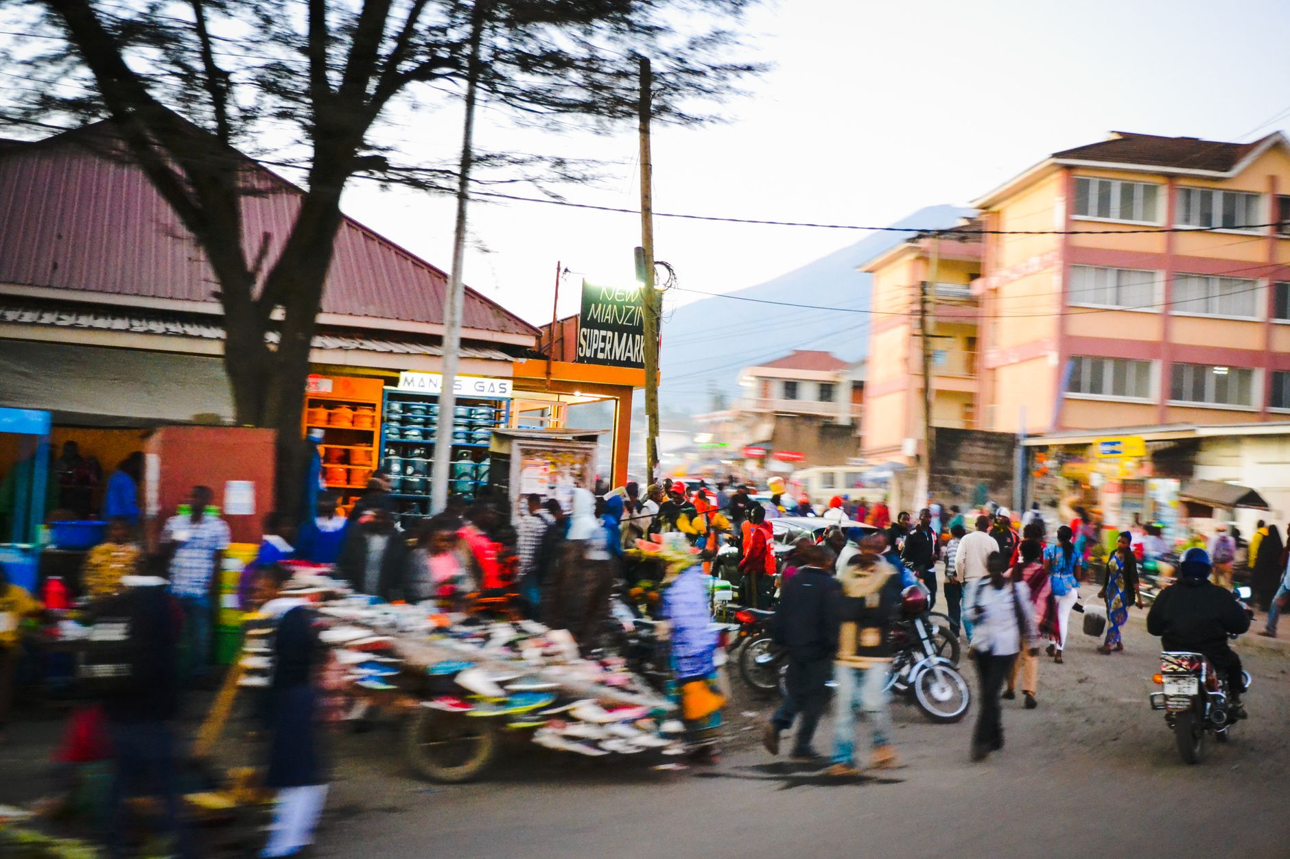
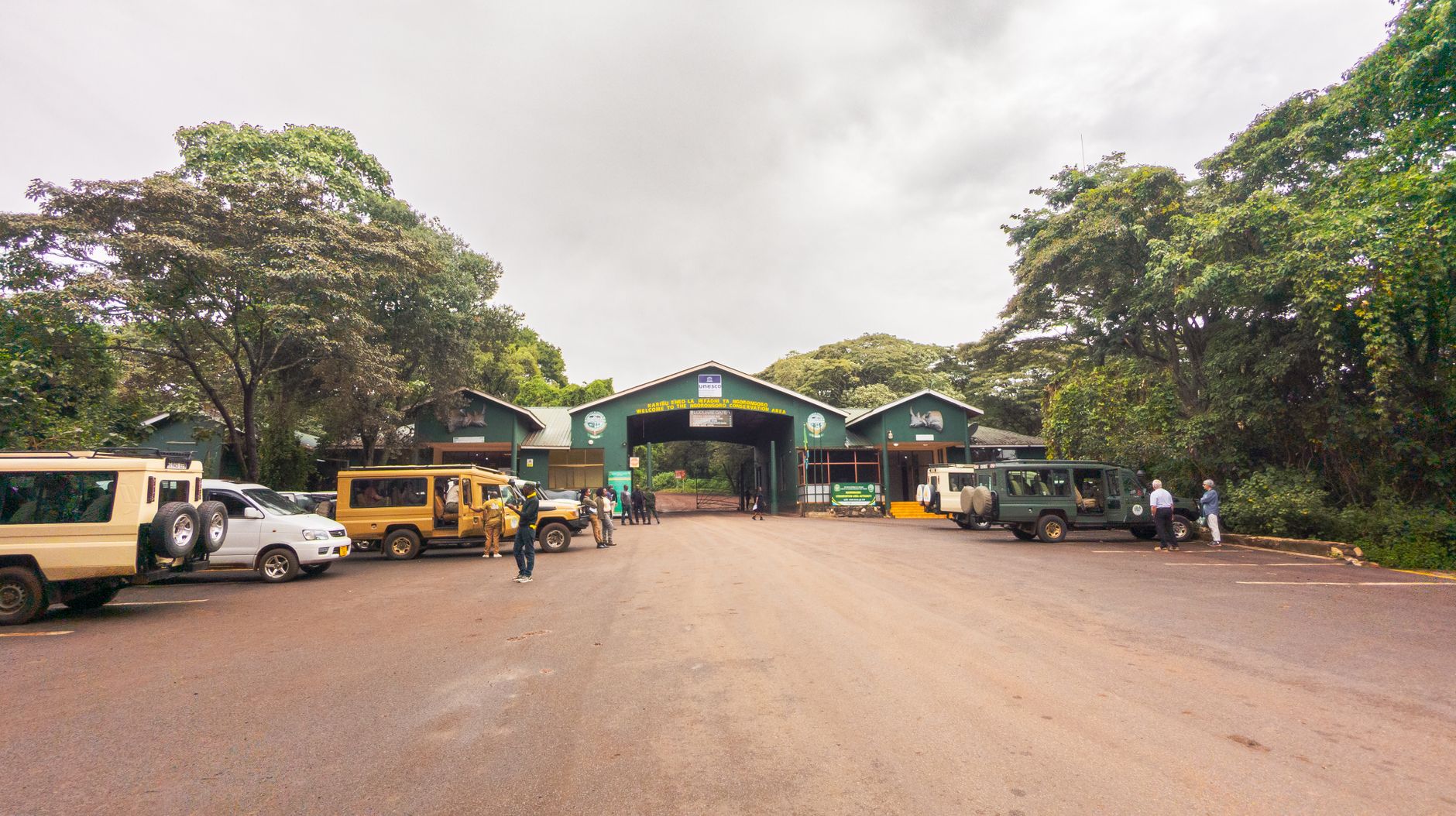
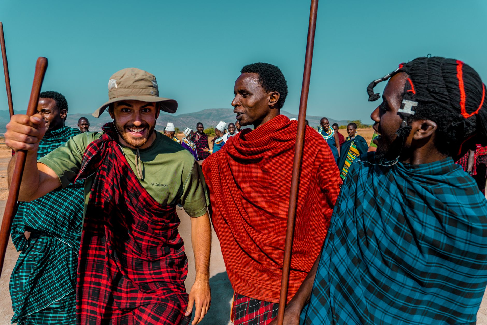
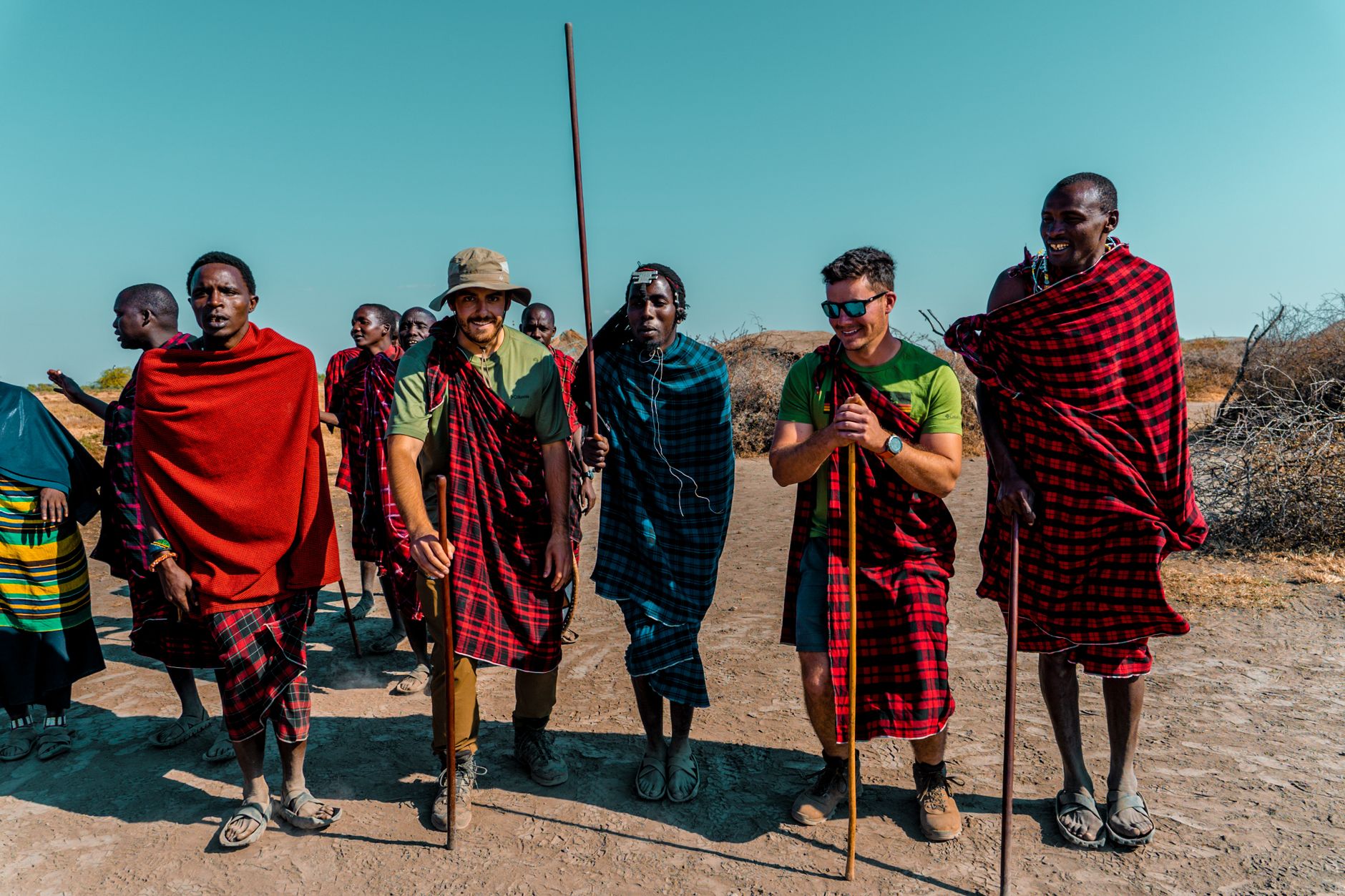
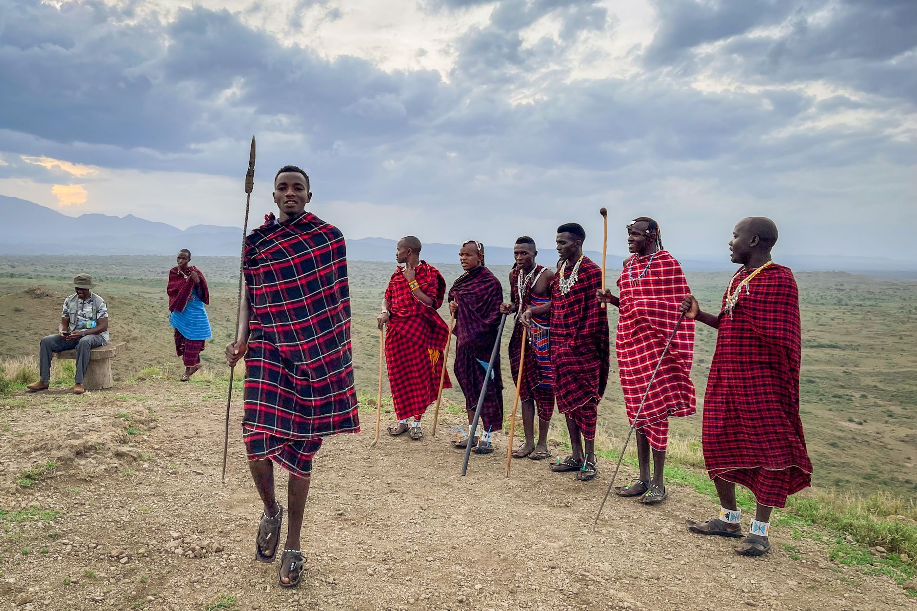
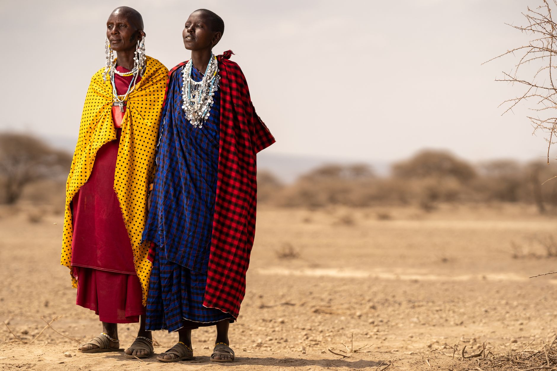
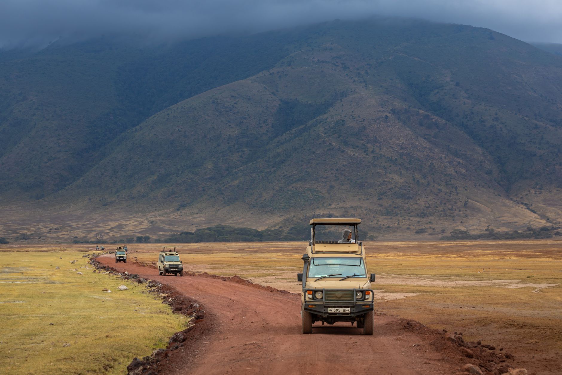
Arusha Region is where the safari begins and, for many people, where it lingers longest. The city itself sits at roughly 1,400 metres, which keeps the air cool enough for a jacket at night even in March, and the surrounding landscape shifts fast — from the near-perfect cone of Mount Meru to the ancient calderas of Ngorongoro to the active volcano Ol Doinyo Lengai, which the Maasai call the Mountain of God.
The region holds Ngorongoro Conservation Area, Arusha National Park, and Loliondo Game Controlled Area, along with some of the best coffee plantations in East Africa. The Arusha Clock Tower, standing at a traffic roundabout in the city centre, marks the approximate midpoint between Cairo and Cape Town — a small, grounding fact that puts the whole region in scale.
Popular cities in Arusha Region
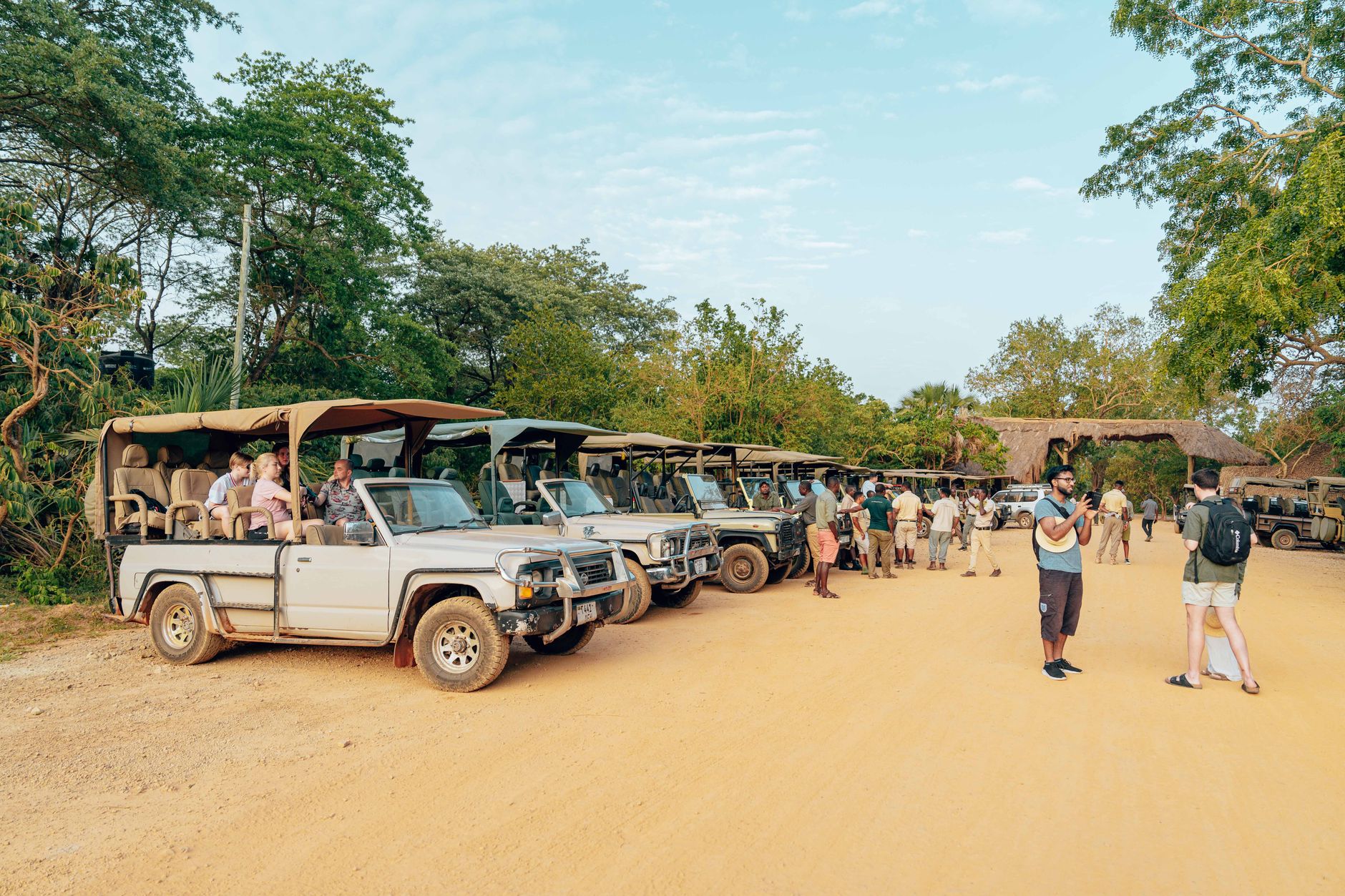
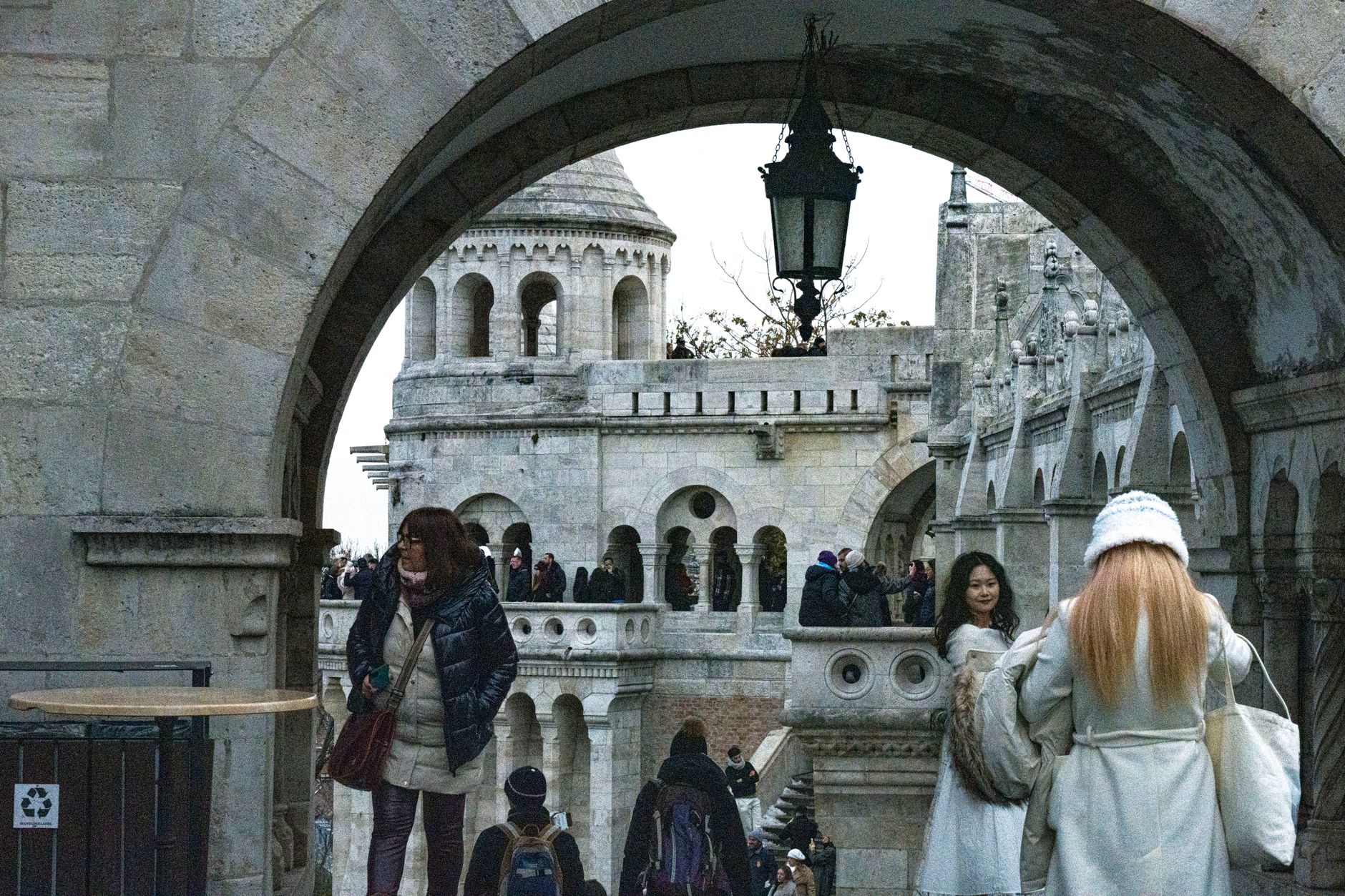
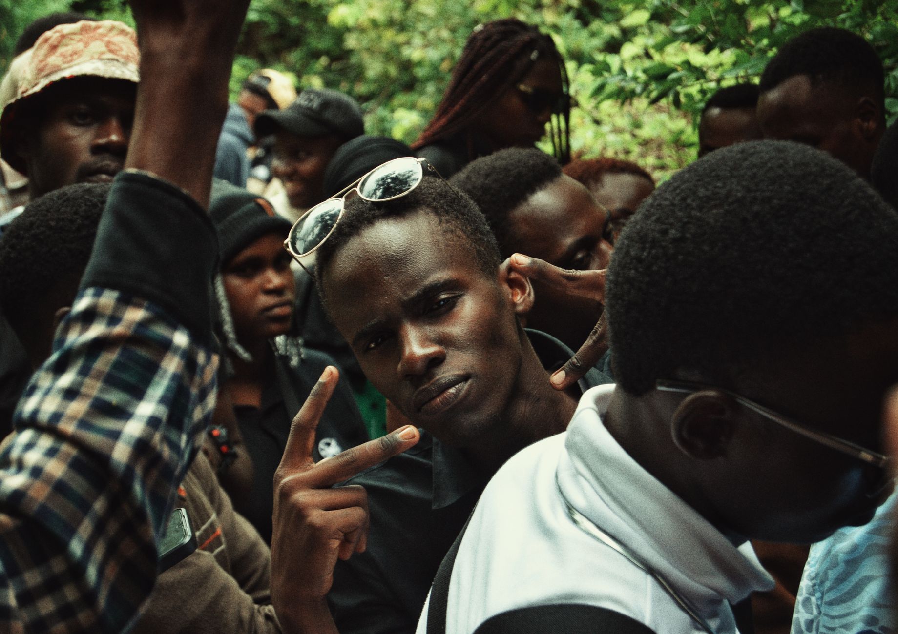
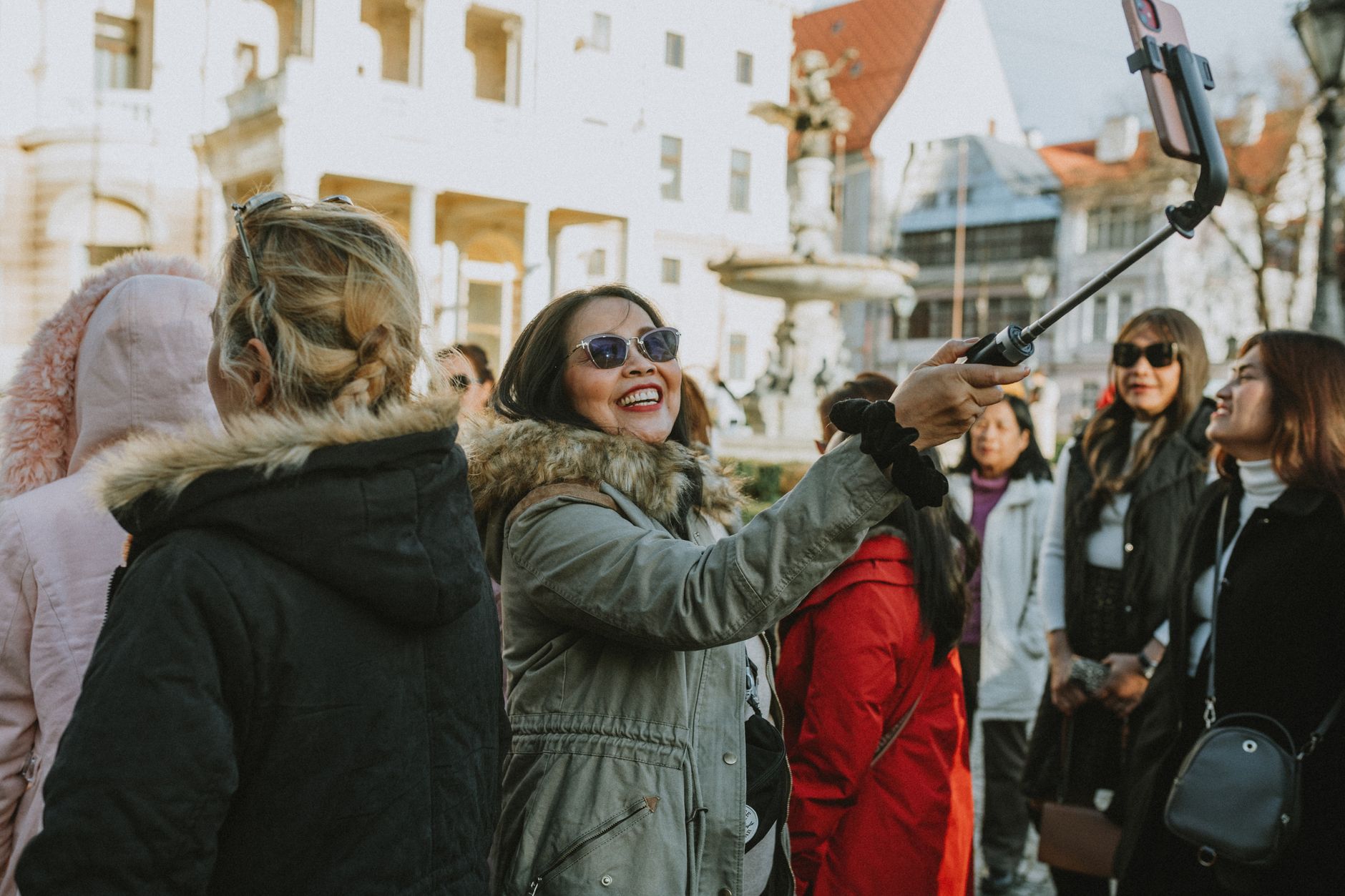
How Arusha Region came to be
The Arusha people trace their roots to Arusha Chini, a community south of Mount Kilimanjaro, from which they migrated roughly 400 years ago. Their agro-pastoral descendants settled the current city site in the 1830s. By 1922, with mainland Tanzania administered as the British mandate of Tanganyika under the League of Nations, Arusha had its own regional status. The British introduced coffee cultivation in 1920 — the plantations that still define the region's economy — and in 1948 appointed Chief Simeon Laiseri as the first formal community leader of the Waarusha people.
After Tanzanian independence, Arusha was granted its own regional status in 1966. In 2002, Manyara Region was carved out from it, giving the area its present boundaries. The National Natural History Museum, housed in a former German administration outpost from the early 1900s, has been open to the public since 1987.
Who and what shaped it
People who shaped it
Landmark buildings
See Arusha Region in motion
Plan your visit
On the map
When to go
The altitude keeps temperatures mild year-round — warmest around 22°C in March, coolest around 18°C in July — with cool to cold nights in most months. The long rains run March to May and the short rains November to December; the dry season from June to October is generally the most reliable window for wildlife areas and trekking.
Right now
↡ Cities
Background & history adapted from Wikipedia (CC BY-SA) · specs from Wikidata (CC0) · weather from Open-Meteo · map data © OpenStreetMap contributors · photos from Wikimedia Commons / Unsplash with per-image credit. No third-party reviews or social posts reproduced.