
Namanga

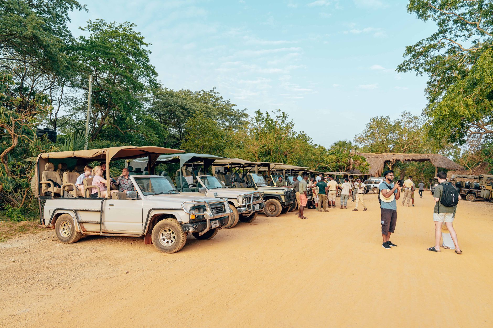

Two countries meet in Namanga across a strip of dirt no wider than a city block. On one side, Tanzania's Longido District; on the other, Kenya's Kajiado County. Maasai herders move cattle between them without ceremony, as they always have, largely indifferent to the paperwork happening a few hundred metres away at the One-Stop Border Post.
Most travellers pass through in under half an hour, eyes on Amboseli or Arusha. But Namanga itself rewards a slower look — Ol Doinyo Orok rising to 2,548 metres to the northwest, Kilimanjaro visible on a clear morning, and a market where the trade is genuinely local rather than staged for cameras.
💛 What travellers fall for
People who cross here regularly say the same thing: sort your e-visa before you arrive. The border runs 24 hours and the OSBP has cut wait times to around 30 minutes on a normal day, but a missing document at 2 a.m. is a different matter. The bus to Arusha — about two hours on the A104 — costs three dollars and leaves twice daily.
Deals in Namanga
Book directly at the provider


How Namanga came to be
The Maasai have occupied this borderland for centuries, part of a broader southward expansion of pastoralist communities that archaeological evidence traces back roughly 5,000 years to the Lake Turkana region. The town itself grew up around the crossing point, and by 2004 its economy had become closely tied to the flow of tourists heading to Amboseli National Park from Nairobi.
In 2007, two things changed Namanga's shape: the ward was transferred from Monduli District to the newly formed Longido District, and the African Development Bank committed $108 million to Kenya and $77 million to Tanzania for road upgrades and the construction of the One-Stop Border Post — the infrastructure that now makes this the busiest land crossing between the two countries.
Who and what shaped it
Landmark buildings
See Namanga in motion
Plan your visit
On the map
When to go
Namanga sits at around 1,350 metres, which takes the edge off what would otherwise be a harsh semi-arid heat — nights drop to 14–17°C year-round, and days rarely push past 29°C. The driest, most reliable months for travel run June through September; the rest of the year brings two rainy seasons that can briefly turn the dirt roads to mud.
Right now
Background & history adapted from Wikipedia (CC BY-SA) · specs from Wikidata (CC0) · weather from Open-Meteo · map data © OpenStreetMap contributors · photos from Wikimedia Commons / Unsplash with per-image credit. No third-party reviews or social posts reproduced.