
Karatu
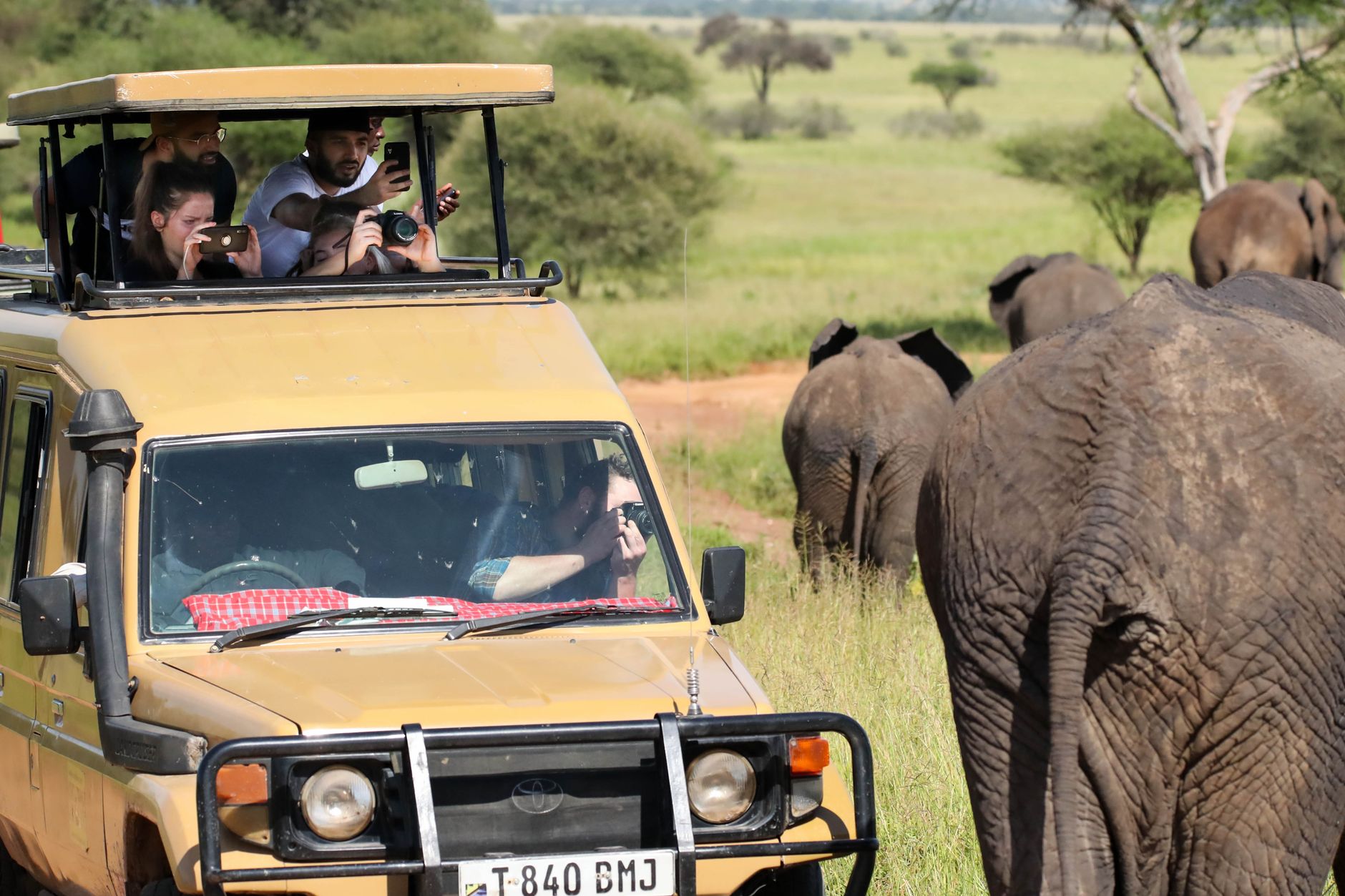
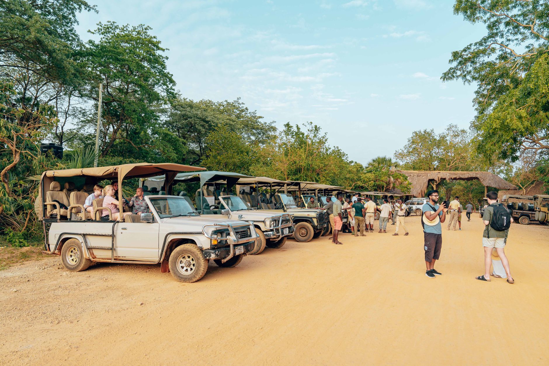
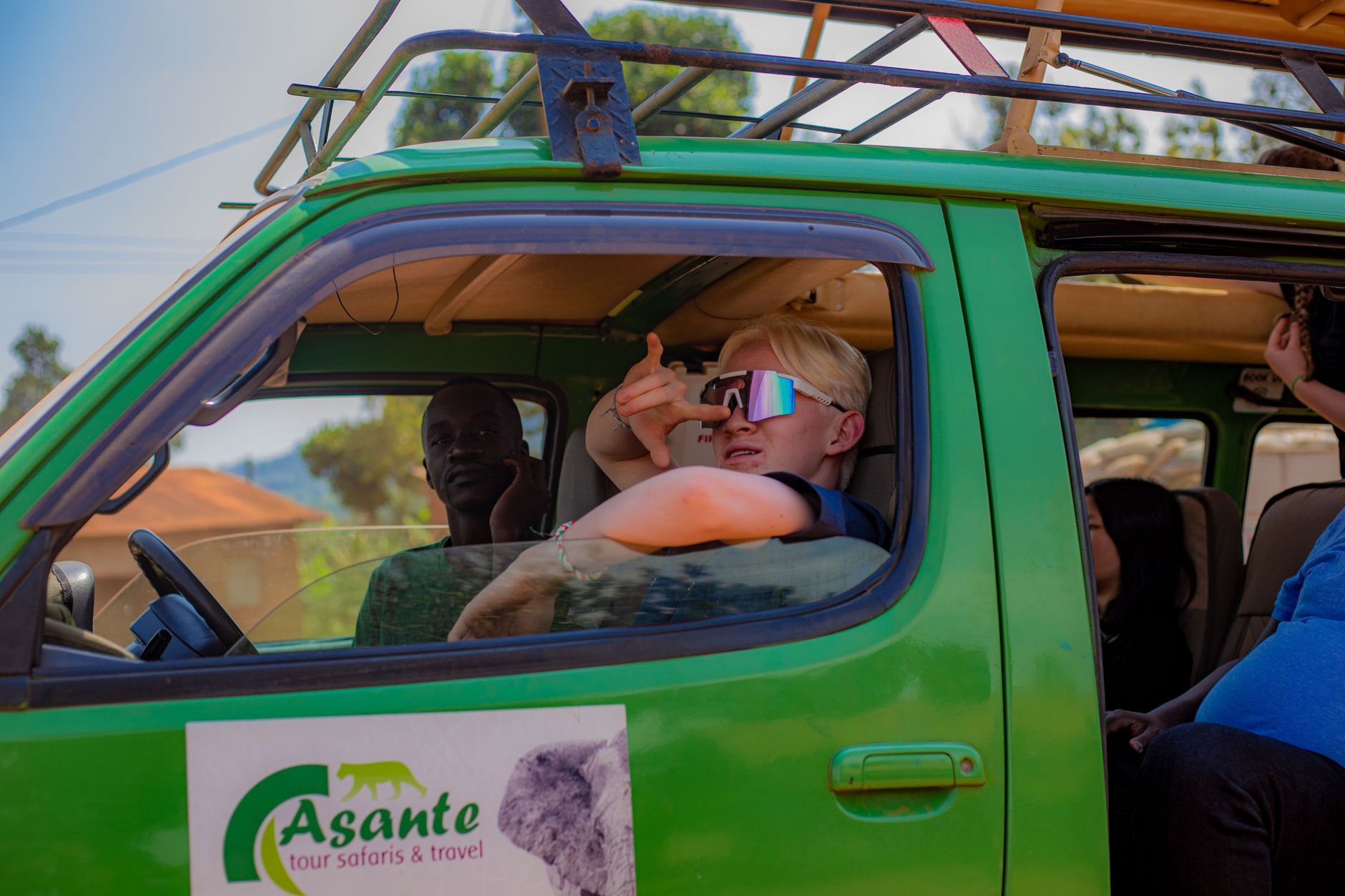
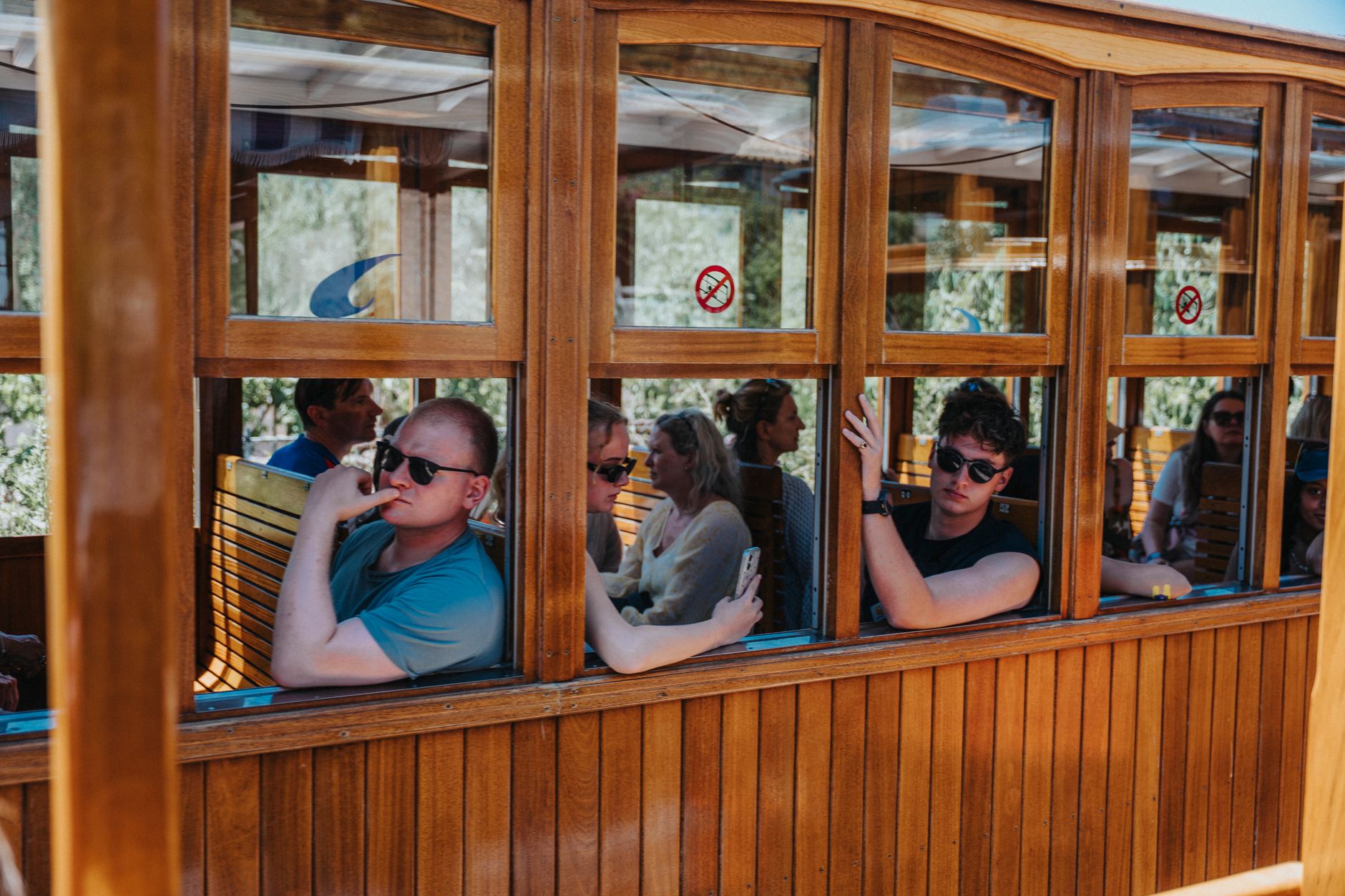
The road into Karatu arrives at 1,522 metres through a corridor of coffee and wheat, and the town itself doesn't ease you in gently — safari trucks idle beside ox-carts, tuk-tuks thread past Maasai herders, and the smell of red volcanic earth is everywhere. It sits at the edge of the Ngorongoro highlands, which means it catches the cool air rolling down from the crater rim and the particular green that comes with genuine agricultural fertility.
Karatu is primarily a place of the Iraqw people, Cushitic-speaking farmers who have worked these highlands for roughly two thousand years. Their bi-monthly market — held on the 7th and 25th of each month — is one of the more honest ways to read the town: livestock, spices, hand-thrown pottery, and the kind of transactional calm that comes from a market that exists for locals, not visitors.
💛 What travellers fall for
People who return tend to mention the same two things: the Elephant Cave trail in the early morning, when the light through the forest canopy is still soft, and the coffee estates — Gibb's Farm in particular — where you can watch the full process from cherry to cup. The Exim Bank ATM is the only place to load your TANAPA card for Ngorongoro; sort that before anything else.
Deals in Karatu
Book directly at the provider

How Karatu came to be
The Iraqw arrived in these highlands around 2,000 years ago, bringing cultivation techniques suited to the volcanic soils and a language whose roots trace back to the Ethiopian highlands. They weren't alone for long: by the late 18th century, Maasai and Datoga pastoralists were competing for the same grazing grounds, and the friction between farming and herding cultures shaped the social landscape for generations.
German East Africa absorbed the area after 1885. The colonial administration introduced cash crops and cut new infrastructure through indigenous routes, bending the land's use toward export. The town's connection to Oldeani — the peak that reaches 1,739 metres and anchors the district's skyline — dates from that period, when the Germans recognized the agricultural and strategic value of the highlands. Karatu District was formally constituted as an administrative council in 1997 and registered in 2000.
Who and what shaped it
Landmark buildings
See Karatu in motion
Plan your visit
On the map
When to go
At 1,522 metres the air stays cool year-round — daytime highs of around 22–28°C depending on the month, with nights dropping to 12–16°C. May through October is the driest window; January is the wettest month, and July the coldest, though 'cold' here means a light layer in the evening.
Right now
Background & history adapted from Wikipedia (CC BY-SA) · specs from Wikidata (CC0) · weather from Open-Meteo · map data © OpenStreetMap contributors · photos from Wikimedia Commons / Unsplash with per-image credit. No third-party reviews or social posts reproduced.