
Ngorongoro
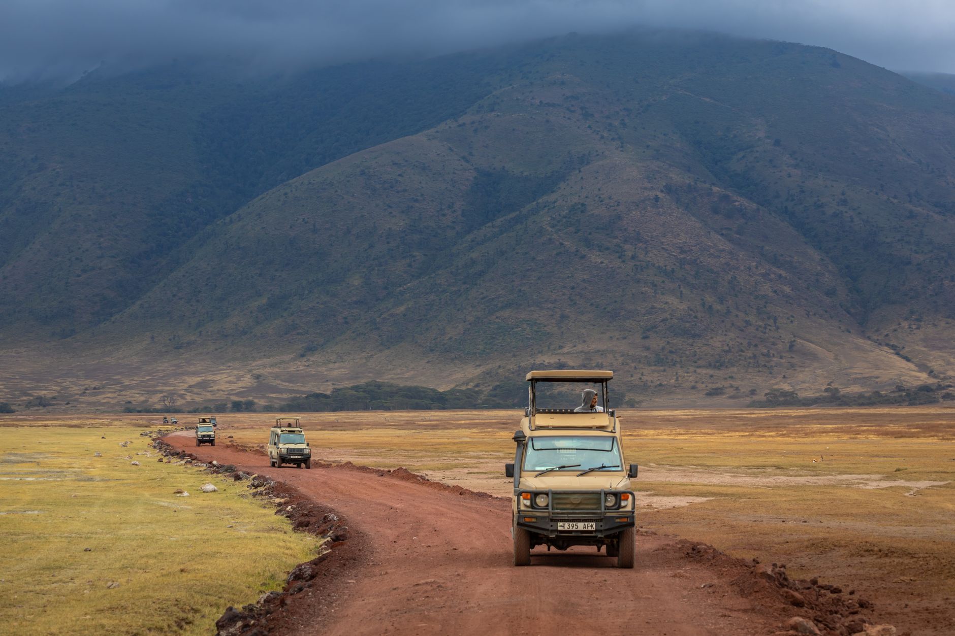
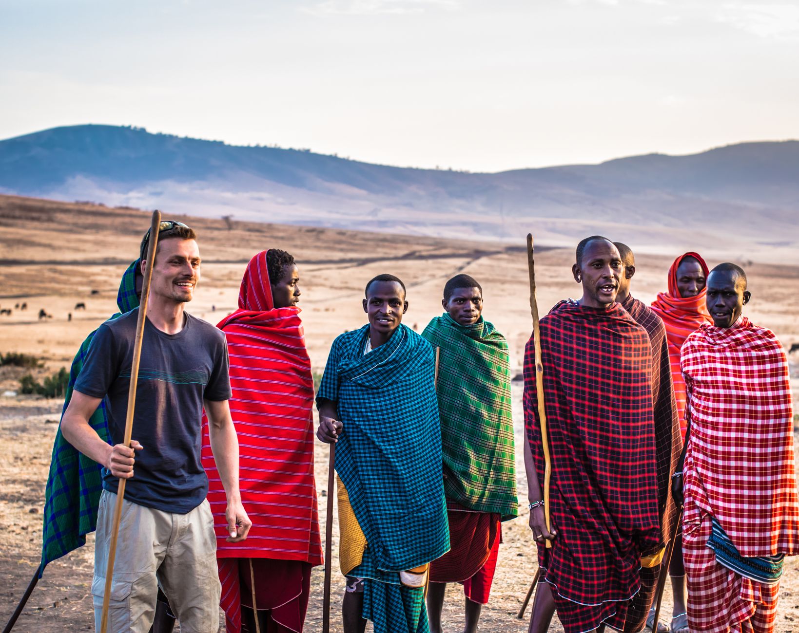
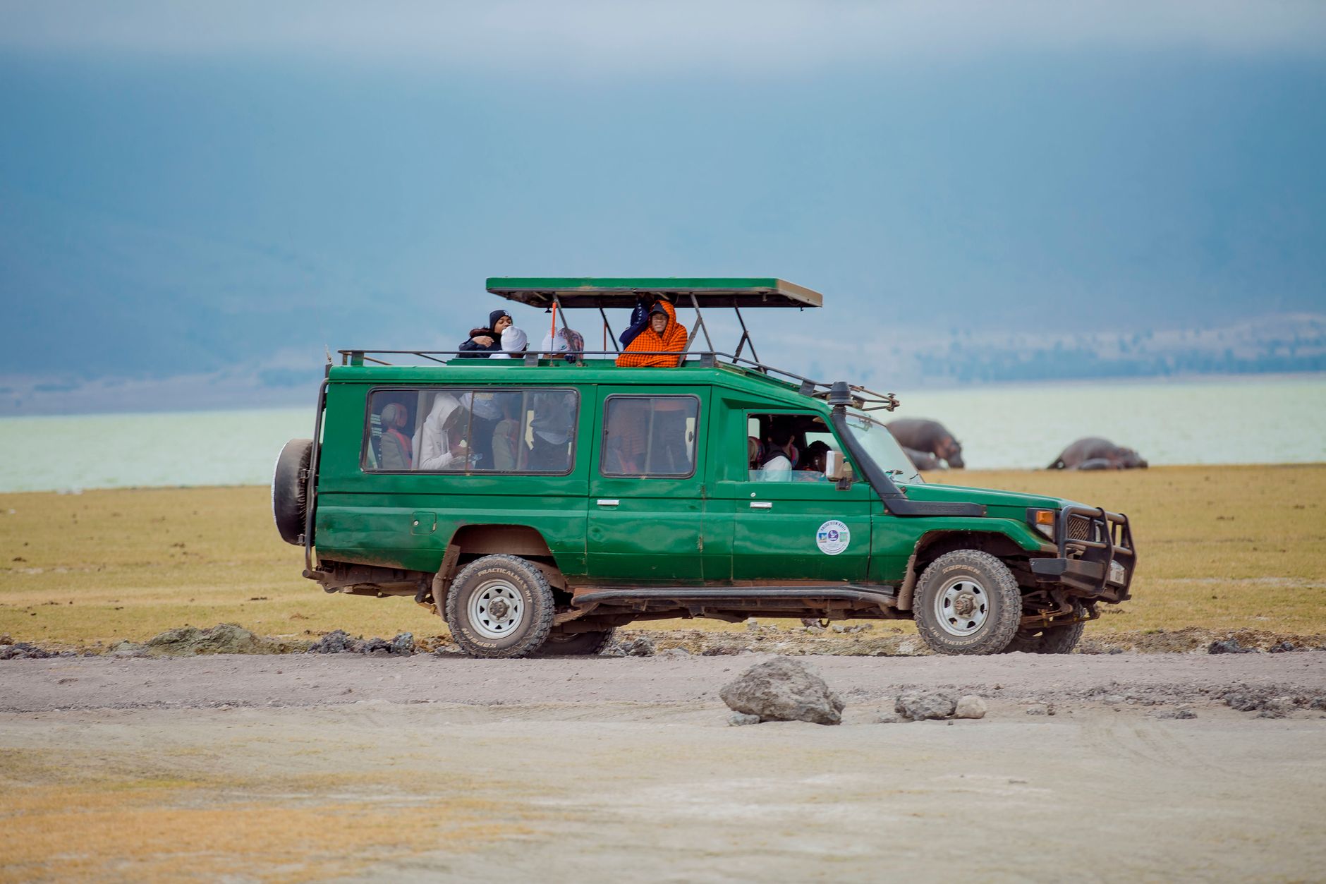
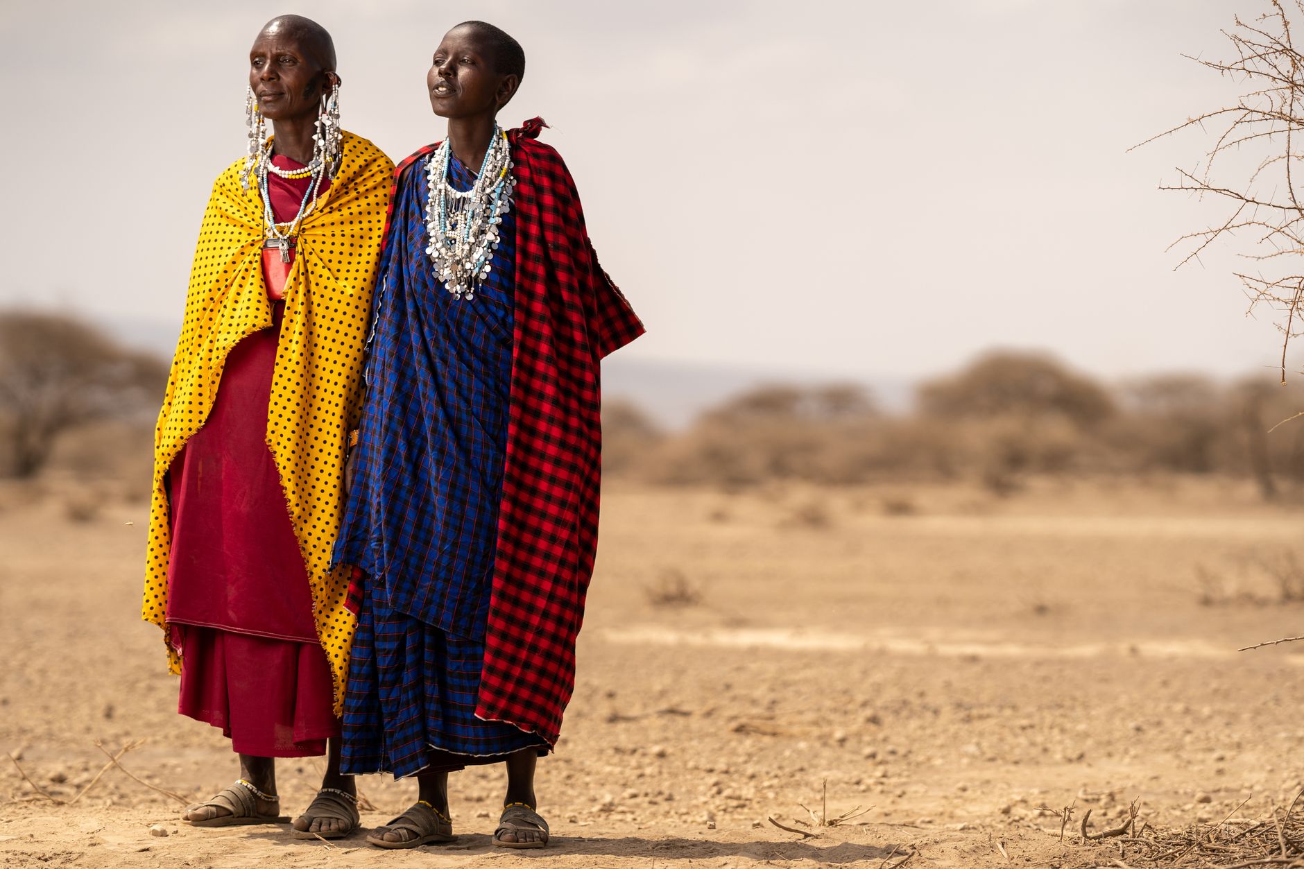
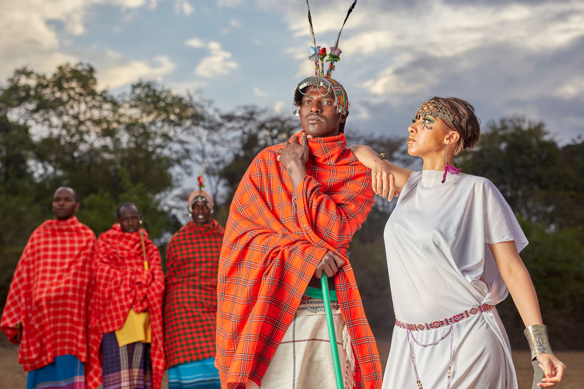
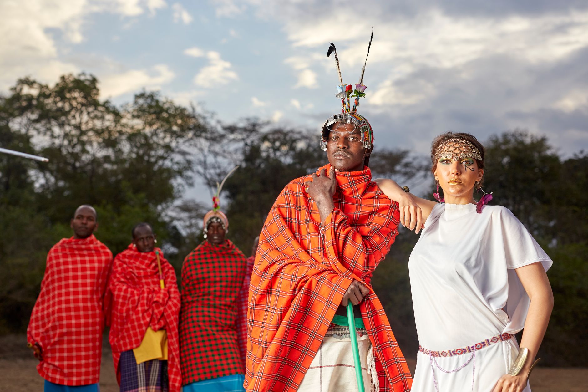
The name Ngorongoro comes from the sound of a cowbell — ngoro ngoro — which is what Maasai pastoralists heard echoing across a crater so large it took a moment to understand what they were looking at. That crater, roughly 20 kilometres across and 600 metres deep, formed when a volcano collapsed in on itself two to three million years ago, and what remained is now one of the densest concentrations of large mammals on earth, all of it contained within a single, self-enclosed world.
The Ngorongoro Conservation Area is not a national park in the conventional sense. It was split from the Serengeti in 1959 specifically to allow the Maasai to continue living alongside wildlife — a policy that has been progressively eroded ever since, with relocation programmes that remain deeply contested. That tension between conservation and the people who shaped this landscape is part of what you are visiting.
💛 What travellers fall for
People who come back tend to book a second crater descent for the early morning, before the light flattens. They also mention packing a proper down layer — the rim sits above 2,300 metres and the nights can drop below freezing even in the dry season. The Olduvai Gorge Museum is worth the detour; the replicas of Leakey-era finds are modest, but standing above a gorge where human remains 1.5 million years old were excavated does something to your sense of scale.
Deals in Ngorongoro
Book directly at the provider


How Ngorongoro came to be
Oscar Baumann became the first European to document the crater in 1892. Two decades later, German brothers Adolph and Friedrich Siedentopf were farming its floor — an arrangement that ended with the outbreak of World War I in 1916. By 1930 the area had come under game preservation ordinances, and in 1959 the Ngorongoro Conservation Area Ordinance formally separated it from the Serengeti, partly to accommodate the Maasai who had themselves displaced the Iraqw and Datooga peoples from this landscape in the 1800s.
The area earned UNESCO World Heritage status in 1979. In the same decades, Louis and Mary Leakey were working at Olduvai Gorge — a 14-kilometre ravine on the crater's edge — where excavations uncovered human remains dating back 1.5 to 2 million years. A 2009 act restricted farming on the crater floor, and by 2021 the Tanzanian government was implementing plans to relocate Maasai communities to Msomera, 600 kilometres away.
Who and what shaped it
People who shaped it
Landmark buildings
See Ngorongoro in motion
Plan your visit
On the map
When to go
On the crater rim at around 2,300 metres, expect average daytime temperatures of roughly 16°C through the wet season and 13–14°C in the coldest months of June through August, with nights that can freeze; the crater floor runs warmer, reaching the low 20s°C on wet-season afternoons. June through September brings clearer skies and drier tracks but larger crowds; the short rains in November and December and the long rains from March through May thin the traffic considerably, though April roads can be slow.
Right now
Background & history adapted from Wikipedia (CC BY-SA) · specs from Wikidata (CC0) · weather from Open-Meteo · map data © OpenStreetMap contributors · photos from Wikimedia Commons / Unsplash with per-image credit. No third-party reviews or social posts reproduced.