
Longido
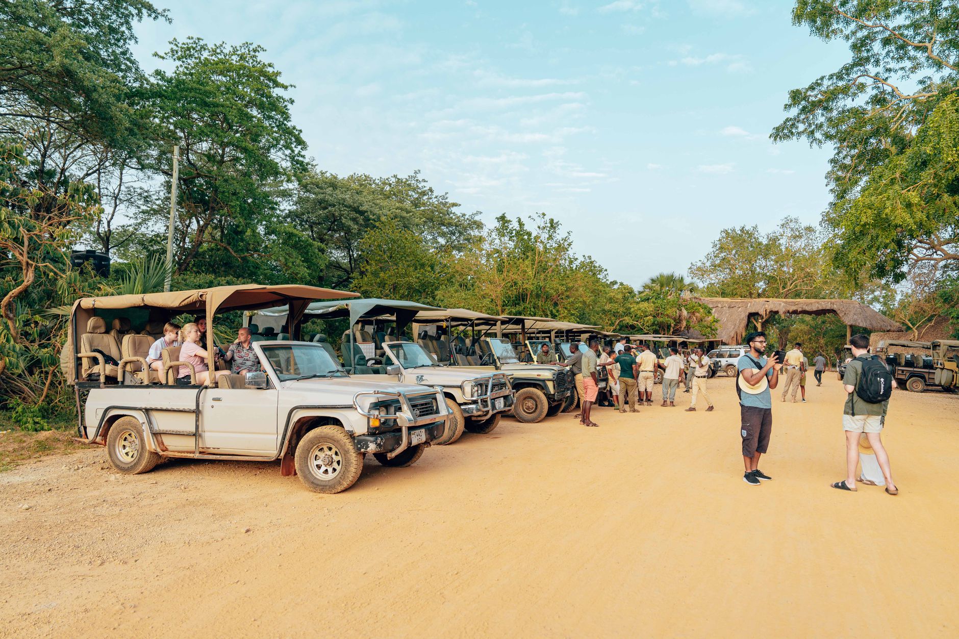

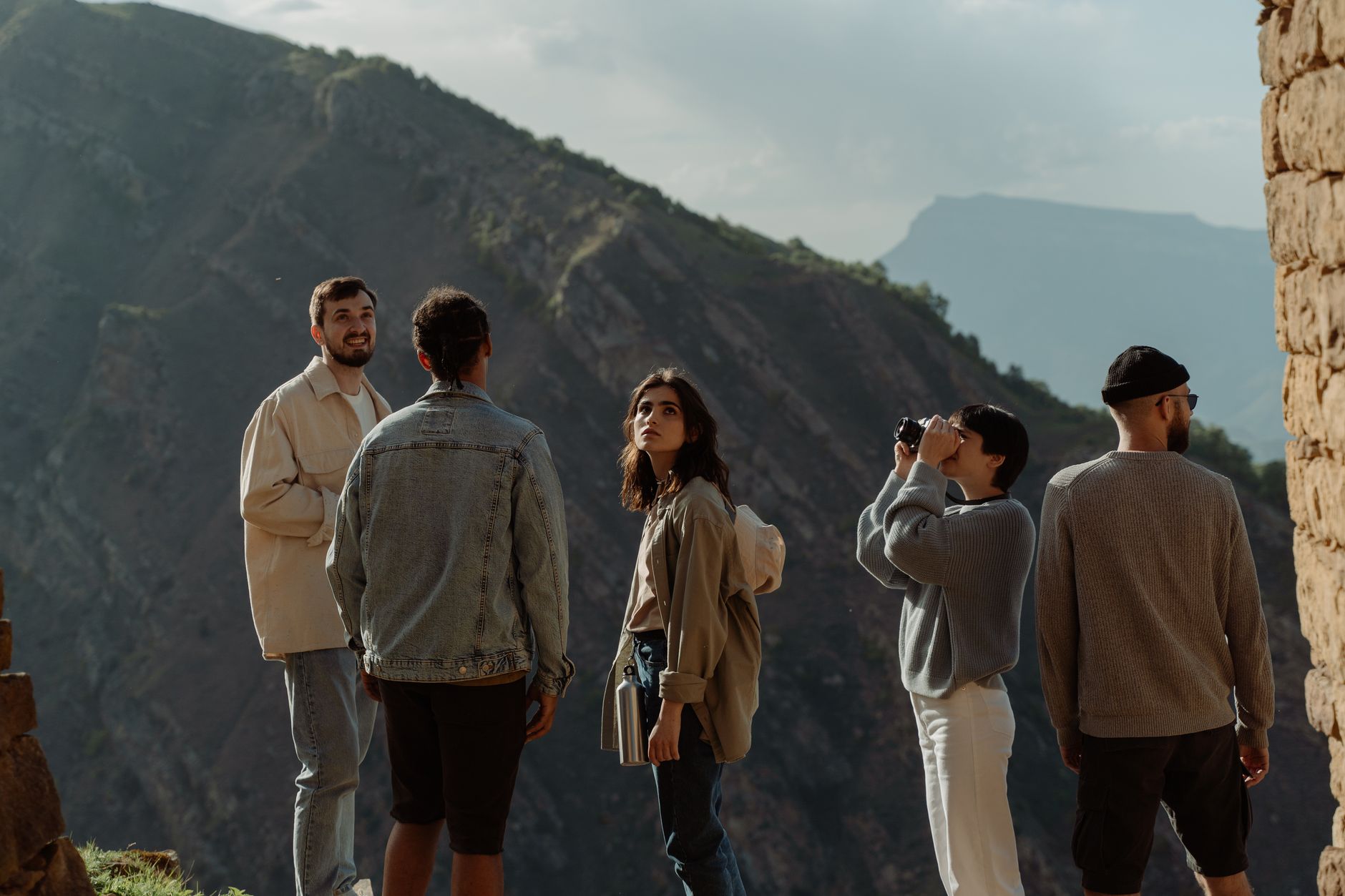
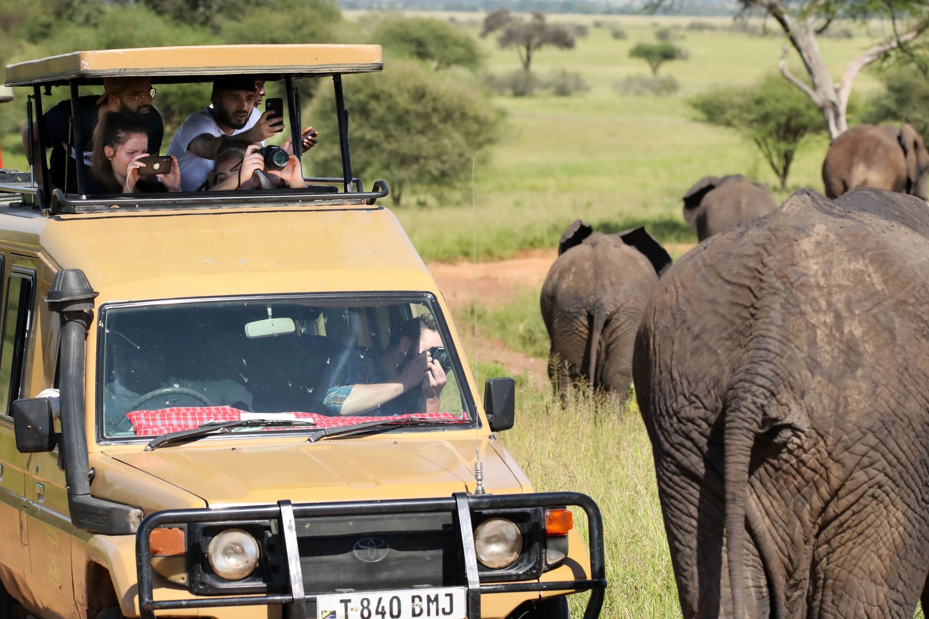
Longido sits at the foot of its namesake mountain, a 2,637-metre peak that dominates the skyline the way landmarks in small towns tend to — not as backdrop but as the whole point. The town itself is compact and unhurried, its population just over two thousand, with more than nine in ten residents keeping livestock. The red dust, the cattle, the Maasai presence: these are not incidental details but the texture of daily life here.
The mountain is climbable in a single day from town, though spending a night in a tented camp on the slope gives the ascent a different quality. Below ground, the district holds another distinction: anyolite, a striking green and ruby mineral combination, was first identified here in 1954 at the Mundarara Mine, and the area has been associated with gemstones ever since.
💛 What travellers fall for
People who have made the climb more than once tend to mention the same thing: start before dawn. The path from town is straightforward enough, but the light on the plain below — Kenya to the north, the Arusha highlands to the south — changes fast once the sun is up, and you want to be high when it does.
Deals in Longido
Book directly at the provider


How Longido came to be
The land around Longido has carried Maasai herders since at least the 1830s, when their southward migration from the north finally reached this corner of what is now the Arusha Region. The colonial period left more ambiguous marks: on 3 November 1914, German forces defeated a British Expeditionary Force near here in what is recorded as the Battle of Kilimanjaro, and a WWI memorial once stood on the mountain before the remains were relocated to Dar es Salaam.
Italian prisoners of war during the Second World War quarried stone from the mountain for road construction — the site is now a football ground. One prisoner, Elia Benvenuti from Brescia, left Latin inscriptions on a rock face. Longido itself became the administrative capital of the newly formed Longido District only in 2007, carved out of the larger Monduli District.
Who and what shaped it
People who shaped it
Landmark buildings
See Longido in motion
Plan your visit
On the map
When to go
The district is among Tanzania's driest, with lowland rainfall sometimes below 500mm and temperatures that can reach 35°C. Short rains run October to December; long rains from February to April, with February also the warmest month. The clearest, most manageable conditions for climbing are in the dry season, roughly May through September.
Right now
Background & history adapted from Wikipedia (CC BY-SA) · specs from Wikidata (CC0) · weather from Open-Meteo · map data © OpenStreetMap contributors · photos from Wikimedia Commons / Unsplash with per-image credit. No third-party reviews or social posts reproduced.