
Mto wa Mbu


Three-quarters of Mto wa Mbu is banana plantation. That fact alone tells you something: this is a working agricultural town, not a safari staging post dressed up for tourists. Red onions leave on trucks, bananas leave on motorbikes, and the air along the main strip carries woodsmoke and the faint sweetness of fermenting millet. The name translates plainly from Swahili — River of Mosquitoes — and nobody here is trying to pretty that up.
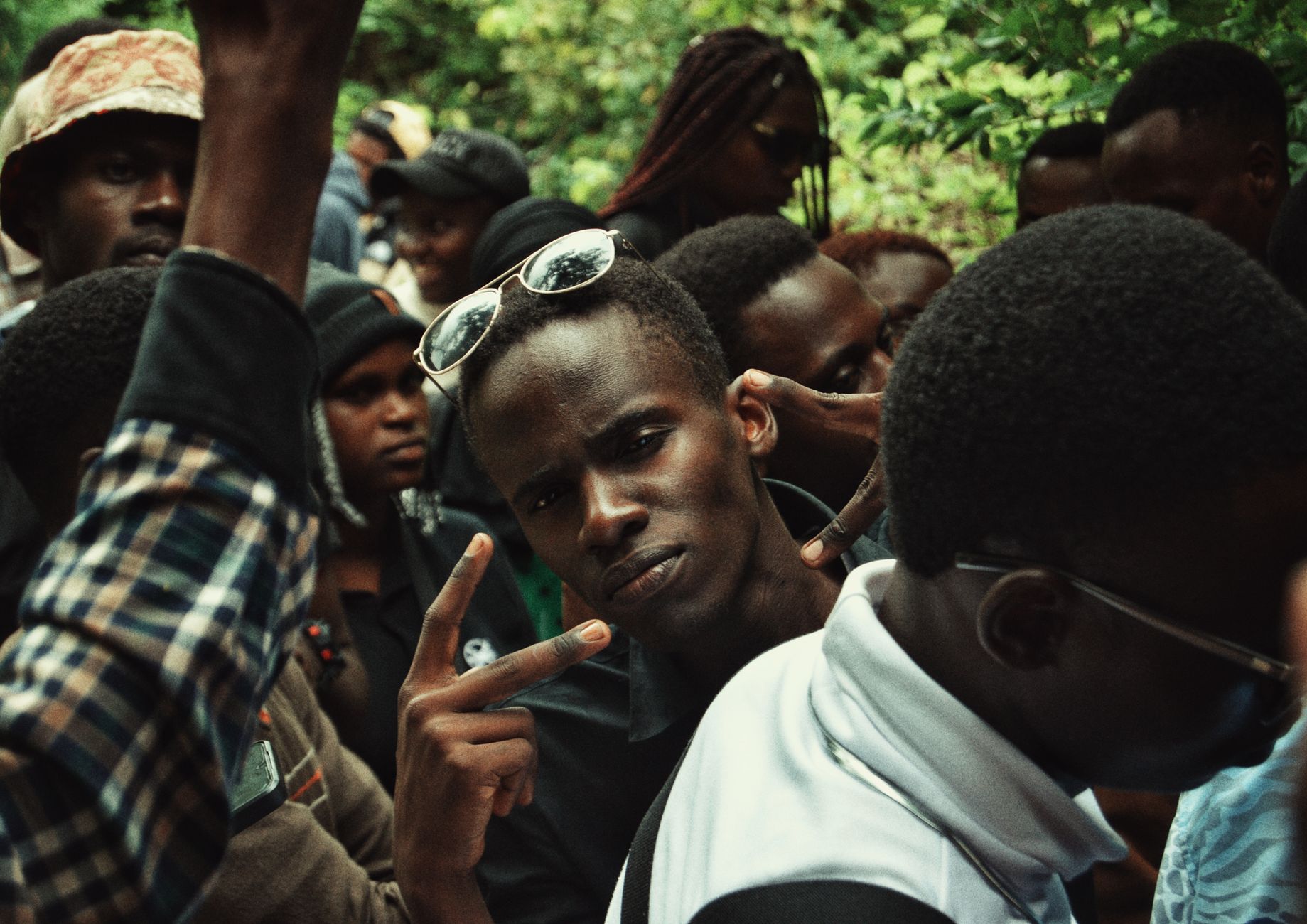
What makes the place genuinely unusual is its people. Around 120 ethnic groups live and trade here: Maasai, Chagga, Makonde, Rangi, and dozens more, plus immigrants from Kenya, Rwanda, and Burundi. In the market you can hear three languages in a single transaction. The town sits at the edge of the Great Rift Valley, 120 kilometres from Arusha, and it has the particular energy of a crossroads that grew into a community.
💛 What travellers fall for
People who come back tend to mention the same things: tracking down mbege — the Chagga banana-and-millet beer brewed locally — at a no-frills bar near the market, and spending an afternoon with a Makonde carver rather than buying from a stall. The walking tour (roughly $12, two to four hours) rewards patience; the tuk-tuk ride through the plantations rewards the opposite.
Deals in Mto wa Mbu
Book directly at the provider


How Mto wa Mbu came to be
Mto wa Mbu grew along a river corridor in the Monduli district of the Arusha Region, its position at the base of the Rift Valley escarpment making it a natural gathering point for communities moving across northern Tanzania. No single founding date or figure is recorded, but the town's demographic complexity speaks to a long history of migration and trade — groups arriving from across the country and beyond its borders, each bringing a language, a craft, a crop.
The baobabs that stand near Miwaleni Lake are estimated at two thousand years old, which puts them here long before any of the town's current communities. The ancient trees and the river are the only constants; everything else — the ethnic mix, the banana economy, the Maasai market — has accumulated over generations of movement.
Who and what shaped it
Landmark buildings
See Mto wa Mbu in motion
Plan your visit
On the map
When to go
The dry season from June to October brings cooler, less humid days and is the most comfortable time for trekking and outdoor activities. January and February sit in the wet season but offer relatively stable warmth around 22°C — the landscape is green and the plantations are at their most productive.
Right now
Background & history adapted from Wikipedia (CC BY-SA) · specs from Wikidata (CC0) · weather from Open-Meteo · map data © OpenStreetMap contributors · photos from Wikimedia Commons / Unsplash with per-image credit. No third-party reviews or social posts reproduced.