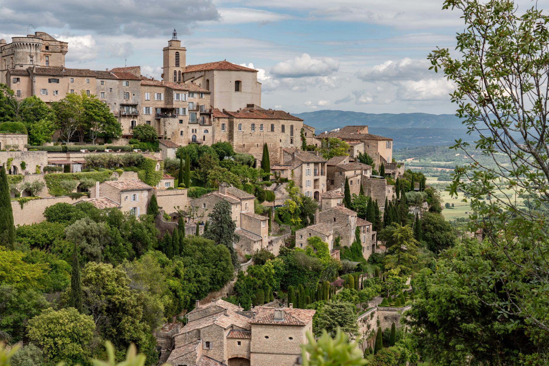
Côte des Deux Amants Viewpoint (above the Seine Valley)
Drive or cycle 8 km north-east of Giverny to the plateau edge above the confluence of the Seine and Andelle rivers and you'll find one of the most sweeping, least-photographed panoramas in the entire Île-de-France region. On a clear day the river loops below you like hammered silver.

The View and the Legend
The Côte des Deux Amants — Hill of the Two Lovers — takes its name from a medieval legend of two ill-fated lovers who leapt from the cliff together. The drama of the story suits the drama of the landscape: a sheer chalk escarpment dropping to the wide Seine floodplain, with the river bending in great ox-bow curves through poplar-lined meadows.
From the orientation table at the summit you can pick out Vernon's medieval bridge, the Forêt de Bord on the far bank and, on very clear mornings, the faint silhouette of the Normandy hills rolling west. Sunrise here in summer is extraordinary.
Getting There and the Walk
From Giverny, the most scenic approach is to cycle the flat Seine-side path north to Port-Mort, then climb the switchback road to the plateau — about 45 minutes of moderate effort. By car, follow the D913 from Vernon to the car park at the summit, a 10-minute drive.
A short marked trail loops along the cliff edge through scrubby oak woodland, taking about 30 minutes at a gentle pace. Bring water; there are no facilities at the top.
Best Time to Visit
Late afternoon in summer bathes the valley in golden light that makes the Seine look like liquid bronze — ideal for photography. Spring mornings often fill the valley with mist that the plateau floats above like an island, a genuinely magical effect.
The site is free, always open and almost always uncrowded even when Giverny itself is heaving with tour buses. It rewards the small extra effort handsomely.
More of Giverny
Discover where to stay, what to do and the best deals for your trip.
Explore Giverny →