
Stonehenge and Wiltshire
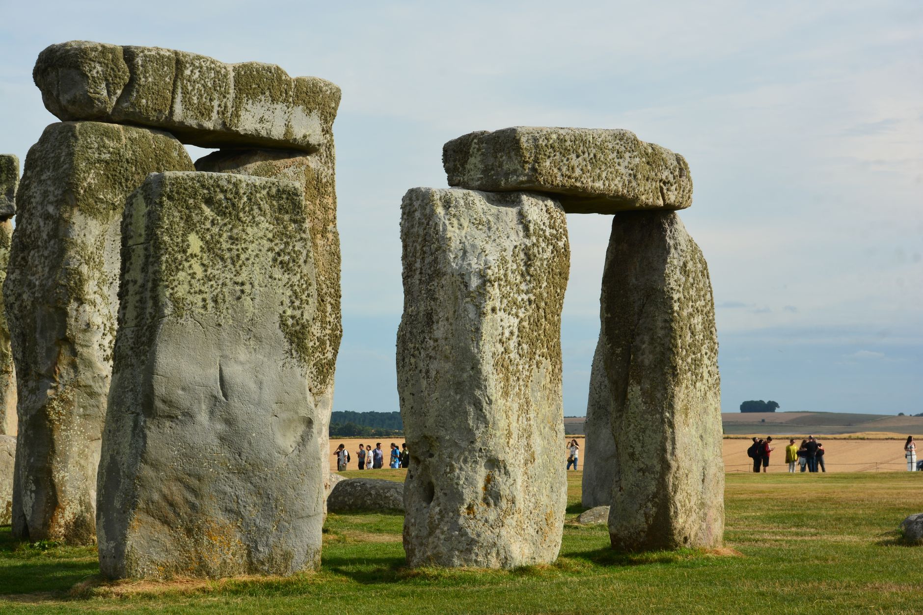

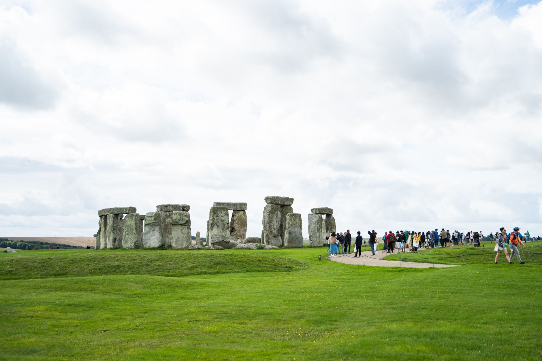
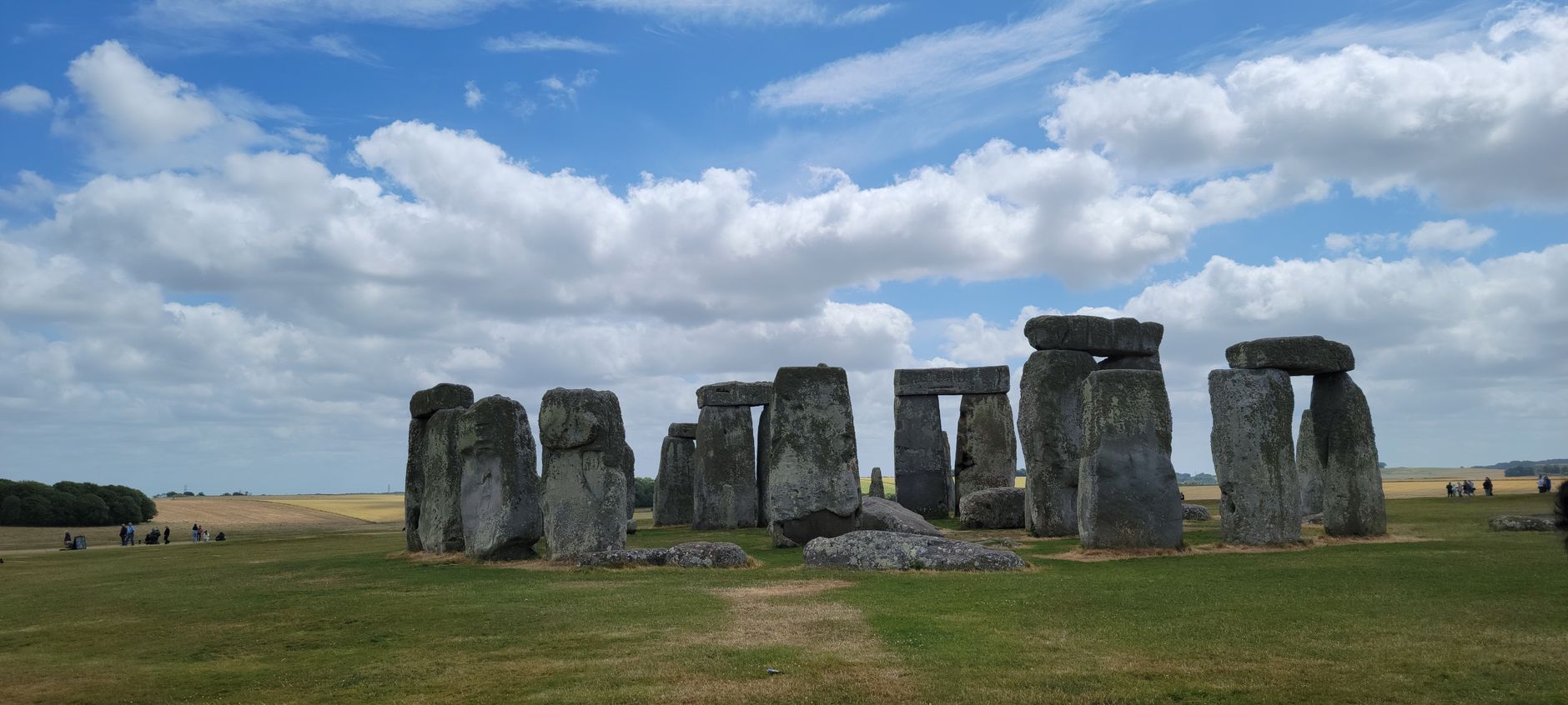
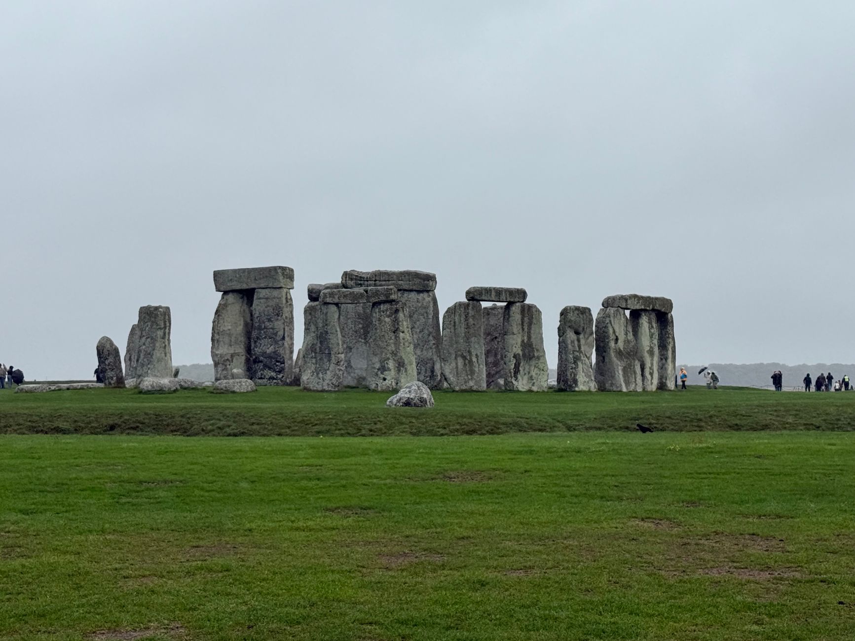
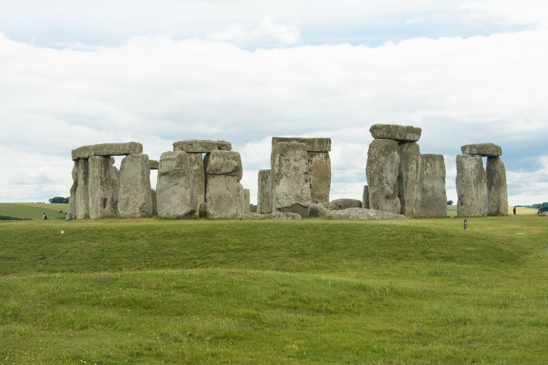
The stones have been standing on Salisbury Plain for around five thousand years, and they still stop people mid-sentence. Stonehenge is the obvious anchor of Wiltshire, but the region around it turns out to be one of the densest concentrations of prehistoric landscape in Europe — Avebury's ring of 180 stones sits fourteen times larger than Stonehenge a few miles north, Silbury Hill rises from flat chalk like a question no one has answered, and West Kennet Long Barrow predates them all.
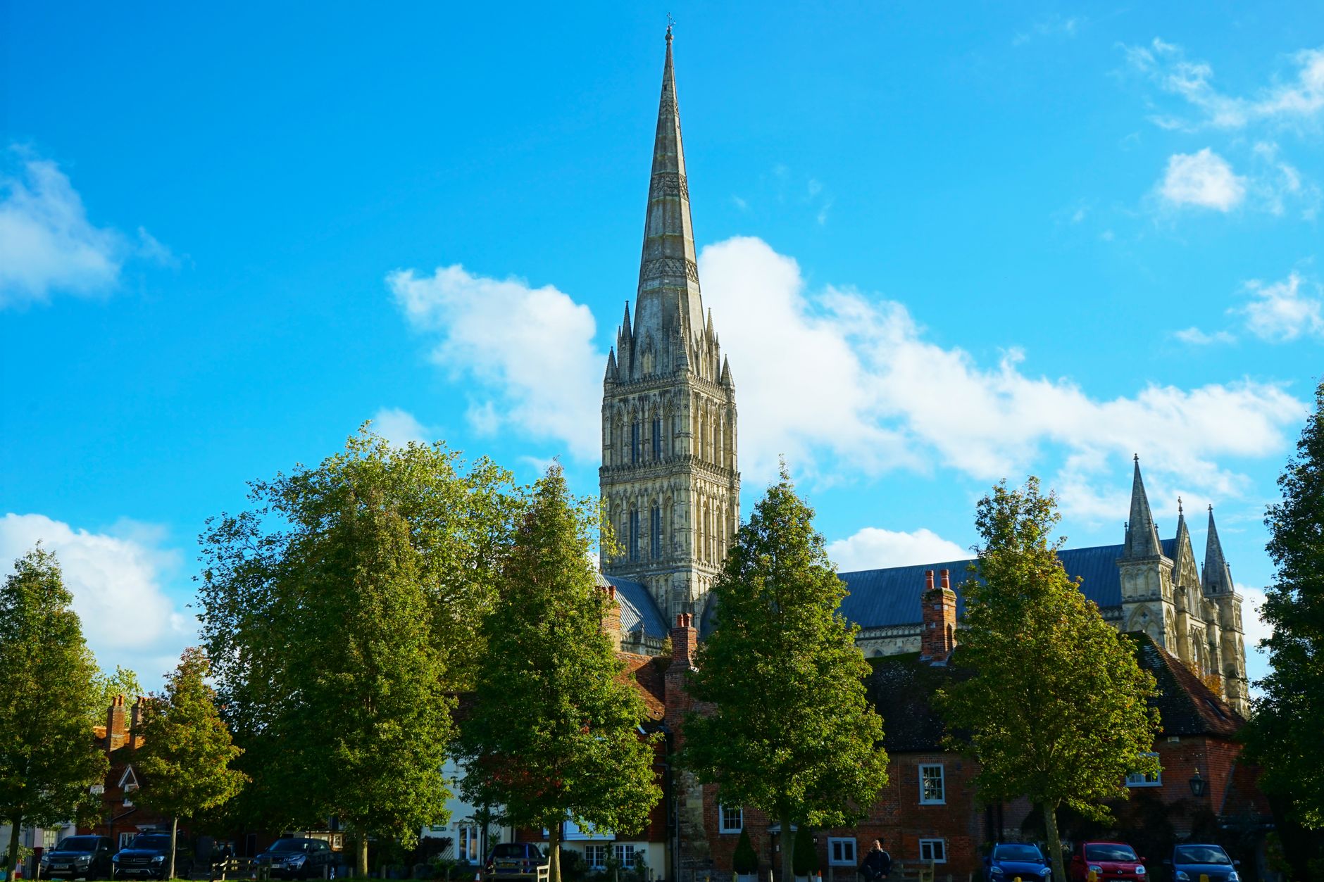
Wiltshire repays slow travel. The monuments are spread across open downland, often within walking distance of each other, and Salisbury — with its Gothic cathedral and the best-preserved 1215 Magna Carta — anchors the southern edge of the region.
Popular cities in Stonehenge and Wiltshire
How Stonehenge and Wiltshire came to be
The site beneath Stonehenge was already in use around 8000 BC, when Mesolithic people raised large pine posts in the earth. The circular bank and ditch that define the monument's basic shape were dug around 3000 BC — a date pushed back five centuries by radiocarbon analysis of cremated remains. Those remains, excavated by William Hawley in 1920 and re-examined by Mike Parker Pearson's team in 2013, represent at least 63 individuals, roughly equal numbers of men and women, buried here over five hundred years.
The sarsen stones — silicified sandstone hauled from the Marlborough Downs, fifteen miles away — and the bluestones, brought more than 150 miles from the Preseli Hills in Wales, were raised between 2600 and 2400 BC. The axis of the central stones aligns with midsummer sunrise and midwinter sunset. Flinders Petrie made the first accurate plan of the stones between 1874 and 1877; Charles Darwin dug two holes on site in 1877, investigating earthworms.
Who and what shaped it
People who shaped it
Landmark buildings
See Stonehenge and Wiltshire in motion
Plan your visit
On the map
When to go
Salisbury Plain is exposed and can be cold even in summer — pack a layer regardless of the forecast. Spring and early autumn offer the most comfortable conditions; winter visits are quieter and the low light on the stones has its own quality, though closing time comes early.
Right now
↡ Cities






Background & history adapted from Wikipedia (CC BY-SA) · specs from Wikidata (CC0) · weather from Open-Meteo · map data © OpenStreetMap contributors · photos from Wikimedia Commons / Unsplash with per-image credit. No third-party reviews or social posts reproduced.