
Sentiero degli Dei access point (Cetara section)
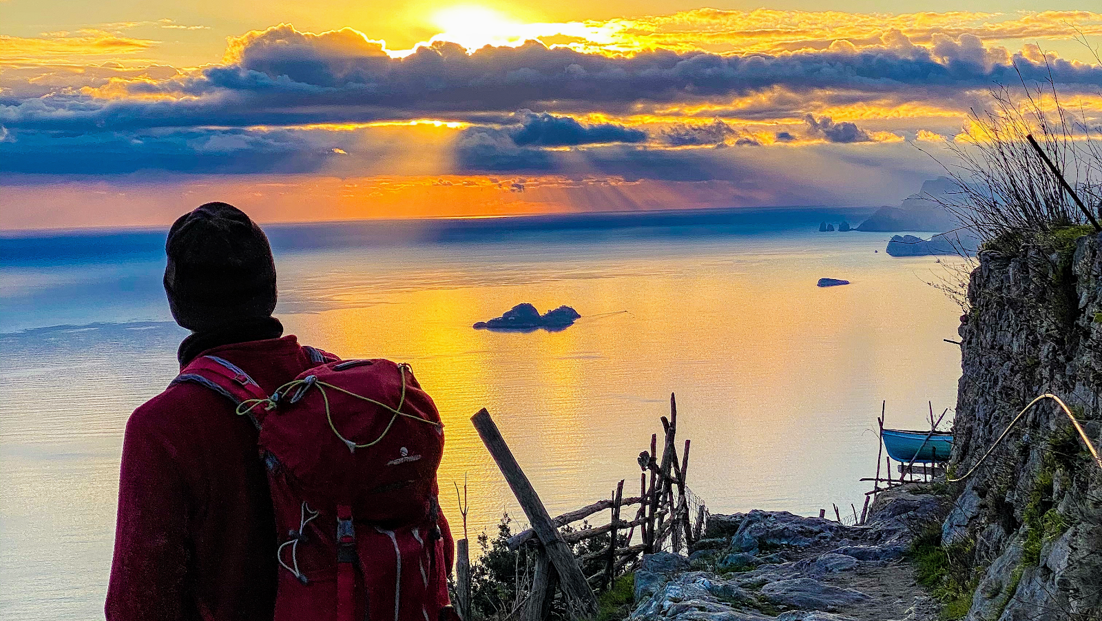
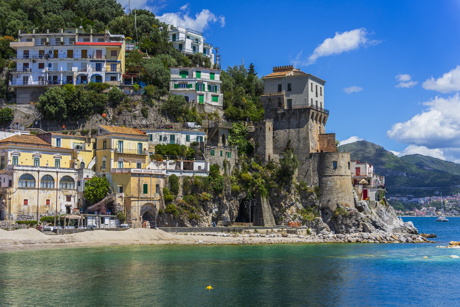
The Sentiero degli Dei — the Path of the Gods — doesn't begin in Cetara, but Cetara is one way in. From this small fishing village, a ferry and shuttle combination lifts you out of the anchovy-scented harbour and up toward a trail that once served a far more urgent purpose than tourism: it was the only thread connecting coastal villages to each other, and the quickest route inland when pirates appeared on the water below.
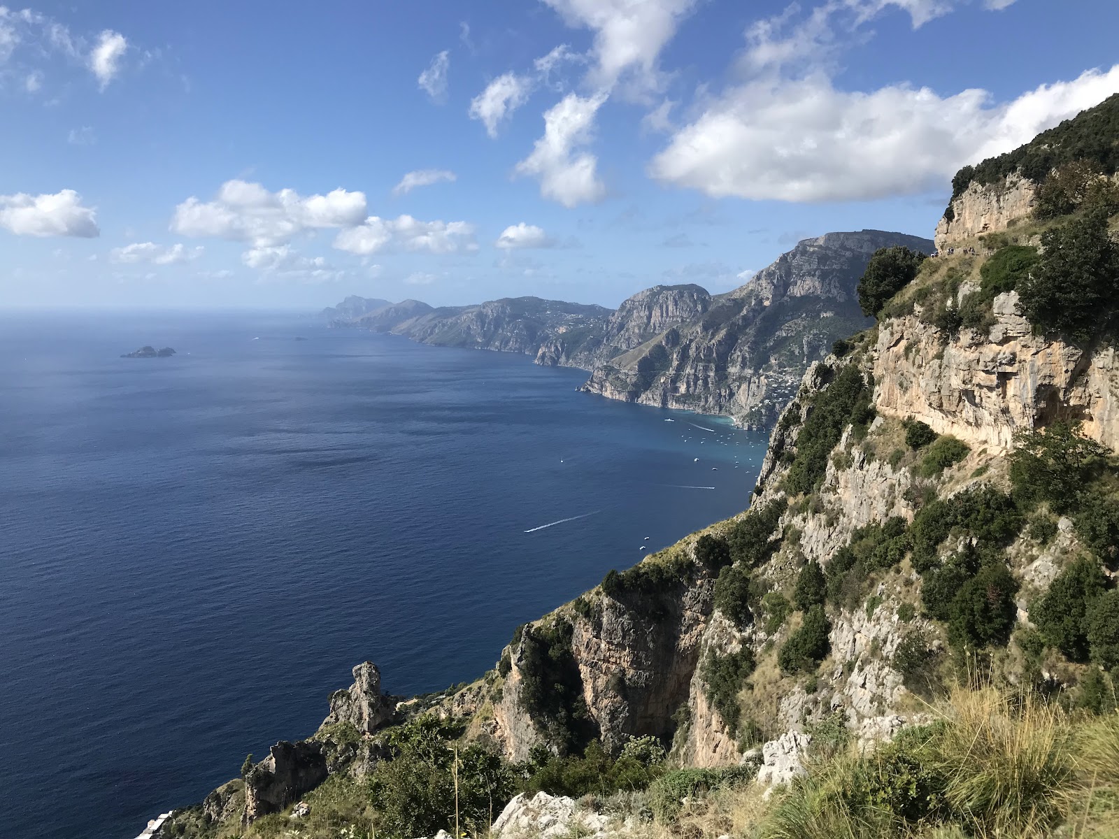
The trail runs 10.7 kilometres, marked throughout by red and white signs reading '02', crossing a Mediterranean scrub of holm-oak, arbutus, heather and rosemary, with sheep grazing on terraces that Roman-era settlers carved from the forest centuries before anyone thought to name them fields.
💛 What travellers fall for
People who've done it more than once tend to start from Bomerano rather than finish there — walking downhill toward Nocelle, stopping at the kiosk in Nocelle's piazza for a frozen lemon granita from Lemon Point before the descent continues. The springs of drinkable water along the route are real and reliable; fill up before the exposed sections.
The story behind Sentiero degli Dei access point (Cetara section)
Long before it carried hikers, this path was infrastructure. The coastal villages of the Amalfi Coast had no road connecting them to the interior until well into the modern era; the Sentiero degli Dei was the route people actually used — to trade, to communicate, and to flee into the hills when corsairs came ashore.
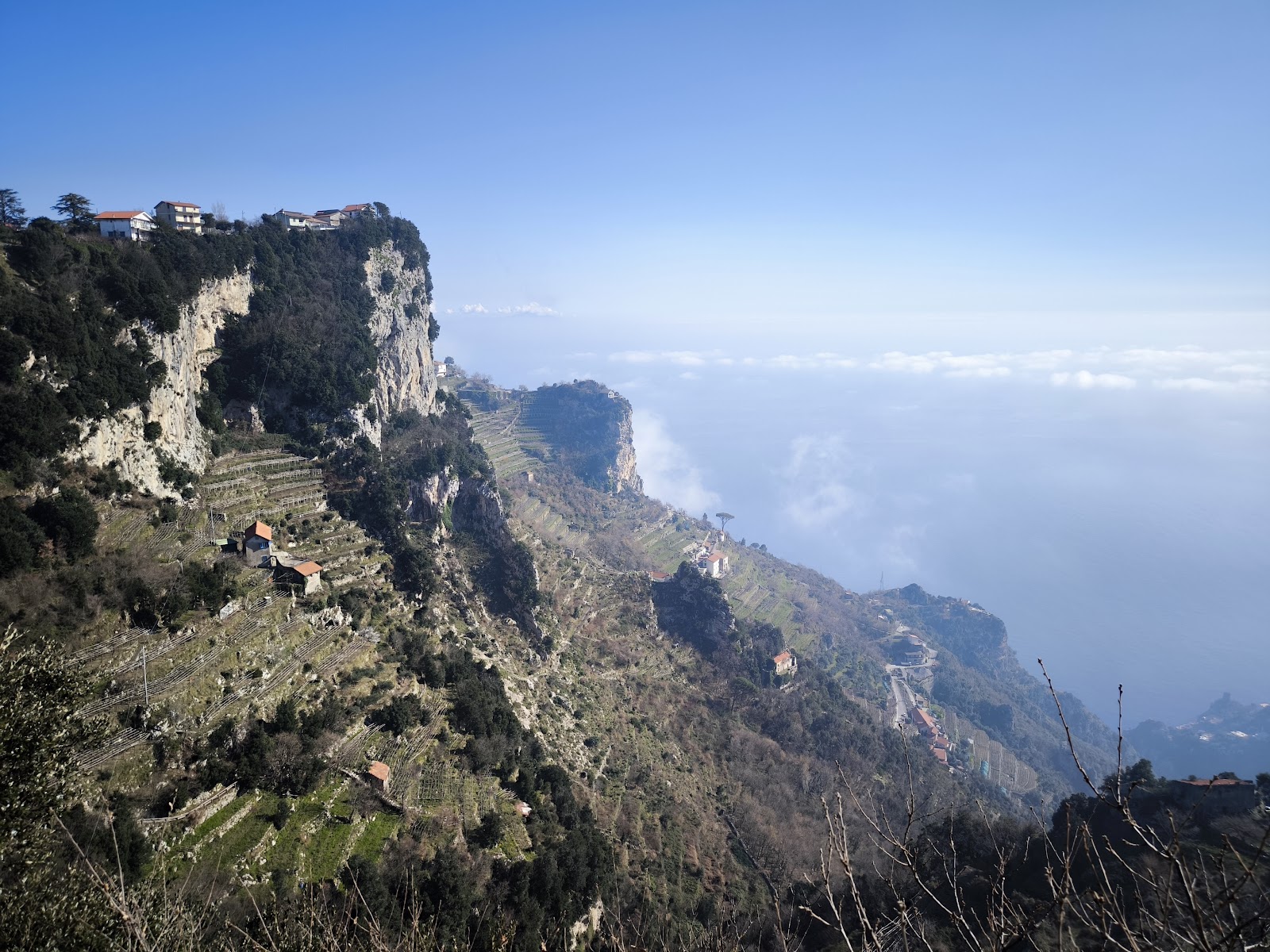
The land it crosses holds older evidence still: archaeologists have recovered Roman amphorae, coins from the early Imperial period, graves and sections of ancient road throughout the area. The name Agerola, the municipality above, comes from the Latin ager — field — a record of how early settlers slowly cleared forest to farm the limestone terraces that now frame every view along the route.
Good to know
From Cetara, reach the trail via the ferry-and-shuttle combination or by taking bus #5120 toward Amalfi and connecting to a SITA bus up to Agerola. The main trailhead is Piazza Paolo Capasso in Bomerano. Free entry; allow around four hours. The trail closes during wildfire risk or after landslides — check locally before setting out.
April, May, September and October offer the most comfortable walking: mild temperatures, low rainfall and clear sightlines across the water. Summer heat is serious — August averages peak around 28°C and the exposed ridge offers little shade at midday. November and December bring heavy rain, and occasional landslides that prompt temporary closures.
Where is Sentiero degli Dei access point (Cetara section)?
More tickets & tours for Sentiero degli Dei access point (Cetara section)
Book directly at the provider
What travellers say about Sentiero degli Dei access point (Cetara section)
Absolutely stunning views!!! Went there at around noon, started at Bomerano, and ended in Nocelle, which is where the hike officially ends, then I walked to Positano. It was mostly downhill, and took me about 2h 40 mins at a leisurely pace and stopping to take lots of photos. I am quite an inexperienced hiker, and not very athletic, but if I tried harder, I could easily get it under 2 hours. However, it can very for everybody, with most people taking 3-6 hours to complete based on which direction they’re going. I felt that the most challenging part of the hike was not even the official hike itself, but it was the steps from Nocelle down to Positano, which are thousands of steps. It started off fine, but really got more difficult as it progressed. My soles were a bit sore after. From Nocelle to Positano it took an hour.”, bringing the total to around 4 hours. Definitely bring a good pair of shoes, bring some food, and at least 1-2 litres of water. Also research well on how to get there. It was so worth it!!!
Such beautiful scenery. Quicker than we thought. Started at Bomerano, walked to Nocelle and then down the steps to Positano. However we needed to walk the road the rest of the way so thinking maybe we took a wrong turn as it did appear there was a higher route from Nocelle to Positano.
The hike is very easy but extremely scenic! You will walk the whole track accompanied by breathtaking views of the coast. It starts in Bomerano village from the town's square. There are plenty of signs and you won't get lost. The square is also a good spot to prepare for the hike. You can have take sway panini made at a local shop and have breakfast at one of the many caffes there. Let you need any additional gear, there's a specialized shop as well with shoes, hiking poles, hats, bags, etc. The entire hike is about 4 to 5 hours long. You will cross the Nocelle village where you can stop for a refreshment before the 1400+ steps descent beack to the sea level. Ah, about that. I strongly recommend doing this track on the Bomerano -> Positano direction. The opposite way is nothing but suffering.
Planned to take the train from Bomerano to Nocelle, however we made a last minute decision to take the stairs down to Positano and skip Nocelle. The walk down to the Positano level from the official trail took about 25 min - shorter than expected. It was another 35 min to get to the main Positano area after getting down to the bottom. Did the trail on an overcast day which prevented us from taking in the views fully.
Great hike! Wonderful views! A bit crowded though. Definitely a more touristy hike but still wonderful! It took me and my spouse 2hr to complete the hike down to Positano.
More of Cetara
Discover where to stay, what to do and the best deals for your trip.
Explore Cetara →More attractions in Cetara
All of Cetara →
Background adapted from Wikipedia (CC BY-SA) · map data © OpenStreetMap contributors · ratings & place photos via Google · other photos with per-image credit. Ticket links may earn us a commission at no extra cost to you.