
Santorini, Cyclades, Greece
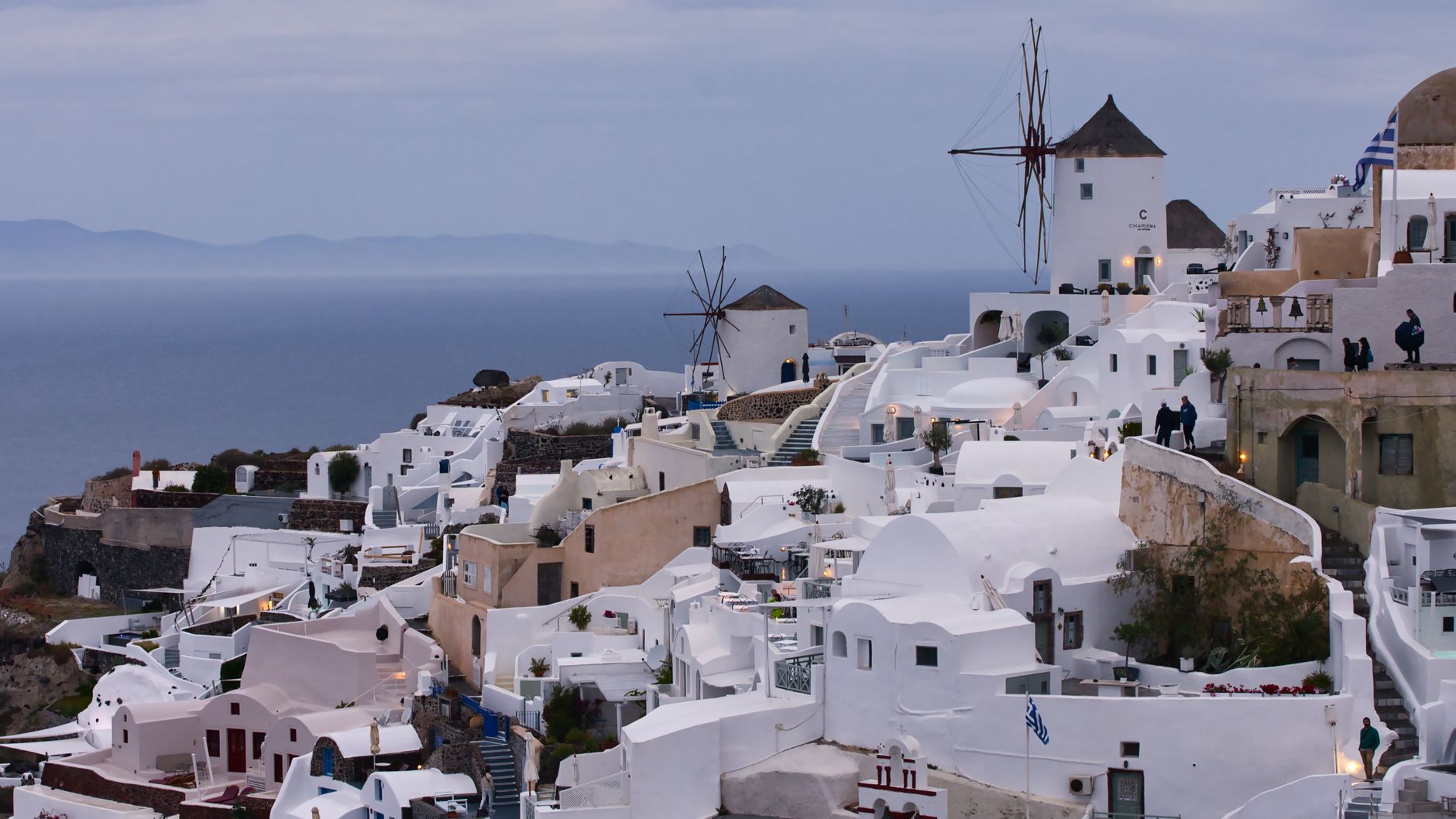
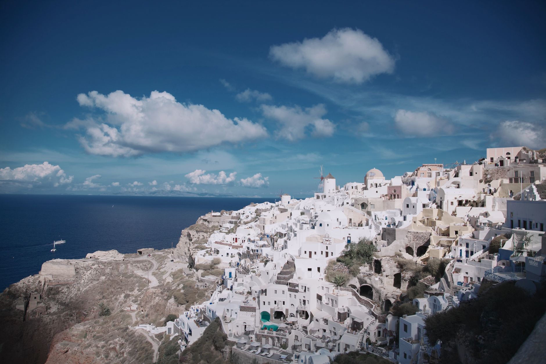
The thing people don't mention about Santorini is the silence inside the caldera at dawn, before the cruise ships anchor and the donkeys start their shifts. What you're looking at is the flooded throat of a volcano that, around 1613 BC, blew itself apart with enough force to bury an entire Bronze Age city under metres of ash. The island's famous crescent shape is the scar.
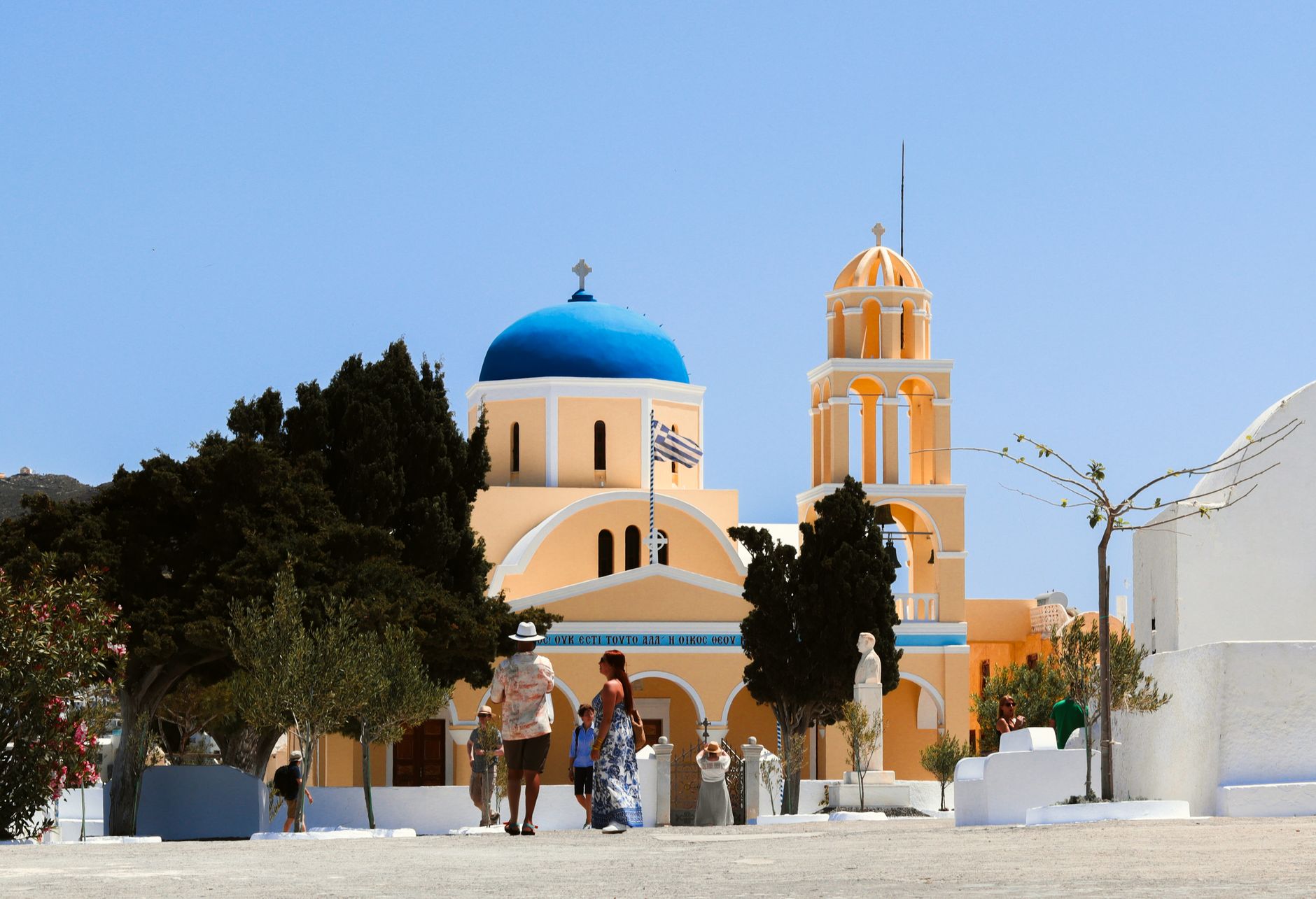
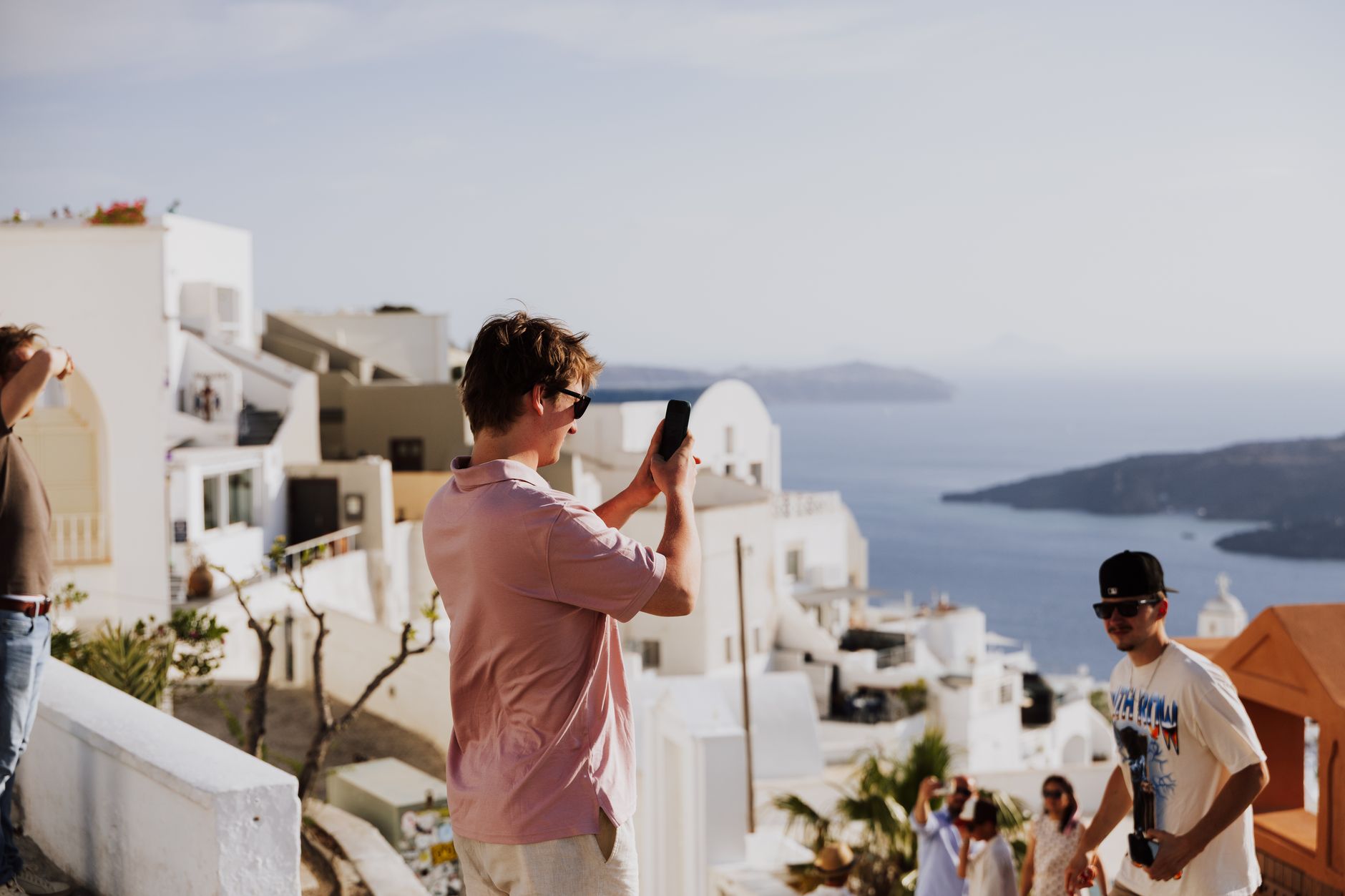
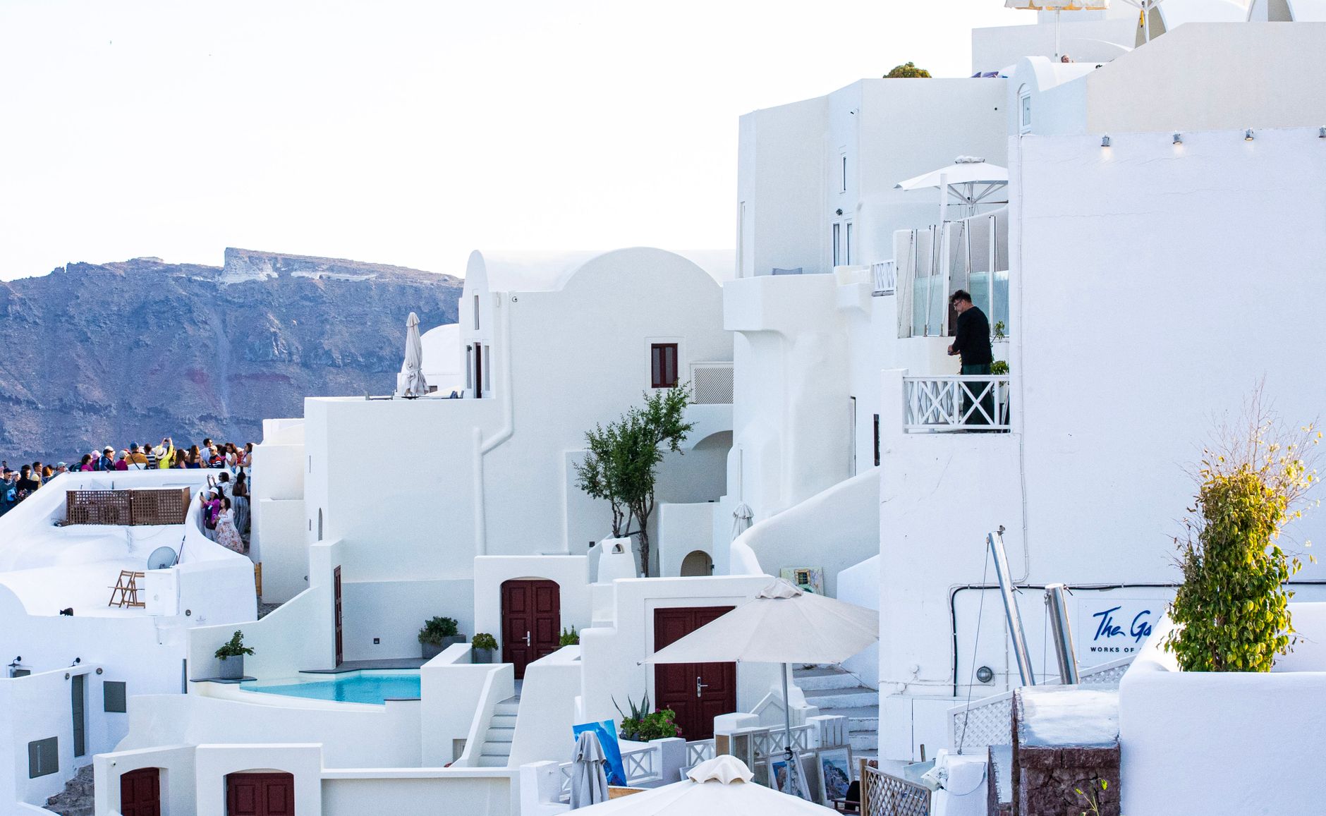
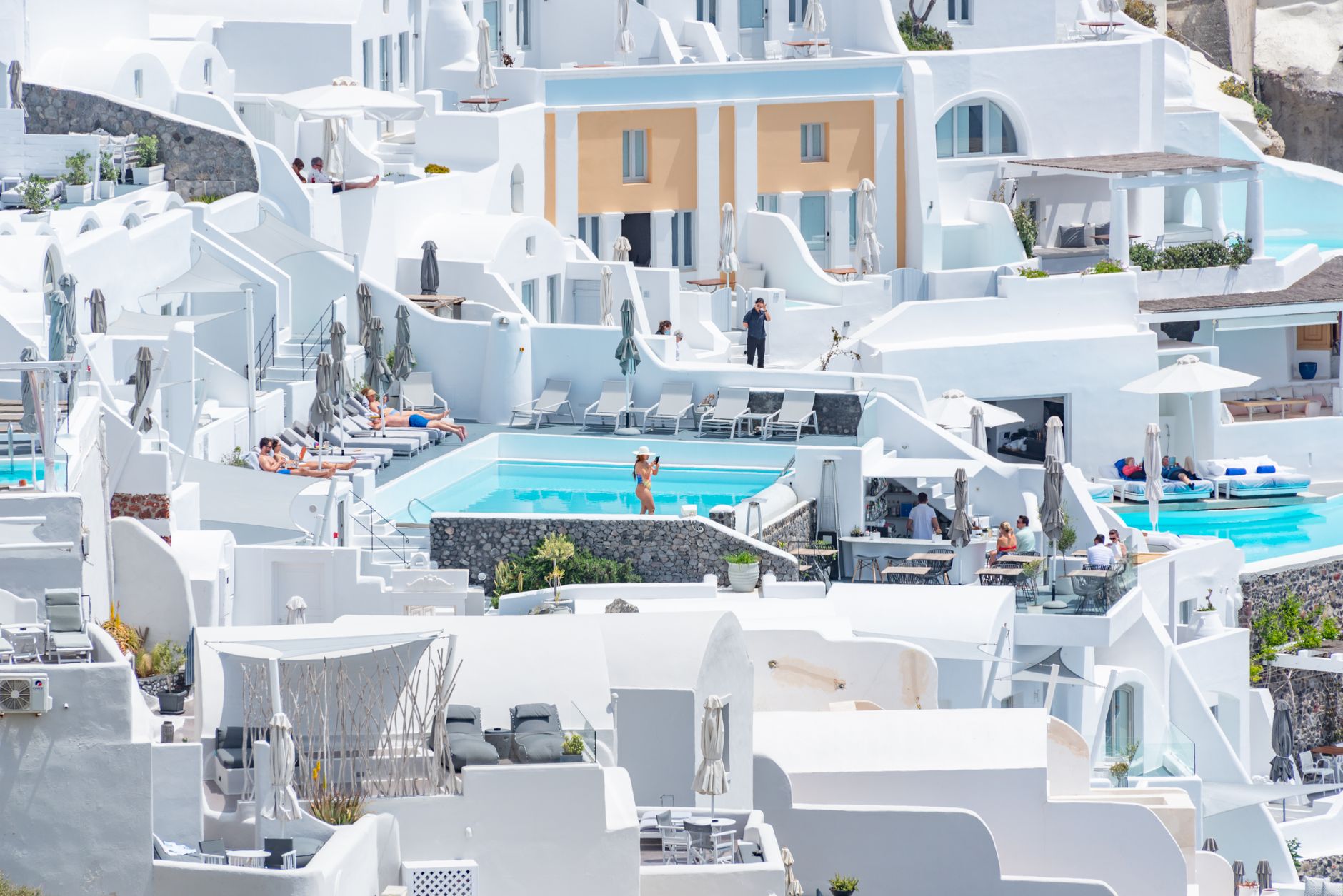
The whitewashed villages stacked along the caldera rim — Fira, Imerovigli, Oia — are a relatively recent layer on top of a very long story. Beneath them, at Akrotiri on the southern tip, excavators have been carefully lifting the ash since 1967 to reveal two- and three-storey houses, painted frescoes, and drainage systems from a civilisation that vanished overnight.
Popular cities in Santorini, Cyclades, Greece
How Santorini, Cyclades, Greece came to be
The island's original name, Strogili — meaning circular — tells you what it looked like before the eruption of roughly 1613 BC reshaped everything. That event, rated a 7 on the Volcanic Explosivity Index, ejected up to 41 cubic kilometres of rock and caused the centre of the island to collapse into the sea. The trading town of Akrotiri, buried under the ash, was so well preserved that its multi-storey buildings and sophisticated drainage systems survived nearly intact until archaeologists reached them in the late 19th century, with systematic excavations resuming after 1967.
Dorian settlers founded Ancient Thera on the slopes of Mesa Vouno around the 9th century BC. Roman occupation followed from the 2nd century BC through 476 AD, and the island eventually passed through Ottoman control until 1832, when it joined the modern Greek state. A 1956 earthquake destroyed roughly 85 percent of the island's infrastructure and prompted a mass exodus — the tourist era that defines Santorini today only took hold in the 1970s.
Who and what shaped it
Landmark buildings
See Santorini, Cyclades, Greece in motion
Plan your visit
On the map
When to go
Summers run hot and nearly rainless — July and August sit around 29°C — though the Meltemi wind that arrives from May onward keeps the heat from feeling oppressive and can make sea crossings choppy. Spring (March–May) offers mild days, quieter roads, and temperatures that rarely exceed 22°C; winters are wet, particularly January, with cool but not cold days in the mid-teens.
Right now
↡ Cities
Background & history adapted from Wikipedia (CC BY-SA) · specs from Wikidata (CC0) · weather from Open-Meteo · map data © OpenStreetMap contributors · photos from Wikimedia Commons / Unsplash with per-image credit. No third-party reviews or social posts reproduced.