
Karterados
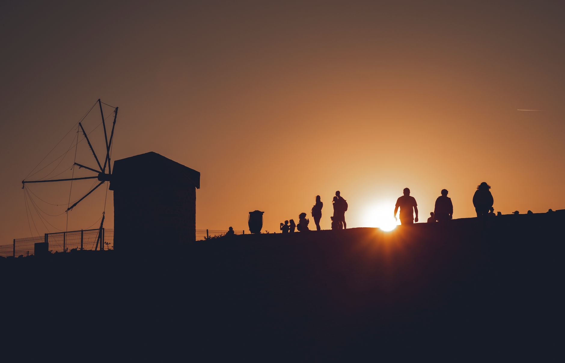
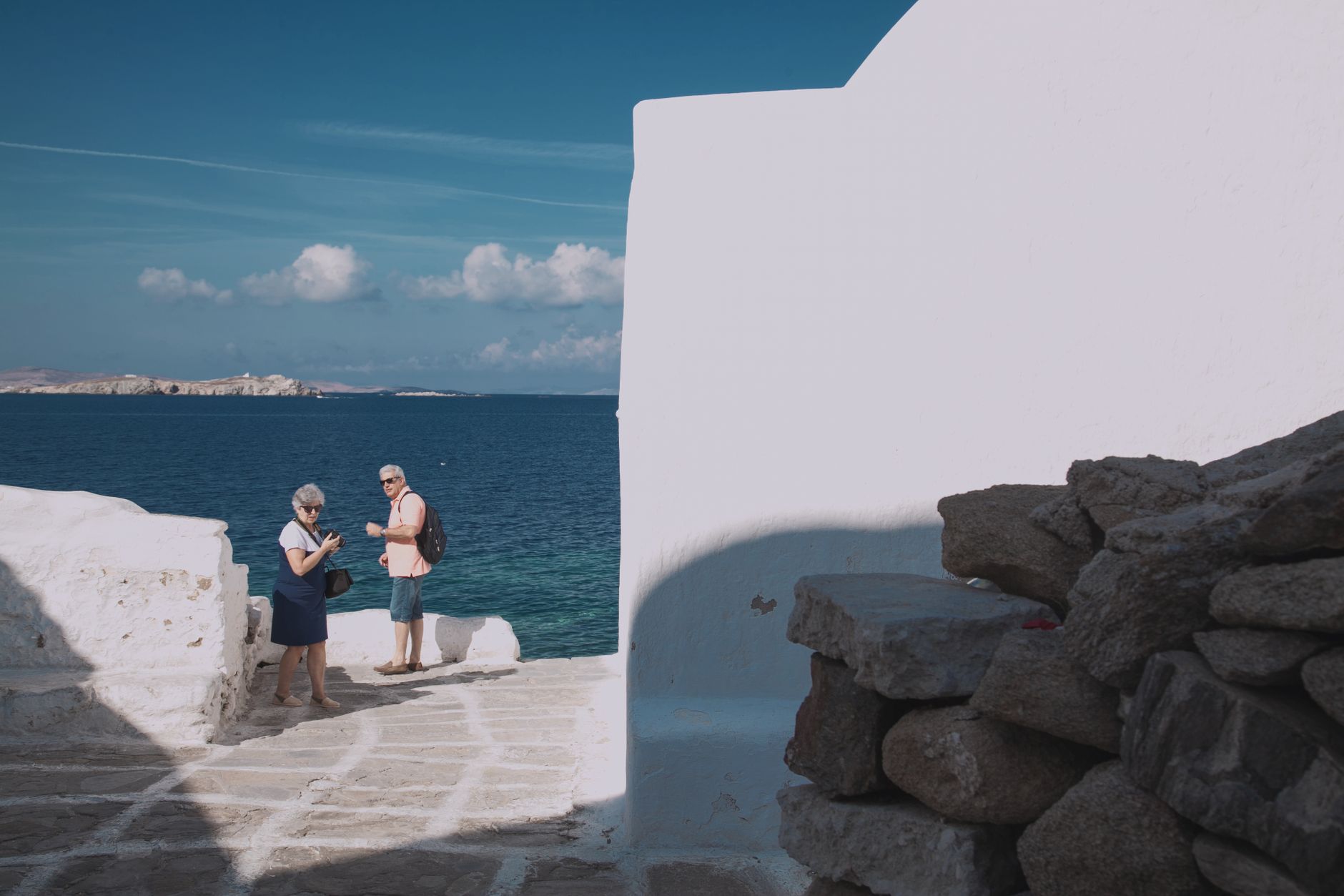
Karterados sits in a ravine two kilometres south of Fira, close enough that you can walk there in fifteen minutes but far enough to feel like somewhere else entirely. The village looks inward — toward cobbled alleys cut into rock, captain's mansions with thick walls, and a central square where a windmill stands beside a World War II memorial plaque. The blue dome of the Church of the Ascension catches the light above it all.
This is one of the places where Santorini's working life has always carried on: shops open year-round, a bakery on the main road called Erotokritos that locals will mention before almost anything else, and vineyards visible across the eastern valley below.
💛 What travellers fall for
People who come back tend to start mornings at Erotokritos before the day heats up, then take the ravine alleys toward the Steps of Galaios — the neighbourhood of cave houses built directly into the rock face. The bus to Akrotiri stops here once an hour if you'd rather not walk back up to Fira.
Deals in Karterados
Book directly at the provider
How Karterados came to be
The name Karterados likely derives from the Greek word for ambush — a reminder that the eastern Aegean was pirate territory, and settlements here were built with that threat in mind. The village dates to the seventeenth century, but its defining era came in the nineteenth, when it grew into one of the largest captains' villages on the island. Wealthy shipowners who traded by frigate to Russia, Malta and Egypt built the substantial mansions that still line the upper lanes.
The 1956 earthquake destroyed many of those houses. Some were restored; others left their footprints in the rock. The legend attached to the chapel of Panagia Kokkini — that its mortar was mixed with red wine rather than water — belongs to the same era of seafarers who had wine to spare and reasons to build churches.
Who and what shaped it
Landmark buildings
See Karterados in motion
Plan your visit
On the map
When to go
April and May are mild and nearly rain-free, with temperatures climbing from around 19°C to 22°C — good walking weather before the summer crowds arrive. July and August are hot and sunny but the meltemi wind is a constant presence; September eases back to 25°C and the wind settles, making it arguably the most comfortable month to visit.
Right now
Background & history adapted from Wikipedia (CC BY-SA) · specs from Wikidata (CC0) · weather from Open-Meteo · map data © OpenStreetMap contributors · photos from Wikimedia Commons / Unsplash with per-image credit. No third-party reviews or social posts reproduced.