
Plaza de Armas de Arequipa
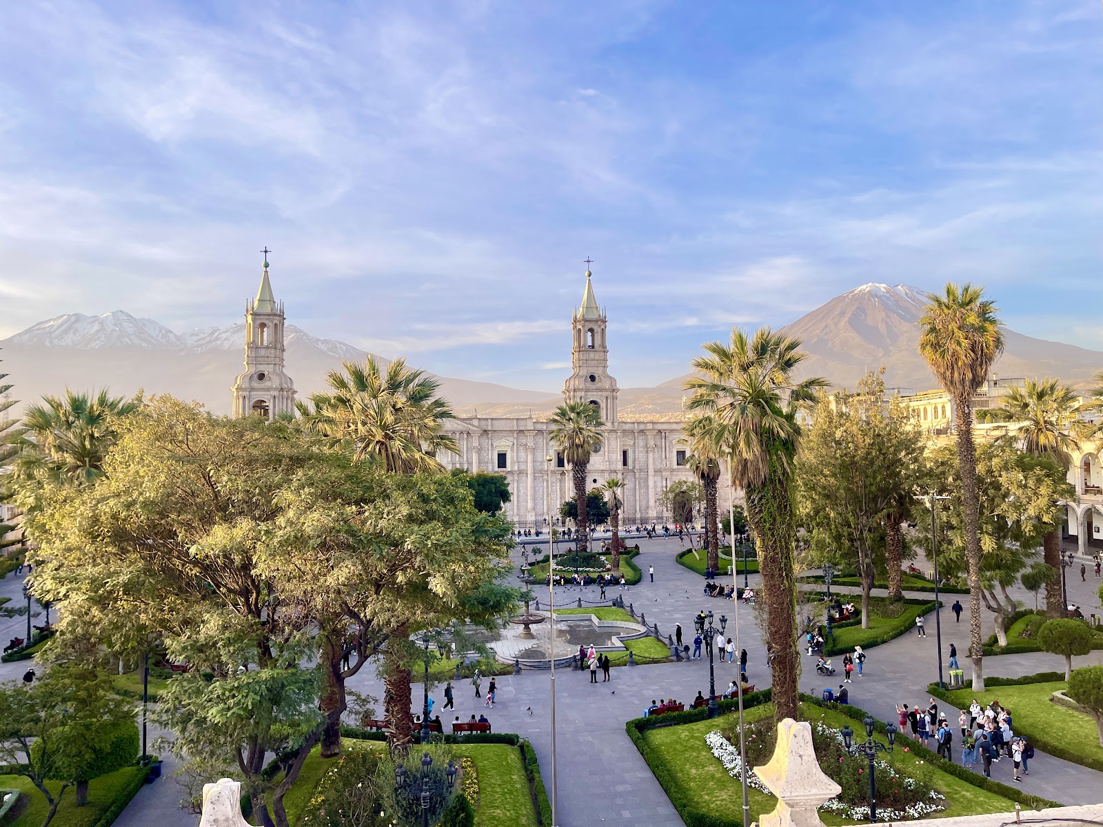
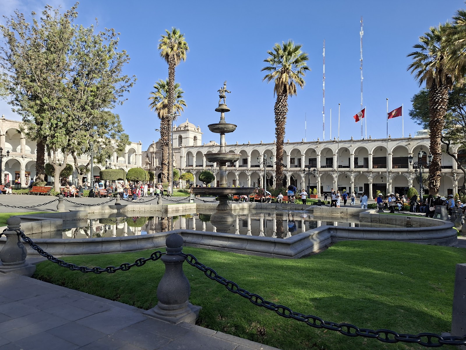
At the center of the plaza stands a small bronze figure holding a trumpet — the Tuturutu, an 18th-century fountain said to represent an Inca messenger who once announced the day's news to the city. It's an oddly intimate thing to find at the heart of such a monumental square. The Cathedral stretches the full length of one side, its seventy Corinthian columns and three portals cut from sillar, the pale volcanic stone quarried from the slopes of the surrounding volcanoes that gives Arequipa its nickname, the White City.
The arcaded portals wrapping three sides of the square — San Agustín, Municipalidad, and Las Flores — now house cafés and restaurants, some with terraces directly facing Volcán Misti. Sit long enough and the light shifts dramatically, the mountain moving from pale backdrop to a sharp silhouette as the afternoon deepens.

💛 What travellers fall for
People who return tend to come twice in one day: early morning, when the square is nearly empty and the Cathedral's facade catches the first direct light, and again just after sunset, when the illuminated stonework turns a warm amber. The terrace restaurants along the portals serve rocoto relleno and shrimp chupe — order the chupe if it's on the menu.
The story behind Plaza de Armas de Arequipa
Garci Manuel de Carbajal founded the city on 15 August 1540, establishing the plaza as its center point in the valley of the Chili River. Charles V elevated the settlement to city status by royal decree on 22 September 1541. Through the colonial era the square served as marketplace, site of religious festivals, official ceremonies, and public executions — the full weight of colonial civic life concentrated in one rectangle of stone.
A grade-9 earthquake in 1868 damaged much of the Cathedral and prompted a deliberate reshaping of the square: the arches were standardized, the Cathedral rebuilt, and merchants relocated out. A second level was added to surrounding buildings in 1915. Further earthquakes in 1958 and 1960 required the arches to be rebuilt again. The 2001 earthquake brought down the Cathedral's left tower; repairs were completed and the square reinaugurated in 2002. In 1972, UNESCO declared the square and Arequipa's historic center Cultural Heritage of the Nation.
Good to know
The square is open around the clock and free to enter; the Cathedral museum costs 10 soles. Dry months from May through October give the clearest days. Early mornings are quiet; evenings draw crowds but also the best light on the Cathedral. Allow two to three hours, more if you're combining with the Monasterio de Santa Catalina de Siena nearby.
The dry season runs April through November and gives you bright, sunny days with temperatures typically between 9°C and 23°C — cold at night, especially in June and July, so bring a layer. January through March brings the rainy season; mornings are often clear but afternoon showers are common.
Where is Plaza de Armas de Arequipa?
More tickets & tours for Plaza de Armas de Arequipa
Book directly at the provider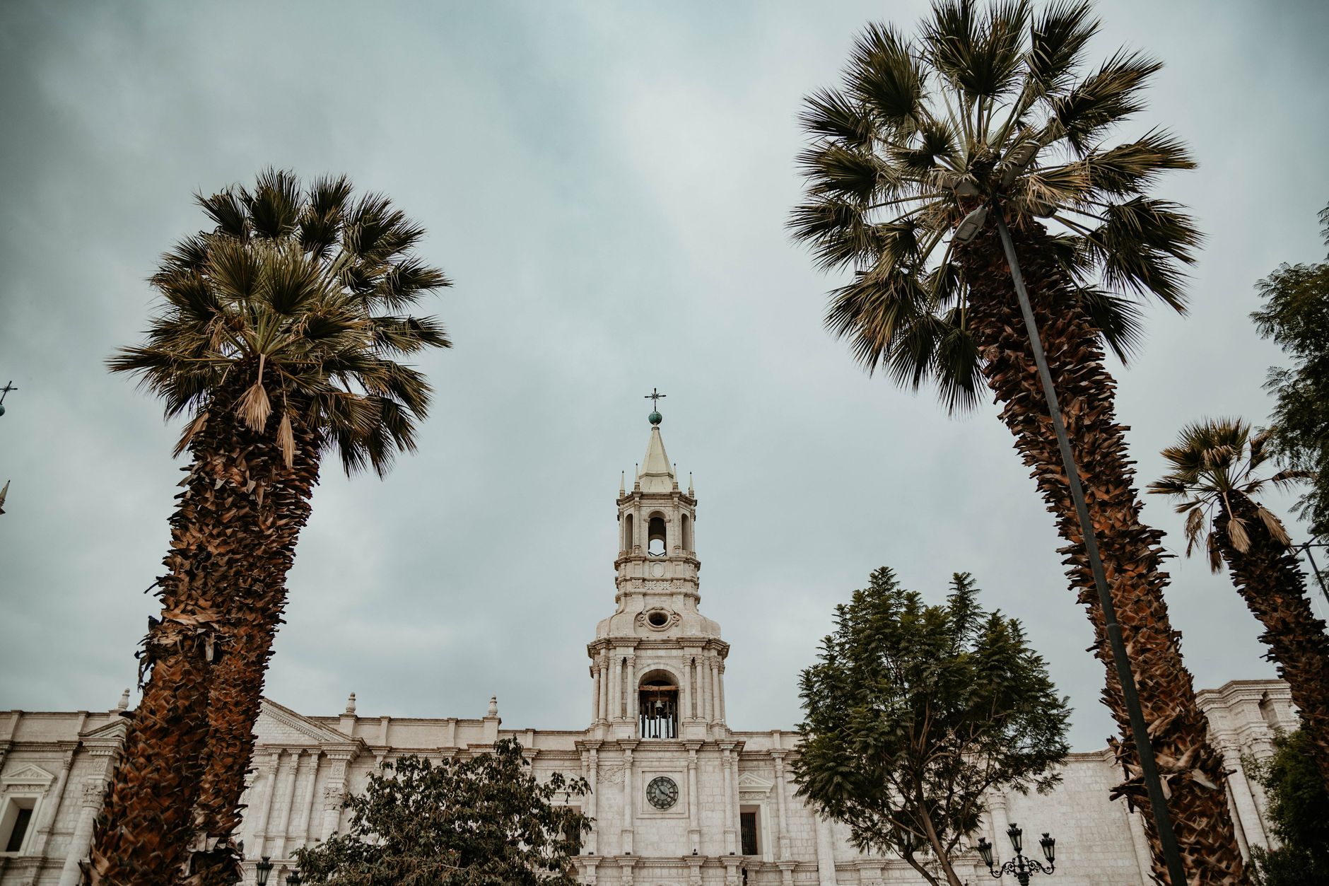
What travellers say about Plaza de Armas de Arequipa
Most beautiful park and plaza in Peru so far! Teeming with locals and tourists, people watching for hours. Access to restaurants, grocery store and catedral! Corpus Christi festival was amazing on June 4, 2026!
The Plaza de Armas in Arequipa, Peru is absolutely beautiful. Such is beautiful space to sit and people watch. Early, middle of the day or at night are all great times to take a stroll and just sit and relax.
The main square for Arequipa really amazing place, really enjoyed looking around and taking a break here each time we passed through during our stay
This is a beautiful city! Much quieter than Cusco and less of a tourist attraction. There a very few dogs which roam around making the city more enjoyable and safe!
Beautiful place. I feel it’s much better than the main square in Lima. It’s also very safe. There are a lot of restaurants nearby. Must visit and will never be disappointed.
More of Peru
Discover where to stay, what to do and the best deals for your trip.
Explore Peru →More attractions in Peru
All of Peru →
Background adapted from Wikipedia (CC BY-SA) · map data © OpenStreetMap contributors · ratings & place photos via Google · other photos with per-image credit. Ticket links may earn us a commission at no extra cost to you.