
Al-Awamiyya
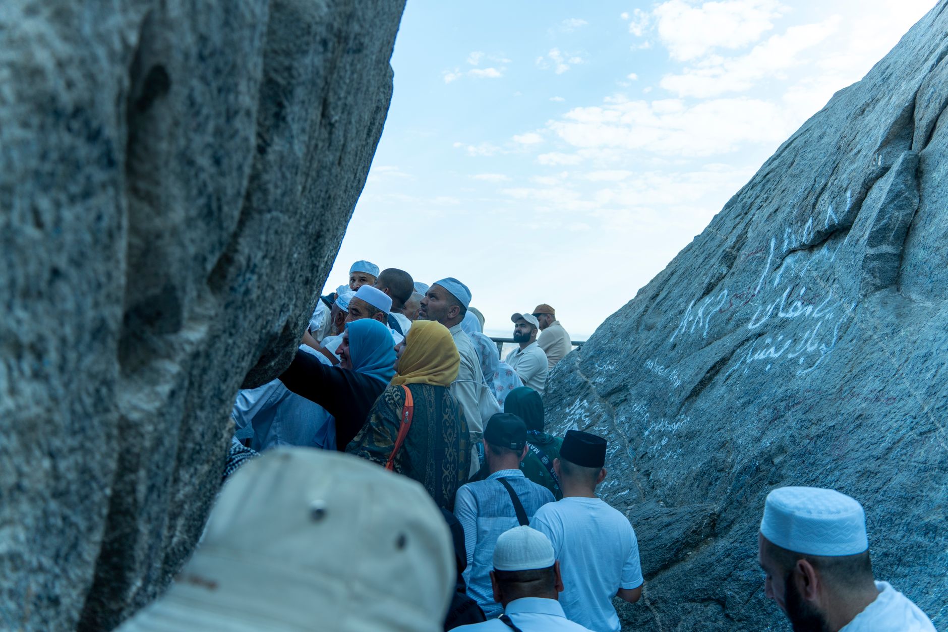
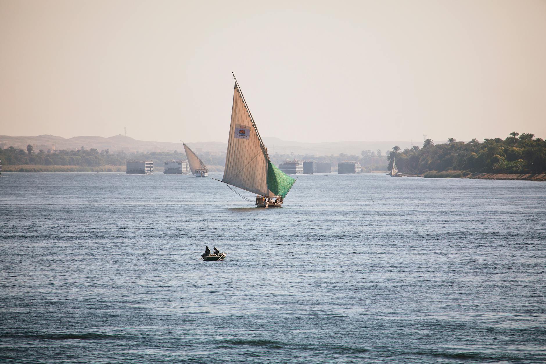
Al-Awamiyya sits on the west bank of the Nile in Luxor Governorate, a quiet residential stretch where the river slows and the cane fields push up close to the road. It occupies the same bend of the Nile that has drawn people to this part of Upper Egypt for millennia, and its coordinates place it within easy reach of some of the most storied ground in the ancient world.
This is not a place with a famous temple at its centre or a ticket booth at the gate. It is a lived-in corner of the Luxor district — useful as a base, honest in its rhythms, and surrounded by neighbours whose histories more than fill the silence.
💛 What travellers fall for
People who come back tend to treat it as a quiet anchor between longer days on either bank. The west bank road connects you to Al-Qurna and Medinet Habu without the tourist infrastructure of the main sites, which means the mornings here start slowly — tea, the sound of the river, a little time before the heat arrives.
Experiences you don't want to miss


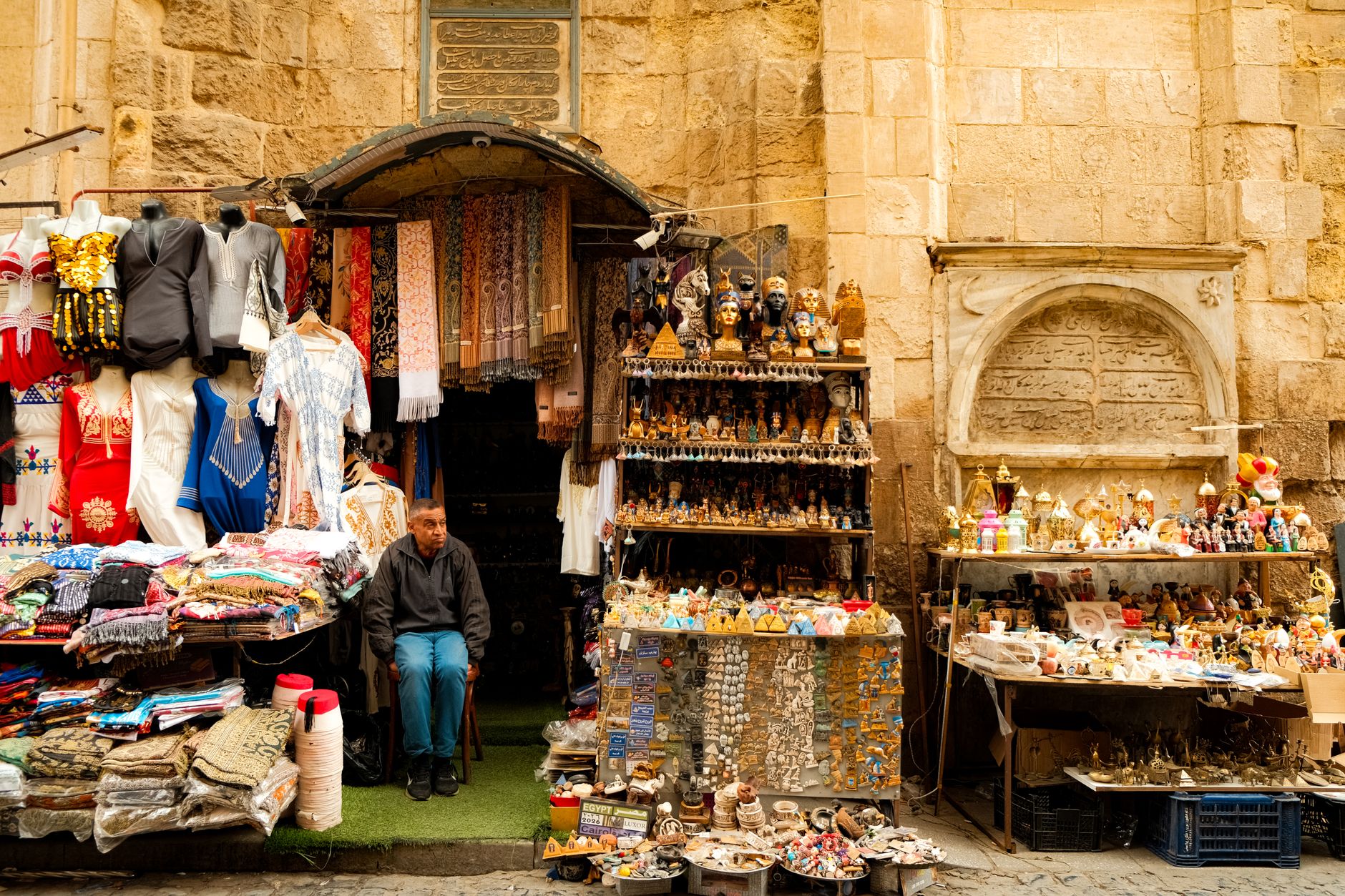
Deals in Al-Awamiyya
Book directly at the provider

Plan your visit
On the map
When to go
Luxor's desert climate means virtually no rain across the entire year. Winters are mild and pleasant — daytime temperatures settle around 20–25°C — while summers push well beyond 40°C and make midday movement genuinely difficult. If you have any choice in timing, come between December and February.
Right now
Background & history adapted from Wikipedia (CC BY-SA) · specs from Wikidata (CC0) · weather from Open-Meteo · map data © OpenStreetMap contributors · photos from Wikimedia Commons / Unsplash with per-image credit. No third-party reviews or social posts reproduced.