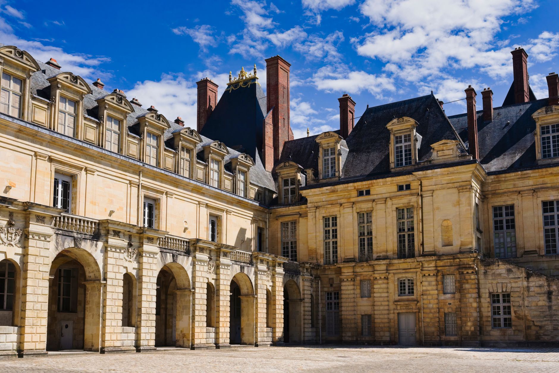
Panorama from the Butte de Montmorency
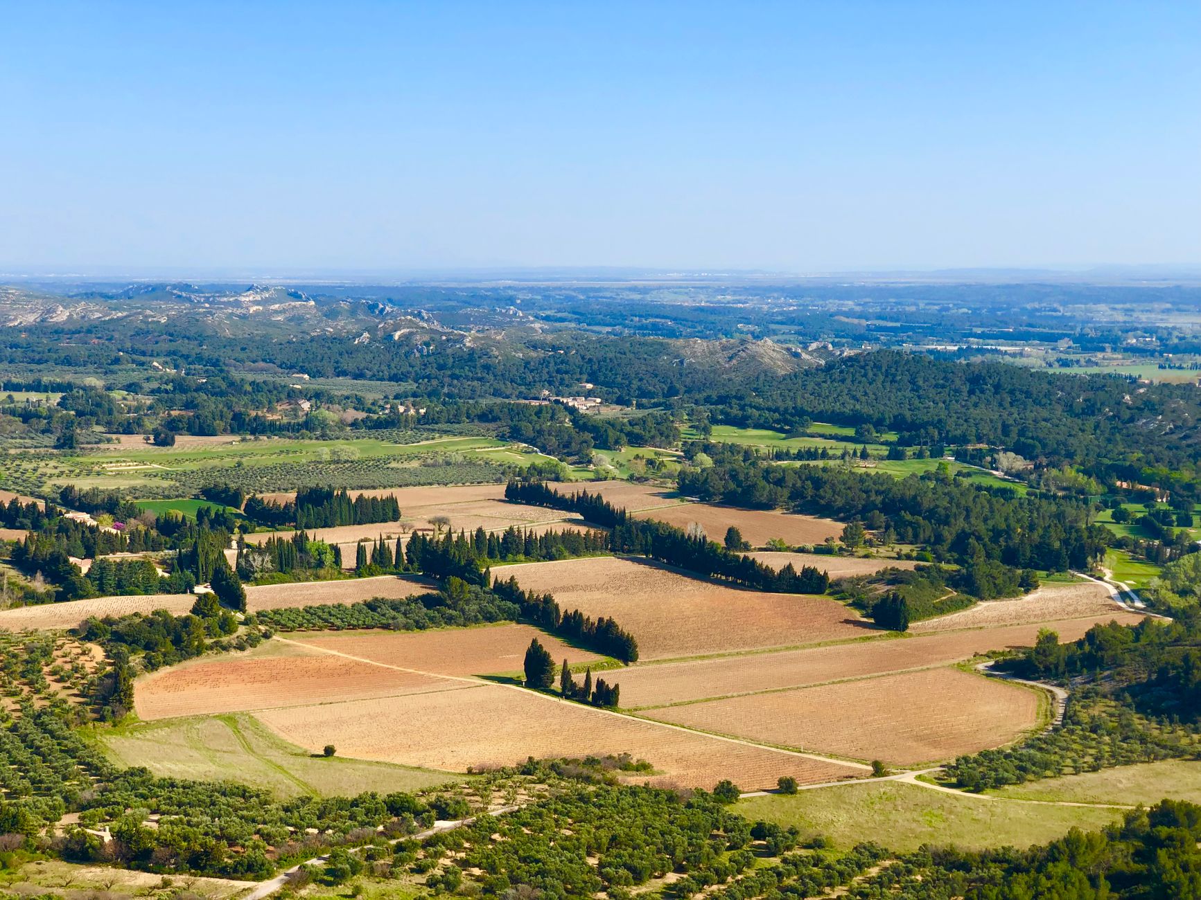
A short drive or energetic cycle from the town centre, the Butte de Montmorency is the highest natural point in the immediate Saint-Dizier area — a gently rounded wooded hill that breaks the otherwise table-flat Champagne landscape and rewards the climb with a sweeping view over the Marne river valley, the town's rooftops and the agricultural plain stretching south towards the Der.
Getting Up There
A marked footpath leaves from the D2 road between Saint-Dizier and Bettancourt-la-Ferrée; the ascent through mixed oak and hornbeam forest takes about 25 minutes on foot and is manageable for children. Mountain bikers use the same trails on weekends, so keep to the left on the wider paths.
The clearing at the summit has a simple orientation table installed by the local hiking club (Club Vosgien de Saint-Dizier) that identifies landmarks as far as the Forêt de Der on clear days. Bring binoculars — the view rewards them.
Best Light & Practical Notes
The butte faces west-southwest, making it ideal for late-afternoon and golden-hour visits when the Marne catches the light and the factory chimneys of Saint-Dizier's industrial fringe become unexpectedly photogenic silhouettes rather than eyesores.
Pack a picnic: there are no facilities at the top, but the clearing has wooden benches and a fire pit used by local walking groups. The trailhead has a small car park with space for about eight vehicles.
More of Saint-Dizier
Discover where to stay, what to do and the best deals for your trip.
Explore Saint-Dizier →