
Zona Hotelera (Hotel Zone)
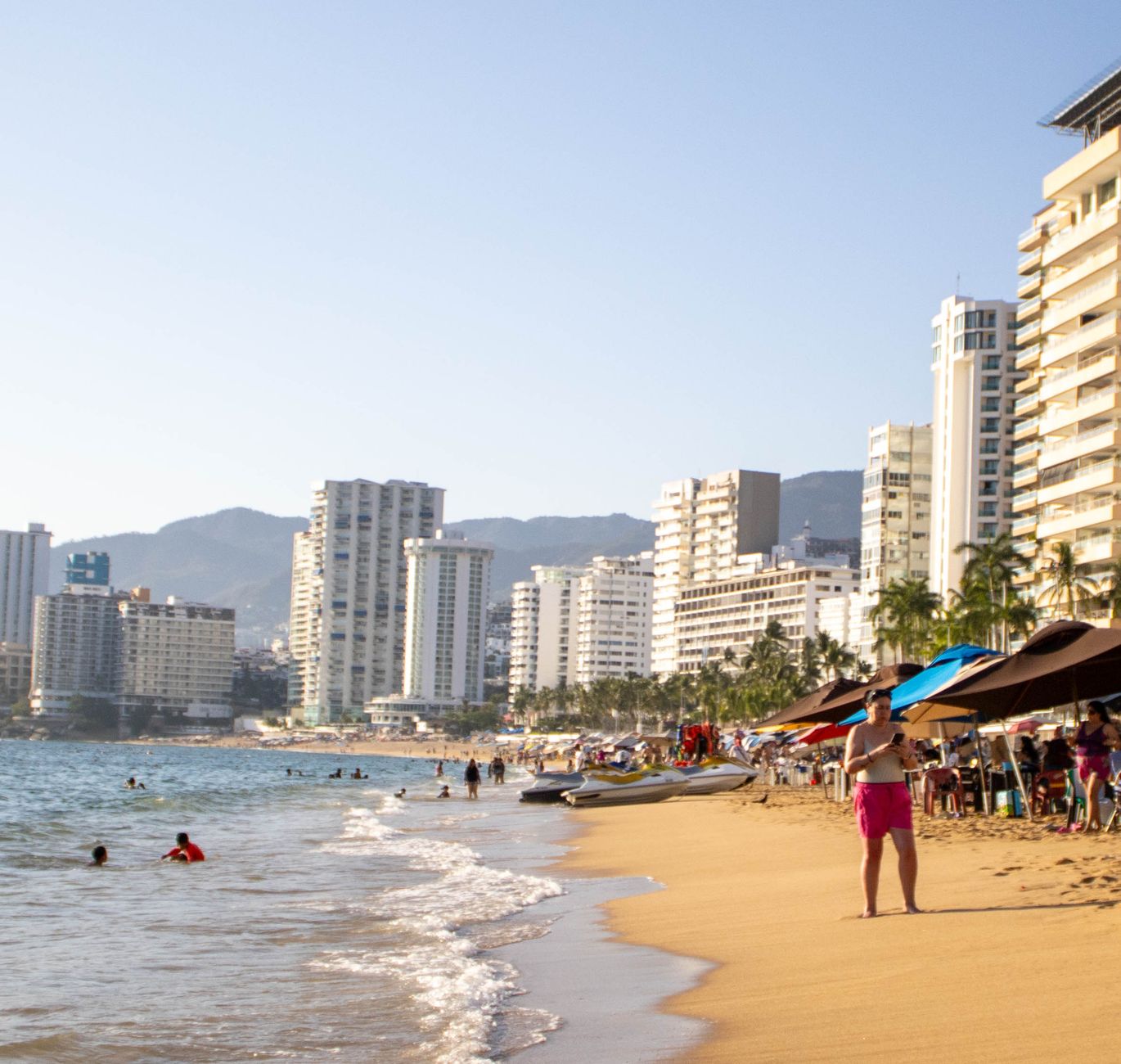
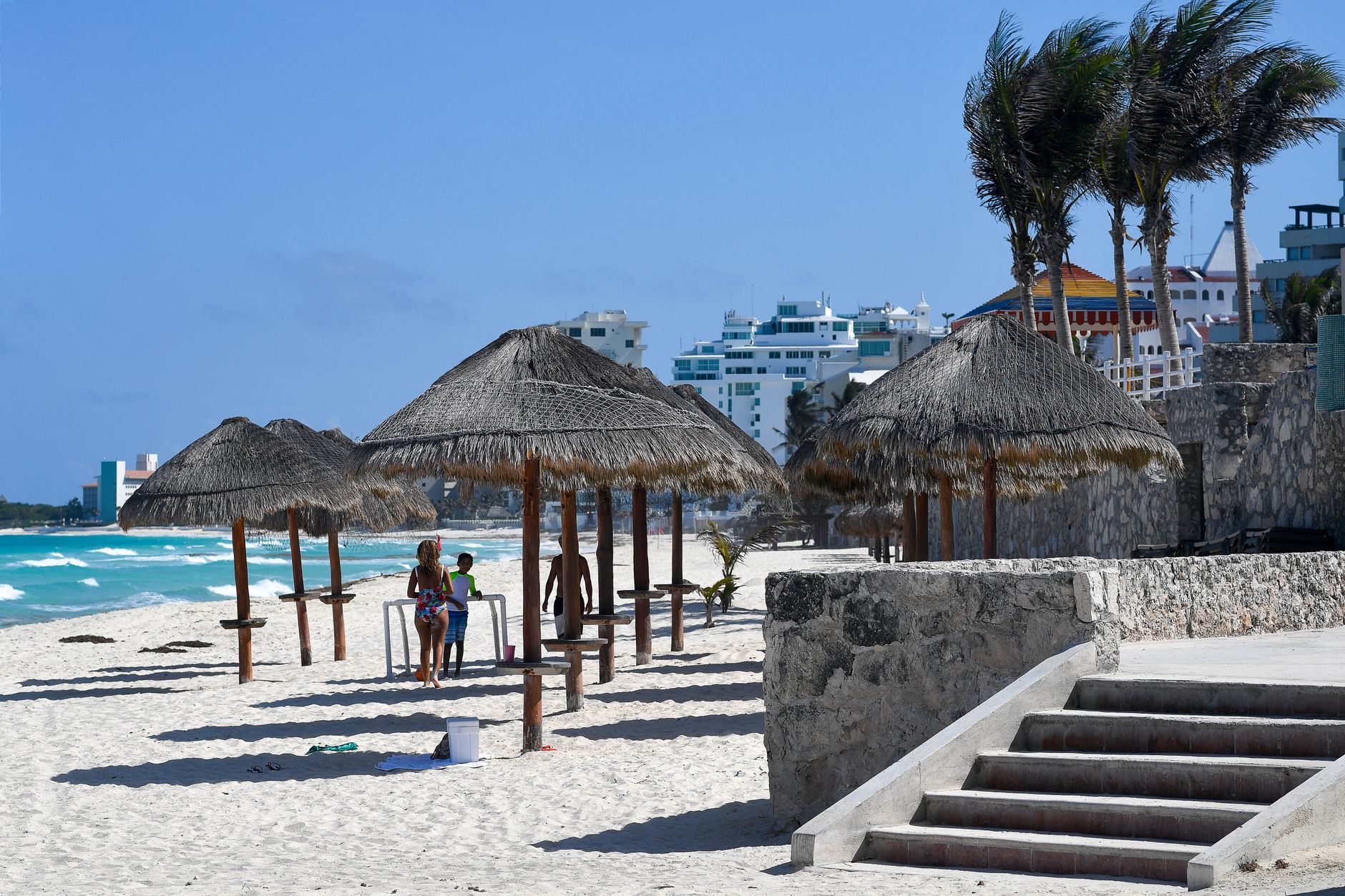
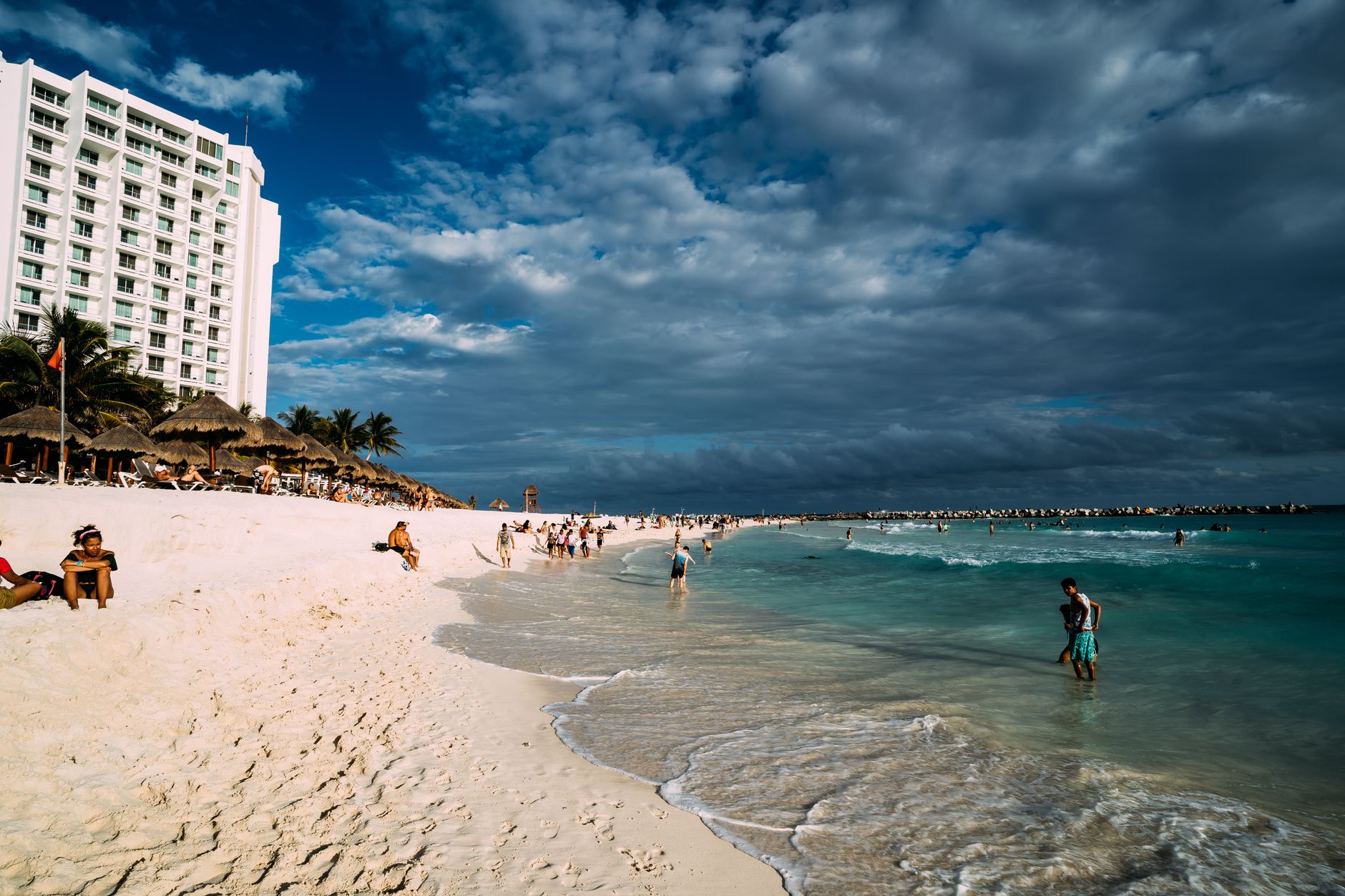
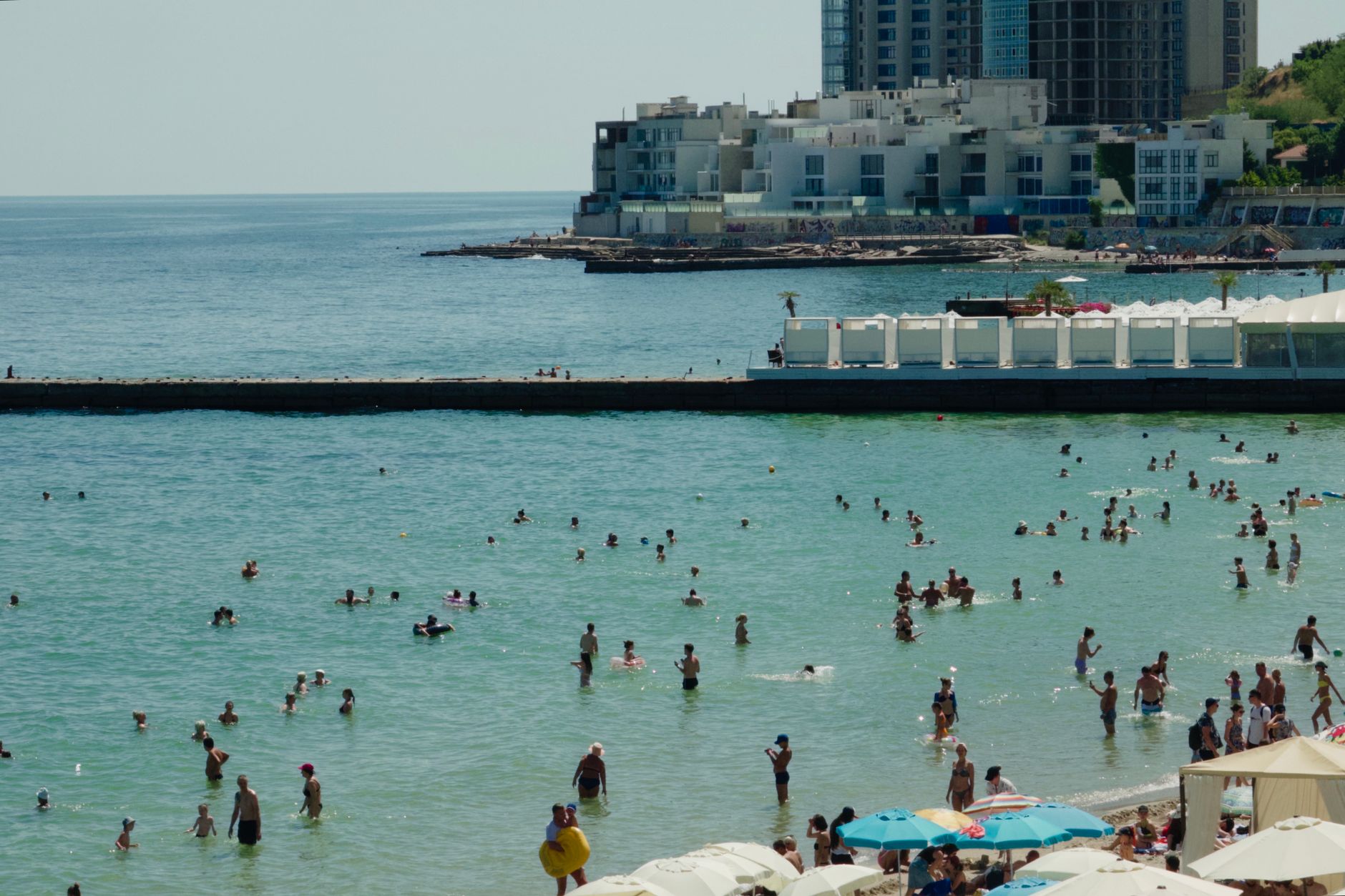
The Zona Hotelera sits on a narrow barrier island shaped, from above, like the number seven — fourteen miles of sand and concrete embraced on one side by the Caribbean and on the other by the glassy shallows of Laguna Nichupté. Boulevard Kukulcán runs its full length, and hotel addresses here are simply kilometer markers, so you always know roughly where you stand.
What catches people off guard is the layering. Between the all-inclusives and the shopping malls, nearly fifty Mayan sites survive inside the zone itself, including El Rey's pyramid-shaped temple and its burial ground. The beach at Playa Delfines runs uninterrupted for ten kilometers. The island is persistently windy, exposed to Caribbean trade winds on both flanks, which keeps the air moving even in August.
💛 What travellers fall for
People who come back tend to note the same things: the north end of the seven, where the water runs calmer because Isla Mujeres breaks the current, is better for swimming than the south. The ADO bus from the airport terminals is cheaper and more reliable than most visitors expect. And the Museo Maya charges 90 pesos — cash, Mexican pesos only — and includes the San Miguelito ruins next door, which most people skip entirely.
Deals in Zona Hotelera (Hotel Zone)
Book directly at the provider
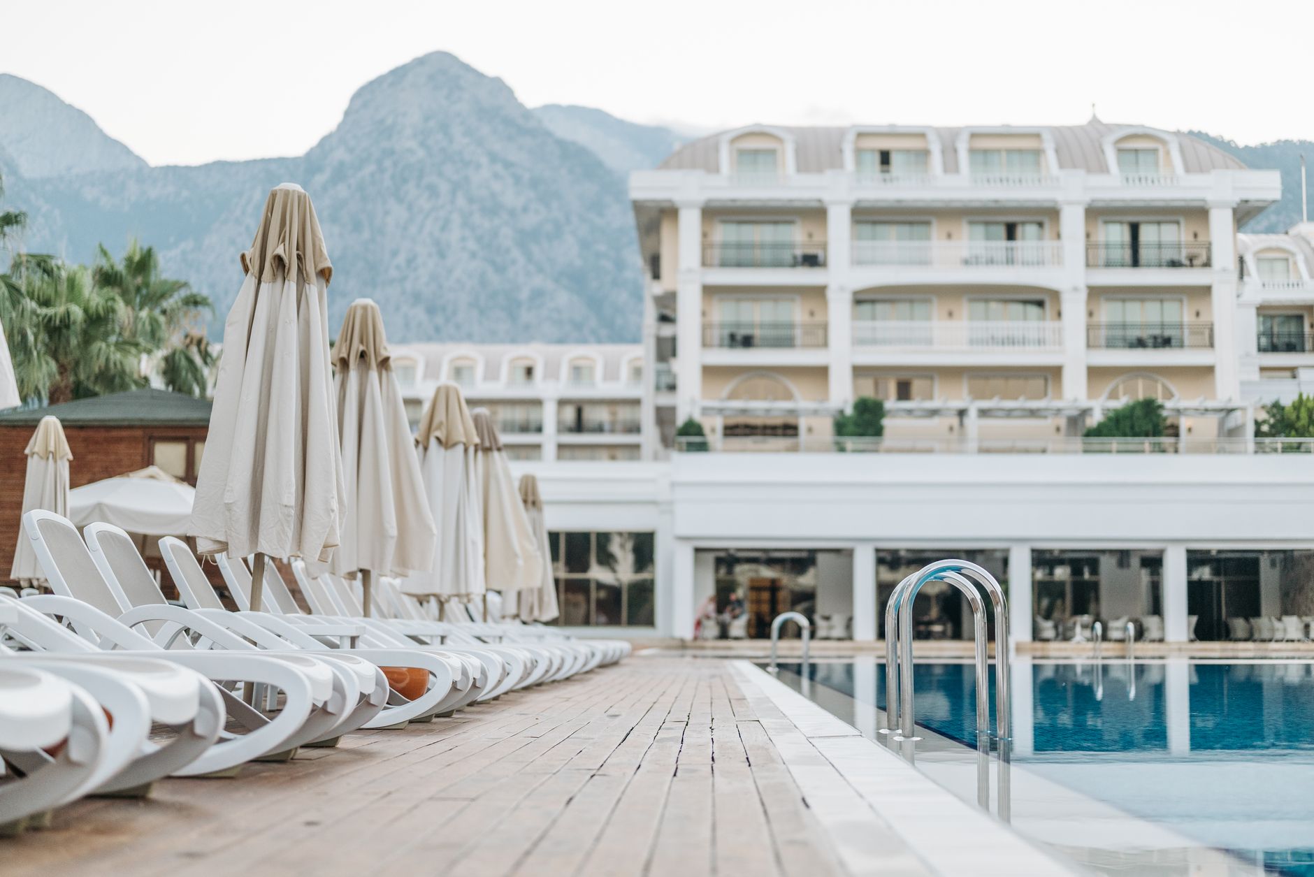
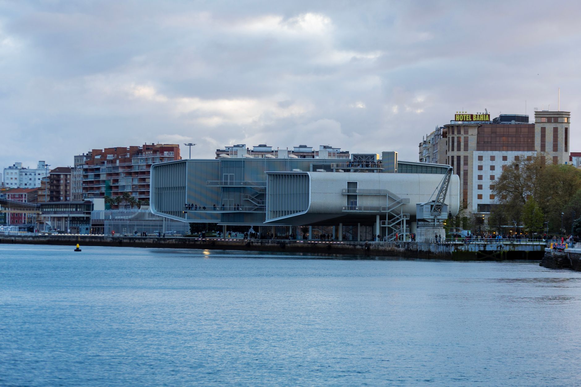
How Zona Hotelera (Hotel Zone) came to be
In 1967, Mexico's federal government committed two million dollars through the Bank of Mexico to develop a new tourism corridor. Planning began in 1970, with the site chosen partly by computer simulation — an unusual method for the era — that assessed climate and carrying capacity across potential locations. The selection landed on an uninhabited mangrove barrier island off the coast of Puerto Juárez. Architect Agustín Landa Verdugo, working with his brother and Javier Solórzano, drew up the master plan and divided the project into two zones: the hotel strip on the island and a residential mainland district that became El Centro.
The first hotel opened in 1974. Private investors were skeptical, so the federal government financed the first nine properties itself. By 1981, $1.1 billion had been invested, with 48 hotels, a convention center, and a golf course in place. The national tourism agency Fonatur managed the zone's infrastructure from inception until 2024, when authority transferred to the state government of Quintana Roo.
Who and what shaped it
People who shaped it
Landmark buildings
See Zona Hotelera (Hotel Zone) in motion
Plan your visit
On the map
When to go
November through April brings the driest, sunniest weather, with February highs around 84°F — the sweet spot before spring break crowds peak in March. Summers are hot and humid, reaching 94°F in August, with the ocean staying between 80°F and 82°F year-round; September and October carry the highest hurricane risk and the heaviest rain, though the zone sometimes holds blue skies while the mainland gets drenched.
Right now
Background & history adapted from Wikipedia (CC BY-SA) · specs from Wikidata (CC0) · weather from Open-Meteo · map data © OpenStreetMap contributors · photos from Wikimedia Commons / Unsplash with per-image credit. No third-party reviews or social posts reproduced.