
Victoria Harbour
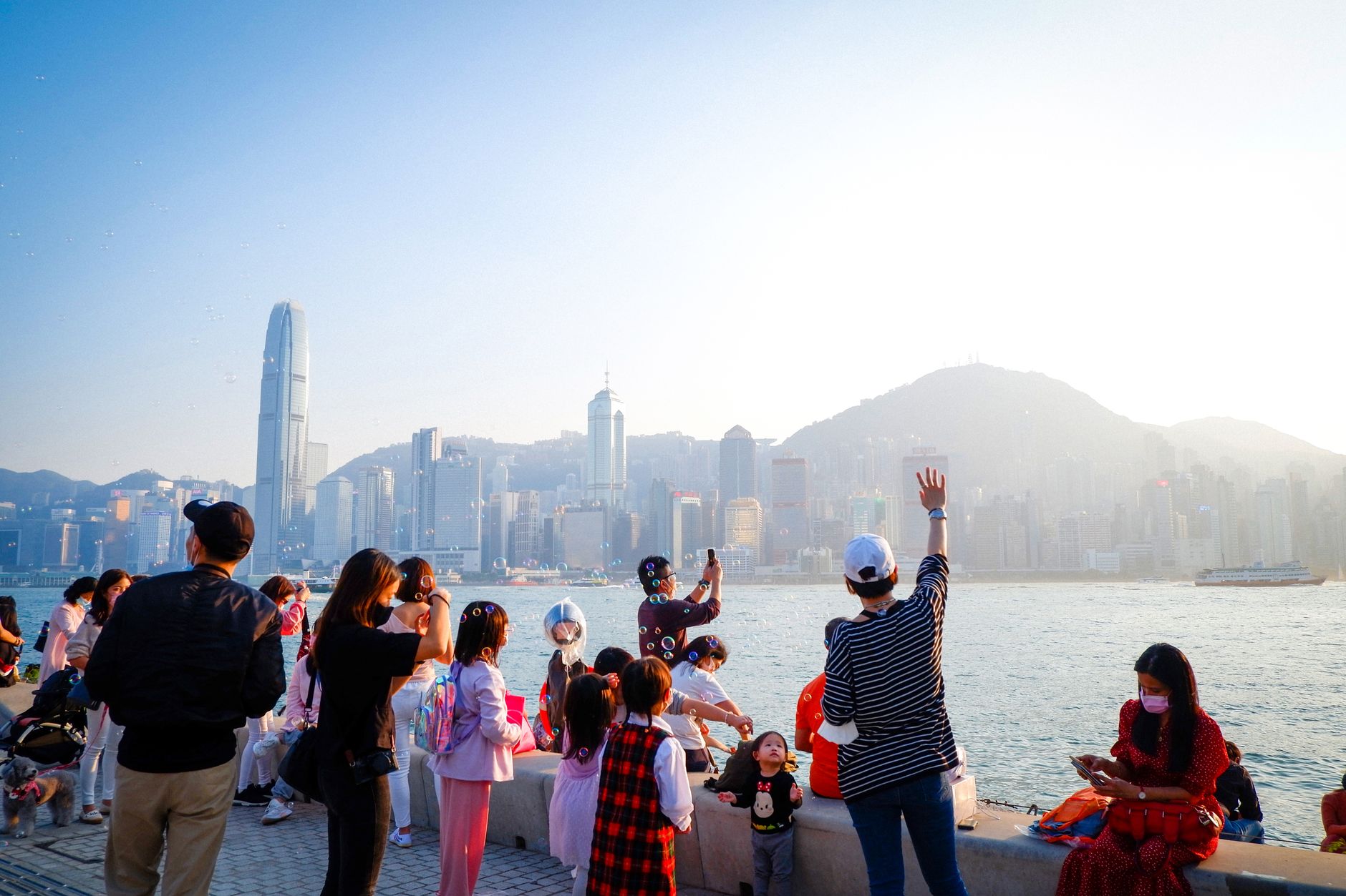
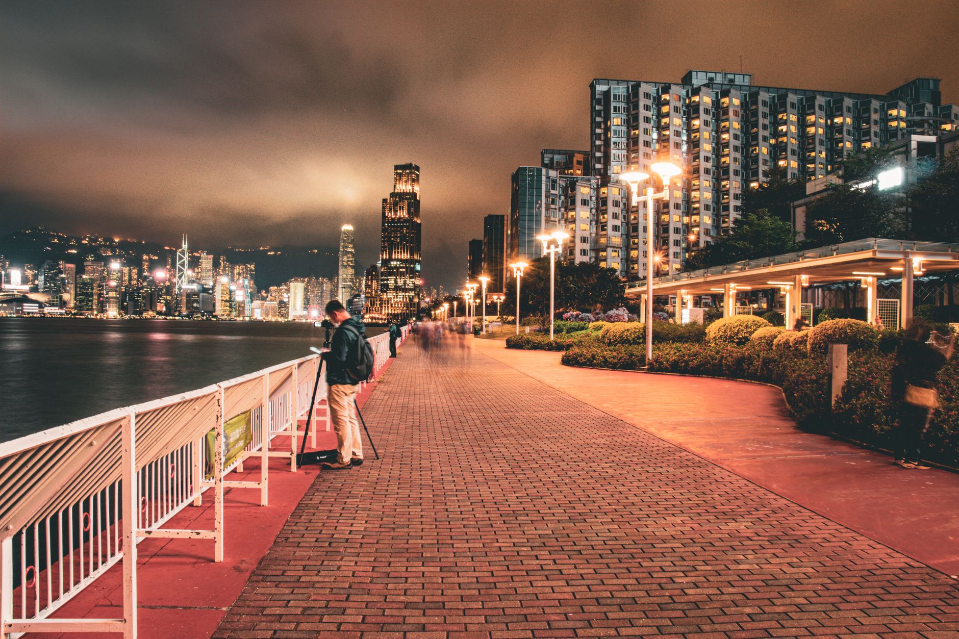
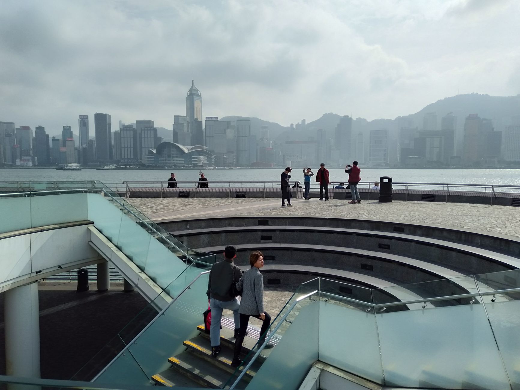
At 8pm every night, the buildings on both shores of Victoria Harbour light up in a coordinated show — 13 minutes of lasers and LEDs that the city has been running long enough for locals to mostly ignore it. That indifference is itself a kind of compliment: this water has been the pulse of daily life here for so long that spectacle has become routine.
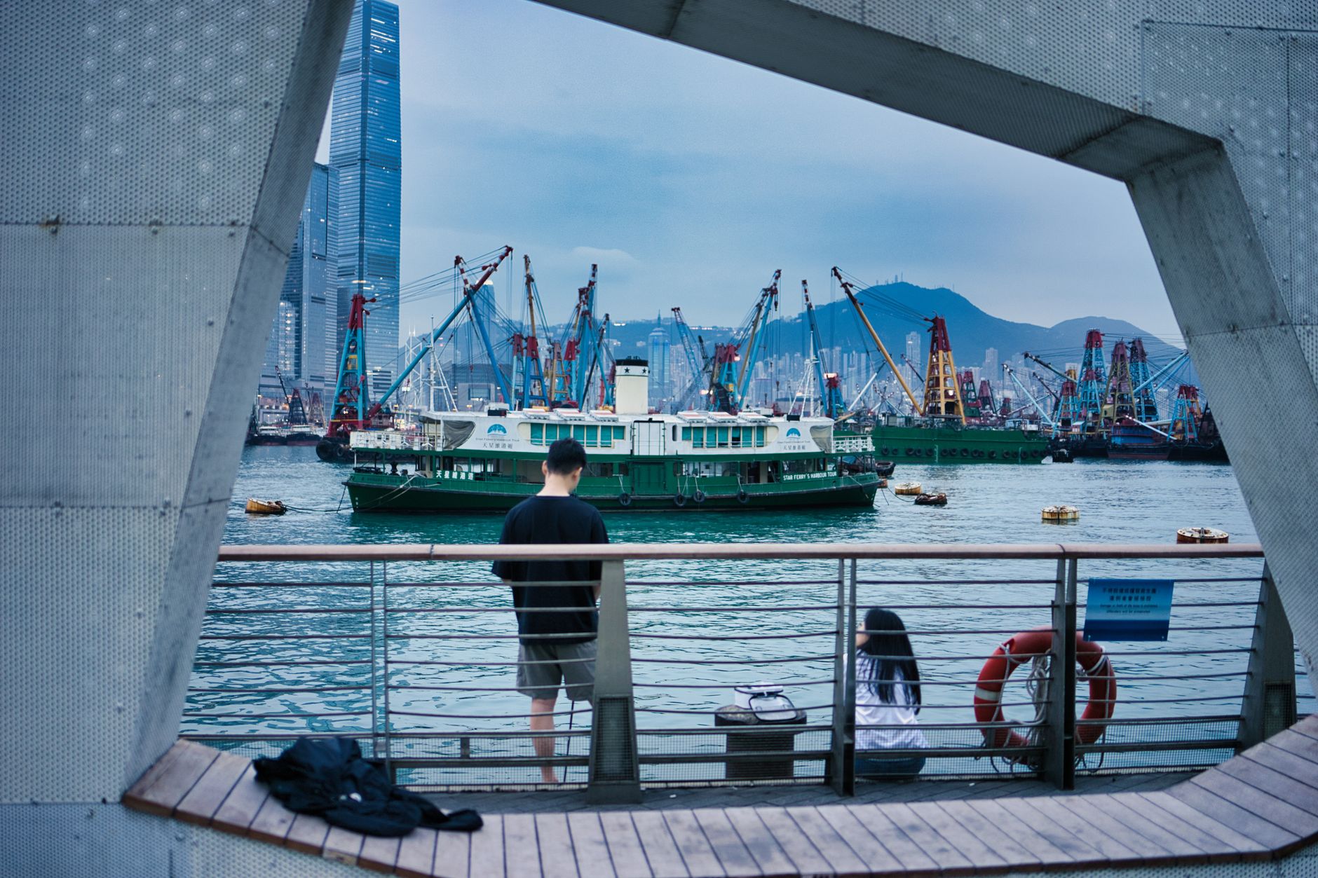
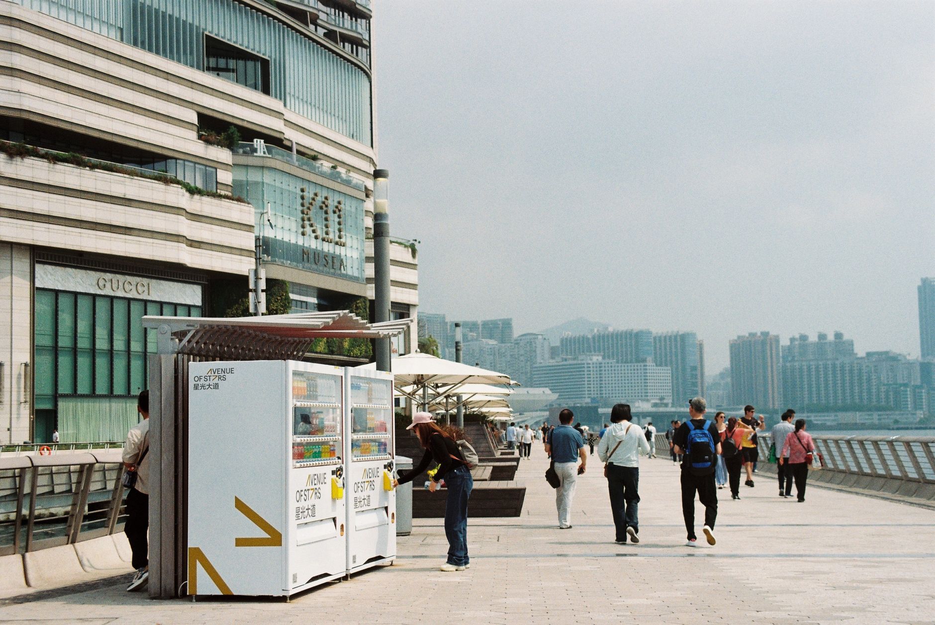
Stretching roughly 4.5 kilometres between Hong Kong Island and Kowloon, the harbour is not a park or a monument but a working waterway — container ships, outlying-island ferries, and the occasional cruise liner all moving past the same promenade where you can buy a Star Ferry ticket for HK$3.70 and cross in twelve minutes.
💛 What travellers fall for
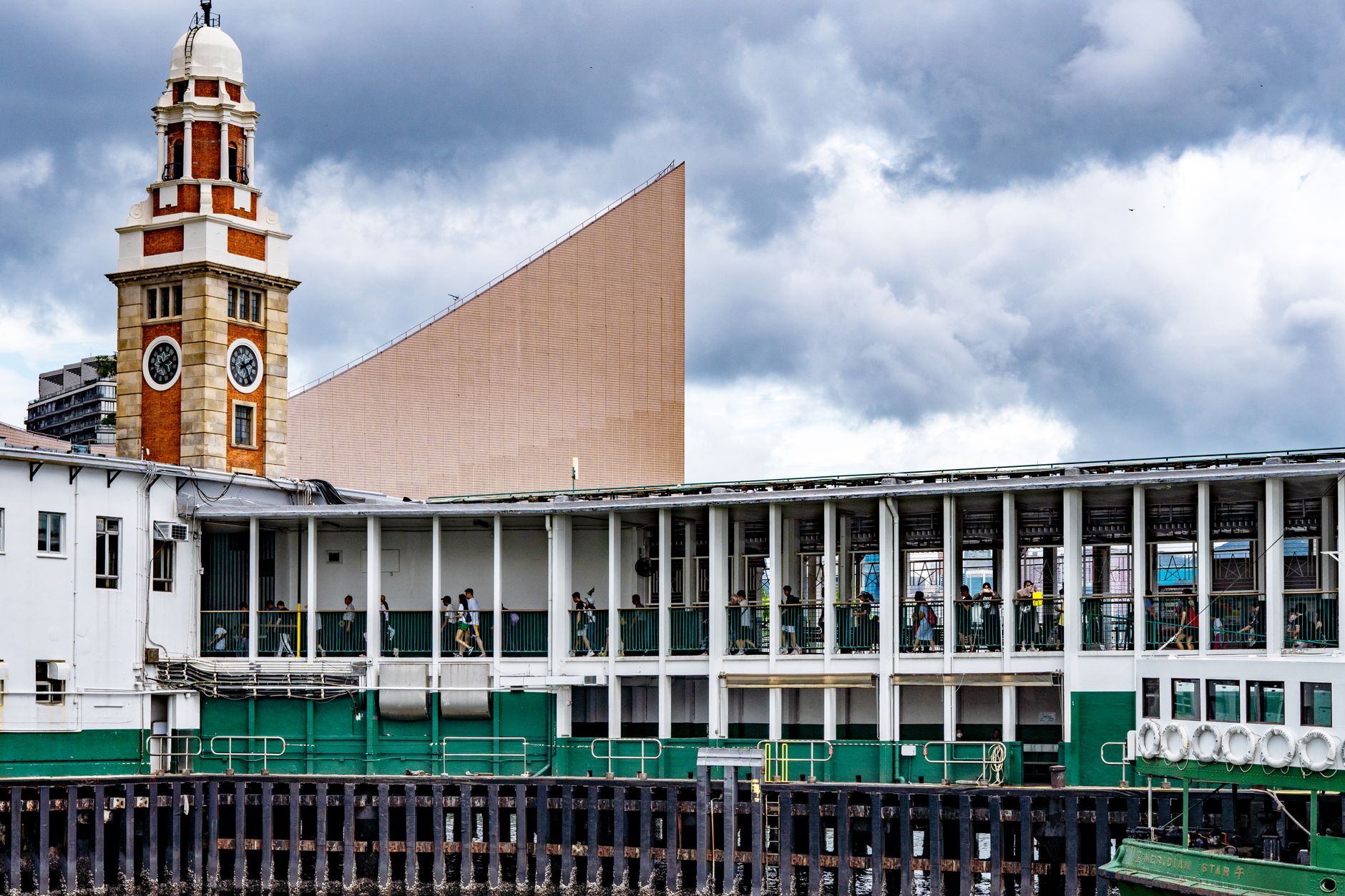
People who keep coming back tend to do the Star Ferry upper deck at dusk rather than dawn — the light on the ICC tower changes fast and the crossing is short enough to do twice. The Clock Tower on the Tsim Sha Tsui side is a reliable meeting point that never gets crowded, and the Ocean Terminal Deck rooftop (opened 2017) gives you a 270-degree read on the whole harbour without a ticket queue.
Deals in Victoria Harbour
Book directly at the provider

How Victoria Harbour came to be
The harbour showed up on Zheng He's coastal sailing charts around 1425, and the East India Company had it properly mapped by 1810. When Britain established Hong Kong as a colony in 1841, the water between island and peninsula was simply called Hong Kong Harbour. The name changed to Victoria Harbour in 1860, after Britain occupied the Kowloon Peninsula during Queen Victoria's reign.
The Star Ferry has been threading this crossing since 1898. The Victoria Recreation Club was holding swimming and water polo competitions here in the 1850s — races that stopped in 1973 when pollution made the water unswimmable. A harbour treatment scheme begun in 1994 gradually reversed that, and water quality has been measurably improving since 2015.
Who and what shaped it
Landmark buildings
See Victoria Harbour in motion
Plan your visit
On the map
When to go
Autumn (late September to November) is the resident favourite — dry, sunny, temperatures easing from the high twenties down toward a comfortable mid-twenties by November. Spring brings warmth but also dense harbour fog that can close in without warning; summer means real heat above 32°C and typhoon season, which can shut the Star Ferry on short notice.
Right now
Background & history adapted from Wikipedia (CC BY-SA) · specs from Wikidata (CC0) · weather from Open-Meteo · map data © OpenStreetMap contributors · photos from Wikimedia Commons / Unsplash with per-image credit. No third-party reviews or social posts reproduced.