
Mediterranean Coast, Costa del Sol, Spain
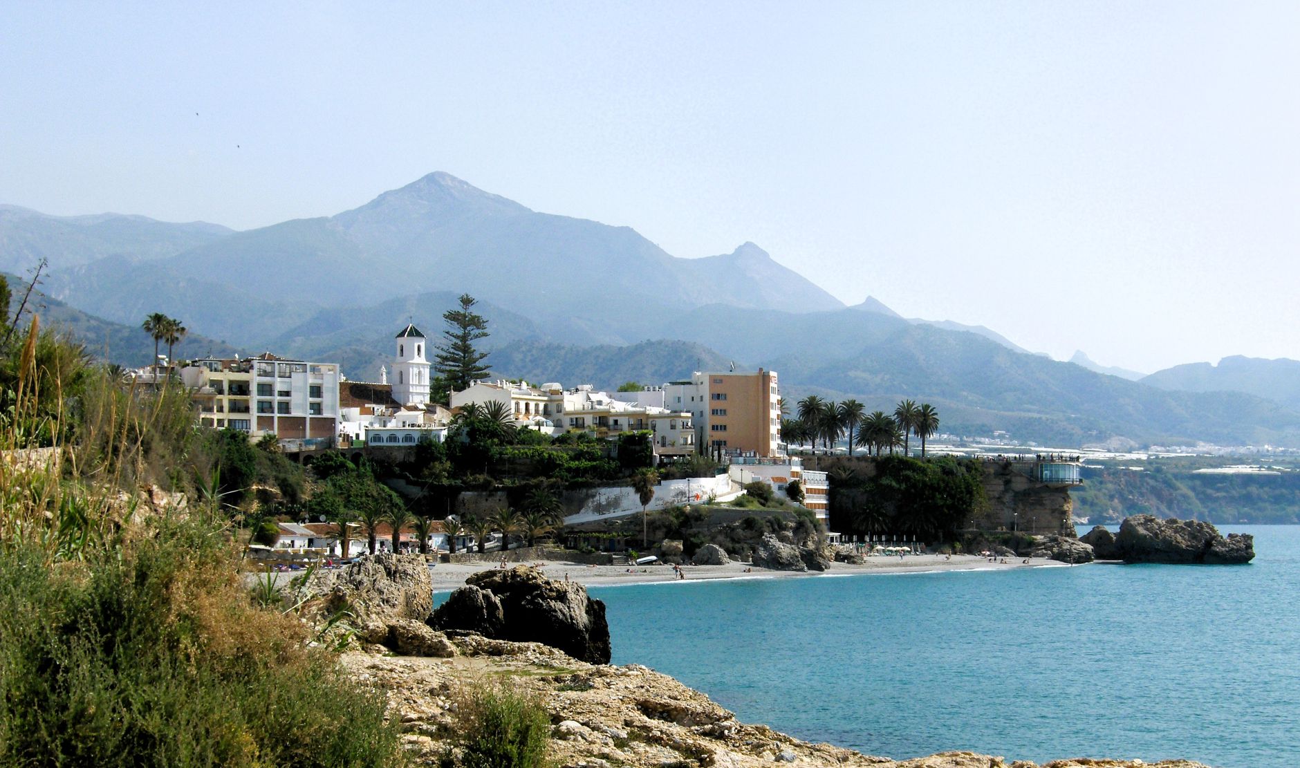
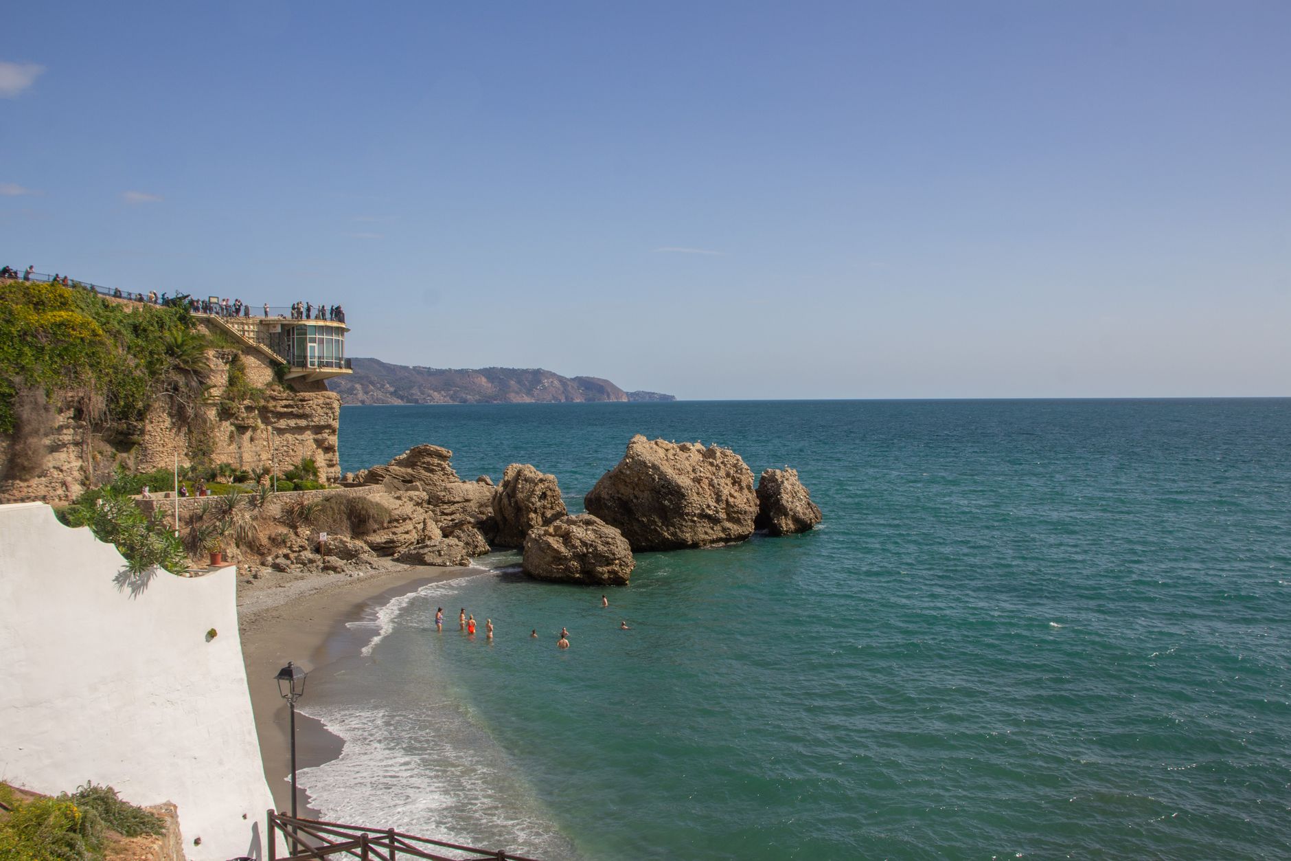
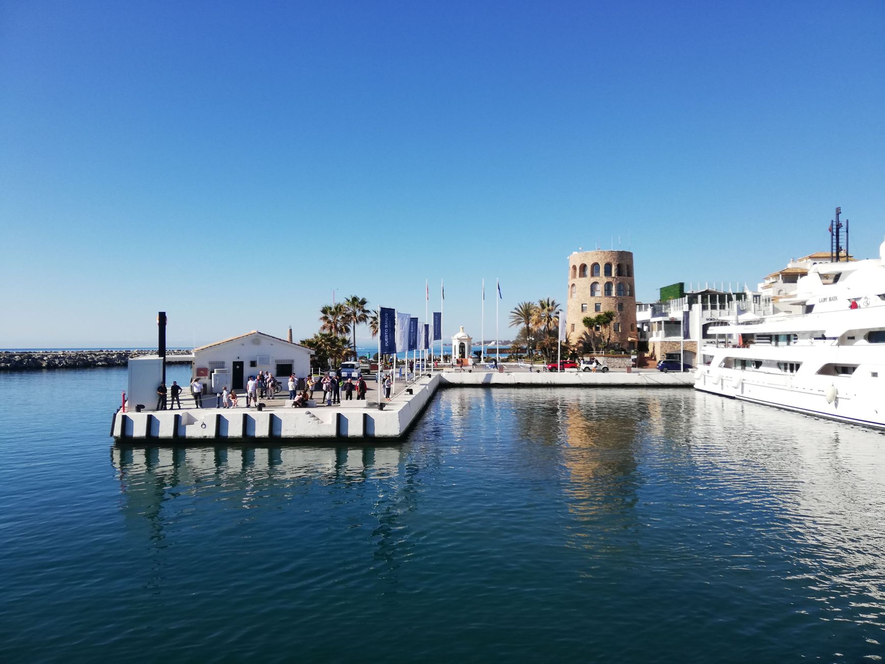
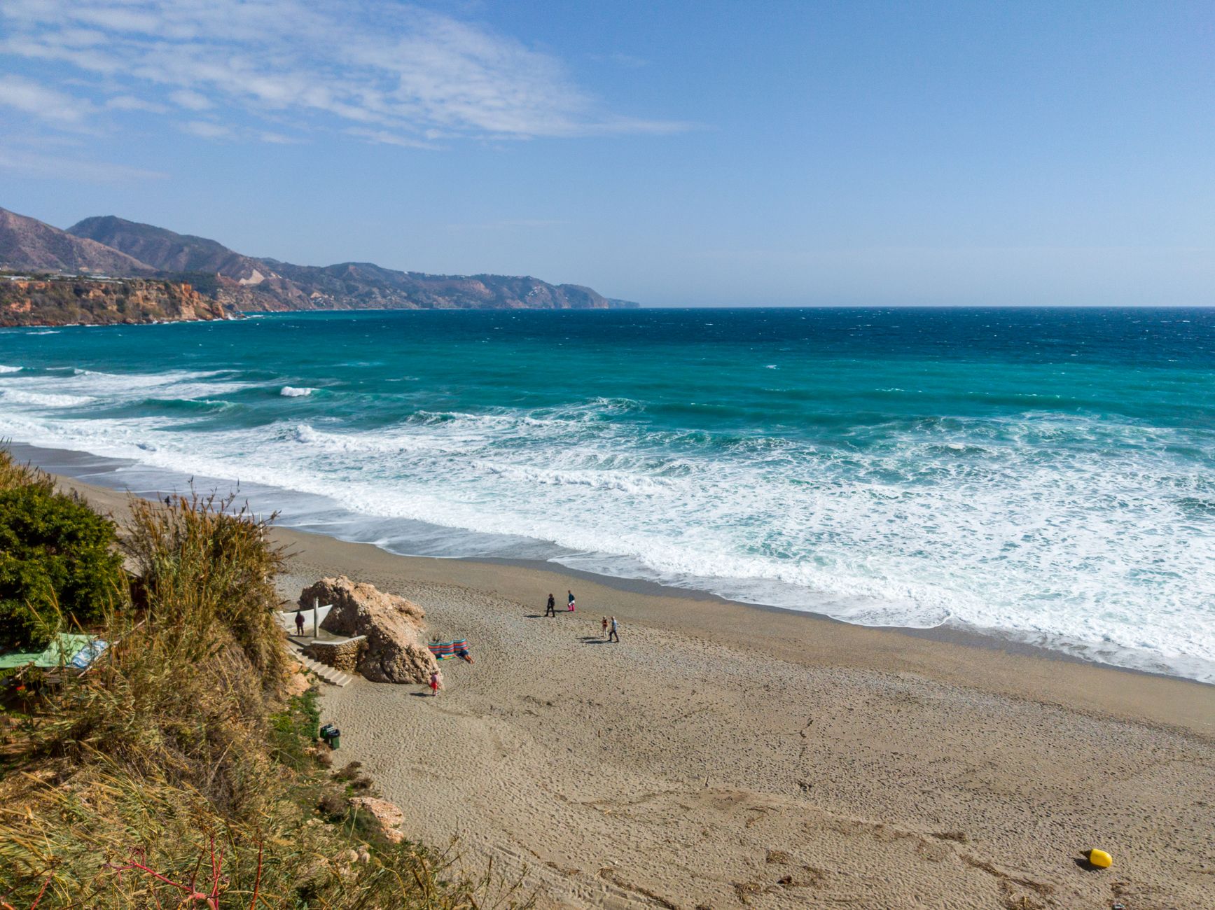
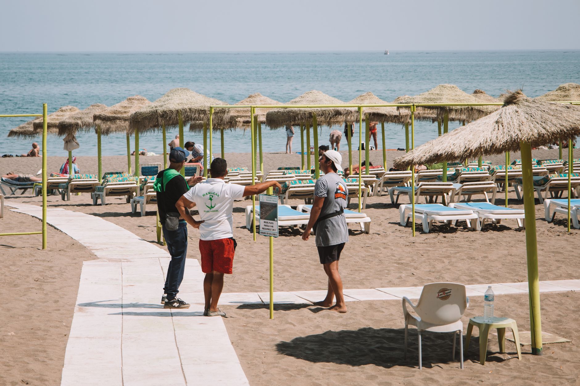
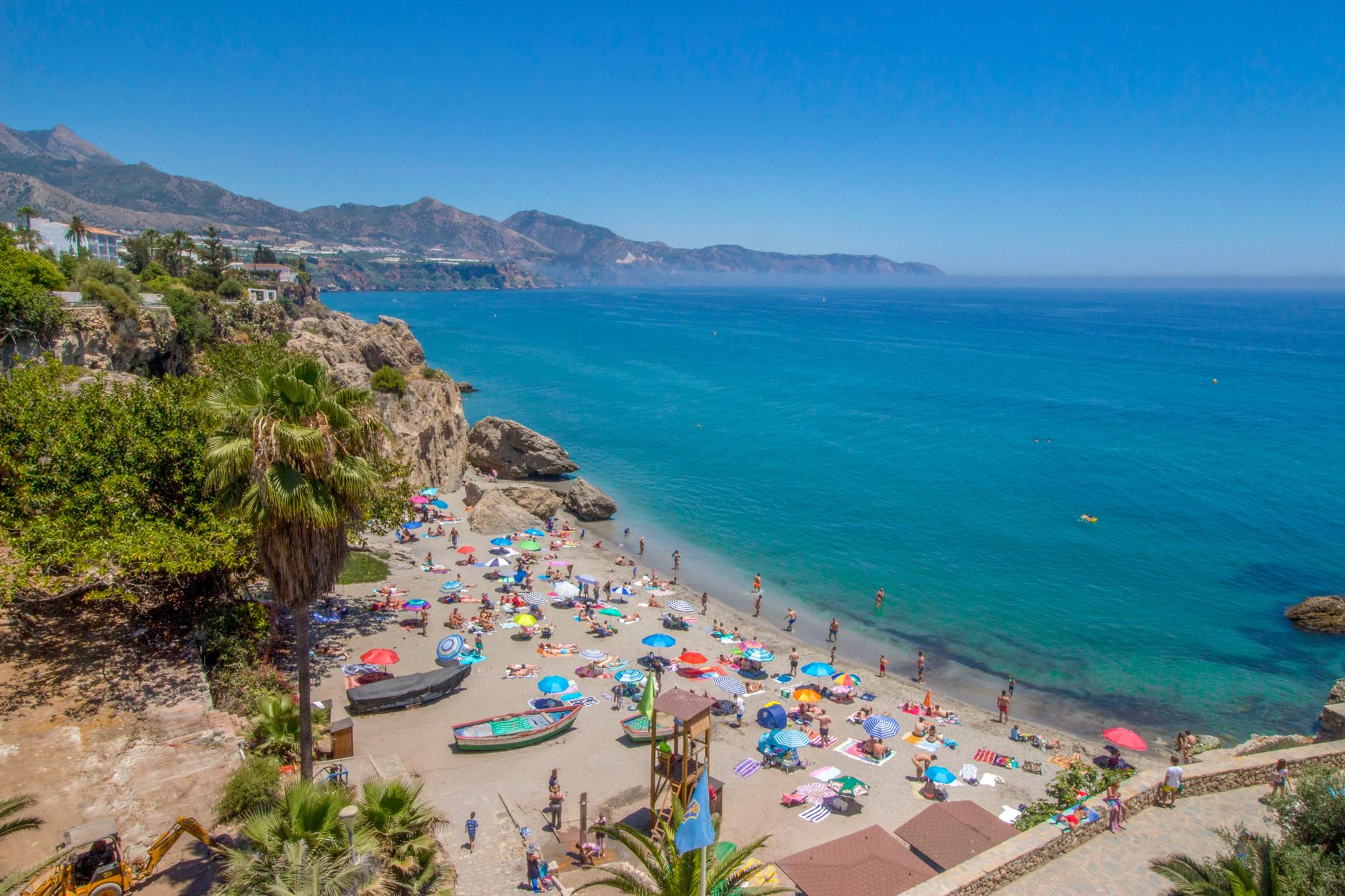
The Costa del Sol stretches roughly 150 kilometres along Spain's southern Mediterranean shore, from the edge of Gibraltar's rock to the outskirts of Almería. What holds it together is not a single character but a particular quality of light — flat, white, relentless in summer, honeyed from October onward — and the fact that Phoenician traders, Roman settlers, Moorish rulers and 1970s package tourists all arrived and decided to stay.
Málaga anchors the region as its airport, its cultural engine and its oldest continuously inhabited city. West of it, the coast shifts through Torremolinos, Fuengirola, Marbella and Estepona, each with its own register — working-class beach town, yacht marina, whitewashed hillside village — before the landscape quietens toward Sotogrande.
Popular cities in Mediterranean Coast, Costa del Sol, Spain
💛 What travellers fall for
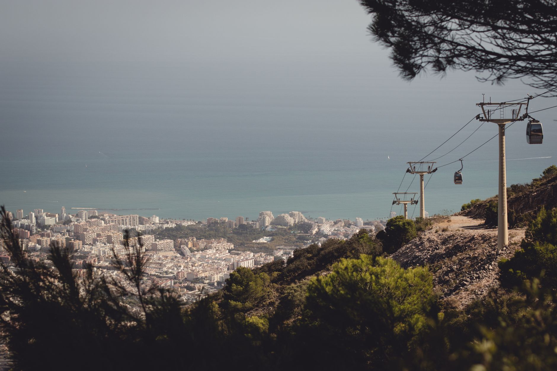
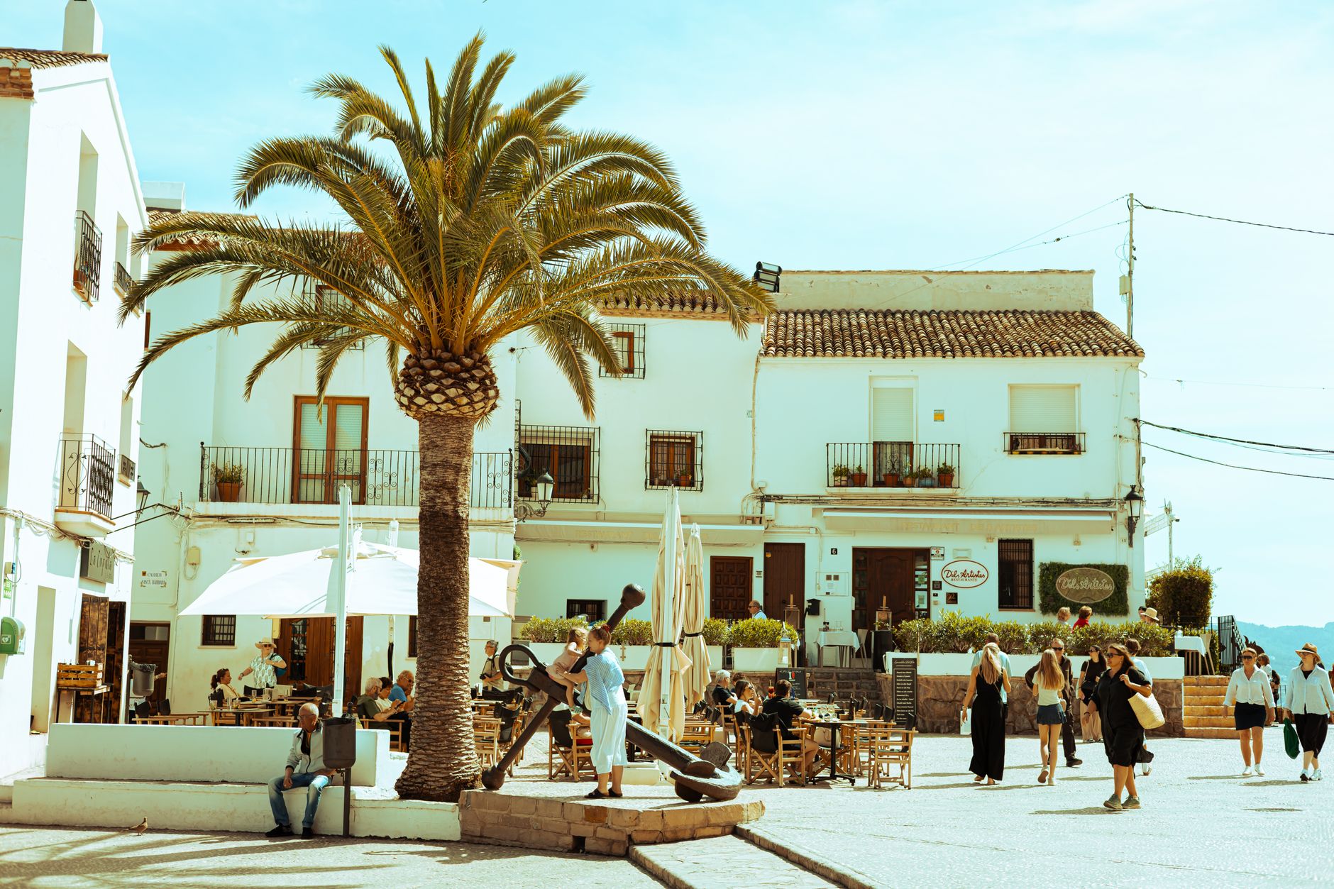
People who come back tend to sort themselves by kilometre. Some return for Málaga's Atarazanas market on a weekday morning, when the stalls are full and the stained-glass facade throws colour across the fish counters. Others fix on Nerja's caves or a particular terrace in Mijas. The region is large enough that two return visitors can have almost no itinerary in common.
How Mediterranean Coast, Costa del Sol, Spain came to be
Long before tourism, this coastline was a working edge of the ancient world. The Bastuli lived here first; then Phoenician traders from what is now Lebanon founded ports at Málaga and beyond. Romans followed, leaving behind second-century baths near Marbella — the remains of a settlement called Cilniana, shattered by an earthquake in AD 365. Moorish fortifications still stand at Fuengirola and Manilva.
Modern tourism has its own archaeology. In 1897, a group of Málaga businessmen formed a society specifically to promote the coast's mild winters. By 1928 there was a golf course in Torremolinos. Prince Alfonso de Hohenlohe opened the Marbella Club in 1954 when the town's population was around 900. Then the 1968 airport terminal brought charter flights from northern Europe, and the coast changed shape permanently — Puerto Banús opened in 1970, and the Tourism Board, the first of its kind in Spain, followed in 1976.
Who and what shaped it
People who shaped it
Landmark buildings
See Mediterranean Coast, Costa del Sol, Spain in motion
Plan your visit
On the map
When to go
Summers are long, dry and genuinely hot — July and August regularly exceed 35°C on the western stretch. Spring and autumn are the most comfortable seasons for walking or exploring inland; winters are mild enough that the original 19th-century promoters were not exaggerating, though the sea turns cold by November.
Right now
↡ Cities
Background & history adapted from Wikipedia (CC BY-SA) · specs from Wikidata (CC0) · weather from Open-Meteo · map data © OpenStreetMap contributors · photos from Wikimedia Commons / Unsplash with per-image credit. No third-party reviews or social posts reproduced.