
Kilimanjaro Region
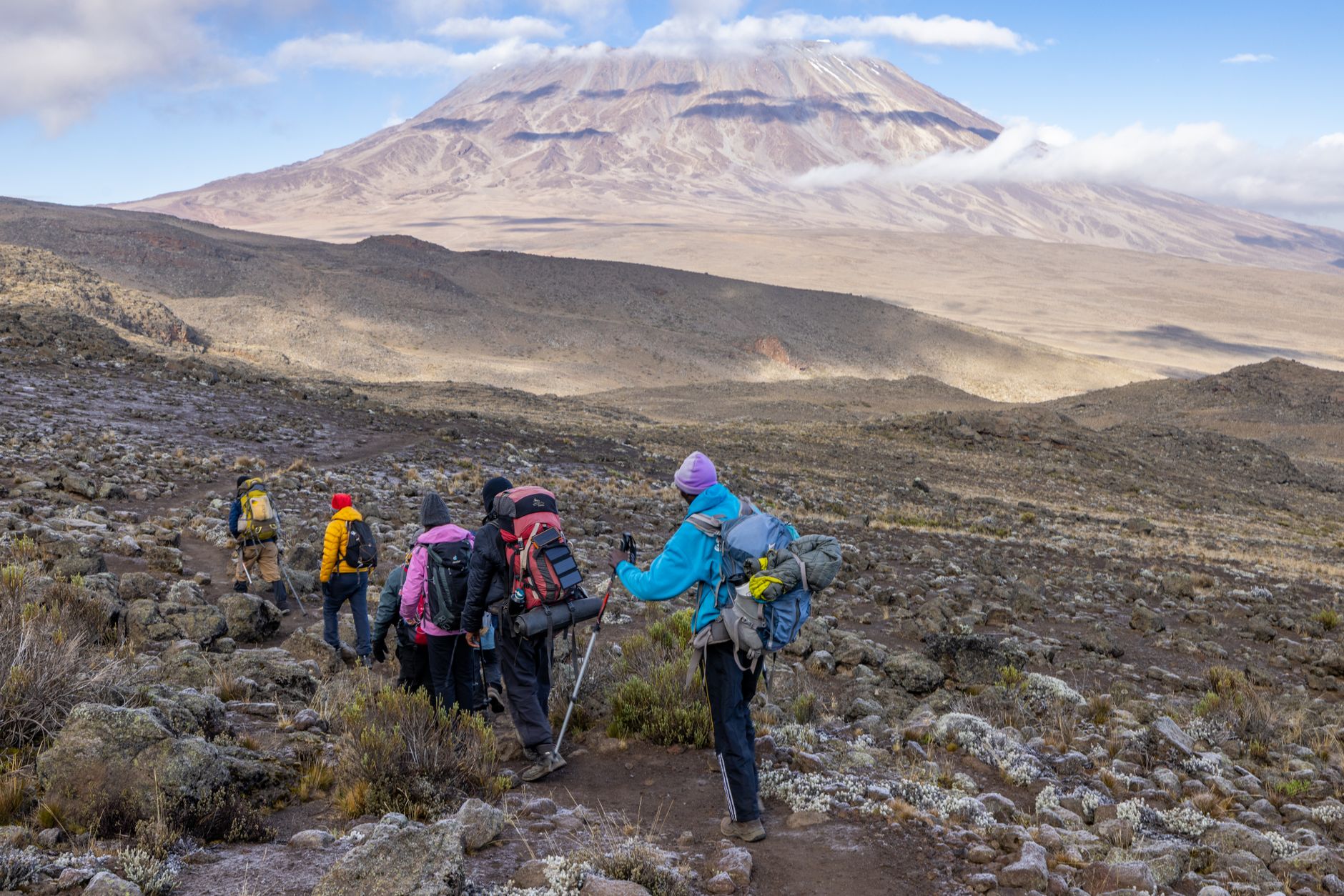
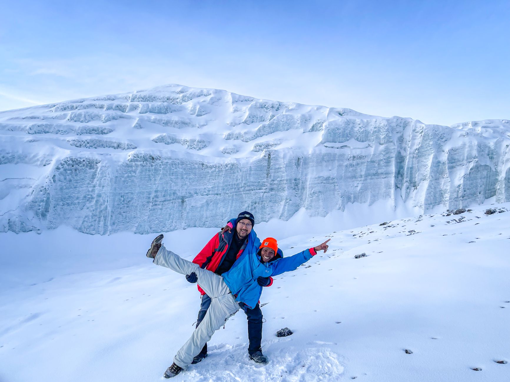

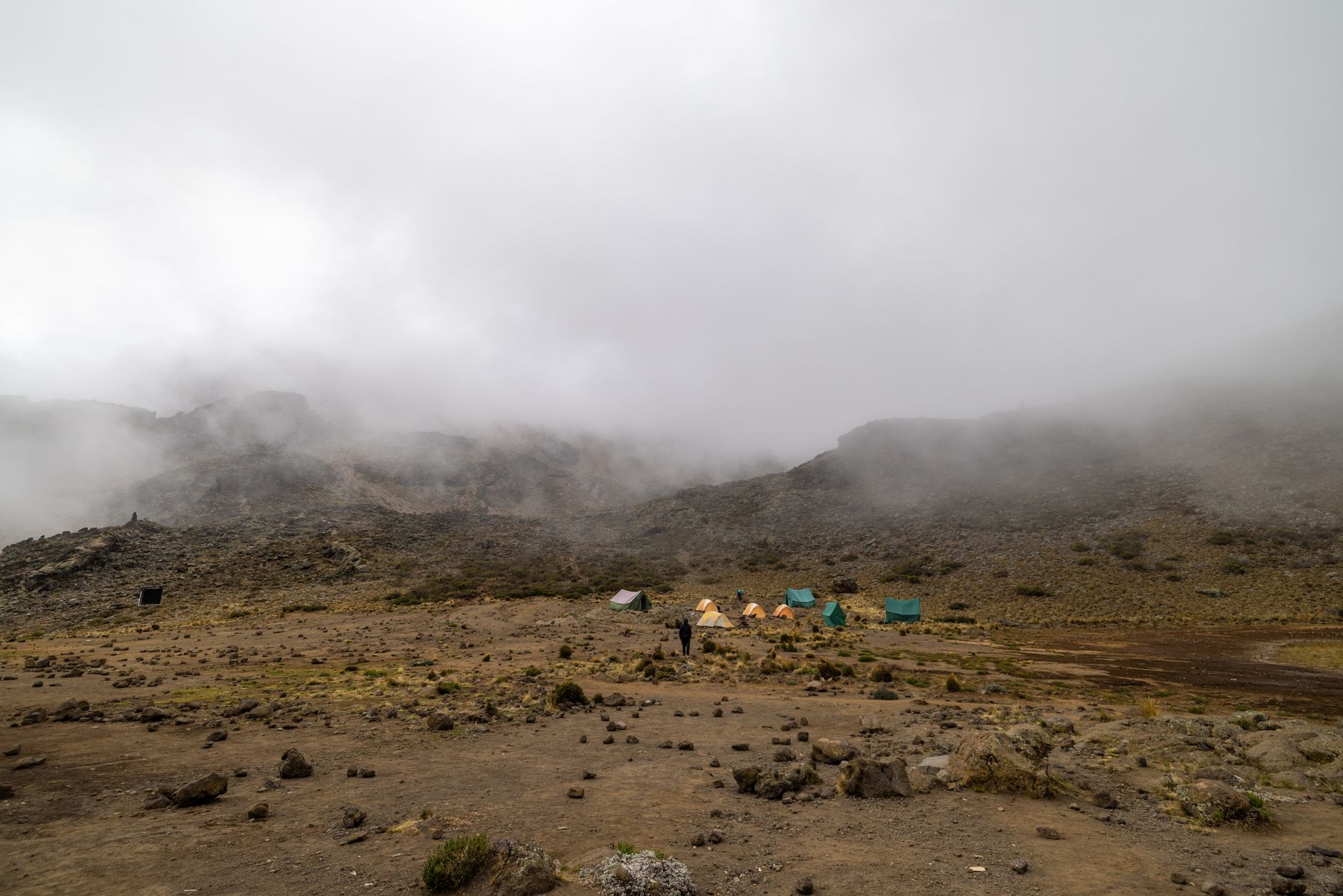
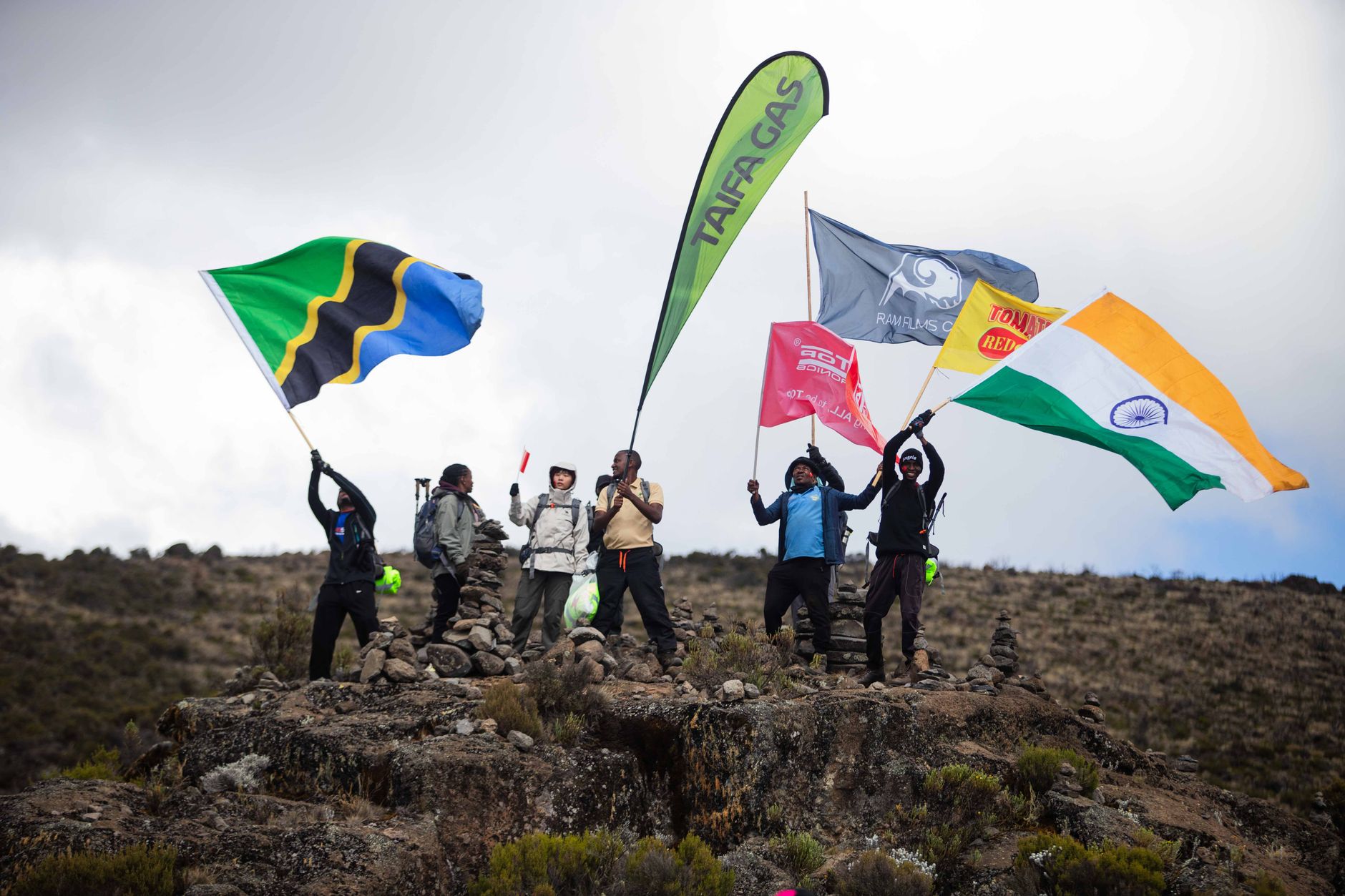
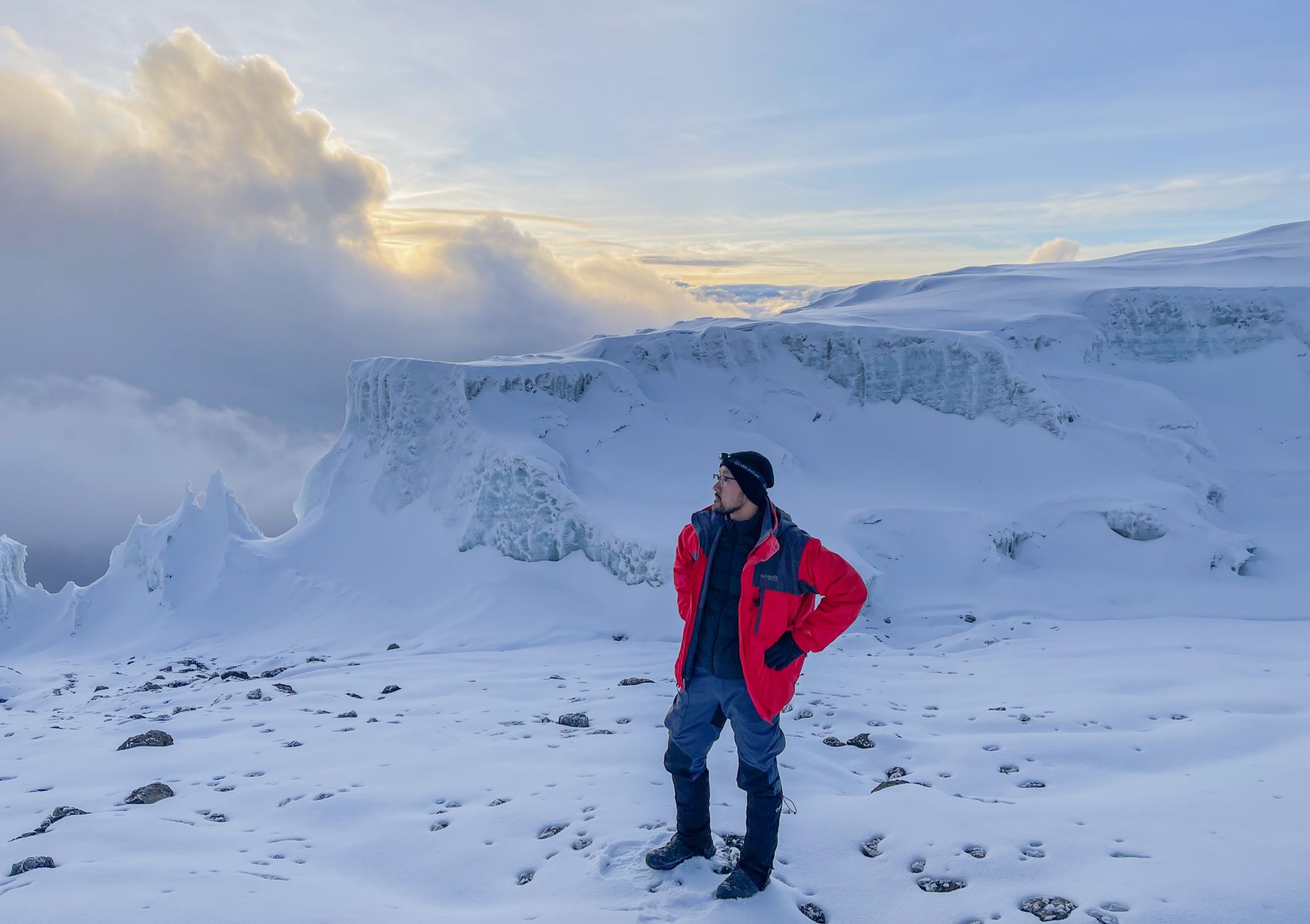
At 5,895 metres, Kilimanjaro stands alone on the East African plateau — no range to prop it up, no neighbouring peak to share the sky. That singular silhouette, rising from savannah to permanent ice, draws around 50,000 trekkers a year to this corner of northern Tanzania, though the region is far more than a mountain with a queue.
Below the summit, the Kilimanjaro Region spreads across volcanic slopes worked for centuries by the Chagga people, whose hand-dug irrigation channels still thread through banana groves and coffee farms. Further east, the Pare Mountains fold into quieter country, and Lake Chala — a crater lake straddling the Kenyan border — sits in near-perfect stillness.
How Kilimanjaro Region came to be
The Chagga people — descended from Bantu-speaking migrants who arrived somewhere between the 12th and 15th centuries — built a sophisticated agricultural civilisation on the mountain's fertile flanks long before any outsider set eyes on the peak. Their mfongo irrigation system sustained entire communities at altitude. European knowledge of Kilimanjaro dates to 1848, when German missionaries Johannes Rebmann and Johann Ludwig Krapf reached the formations. The Kibo summit itself wasn't gained until 1889, by German geographer Hans Meyer and Austrian mountaineer Ludwig Purtscheller.
Kilimanjaro Region was formally established in 1963, the same year Julius Nyerere abolished the Chagga Kingdoms. The national park followed in 1973, protecting the mountain above the tree line and six forest corridors descending through the montane belt. UNESCO added World Heritage status in 1987.
Who and what shaped it
People who shaped it
Landmark buildings
See Kilimanjaro Region in motion
Plan your visit
On the map
When to go
The mountain passes through five distinct climate zones, from warm cultivated lowlands (21–27°C) to an arctic summit where temperatures drop well below freezing at night. Across the region, June through October is the driest and most reliable season; April and May see the heaviest rainfall, and January through March tends to run colder at elevation.
Right now
↡ Cities
Background & history adapted from Wikipedia (CC BY-SA) · specs from Wikidata (CC0) · weather from Open-Meteo · map data © OpenStreetMap contributors · photos from Wikimedia Commons / Unsplash with per-image credit. No third-party reviews or social posts reproduced.