
Kibosho
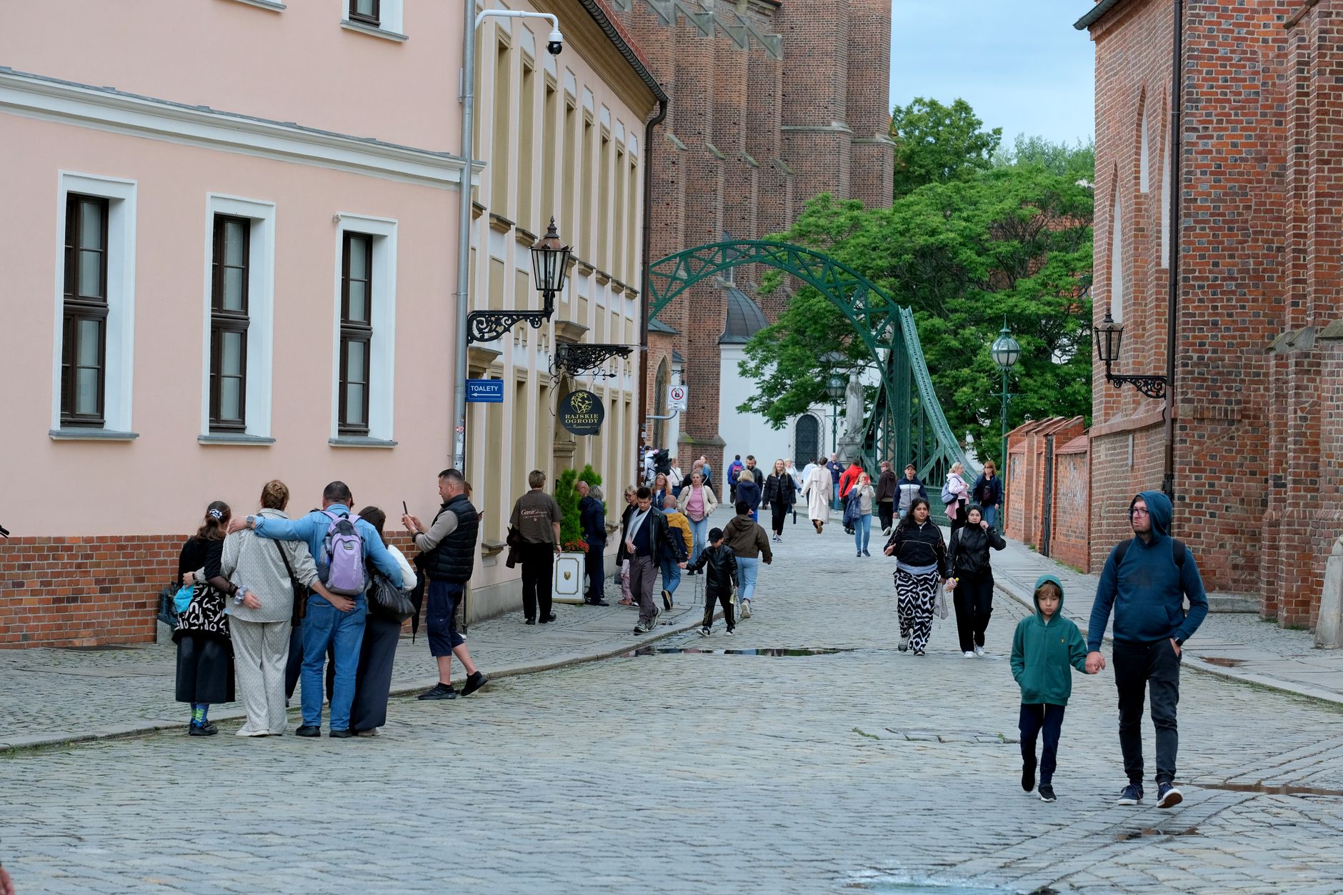
On the south-facing slopes of Kilimanjaro, Kibosho is a place shaped by water and will. A careful system of irrigation channels has kept these hillsides productive for generations — coffee grows here, banana plantations crowd the roadsides, and the stone church built by German missionaries in 1893 still stands among the trees, older than anyone alive in the ward today.
This was once a sovereign Chagga kingdom, and the bones of that history are still visible if you know where to look. The church, the hospital grounds, the memory of a ruler who was, for a time, the most powerful figure on all of Kilimanjaro — Kibosho carries its past quietly, in the landscape as much as in the records.
💛 What travellers fall for
People who come back tend to linger at the Catholic church longer than planned. The 30-minute guided tour routinely stretches. Ask your guide about Mangi Sina — the answers open up a version of Kilimanjaro's history that the mountain itself doesn't tell. The drive from Moshi takes under an hour, and the road through the plantations is reason enough.
Deals in Kibosho
Book directly at the provider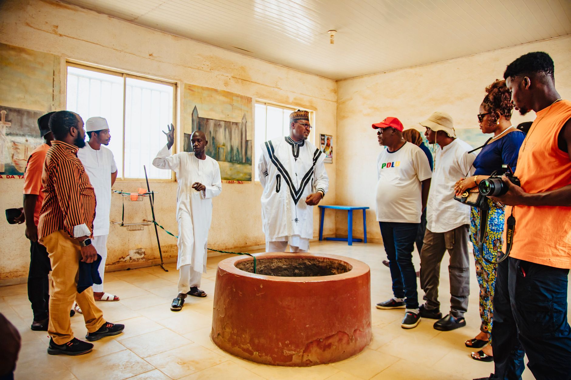


How Kibosho came to be
Three clans — the Msele-Kiwoso, Masawe, and Kulaya — are considered the oldest settled families in Kibosho, with the Msele-Kiwoso thought to predate even the arrival of the royal Orio clan by five generations. The kingdom grew in reach and ambition through the nineteenth century, and by the 1880s its ruler, Mangi Sina, commanded enough influence to be considered the dominant power across the Kilimanjaro chiefdoms. He kept his warriors under strict discipline and housed them in a stone palace — unusual in the region at that time.
On February 12, 1891, German forces under Major Hermann von Wissmann fought the Battle of Kibosho against Sina's kingdom. Two years later, in 1893, Roman Catholic missionaries established a permanent presence, building the stone church that still stands. After 1900, the chiefdom's power contracted sharply. The mission became the dominant institution — it founded a hospital in 1929 and a girls' secondary school in 1965.
Who and what shaped it
People who shaped it
Landmark buildings
See Kibosho in motion
Plan your visit
On the map
When to go
June and July are the driest and sunniest months, with temperatures sitting around 23–25°C during the day and dropping to the low teens at night — comfortable walking weather. March and April bring the heaviest rains, and February, the warmest month, can push close to 30°C by afternoon.
Right now
Background & history adapted from Wikipedia (CC BY-SA) · specs from Wikidata (CC0) · weather from Open-Meteo · map data © OpenStreetMap contributors · photos from Wikimedia Commons / Unsplash with per-image credit. No third-party reviews or social posts reproduced.