
Cua Duong
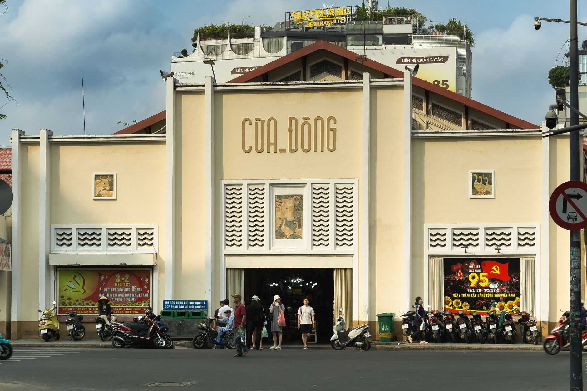


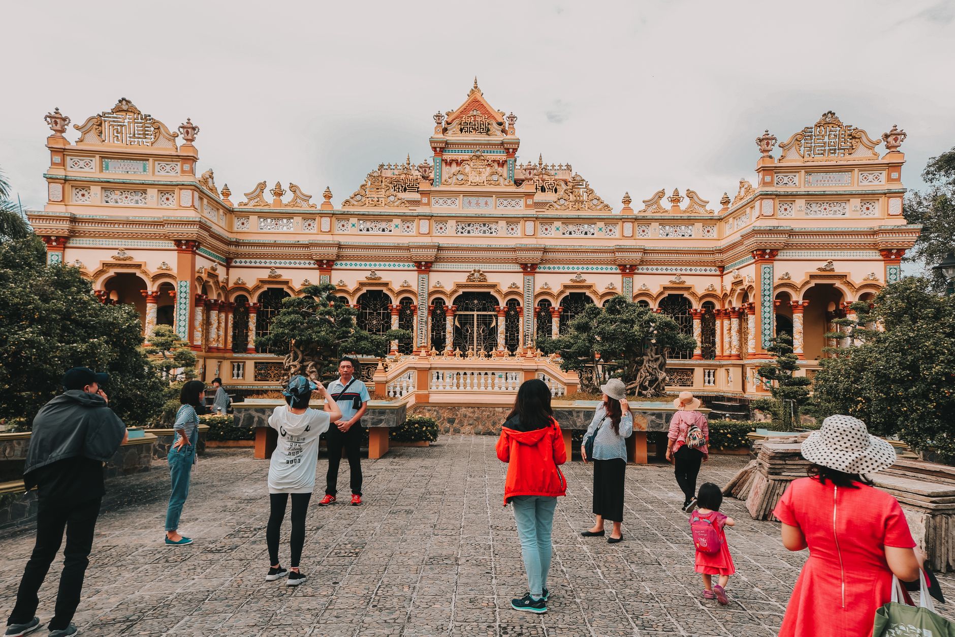
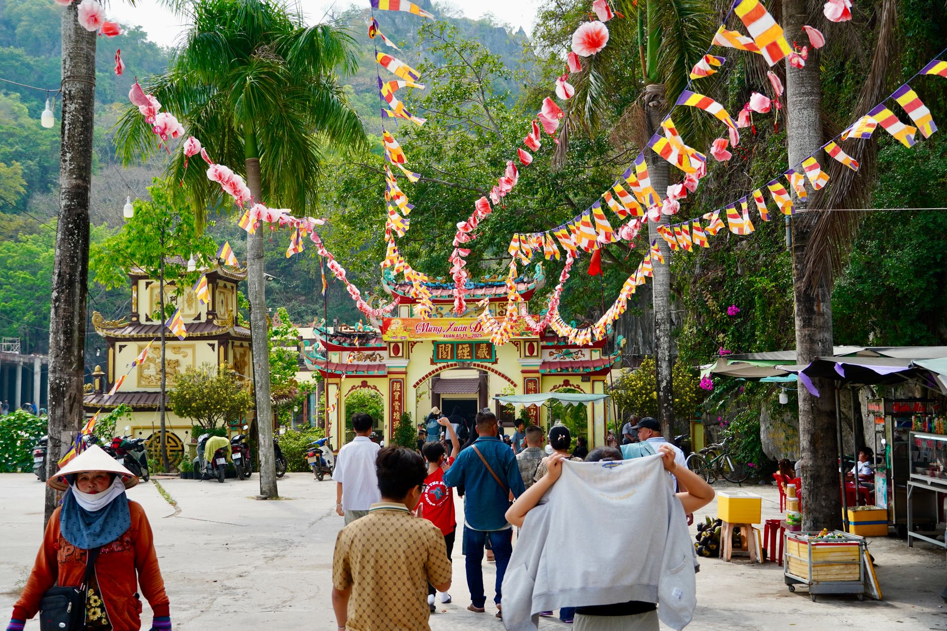
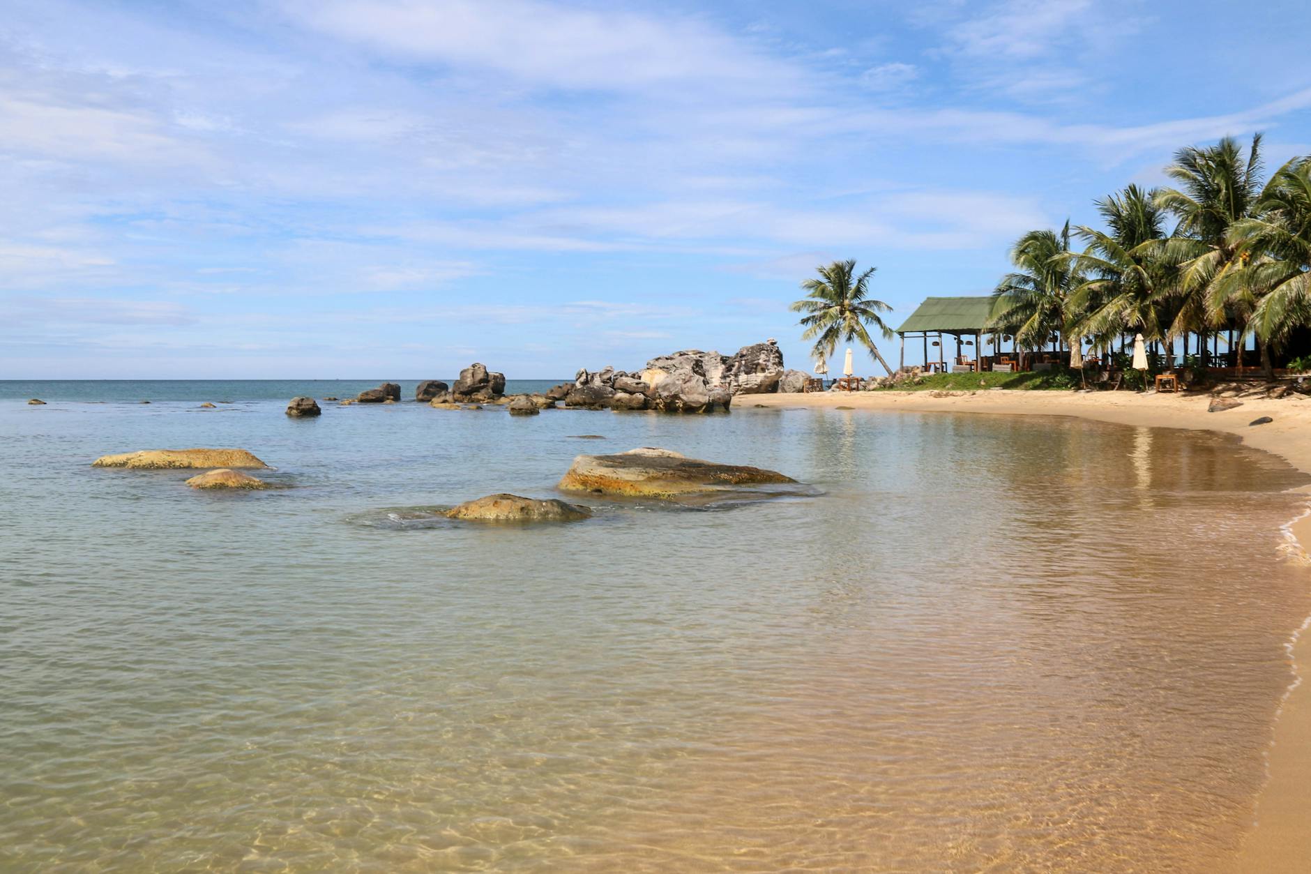
Cua Duong sits on the eastern edge of Phu Quoc Island, where the water runs an unusual shade of turquoise — clear enough that you can watch fish move below the surface from the shore. It is one of four protected areas on the island open to camping, hiking, and bird-watching, and the trails here are the kind you cover by bicycle or on foot, along dirt roads that cut through forest rather than resort grounds.
The beaches near the village settlements come with more infrastructure than solitude, which is a fair trade if you want a base from which to push deeper into the protected land. Kayaking is possible, and the pace of the place rewards that kind of unhurried movement.
💛 What travellers fall for
People who return to Cua Duong tend to come back for the protected trails rather than the beaches. Bring a bicycle if you can arrange one from town — the dirt roads through the forested sections are the quieter side of Phu Quoc that most visitors on the western coast never find.
Deals in Cua Duong
Book directly at the provider
How Cua Duong came to be
Cua Duong is one of seven communes that make up Phu Quoc Island, a place whose administrative shape has continued to shift in recent years. On June 16, 2025, Phu Quoc became a special administrative zone — a designation that reflects the pace of change across the island as a whole.
No founding date for Cua Duong itself has been reliably documented, and the commune's story is less one of monuments or named founders than of a fishing and farming community that has found itself inside one of Vietnam's most protected natural areas.
Who and what shaped it
Landmark buildings
See Cua Duong in motion
Plan your visit
On the map
When to go
The dry season runs October through April, with average temperatures around 27–28°C and humidity near 78% — the clearer, more walkable months. April and May push toward 35°C before the rains arrive; from May to September, expect cloud cover, 85–90% humidity, and roughly 414mm of rainfall per month.
Right now
Background & history adapted from Wikipedia (CC BY-SA) · specs from Wikidata (CC0) · weather from Open-Meteo · map data © OpenStreetMap contributors · photos from Wikimedia Commons / Unsplash with per-image credit. No third-party reviews or social posts reproduced.