
Bávaro
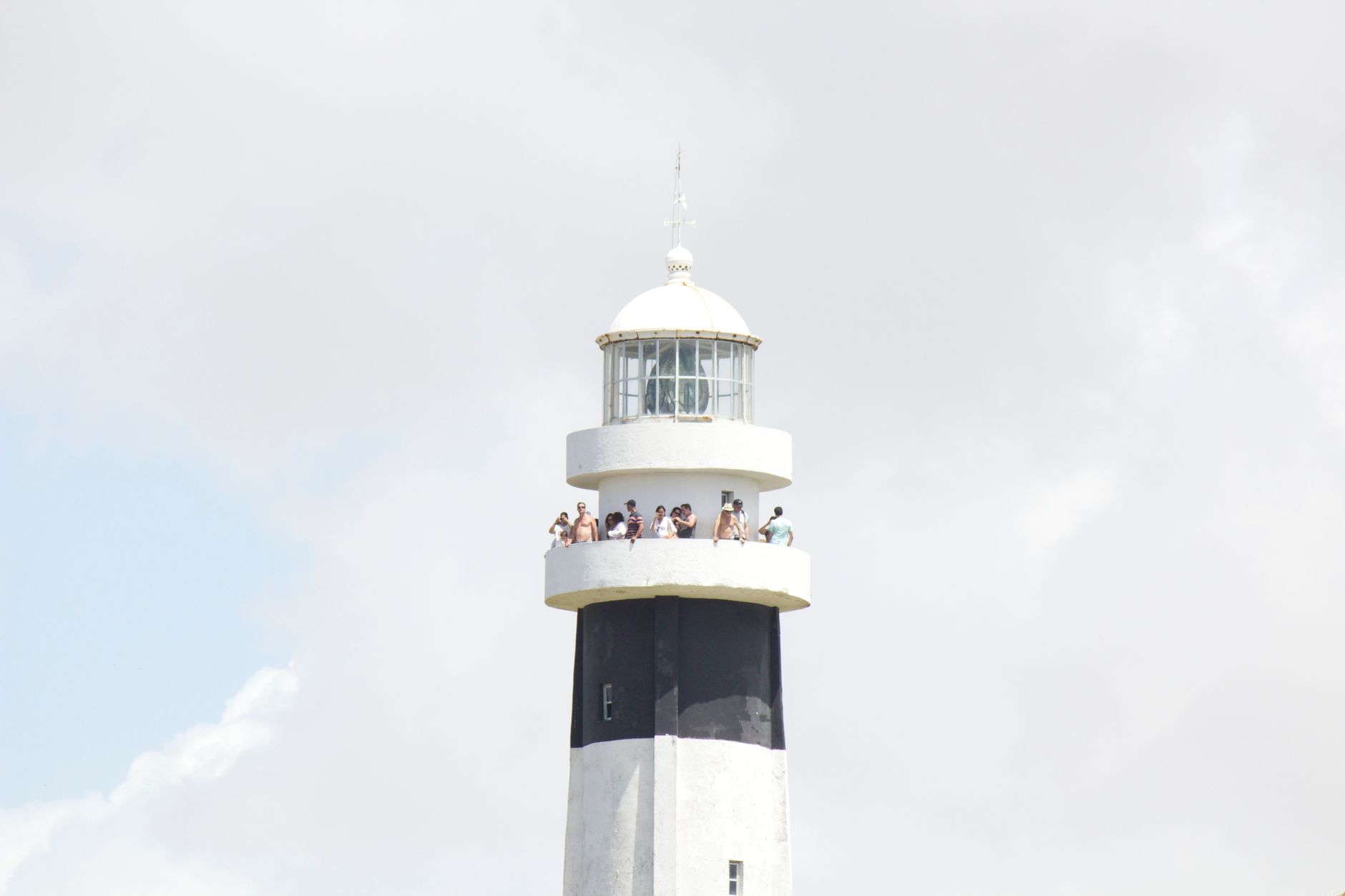
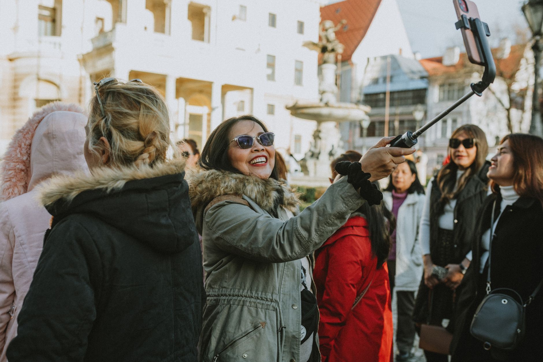
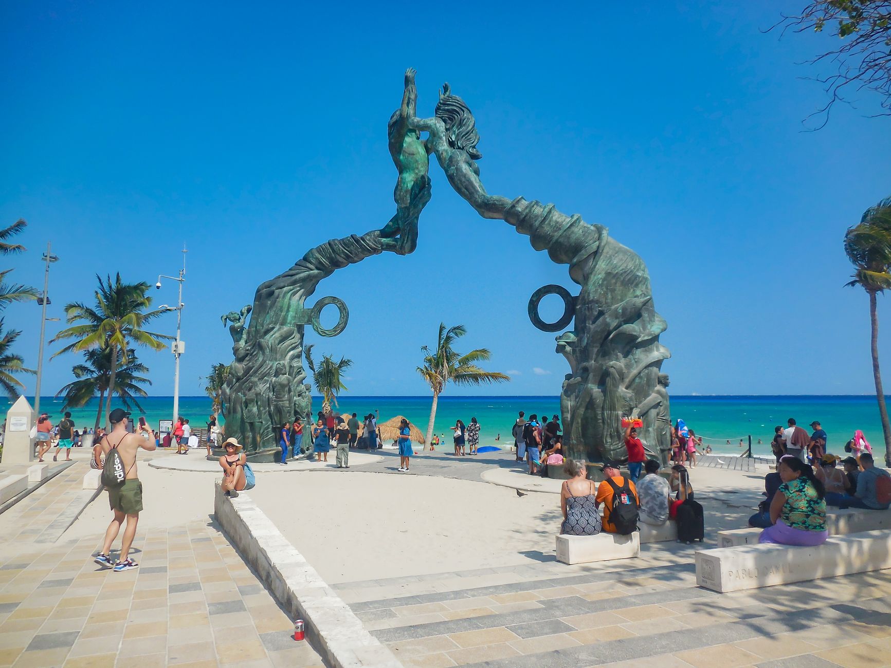
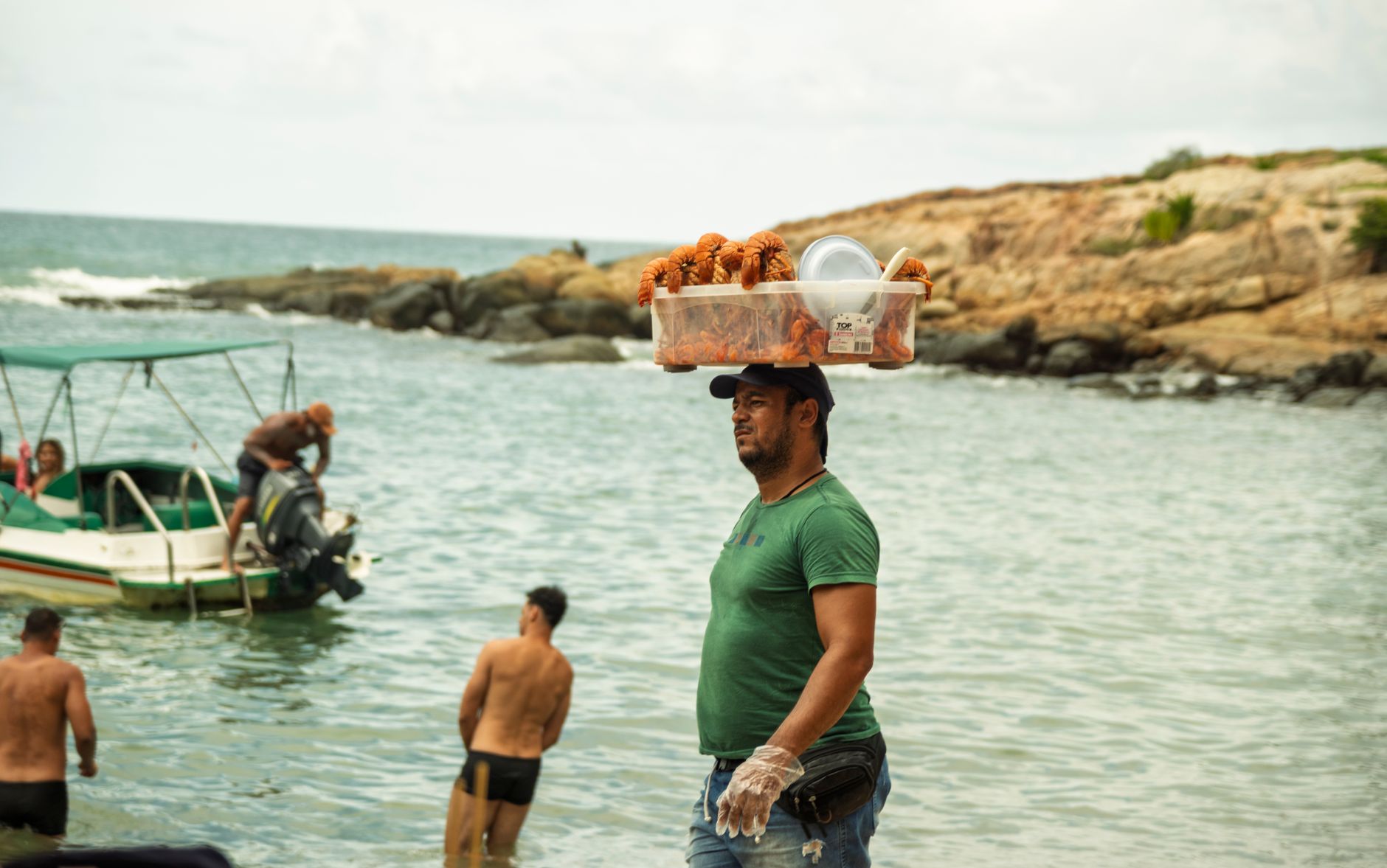
Bávaro is where the Dominican Republic's eastern coast does what it does best: forty-eight kilometres of reef-sheltered sand lined with coconut palms so dense they shade the shoreline into something close to cool. The beach runs nearly unbroken, the water stays warm year-round, and the coral offshore keeps the surf gentle enough to wade into without ceremony.
Beneath the resort layer, though, Bávaro is a working town. The Friusa crossroads at its centre is ringed with pharmacies, guagua stops and local lunch spots. El Cortecito, the oldest beach zone, still has narrow streets and open-air bars where the music starts before sundown. Both things are true here at once.
Experiences you don't want to miss


How Bávaro came to be
Before the 1970s, this stretch of coast was largely coconut plantation, known locally as Yauya or Punta Borrachos. Dominican entrepreneur Frank Rainieri and New York attorney Theodore Kheel acquired a 58-million-square-metre parcel in the late 1960s, renamed the area Punta Cana, and began the slow work of turning remote coastline into a destination. Punta Cana International Airport opened in 1984, and a year later the first international hotel brand arrived on Bávaro Beach, pulling the local economy away from artisanal trades and toward hospitality.
Bávaro itself grew organically alongside the resorts — workers needed somewhere to live, and a town assembled itself around that need. By the 1990s, with the Barceló Bávaro Grand Resort established and golf courses under construction, the region's character was set: large-scale tourism infrastructure on the beachfront, a dense residential and commercial town behind it.
Who and what shaped it
People who shaped it
Landmark buildings
See Bávaro in motion
Plan your visit
On the map
When to go
December to March brings the most settled weather — dry, warm, and reliably sunny, with daytime highs around 27–28°C. The wet season runs May through November; September is the rainiest month, though downpours here tend to be short and heavy, often clearing by evening.
Right now
Background & history adapted from Wikipedia (CC BY-SA) · specs from Wikidata (CC0) · weather from Open-Meteo · map data © OpenStreetMap contributors · photos from Wikimedia Commons / Unsplash with per-image credit. No third-party reviews or social posts reproduced.