
Barakaldo
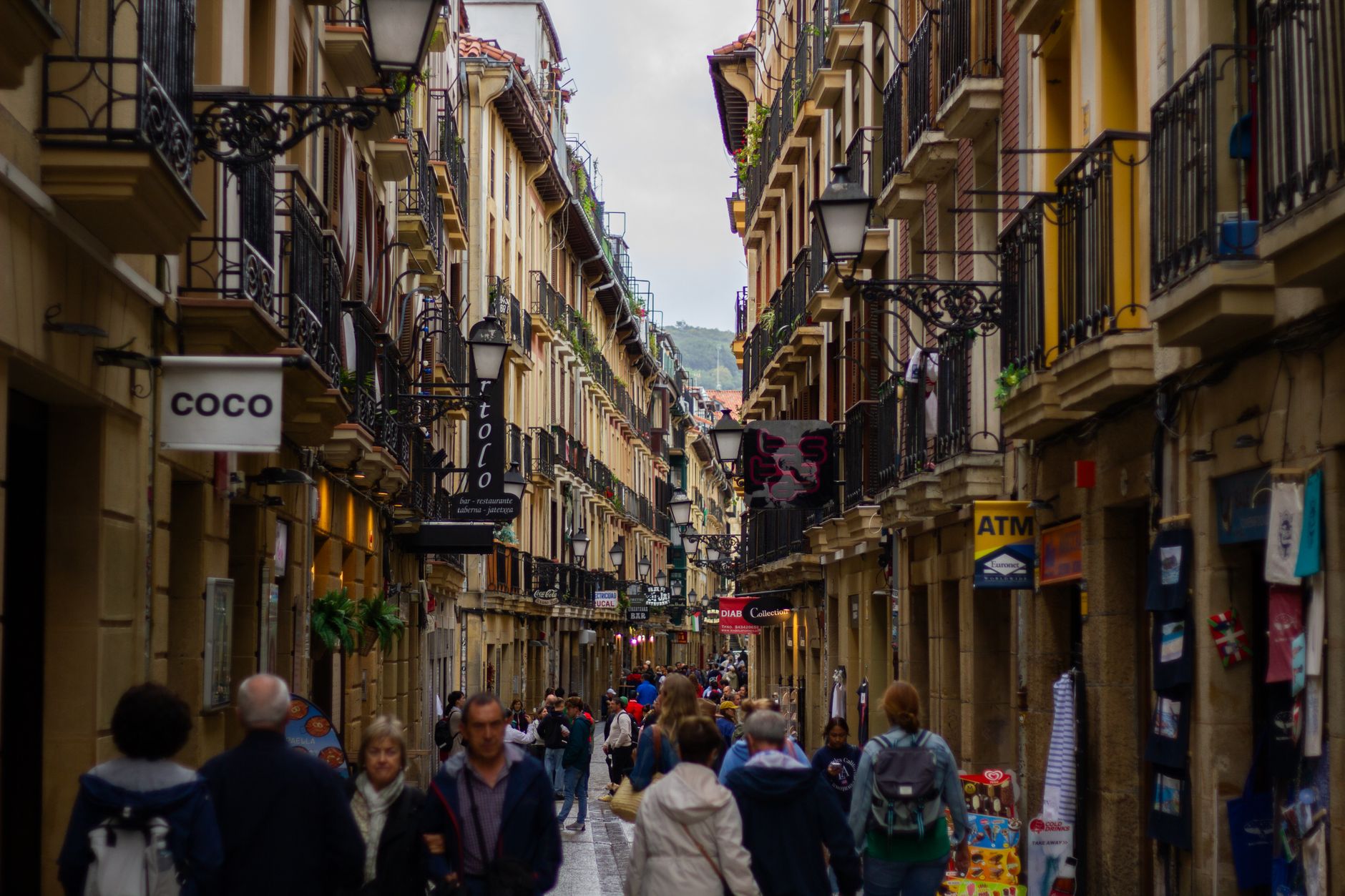
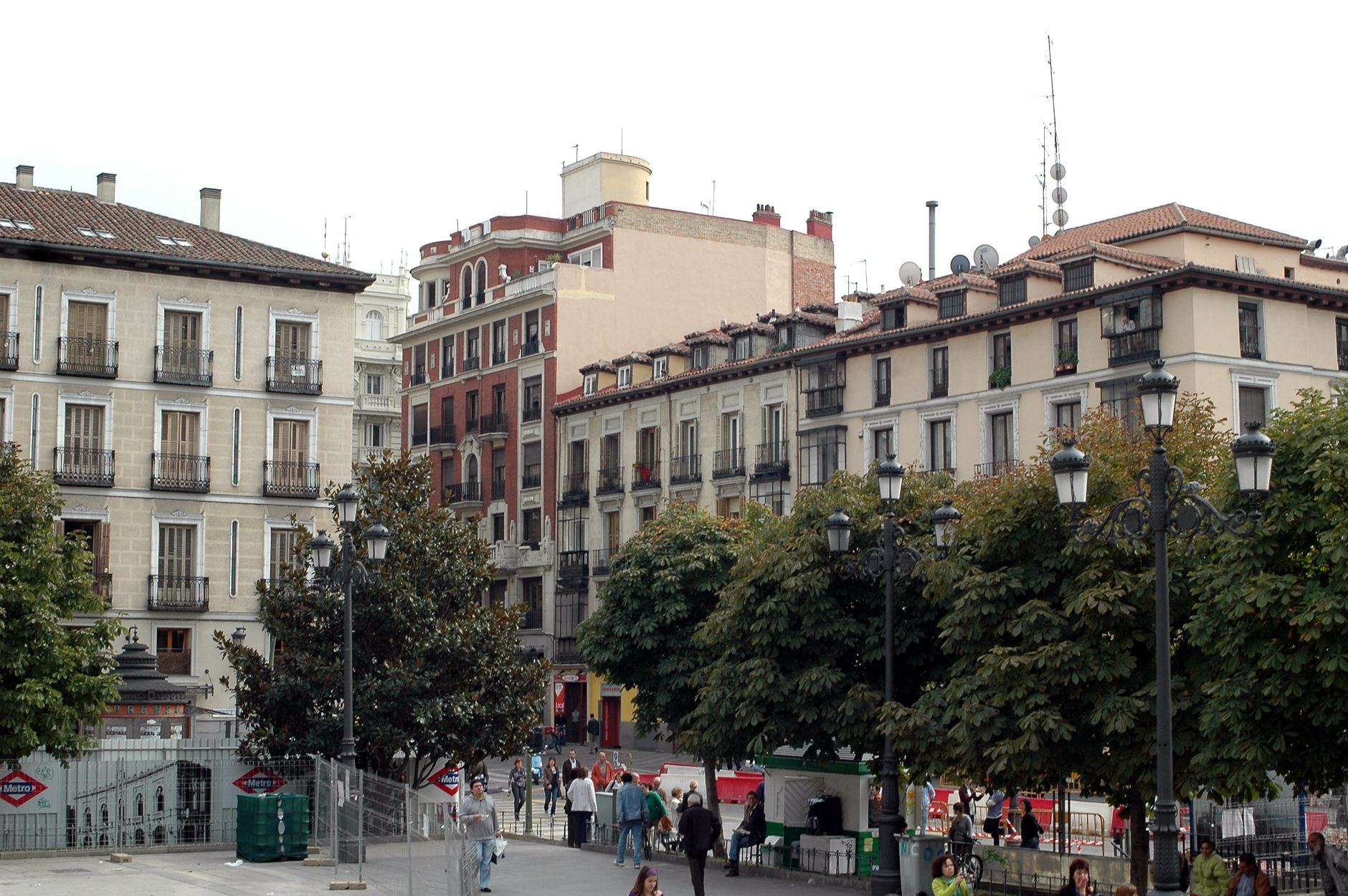
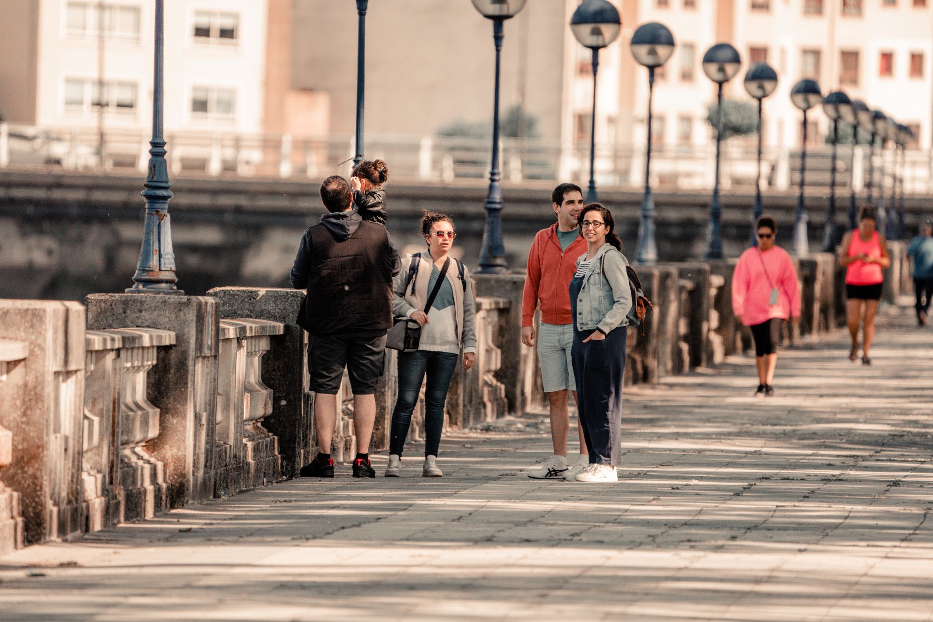
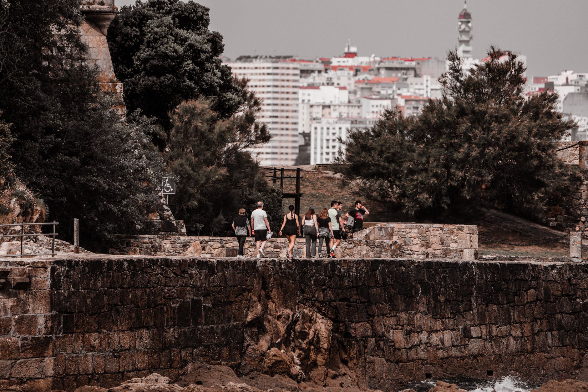
The Ilgner Building gives you the first clue. Its brick facade and oversized factory windows face the confluence of the Galindo River and the Bilbao estuary — a reminder that Barakaldo spent most of the twentieth century as one of the great industrial engines of Spain, home to Altos Hornos de Vizcaya, the steel giant that drew workers from across the country and made this the most populated non-capital city in the country.
The furnaces are cold now, and what replaced them is a different kind of city: metro lines, a 60,000-square-metre botanical garden built on reclaimed land, an arena that hosted the 2014 FIBA Basketball World Cup, and a street — Calle Zaballa — where pintxos bars do a steady trade on weekend evenings.
💛 What travellers fall for
People who come back tend to go straight to El Regato. The reservoir, the frontón court, the sense that this is where the city exhales — it doesn't read like a tourist stop, which is exactly why it works. Calle Murrieta is worth a slow walk too, for the modernist and Neo-Basque facades that Santos Zunzunegui left between 1914 and 1924.
Experiences you don't want to miss



Deals in Barakaldo
Book directly at the provider

How Barakaldo came to be
A lord was granted the title of Señor de Barakaldo in 1051, and by 1340 Don Sancho López de Barakaldo had founded the Church of San Vicente, which still stands. For most of the following centuries the area was quiet enough that two separate attempts to build a village and port near the estuary — one by the Constable Don Pedro Fernández Velasco, another by his son — both came to nothing.
The mid-nineteenth century changed everything. By 1864 three factories were operating, and the Ibarra family's steelworks at the mouth of the Galindo became the seed of Altos Hornos de Vizcaya, formed in 1882. The population grew at a pace that made planners scramble. The 1980s brought recession, the steel industry contracted sharply, and the city has been remaking itself — botanical gardens, exhibition centres, protected housing — ever since.
Who and what shaped it
People who shaped it
Landmark buildings
See Barakaldo in motion
Plan your visit
On the map
When to go
Barakaldo is temperate but genuinely wet: 1,149 mm of rain falls across the year, with November the heaviest month at 143 mm. Summers are the clear exception — warm, relatively dry, and the most comfortable time to be outside.
Right now
Background & history adapted from Wikipedia (CC BY-SA) · specs from Wikidata (CC0) · weather from Open-Meteo · map data © OpenStreetMap contributors · photos from Wikimedia Commons / Unsplash with per-image credit. No third-party reviews or social posts reproduced.