
Turbaco
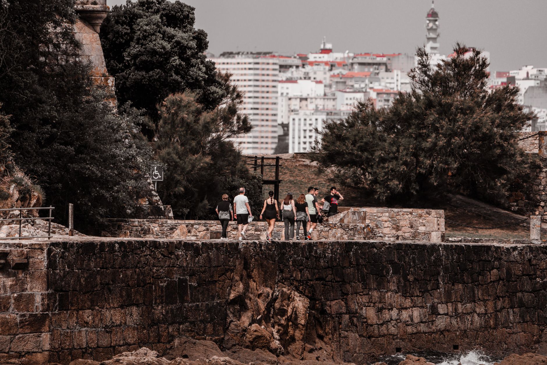
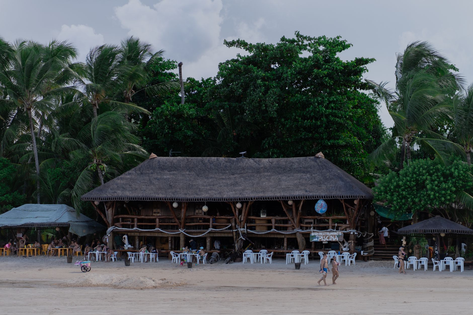
Turbaco sits on a ridge 182 metres above sea level, close enough to Cartagena de Indias to see its lowland haze but far enough to feel the air change. The hills here carry lush vegetation, fried food smoke drifts from market stalls, and somewhere on the edge of town a field of mud volcanoes quietly bubbles at the surface of the earth.
Locals call themselves Los Tira Piedra — the Stone Throwers — a nickname that carries a certain bluntness you notice in the place itself. This is a working municipality of nearly a hundred thousand people, not a day-trip backdrop, and the distinction shows in the market, the churches, and the December bull festivals that belong entirely to its own calendar.
💛 What travellers fall for
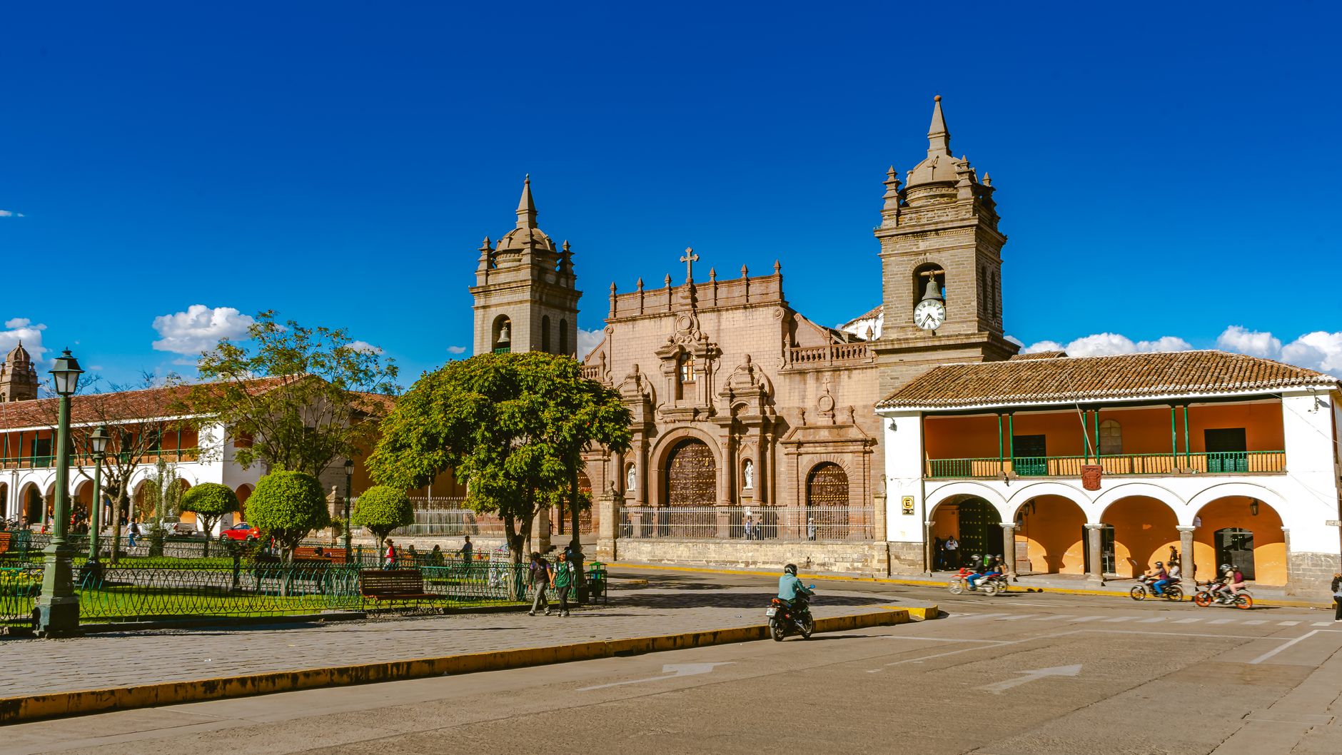
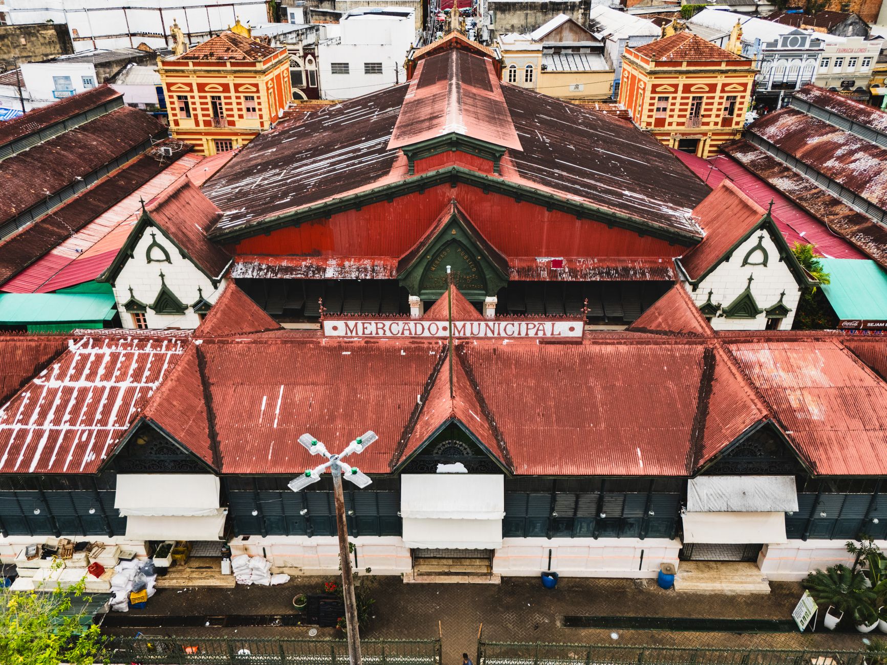
People who come back tend to time it around the mud pools at Casa Anchivé — go early before the heat peaks. The Mercado Turbaco is worth a slow circuit for arepas de huevo and carimañolas, and the walk between the two colonial churches gives you a read on the town's pace that no single site alone provides.
Experiences you don't want to miss




Deals in Turbaco
Book directly at the provider


How Turbaco came to be
The name Turbaco comes from the Zenú language and translates as 'land of the jaguars,' pointing to a pre-colonial significance that long preceded any Spanish map. The Spanish arrived with force: in 1510, the explorer and cartographer Juan de la Cosa was mortally wounded here, one of the earliest recorded European deaths on the South American mainland. Pedro de Heredia brought the area under colonial control in 1533, and it settled into an agricultural role — tobacco and sugar cane grown on land the Zenú had known for generations.
Centuries later, Turbaco appeared in a stranger chapter of history. Antonio López de Santa Anna, the Mexican general who served multiple terms as president of Mexico, spent two separate periods of exile here — 1850 to 1853, and again 1855 to 1857 — living out political disgrace in the Colombian hills above the Caribbean.
Who and what shaped it
People who shaped it
Landmark buildings
See Turbaco in motion
Plan your visit
On the map
When to go
The temperature barely moves across the year, holding around 27°C with humidity that makes the heat feel closer than the number suggests. February is dry and relatively breezy — the easiest month to be outside; October brings the heaviest rains, averaging over 250 mm, so plan indoor time accordingly.
Right now
Background & history adapted from Wikipedia (CC BY-SA) · specs from Wikidata (CC0) · weather from Open-Meteo · map data © OpenStreetMap contributors · photos from Wikimedia Commons / Unsplash with per-image credit. No third-party reviews or social posts reproduced.