
Tortuguero National Park


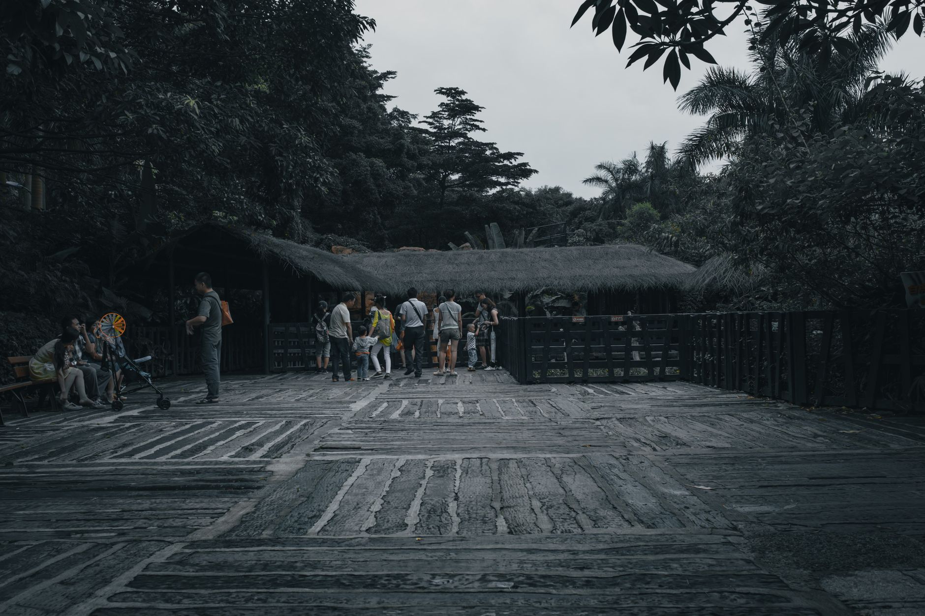

There are no roads into Tortuguero, and that fact shapes everything. You arrive by boat — a flat-bottomed lancha threading through a 80-kilometre canal system that connects natural rivers with stretches dug by hand in the 1960s — and you step out onto a sandbar village of about 500 people where the only vehicles are the boats still idling at the dock.
The park exists almost entirely on water. Its 76,000-plus hectares divide roughly between land and sea, and the canals are the corridors. Green sea turtles have been hauling themselves onto these beaches since long before the park was declared in 1970, and watching that still happens here, in the dark, on a guided night walk along the black-sand shore.
💛 What travellers fall for
People who return tend to time a second trip for September — the rains thin out to roughly one day in five, the green turtle nesting is winding down, and the beaches fill with hatchlings making their first run to the water. Miss Junie's is the name that comes up most for dinner. Bring cash; the grocery store with the concrete turtles out front is the closest thing to an ATM.
How Tortuguero National Park came to be
The village of Tortuguero was founded in 1912 by the Walton Martinez family, who came from Colombia to export coconuts and sea turtles. American timber companies followed in the 1940s to work the forest. By the late 1960s, a canal system had been cut to connect the coast from Limón north to Tortuguero — infrastructure built for extraction that now serves as the park's main artery.
The conservation turn came through the Caribbean Conservation Corporation, founded in 1959 specifically to study and protect sea turtles. Their tagging programme, started in the 1950s, is still running. The national park was declared on September 24, 1970, and its boundaries have been extended three times since — in 1980, 1995, and 1998 — growing to encompass more than 50,000 hectares of marine territory. The CCC is now called the Sea Turtle Conservancy, and its visitor centre in the village, open for a dollar admission, traces the whole arc of that work.
Who and what shaped it
People who shaped it
Landmark buildings
See Tortuguero National Park in motion
Plan your visit
On the map
When to go
Tortuguero is one of the wettest places in Costa Rica — up to 6,400 mm of rain a year — so the question is never whether it rains but how much. March through May brings the lightest rainfall and is the most practical window for canal tours; September is the driest single month and coincides with hatching season, making it the quiet favourite among repeat visitors.
Right now
Background & history adapted from Wikipedia (CC BY-SA) · specs from Wikidata (CC0) · weather from Open-Meteo · map data © OpenStreetMap contributors · photos from Wikimedia Commons / Unsplash with per-image credit. No third-party reviews or social posts reproduced.