
Tikal National Park
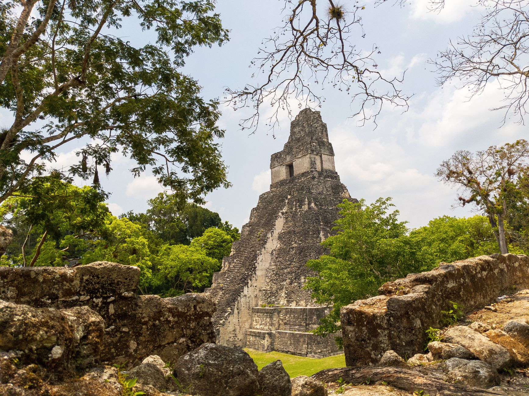
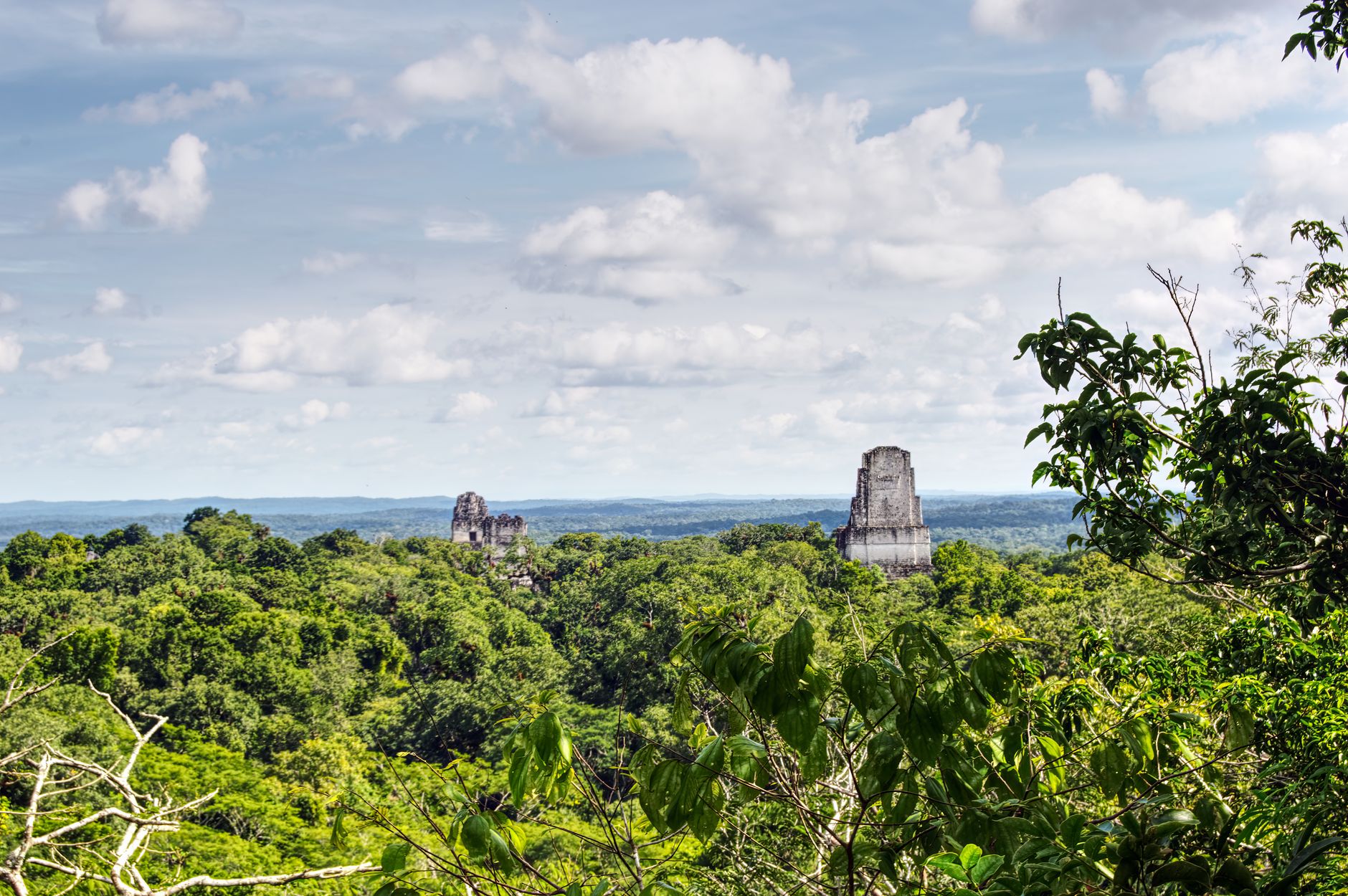
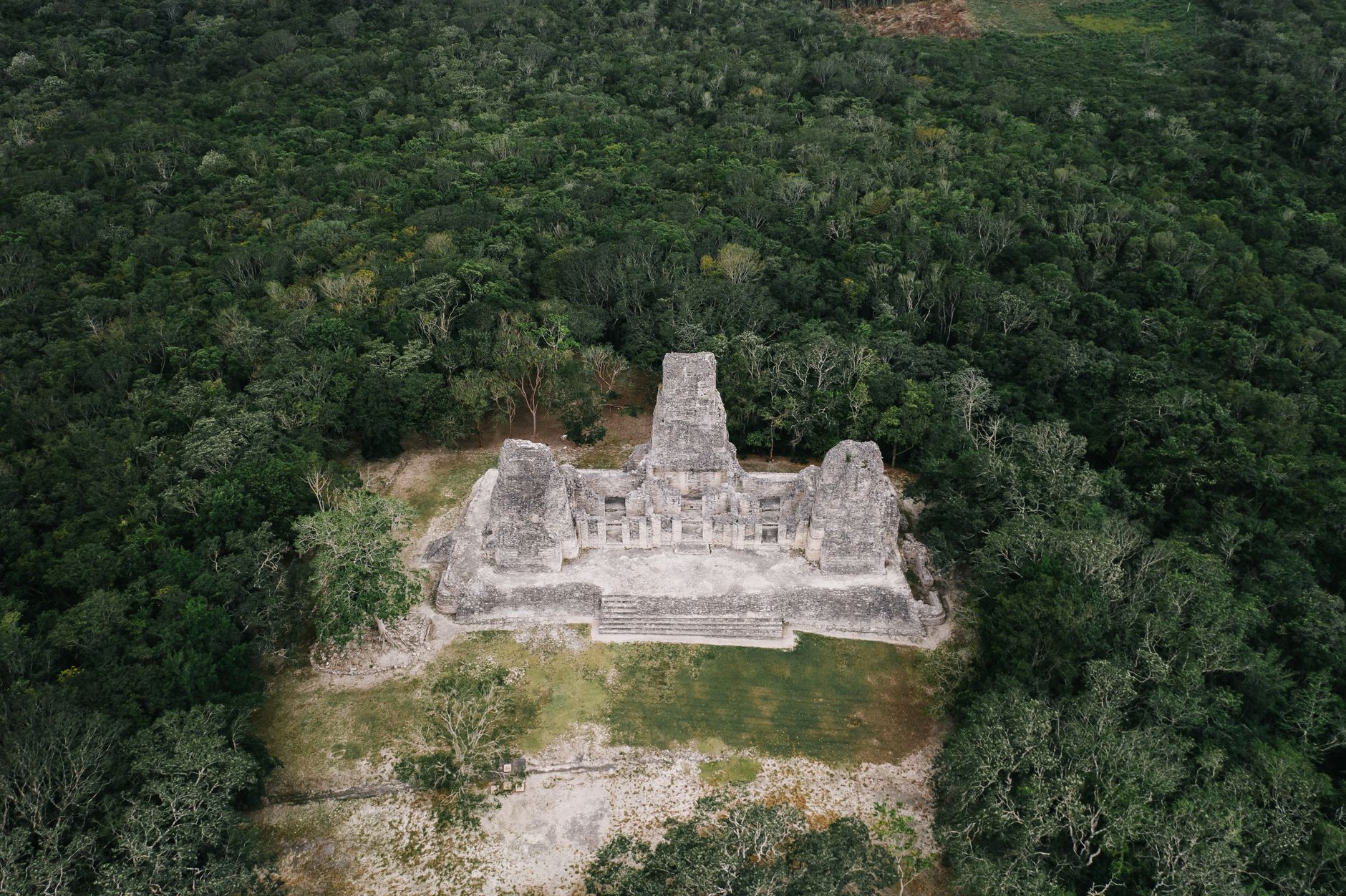
Stand at the Great Plaza as the mist burns off the canopy and Temple I rises 45 metres above you — a limestone mass so vertical it seems to lean into the sky. Howler monkeys carry across the treetops, and the jungle presses right to the edge of the cleared stone. This is a city, not a monument: Tikal once covered more than 16 square kilometres, with around 3,000 structures ranging from royal palaces to residential platforms, most of them still swallowed by the Petén forest.
The scale takes time to register. A day gets you the main temples and the Great Plaza; two days lets you reach the outlying complexes and walk the quieter trails where the archaeology thins and the wildlife thickens.
How Tikal National Park came to be
People have lived in this part of the Petén lowlands since around 900 BC, but the monumental building began in the 4th century BC. The first dynasty was established around 90 AD by a ruler named Yax Ehb' Xook — First Step Shark — whose lineage held for more than 30 successive kings. Tikal's Classic Period peak ran roughly 200–900 AD, during which its limestone temples grew taller and its influence spread across the Maya world.
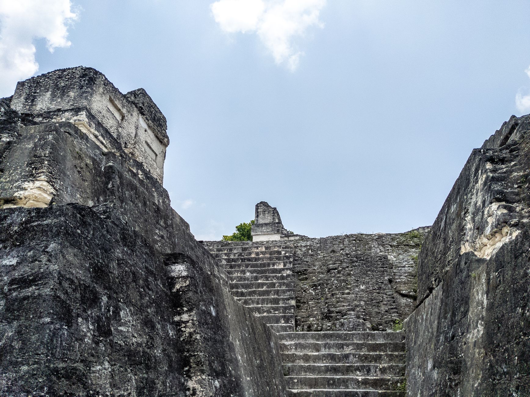
The ruler Jasaw Chan K'awil, who came to power in 682 AD, drove much of that final flowering: Temple I, at 45 metres, marks his own tomb. Temple II was built in honour of his wife. By the end of the 10th century the city had been abandoned. It wasn't until 1848 that the site was formally rediscovered, and systematic mapping and excavation only began in earnest with the University of Pennsylvania's Tikal Project between 1956 and 1970. UNESCO designated it a World Heritage Site in 1979.
Who and what shaped it
People who shaped it
Landmark buildings
See Tikal National Park in motion
Plan your visit
On the map
When to go
Tikal sits in a tropical monsoon zone at low elevation, which means heat and humidity year-round — April days can reach 37°C before the rains arrive. The dry months from November through February are cooler and more comfortable for walking, though even then midday is punishing; early morning entry earns you the best light and the worst of neither the heat nor the crowds.
Right now
Background & history adapted from Wikipedia (CC BY-SA) · specs from Wikidata (CC0) · weather from Open-Meteo · map data © OpenStreetMap contributors · photos from Wikimedia Commons / Unsplash with per-image credit. No third-party reviews or social posts reproduced.