
Stillachtal (Stillach Valley)
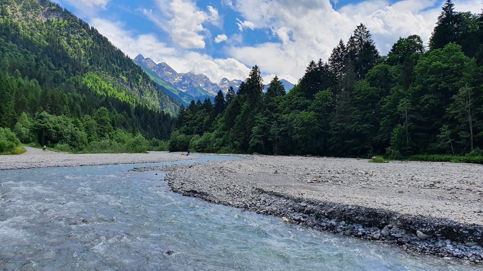
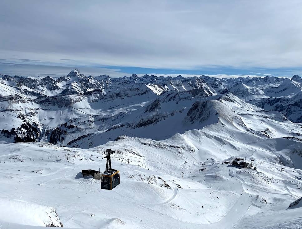
The Stillach river moves quietly through its valley — quietly enough that the name stuck, a description of the water's temperament in the wide Oberstdorf basin before the mountains close in. The road south from town passes the Heini-Klopfer ski-flying hill, then the Fellhorn cable car station at Faistenoy, then Birgsau, and then the tarmac runs out. From there it's your feet and a path that follows the river another six or seven kilometres before the terrain turns serious.
At the far end of that walk stands Einödsbach, a mountain inn with settlement records going back to 1613 and a claim that matters on maps: Germany's southernmost permanently inhabited building. The valley holds all of this — a hydroelectric plant, a chapel dedicated to St. Catherine, a small wayside shrine to St. Wendelin the shepherd's patron — without making a fuss about any of it.
💛 What travellers fall for
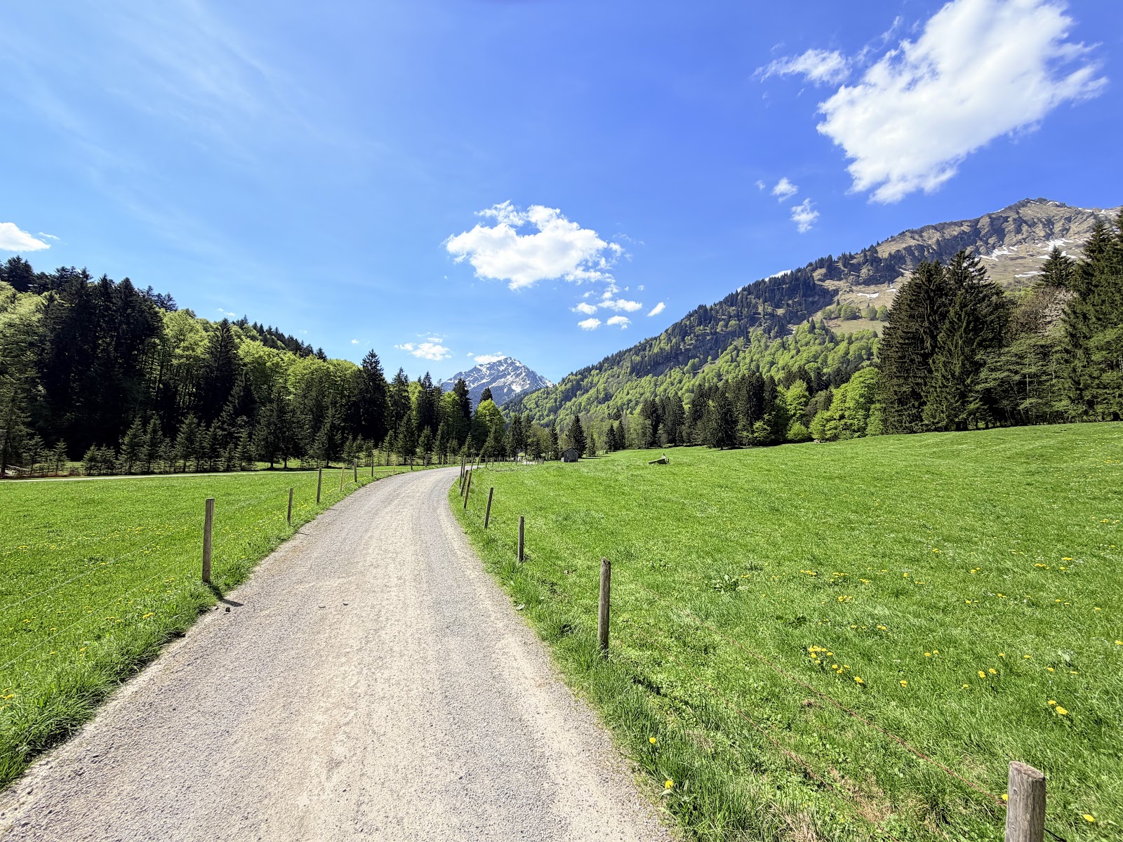
People who come back tend to time the walk for a weekday morning, when the first three flat kilometres feel genuinely unhurried. They stop at the alpine dairy at Eschbach, note the old Lady Chapel, and pace themselves to reach Einödsbach for a late lunch. The Freibergsee, at 930 metres and 18 hectares, is the detour worth building a warm afternoon around.
The story behind Stillachtal (Stillach Valley)
The Stillach river appears in written records from 1424, making it one of the older documented waterways in the Allgäu. The valley it carves — also known as Birgsautal — was settled in pieces over the following two centuries. Einödsbach, at the valley's furthest reach, has records of permanent habitation from 1613, a date that anchors just how long people have chosen to live at the edge of what the landscape allows.
The municipality of Oberstdorf later built the Warmatsgundkraftwerk hydroelectric plant in the valley, threading modern infrastructure into terrain that had changed little for generations. Public transport arrived in the mid-1970s, extending a bus line to Faistenoy and eventually Birgsau — opening the valley to day visitors without altering the fact that the last stretch to Einödsbach still requires walking.
Good to know
The Oberstdorf-Stillachtal bus runs to Birgsau, stopping at Renksteg, the ski-flying hill, and Faistenoy along the way. Private cars don't go beyond the Fellhorn cable car station. Einödsbach is a 45-minute walk from Birgsau. The valley suits all fitness levels; the first stretch is pushchair-flat.
Summers are mild and the walking season runs roughly from late spring through early autumn, though afternoon thunderstorms are common in July and August. Winter brings heavy snow; the ski-flying hill comes into its own then, but the valley path beyond Birgsau is for experienced winter walkers only.
Where is Stillachtal (Stillach Valley)?
More tickets & tours for Stillachtal (Stillach Valley)
Book directly at the provider
What travellers say about Stillachtal (Stillach Valley)
It was a great experienced
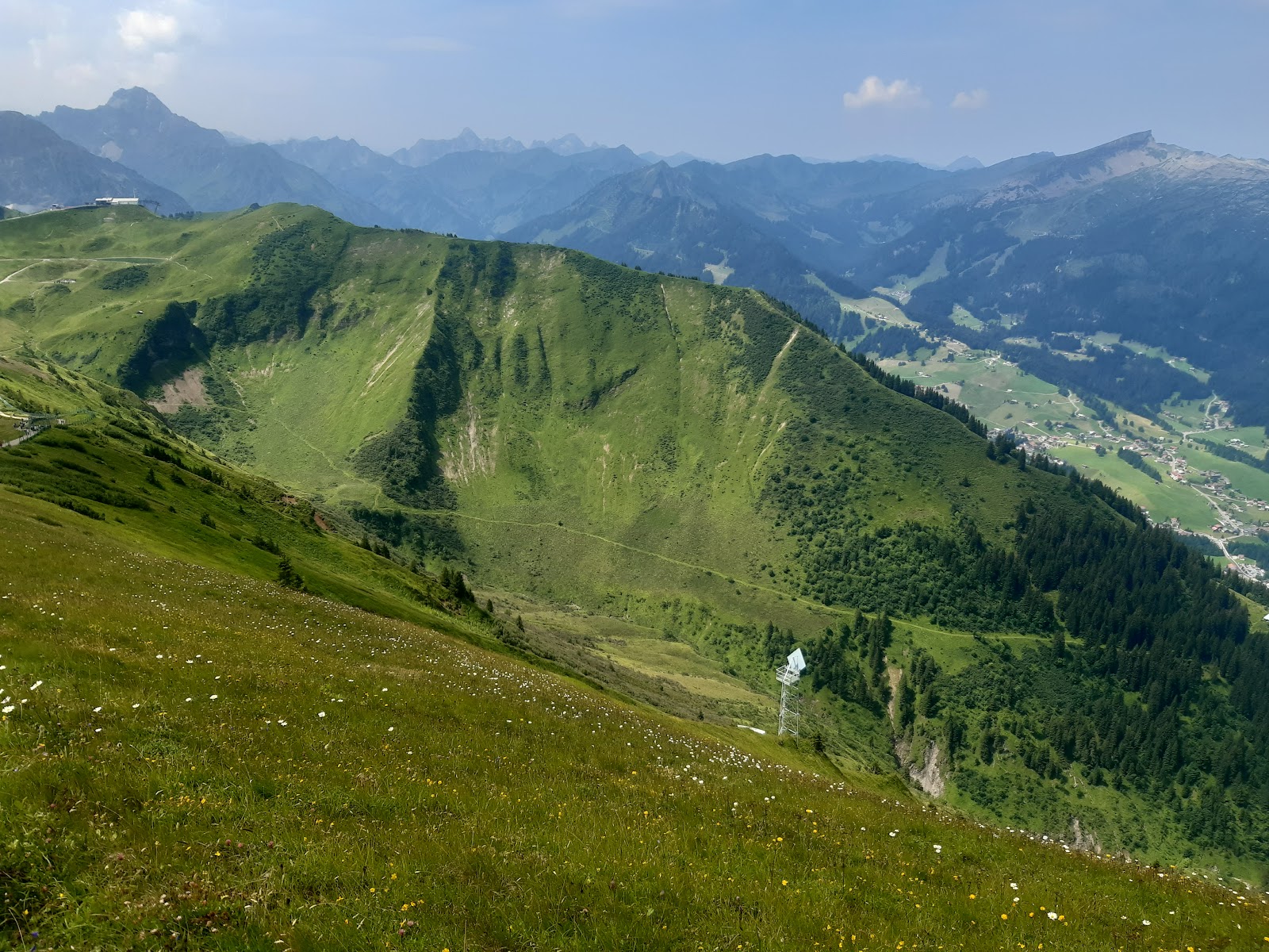
A beautiful hiking area in the Stillach Valley near Oberstdorf! We went with our family and were thrilled by the scenery – clear rivers, impressive mountains, and a very peaceful atmosphere. The trail is also well-suited for beginners. The hike there took us about two hours, and the return trip took us about an hour, as we took a different, slightly shorter route. Overall, a very pleasant and easy hike. The landscape is truly breathtaking and perfect for relaxing and enjoying time with family. Highly recommended – we'll definitely be back!
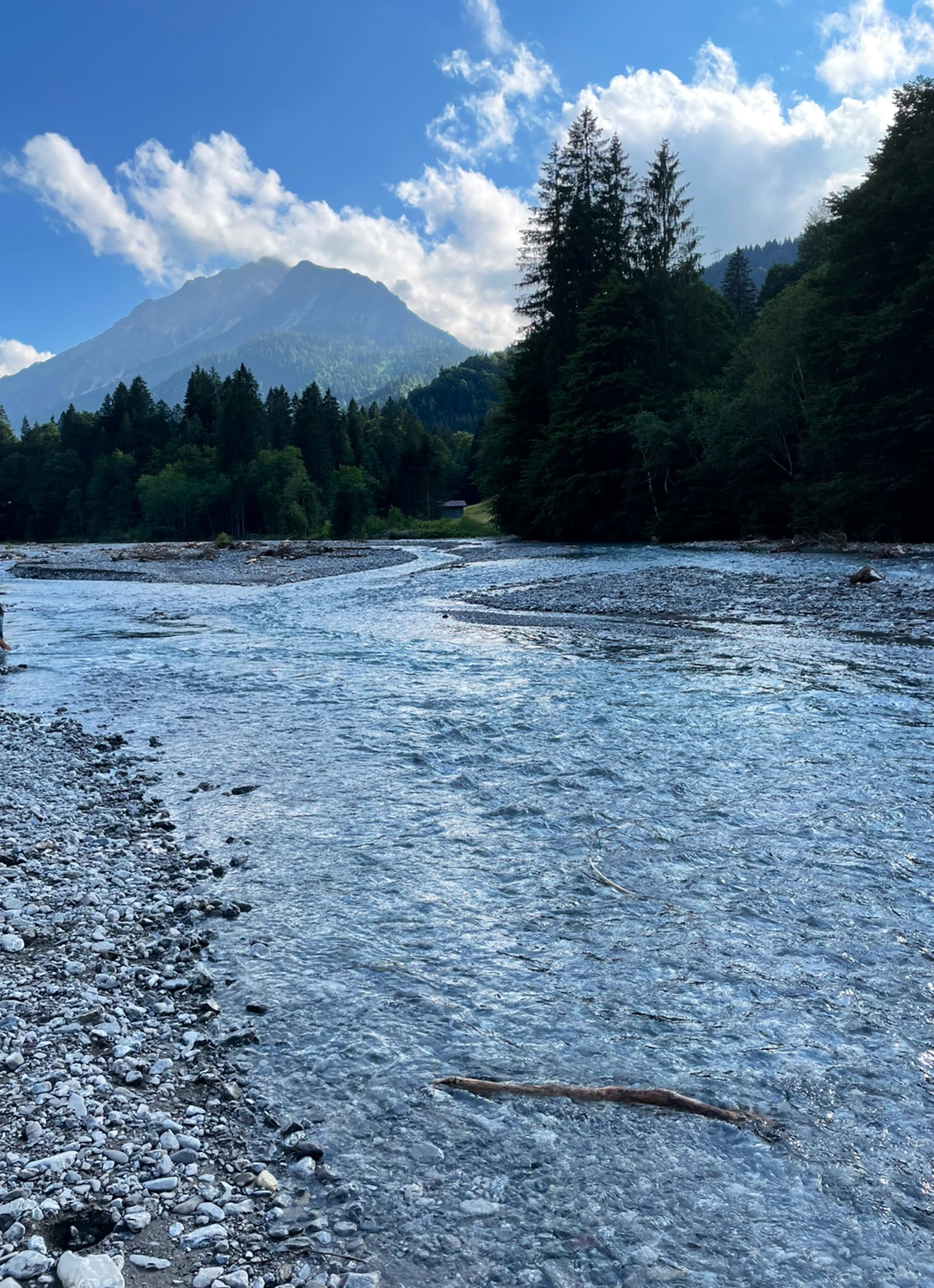
Very idyllic along the Stillach river, with wonderful views of the stream that invite you to pause and reflect. Hiking trails lead directly to Freibergsee lake and the Heini Klopfer ski jump. There are also several beautiful wooden bridges to cross. Suitable even for those who aren't particularly athletic.
Einödsbach – Germany's southernmost settlement at the foot of the Allgäu's three peaks: Mädelegabel, Trettachspitze, and Hochfrottspitze. Easily accessible on foot, for example, from the Nordic Center/Freibergsee/Fellhorn cable car, or by public transport from Oberstdorf (to Alpe Eschbach). ...In my opinion, you absolutely must continue uphill from the small chapel! There you'll be rewarded with a truly magnificent panorama. My photos are from May 10, 2025.
The parking lot is located below the Fellhorn cable car on the other side of the stream. From there, a nearly level gravel path leads into the Stillach Valley. In Birgsau, there's an inn and a hotel with a swimming pool. The hotel's dining rooms are well-maintained and very comfortable. In summer, there's also a lovely terrace with panoramic views. We only had drinks, but the menu looks promising. The service is exceptionally friendly and attentive. 👍
More of Oberstdorf
Discover where to stay, what to do and the best deals for your trip.
Explore Oberstdorf →More attractions in Oberstdorf
All of Oberstdorf →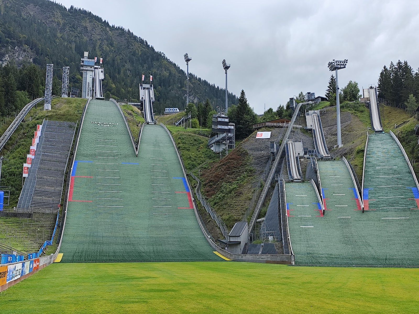
Background adapted from Wikipedia (CC BY-SA) · map data © OpenStreetMap contributors · ratings & place photos via Google · other photos with per-image credit. Ticket links may earn us a commission at no extra cost to you.