
Southern Enclosure Wall
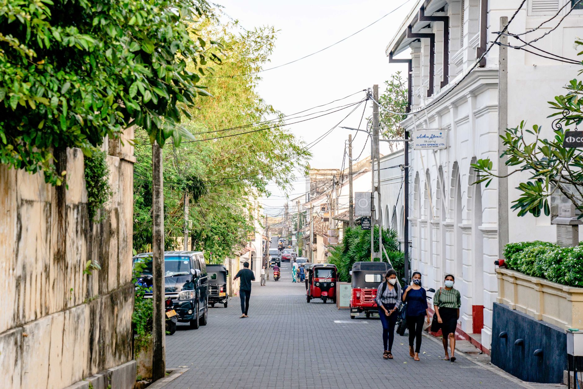
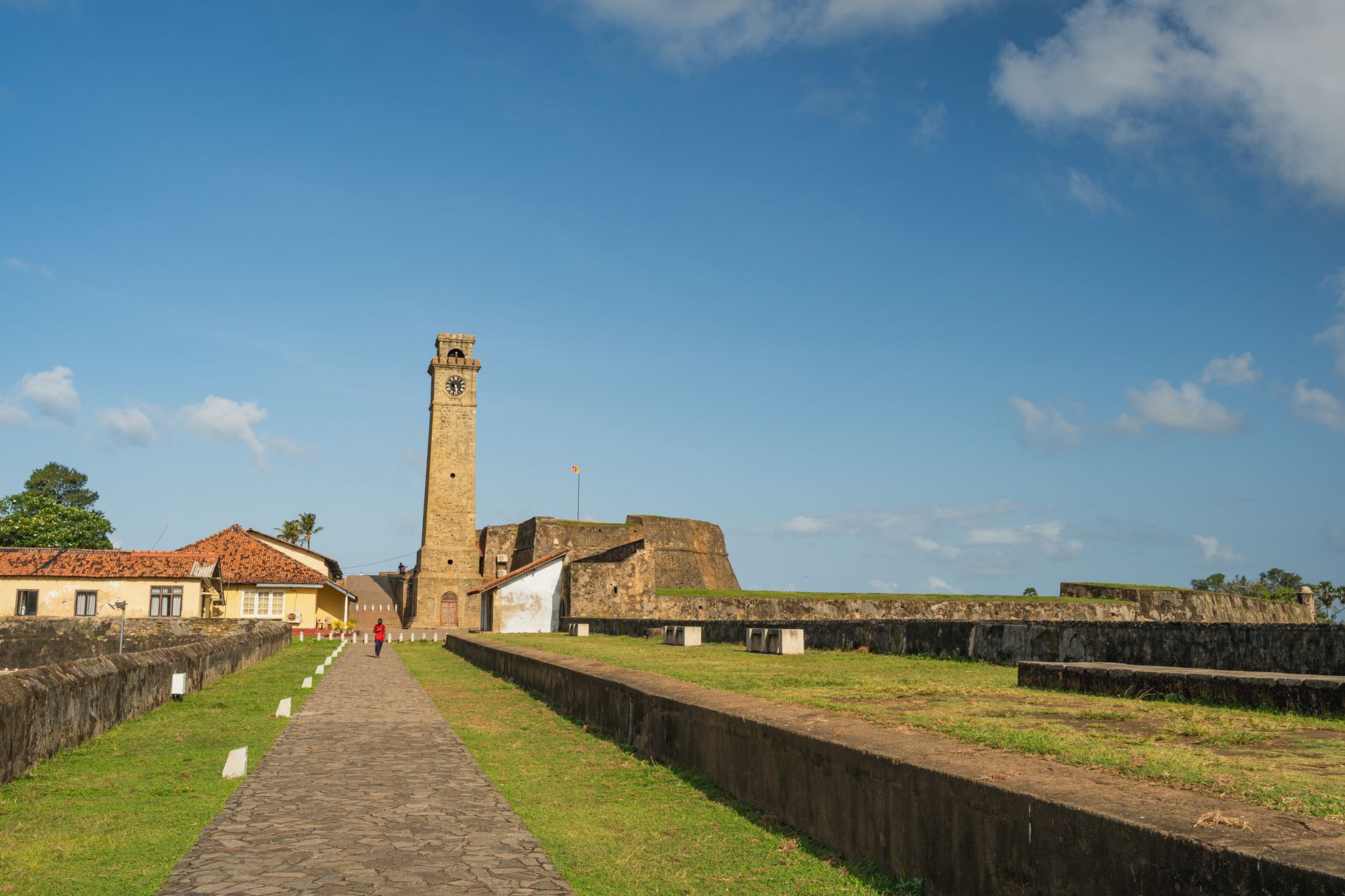
The southern enclosure wall of the Agdal Gardens is where the geometry of the place becomes legible. Walk far enough south along the olive-lined paths — trees planted ten meters apart, a rhythm you start counting without meaning to — and the rammed-earth boundary rises ahead of you, shutting out the city and sealing in nearly nine kilometers of orchard, channel, and sky.
This is the edge Muhammad IV drew when he extended the gardens into the Agdal Barrani section, pushing the perimeter south of the great Dar al-Hana reservoir to arrive at the outline the gardens hold today. The wall is not a destination so much as a vanishing point — the place where the Agdal stops being a garden and becomes an idea of enclosure.
💛 What travellers fall for
People who come back tend to walk the full southern loop before the heat builds. The olive rows give intermittent shade, and the wall itself runs long enough that you can lose the other visitors entirely. The Dar el-Hana pavilion is visible from the southern stretch on a clear morning — worth pausing for the sightline alone.
How Southern Enclosure Wall came to be
The Agdal's enclosure began with the Almohad Caliph Abd al-Mu'min, who initiated the gardens in 1157, and the engineer Ahmad ibn Muhammad ibn Milhan — an Andalusian-Berber designer whose reputation, and fortune, grew with the sultan's favor. Those first walls were rammed earth and stone.
The southern boundary came later. Muhammad IV extended the enclosure southward, creating the Agdal Barrani and fixing the perimeter that stands now. After the Rehamna destroyed the western wall in 1862, Sultan Muhammad ibn Abd al-Rahman rebuilt it and added the defensive fort Sqallat al-Mrabit to protect the ramparts. The whole complex has been a UNESCO World Heritage Site since 1985.
Who and what shaped it
People who shaped it
Landmark buildings
Plan your visit
On the map
When to go
Marrakech runs hot and dry through summer; the wall offers little shade and the southern stretch can be exposed by midday. Spring brings the orchards into flower and autumn ripens the fruit — either season rewards the walk more than midsummer does.
Right now
Background & history adapted from Wikipedia (CC BY-SA) · specs from Wikidata (CC0) · weather from Open-Meteo · map data © OpenStreetMap contributors · photos from Wikimedia Commons / Unsplash with per-image credit. No third-party reviews or social posts reproduced.