
Semuc Champey
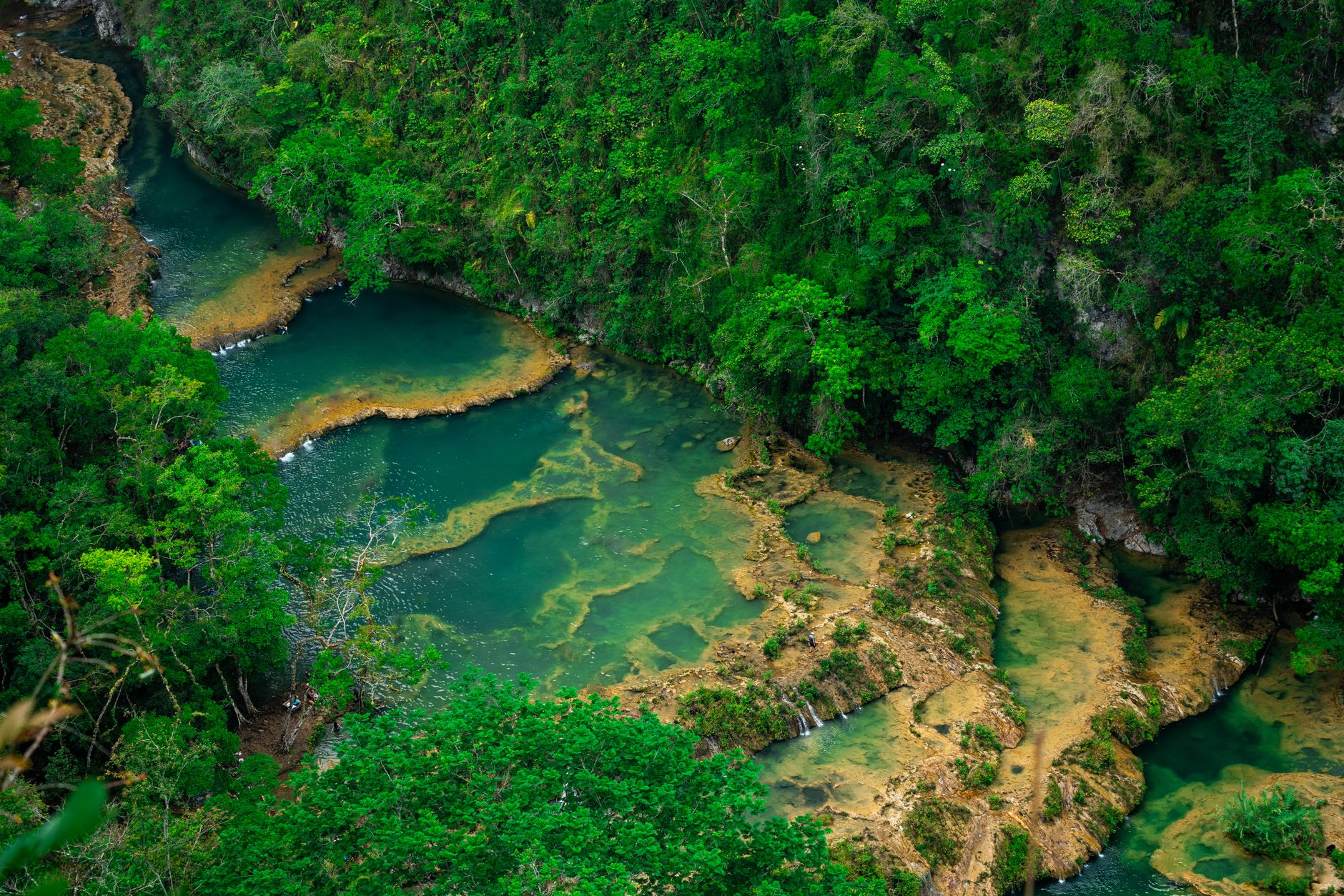
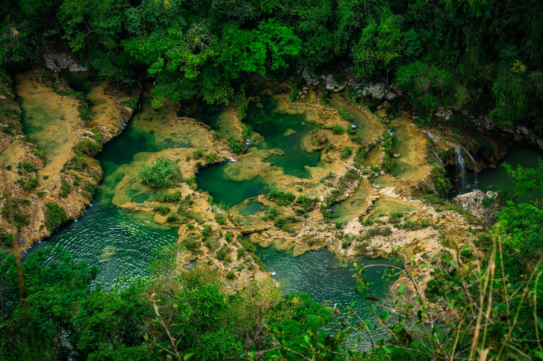
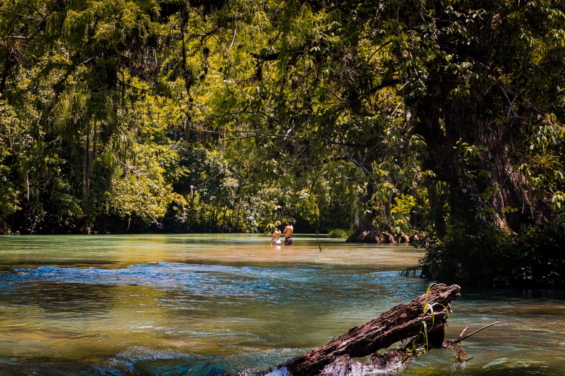
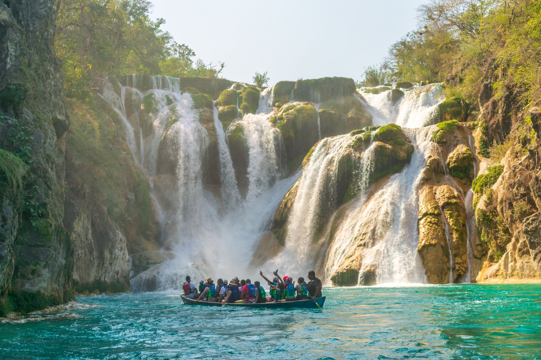
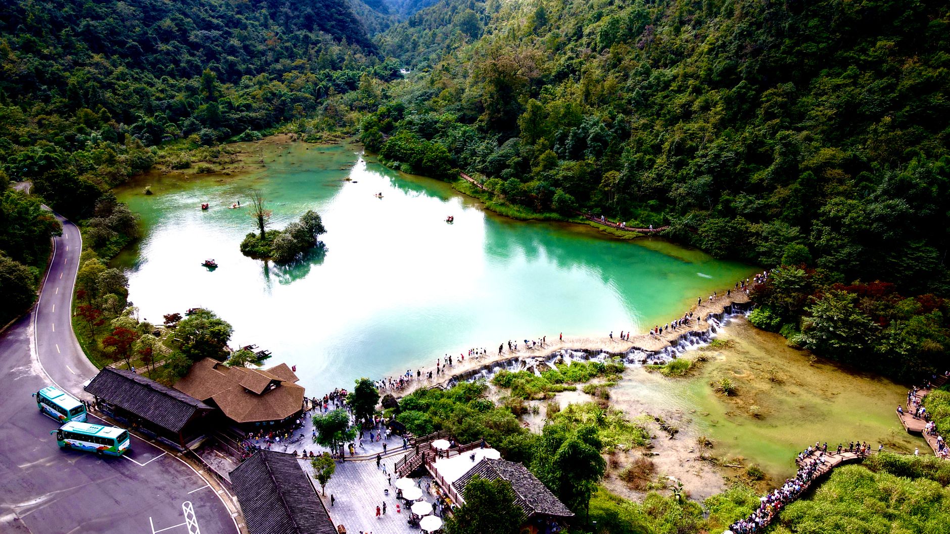
The first thing you notice at Semuc Champey is the sound: the Cahabón River thundering somewhere beneath your feet, swallowed by a 300-metre limestone bridge before emerging downstream as though nothing happened. On top of that bridge sits a series of stepped, turquoise pools — calm, swimmable, almost improbably clear against the surrounding jungle.
Getting here takes effort. From Cobán it's a two-to-three-hour drive; from Antigua, closer to eight by shuttle. You'll likely be dropped near a yellow bridge at the base of a hill, with snack vendors on the far side — buy something here, because options thin out once you're inside the park.
How Semuc Champey came to be
The landscape itself is the product of thousands of years of slow erosion: the Cahabón River carved through limestone, eventually cutting an underground channel and leaving a natural bridge above, with sediment-fed pools collecting on its surface. The land changed hands several times in the modern era — a German landowner occupied it, then abandoned it during the government of Jorge Ubico in the 1940s.
Around 2000, a mayor from a nearby municipality helped the surrounding Q'eqchi' Maya community purchase the land from the Actelá Cooperative for Q375,000 (roughly US$50,000). In 2005, the Guatemalan government declared Semuc Champey a protected Natural Monument under Decreto No. 025, placing administration under CONAP — a decision that sidelined the same communities who had worked to acquire it.
Who and what shaped it
Landmark buildings
See Semuc Champey in motion
Plan your visit
On the map
When to go
Semuc Champey sits at around 1,200 metres in a tropical highland jungle: days are warm (averaging around 85°F/29°C, peaking in April), nights noticeably cooler. The rainy season runs May through October and brings real downpours; from November through April the trails dry out and the pools stay at their most swimmable.
Right now
Background & history adapted from Wikipedia (CC BY-SA) · specs from Wikidata (CC0) · weather from Open-Meteo · map data © OpenStreetMap contributors · photos from Wikimedia Commons / Unsplash with per-image credit. No third-party reviews or social posts reproduced.