
Río Dulce

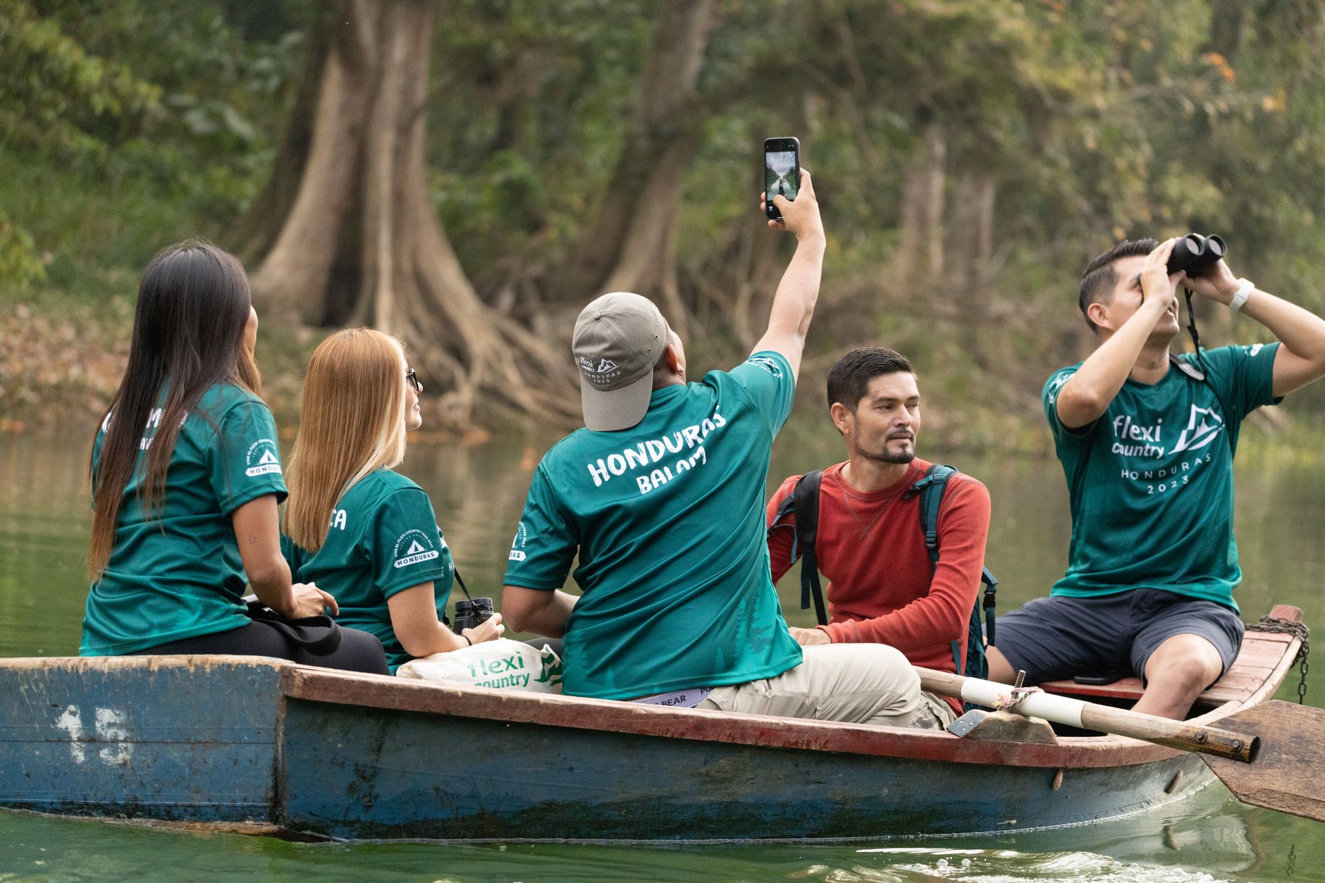
The river gives Río Dulce its logic. From the rough highway town of Fronteras — tuk-tuks threading between cargo trucks, a vegetable market where Q'eqchi' Maya vendors arrive by dugout canoe — the water opens into something else entirely: limestone canyon walls rising nearly 100 metres, then the wide, lake-like spread of El Golfete, where manatees move through mangrove channels and the air thickens with humidity and birdsong.
This is a working river as much as a scenic one. International sailors have sheltered here for decades, riding out Atlantic hurricane season in the calm marinas. Garifuna communities hold the Caribbean mouth at Livingston. The national park — 13,000 hectares of tropical waterway and rainforest — wraps it all into one of Guatemala's oldest protected corridors.
How Río Dulce came to be
The Spanish built Castillo de San Felipe de Lara around 1644 to control river access to Lake Izabal — a chokepoint against pirates, with stone walls and semi-circular artillery bastions suited to the narrow isthmus. One tower predates that construction, with additions engineered as late as 1797. The fort now sits on UNESCO's tentative World Heritage list, though a 1999 earthquake left its mark.
The Q'eqchi' Maya had been along these banks long before European fortifications arrived, and their communities remain. The Garifuna — descendants of West African and indigenous Carib peoples — established Livingston at the river's mouth, a town that feels closer to the Caribbean coast than to the Guatemalan interior. Fronteras itself grew not by decree but by geography: the bridge completed in 1980, one of Central America's longest, made it a transit hub almost by default.
Who and what shaped it
Landmark buildings
See Río Dulce in motion
Plan your visit
On the map
When to go
Temperatures sit between 27 and 32°C year-round, with humidity regularly in the 80–90% range — this is genuinely tropical, not just warm. Dry season (November to April) brings the most manageable conditions; July can clock up to 30 rainy days in a single month.
Right now
Background & history adapted from Wikipedia (CC BY-SA) · specs from Wikidata (CC0) · weather from Open-Meteo · map data © OpenStreetMap contributors · photos from Wikimedia Commons / Unsplash with per-image credit. No third-party reviews or social posts reproduced.