
Ria Formosa Natural Park
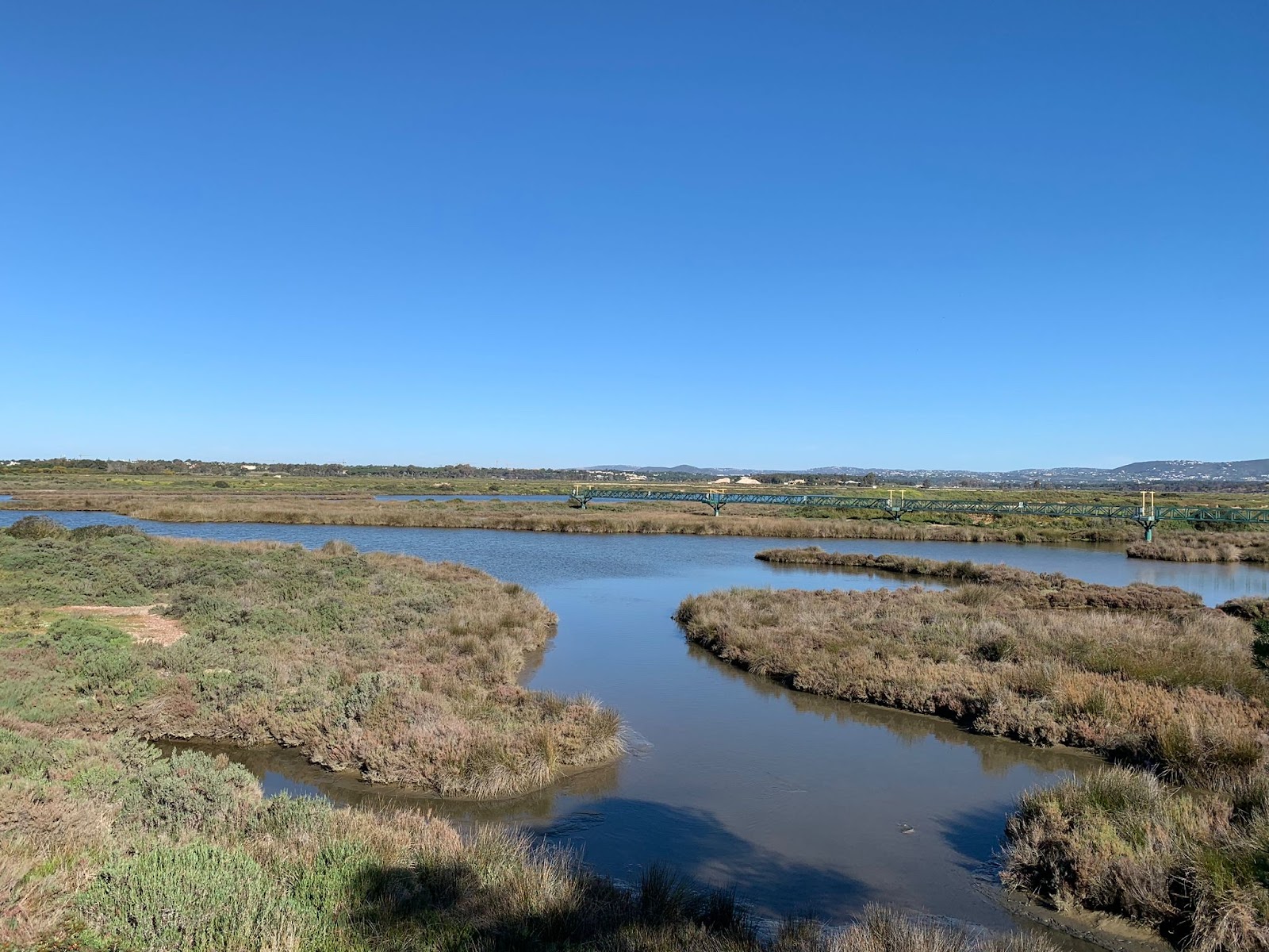
At low tide, the lagoon pulls back to reveal pale sandbanks where locals crouch in the shallows hunting razor clams, their buckets filling slowly in the quiet. This is Ria Formosa — a protected stretch of barrier islands, salt pans, tidal channels and estuary running along the southern edge of Faro and much of the eastern Algarve. The park covers a complex of waterways shaped over six thousand years by the Atlantic pressing against the coast, gradually closing off the sea behind a shifting curtain of dunes and sand.
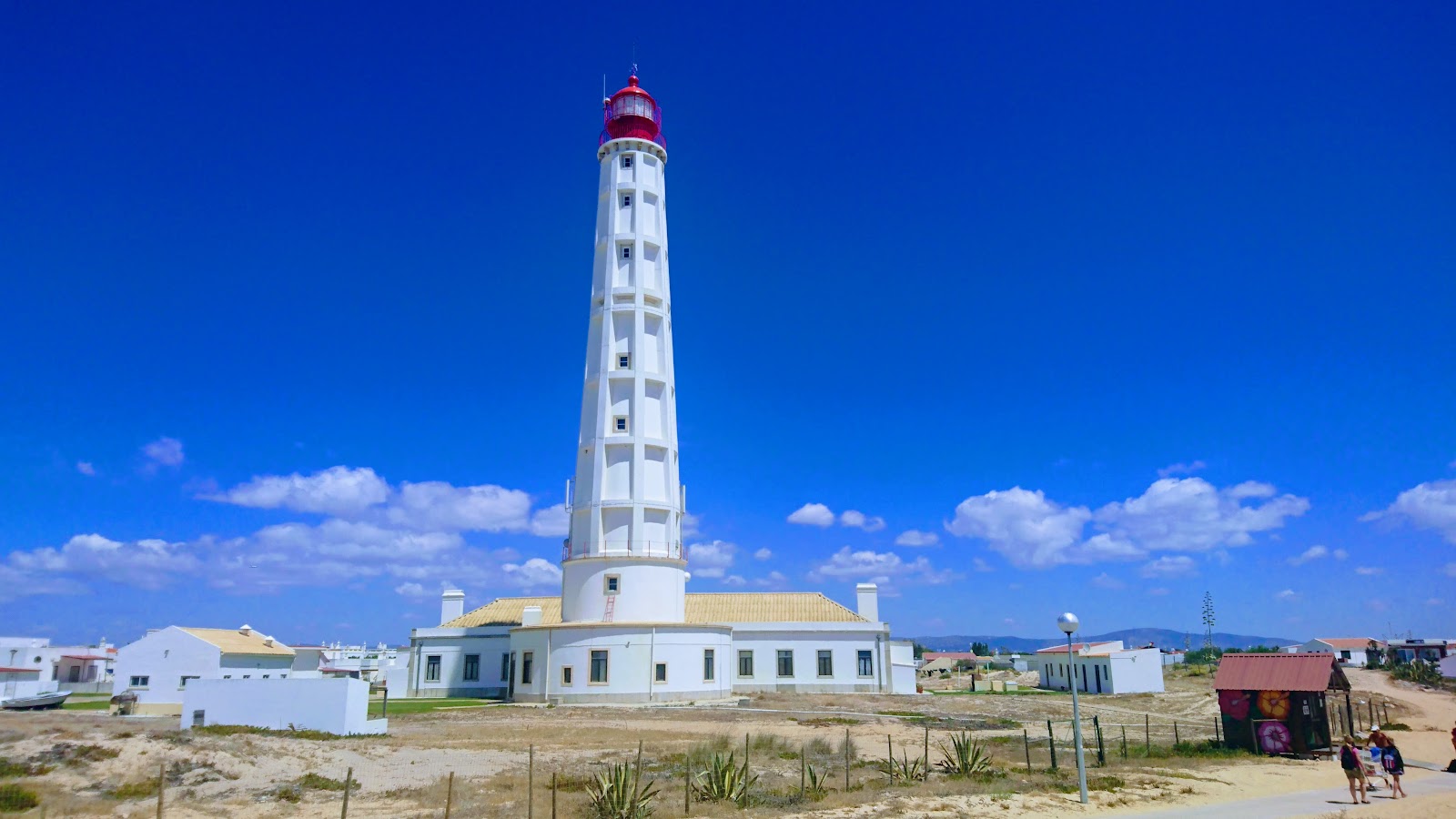
Ferries cross to islands where cars have never existed, flamingos feed in the salt pans at dusk, and a tidal mill still stands at the Quinta de Marim visitor centre. You can cover one island in a half-day or spend two full days moving between fishing villages and boardwalk trails and barely repeat a view.
💛 What travellers fall for
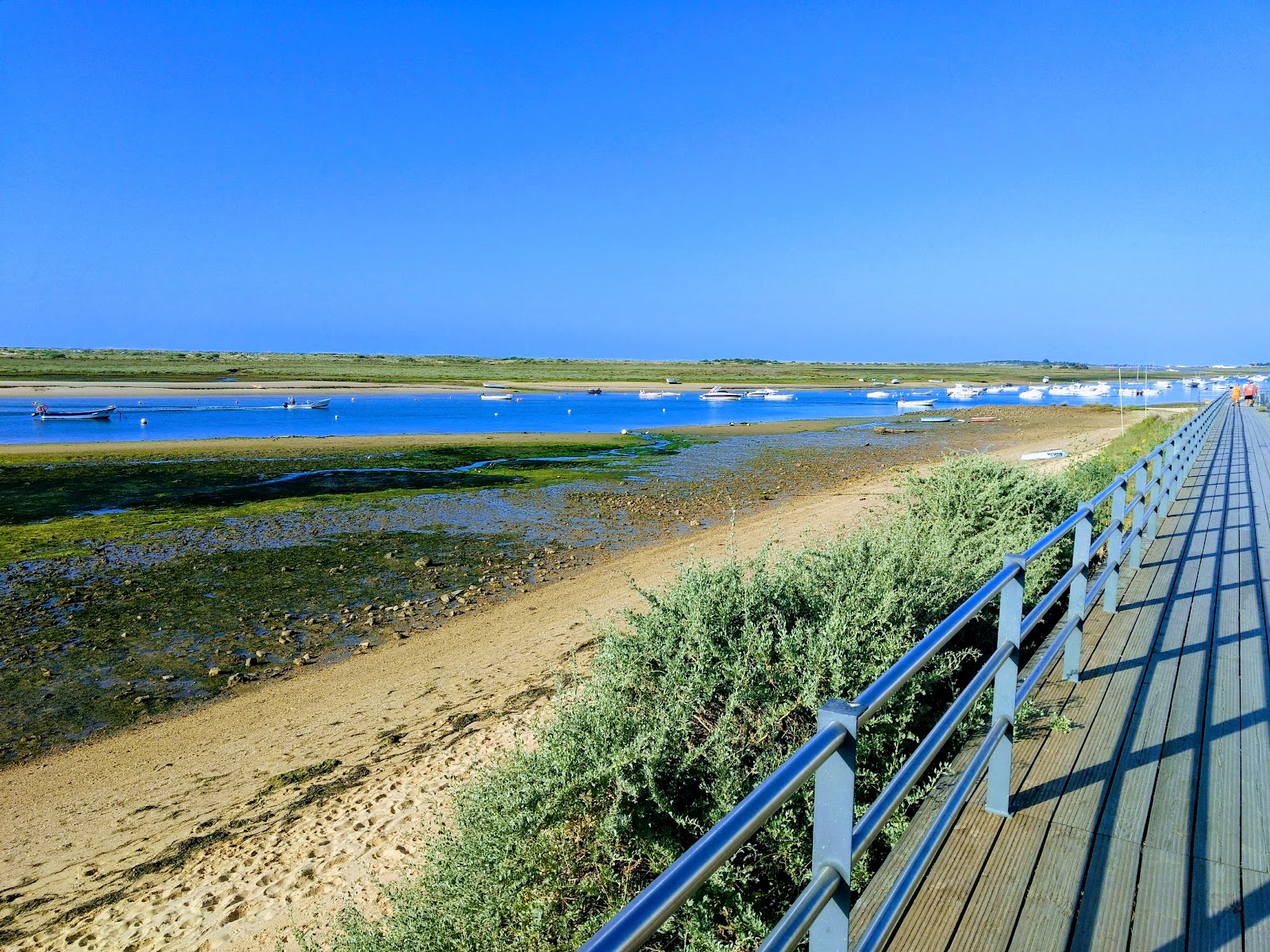
People who come back tend to catch the early ferry to Culatra — sandy paths instead of streets, fishing nets drying on fences — and time it to return via Ilha Deserta at low tide. The Olhão market is the other constant: buy whatever came in that morning, then eat it at Marisqueira Sol e Mar as octopus salad.
The story behind Ria Formosa Natural Park
The lagoon's basic shape is roughly 6,500 years old, formed when Atlantic currents built up a barrier of sand that partially sealed off the coast, creating the network of channels and wetlands behind it. Romans harvested salt here — ruins remain near Tavira — and the Moors left fortifications along the same shoreline.
Formal protection came in 1980, when Ria Formosa was designated a Ramsar wetland site, and the park itself was established by Portuguese law in December 1987. In 2010, following a national public vote of over 656,000 participants, it was named one of Portugal's seven natural wonders, winning the Marine Area category. On Praia do Barril, a quieter piece of history: hundreds of rusted anchors arranged in rows on the beach, left there in 1966 when the local tuna fishing industry collapsed.
Good to know
Bus 14 or 16 from Praça da República in Faro reaches the park gate in 15 minutes. The Quinta de Marim visitor centre costs around €3.20; island ferries run €15–20 return. Spring and autumn beat summer for wildlife and thinner crowds. Budget a full day minimum.
Spring (March–May) brings breeding birds, wildflowers on the dunes, and manageable crowds — the most rewarding season for the park. Autumn draws large flocks of migrating waders and peaks flamingo numbers, with the sea still warm enough to swim. Summer runs hot, 27–35°C, and the islands fill with people from mid-June onward; winters are mild and quiet, averaging 12–16°C.
Where is Ria Formosa Natural Park?
More tickets & tours for Ria Formosa Natural Park
Book directly at the provider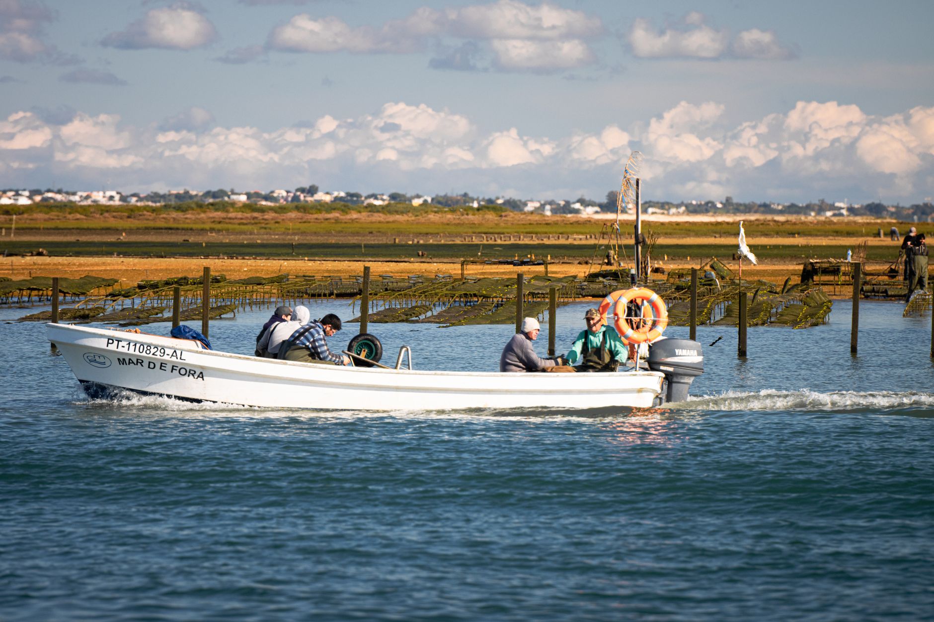
What travellers say about Ria Formosa Natural Park
The park’s lagoons, marshlands, and islands provide a sanctuary for a diverse range of wildlife, which makes it a fantastic spot for birdwatching and nature photography. The boat tours are a must-do, providing an intimate look at the diverse ecosystems and the unique fishing communities on islands like Armona and Culatra. The guides are knowledgeable and passionate, making the experience educational as well as enjoyable. While the commitment to conservation and animal welfare is evident, and it’s heartening to see such dedication to preserving this slice of paradise, some areas could benefit from better signage and maintenance. Also, the availability of amenities like restrooms and cafes is limited, which is something to keep in mind when planning your visit.
We thoroughly enjoyed this park. Very inexpensive 3.20 euros, gorgeous views, a visitor center, the flowers were simply splendid & seeing the crabs dive into their holes was funny & fascinating. Would love to go back some day.
A beautiful park that's home to a huge variety of wildlife and has some of the best sunsets I've ever seen. Depending on the time of year the tide will usually be in during the morning, then out until the evening, so be careful not to get caught out walking in the marshes. Otherwise there are plenty of permanent paths so that you can walk around the little salt lakes and admire the wildlife. Look out for flamingos and other types of birds if you visit!
Awesome place! Did we see chameleons? Unfortunately not, but we did see storks, two kinds of grey birds, thousands of crabs and a beautiful park. Really worth it! Recommend a visit. The recommended hike is only 2.5km so its nice if you're looking for a short activity
Very spectacular view of this wetland from airplane taking off from Faro, unique geography. If visiting again, I will try to walk around.
More of Faro
Discover where to stay, what to do and the best deals for your trip.
Explore Faro →More attractions in Faro
All of Faro →


Background adapted from Wikipedia (CC BY-SA) · map data © OpenStreetMap contributors · ratings & place photos via Google · other photos with per-image credit. Ticket links may earn us a commission at no extra cost to you.