
Quetzaltenango (Xela)
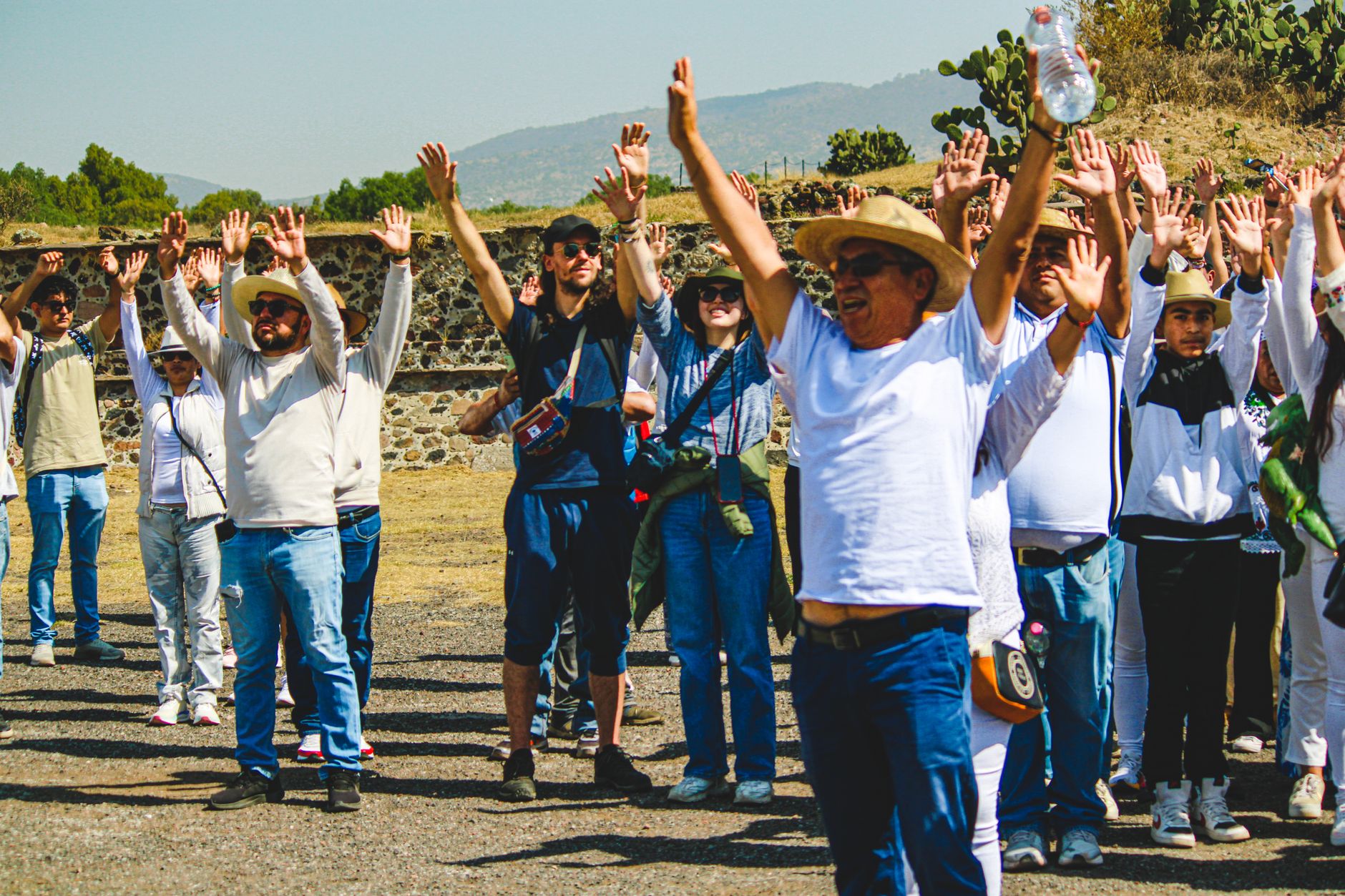
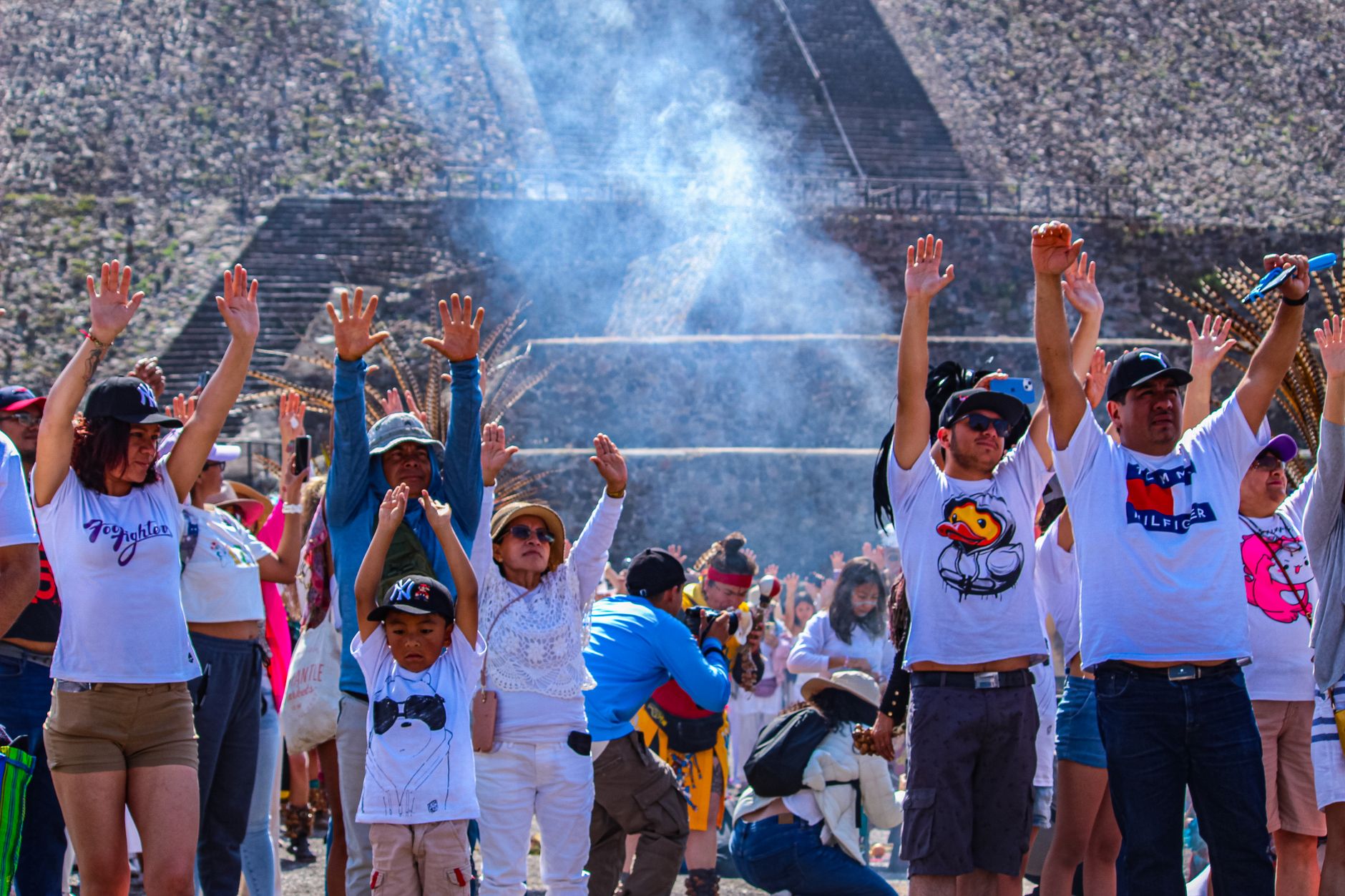
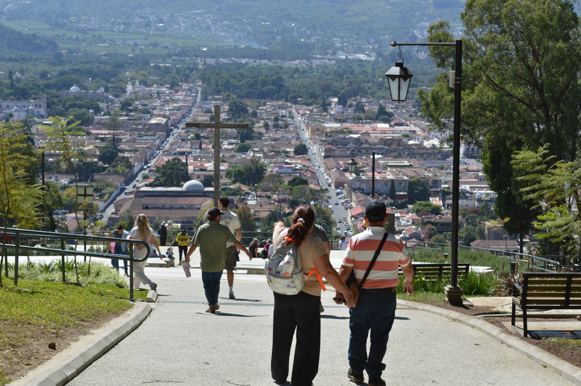
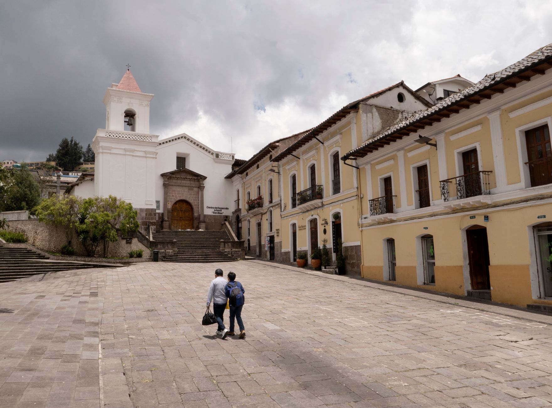
Guatemala's second city sits at 2,333 metres in a valley ringed by volcanoes, and the altitude makes itself known the moment you step off the bus — the air is cool, the light is sharp, and the pace is noticeably slower than the capital. Locals call it Xela, a shortening of the original Mam Maya name, and that name still feels more true than the Spanish one.
The colonial centre is built in grey and white stone, anchored by a Parque Central large enough to feel genuinely civic. There are theatres, arcades, markets, and a university culture that keeps the streets lively without the tourist overlay of Antigua.
How Quetzaltenango (Xela) came to be
The city stood as a Mam Maya settlement long before Spanish forces arrived. In 1524, conquistador Pedro de Alvarado defeated the K'iche' ruler Tecún Umán here, and the town was renamed Quetzaltenango. It briefly became the capital of the short-lived state of Los Altos between 1838 and 1840 — the ten columns of the 1881 Municipal Palace still reference those original ten regions — before Rafael Carrera's army folded it back into Guatemala.
The 19th century brought coffee, and with it money that built the Teatro Municipal (1895), the neoclassical Pasaje Enríquez arcade (1900), and the Temple of Minerva (1901). The 1902 eruption of Santa María volcano sent ash over the city that same evening, and the railway linking Xela to the capital, opened in 1930, was swallowed by landslides just three years later and never rebuilt.
Who and what shaped it
People who shaped it
Landmark buildings
See Quetzaltenango (Xela) in motion
Plan your visit
On the map
When to go
Xela runs cool year-round — temperatures rarely climb above 23°C or drop below 3°C — and the dry season from November through April brings the clearest skies and the least rain. May through October sees heavy afternoon downpours and persistent overcast; pack layers regardless of when you visit.
Right now
Background & history adapted from Wikipedia (CC BY-SA) · specs from Wikidata (CC0) · weather from Open-Meteo · map data © OpenStreetMap contributors · photos from Wikimedia Commons / Unsplash with per-image credit. No third-party reviews or social posts reproduced.