
Ponce
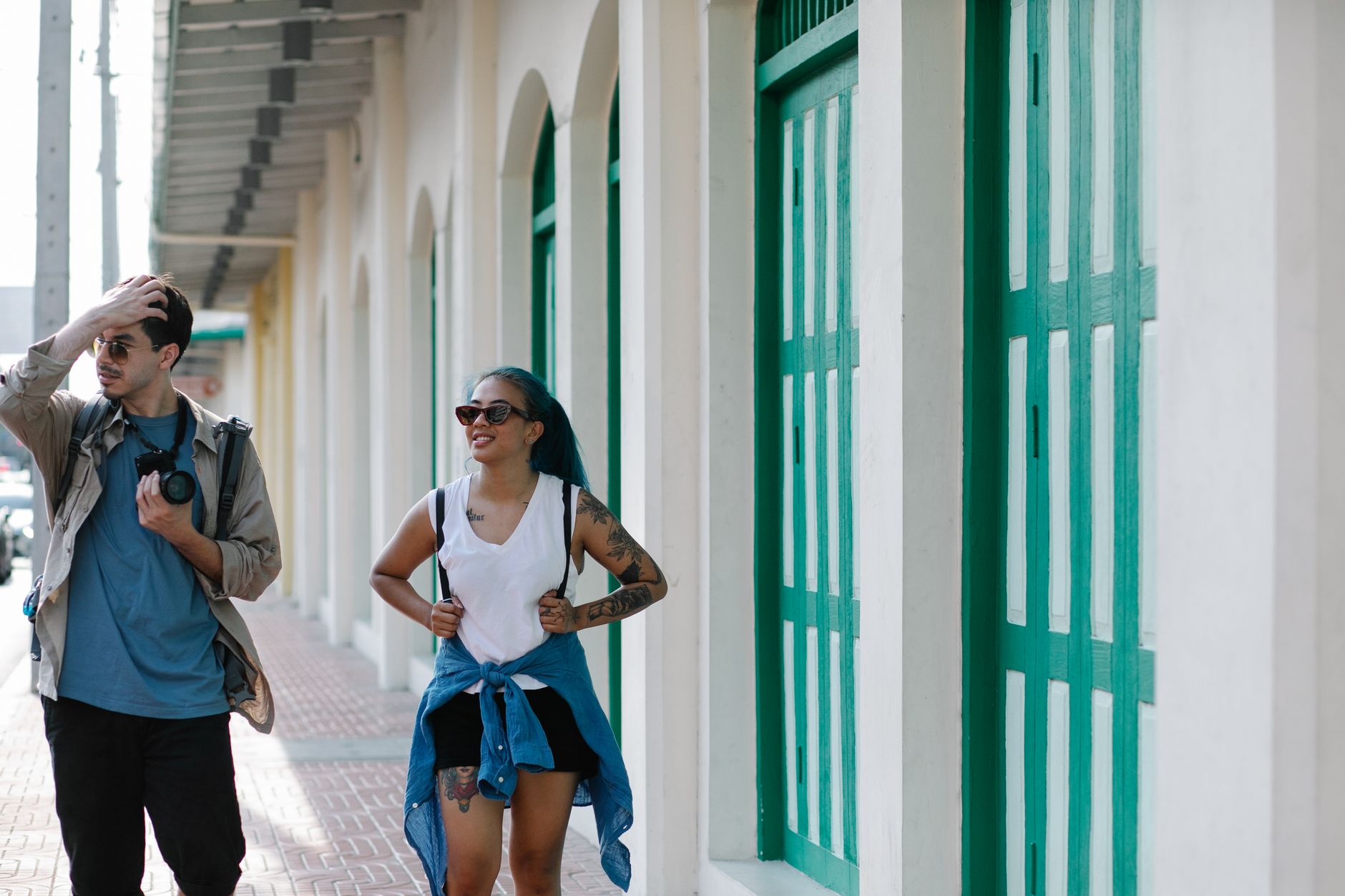
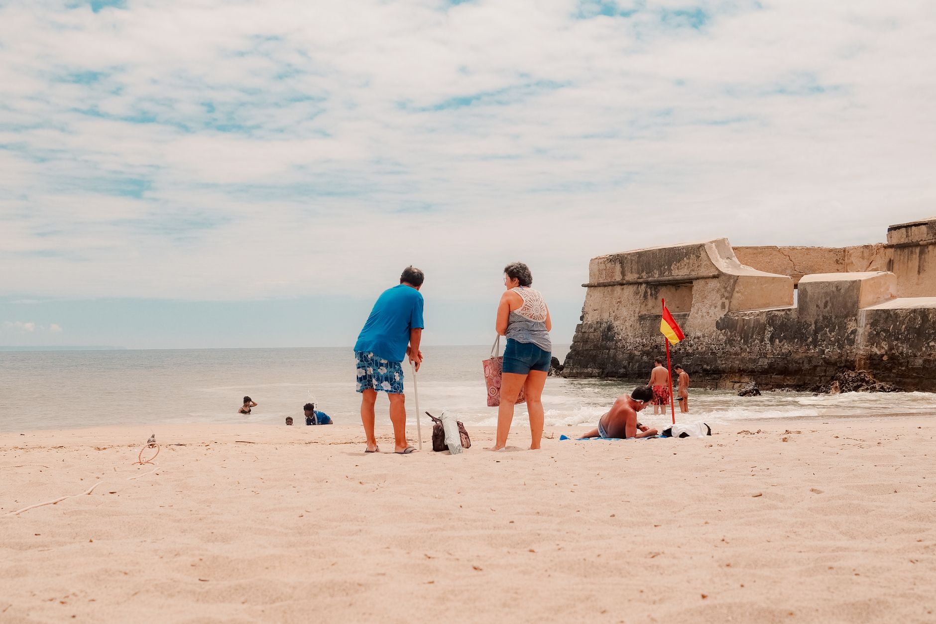
Ponce sits on Puerto Rico's south coast under a drier, hotter sky than San Juan, and that difference runs deeper than weather. The city has its own civic pride — a historic district of more than a thousand protected buildings, a plaza anchored by a candy-striped 19th-century firehouse, and a contemporary art museum designed by Edward Durell Stone that would draw crowds in any capital on earth.
This is Puerto Rico's second city in population and, by many local reckonings, its first in character. The streets reward walking: Ponce Creole townhouses from the 1890s line the blocks around Plaza Las Delicias, and the free trolley threads the heritage zone if the afternoon heat asks you to sit down.
How Ponce came to be
Ponce was founded on August 12, 1692, and named for Juan Ponce de León y Loayza, great-grandson of the Spanish conquistador. Its first mayor, Don Pedro Sánchez de Matos, oversaw a settlement that grew slowly until Spain's Royal Decree of Graces in 1815 opened the island to European immigrants, accelerating trade in coffee, sugarcane, and rum. By the mid-19th century the city had a neoclassical theater, an expanding port, and the ambition to match.
Wealth from that era still reads in the streetscape. The city became a villa in 1848, a city in 1877, and by 1897 Spain had designated it capital of the southern region. When the U.S. took jurisdiction in 1898 and invested in harbour improvements, Ponce's commercial confidence deepened further — a confidence that eventually funded, among other things, Luis A. Ferré's founding of the Museo de Arte de Ponce in 1959.
Who and what shaped it
People who shaped it
Landmark buildings
See Ponce in motion
Plan your visit
On the map
When to go
Ponce's south-coast position makes it warmer and drier than the rest of the island — more desert-scrub than rainforest. Temperatures sit between 68°F and 91°F year-round, with the driest, most comfortable stretch running December through February; October brings the heaviest rainfall, averaging around six inches.
Right now
Background & history adapted from Wikipedia (CC BY-SA) · specs from Wikidata (CC0) · weather from Open-Meteo · map data © OpenStreetMap contributors · photos from Wikimedia Commons / Unsplash with per-image credit. No third-party reviews or social posts reproduced.