
Poás Volcano National Park
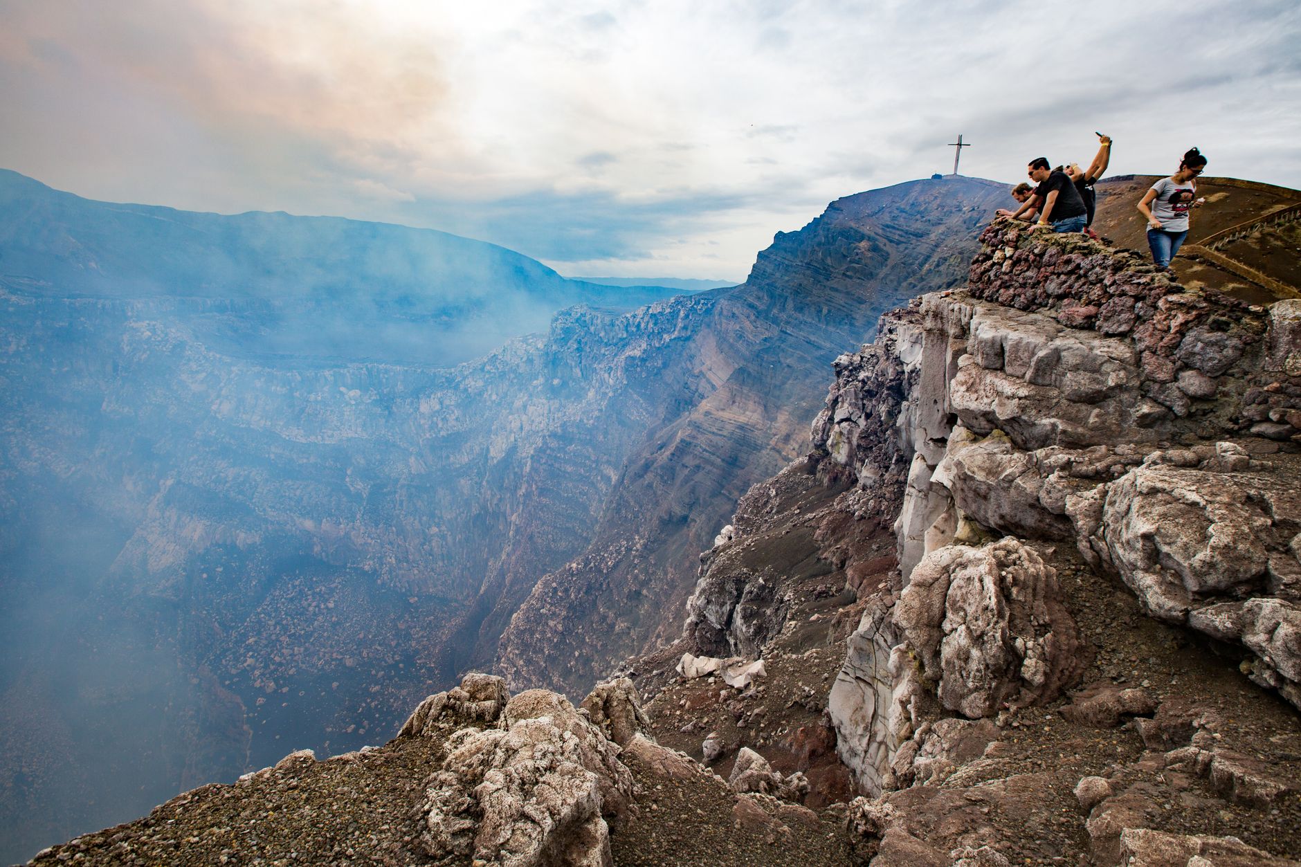
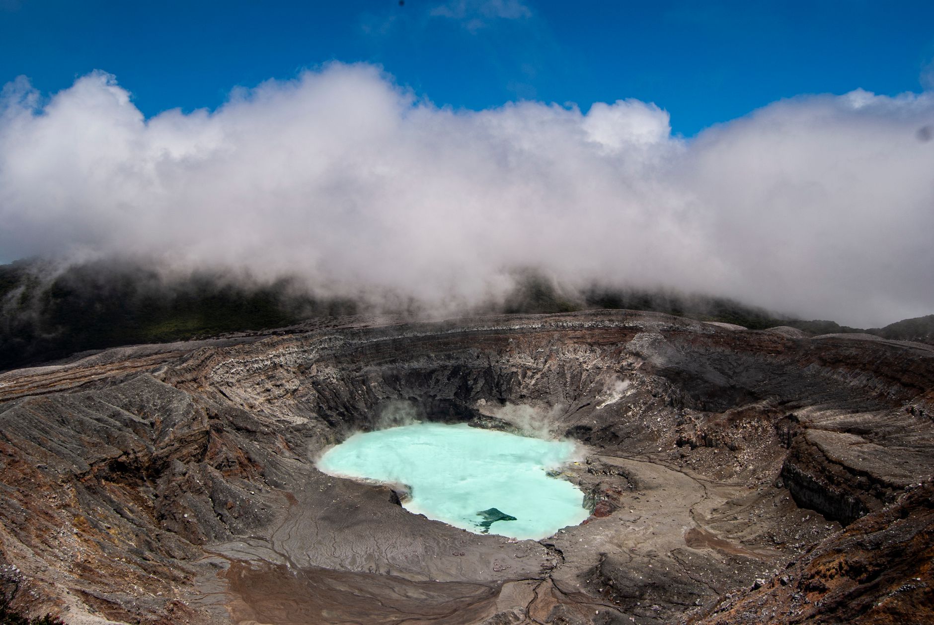


The main crater at Poás measures roughly 1.5 kilometres across and drops 300 metres to a lake so acidic — pH below 1 — that it sits closer to battery acid than water. Its colour shifts from sulfurous turquoise to flat grey depending on what the volcano is doing underneath, and on most mornings a thin plume drifts above the surface.
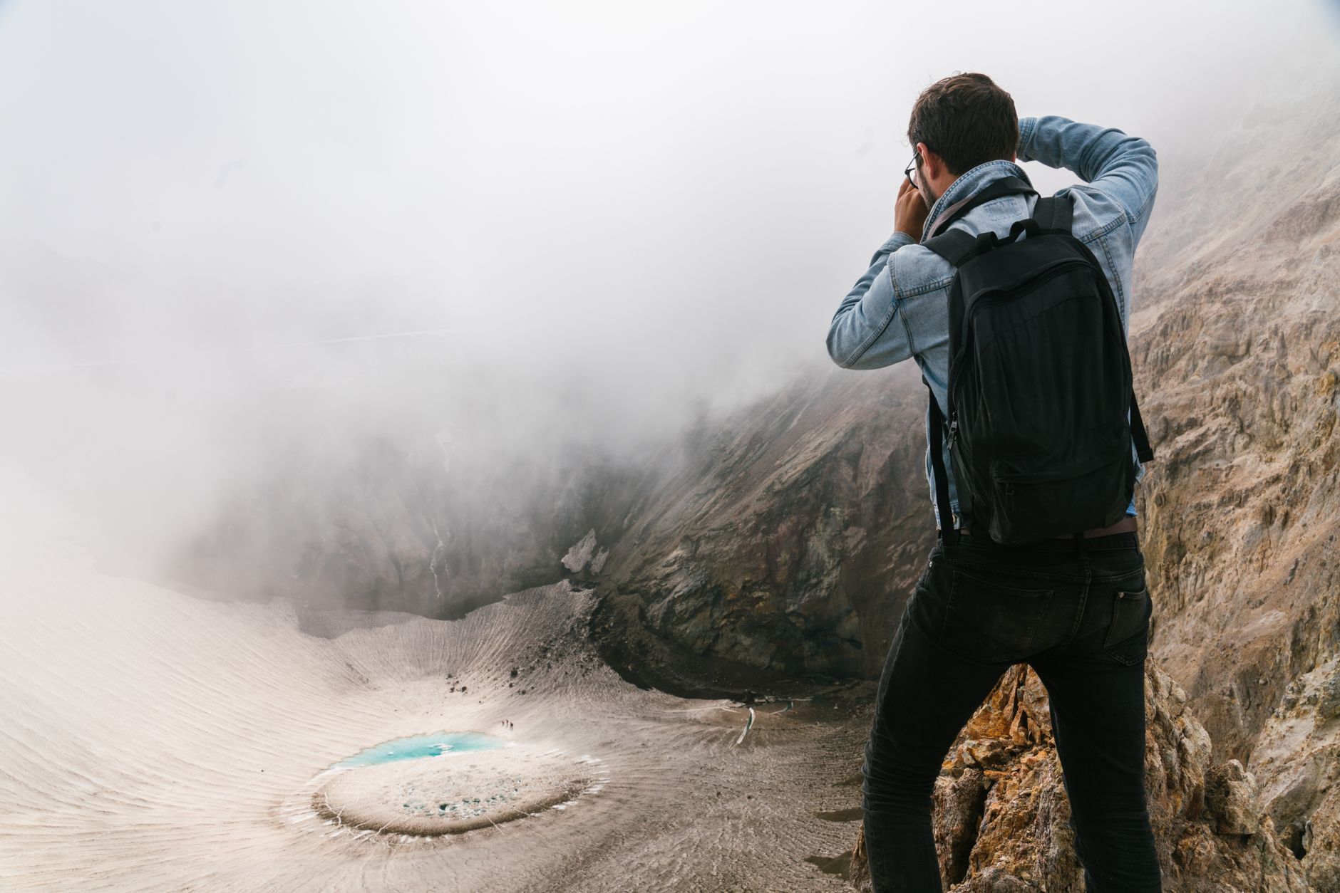
Poás is one of the most accessible active volcanoes on earth: a paved path from the car park to the crater rim takes about ten minutes on foot. That ease is also the catch — the crater is frequently swallowed by cloud by mid-morning, and there are no refunds when it is.
How Poás Volcano National Park came to be
The park was formally established on 25 January 1971, protecting around 1,200 hectares of the Central Volcanic Range. The volcano itself has a long record of activity: a 1910 eruption sent an ash column roughly 8,000 metres into the sky, and a sustained eruptive period ran from 1952 to 1954. The quieter Botos crater, a short trail away, has not erupted in approximately 7,500 years and now holds a cold, green lake — a useful reminder that the landscape here is always in some stage of becoming something else.
Who and what shaped it
Landmark buildings
See Poás Volcano National Park in motion
Plan your visit
On the map
When to go
Temperatures at the summit sit between 12 and 15°C most of the year, with the dry season (late December to late April) occasionally pushing into the low 20s. The rainy season runs roughly May through November and brings heavy annual rainfall and persistent morning fog that can close in over the crater within an hour of opening time.
Right now
Background & history adapted from Wikipedia (CC BY-SA) · specs from Wikidata (CC0) · weather from Open-Meteo · map data © OpenStreetMap contributors · photos from Wikimedia Commons / Unsplash with per-image credit. No third-party reviews or social posts reproduced.