
Playa de Maro
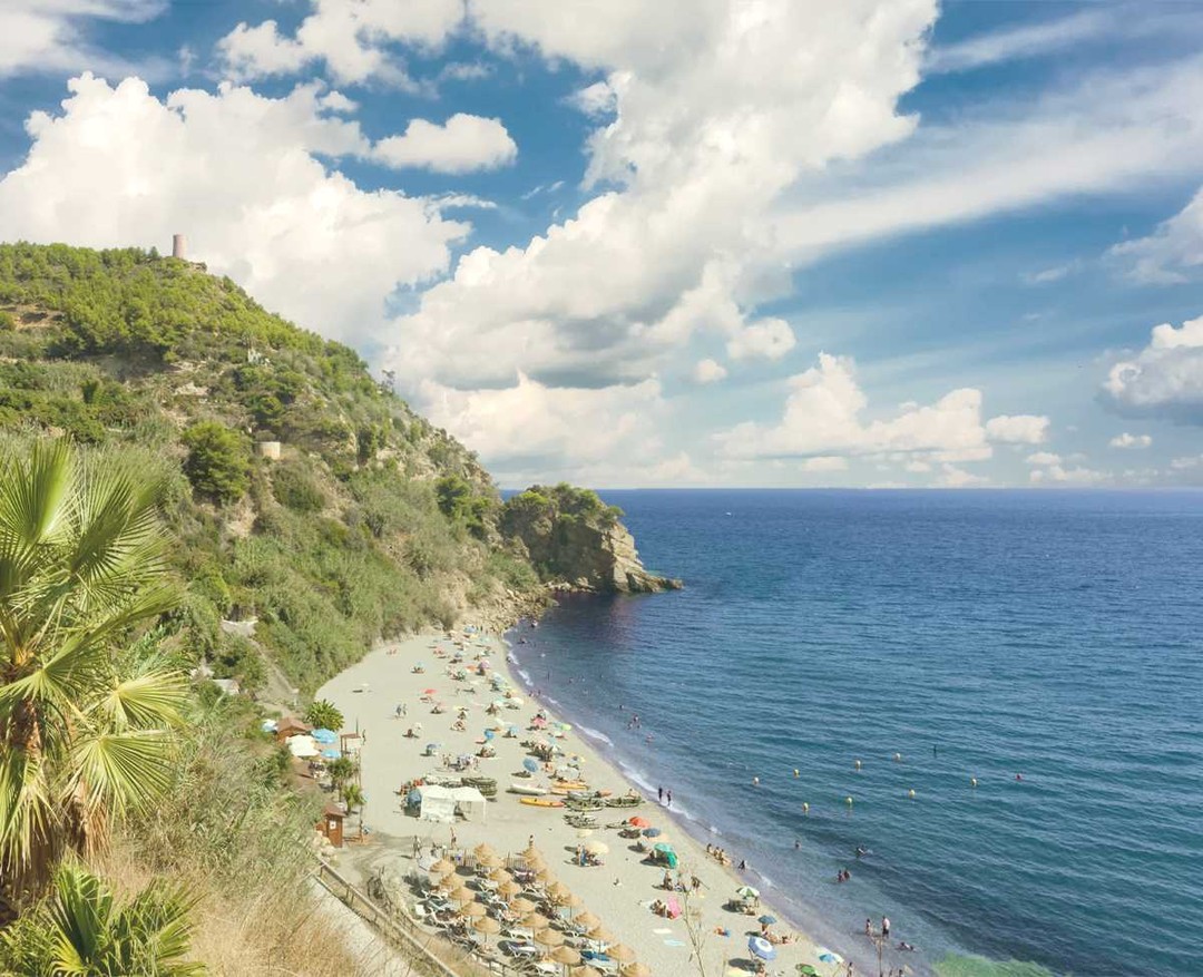
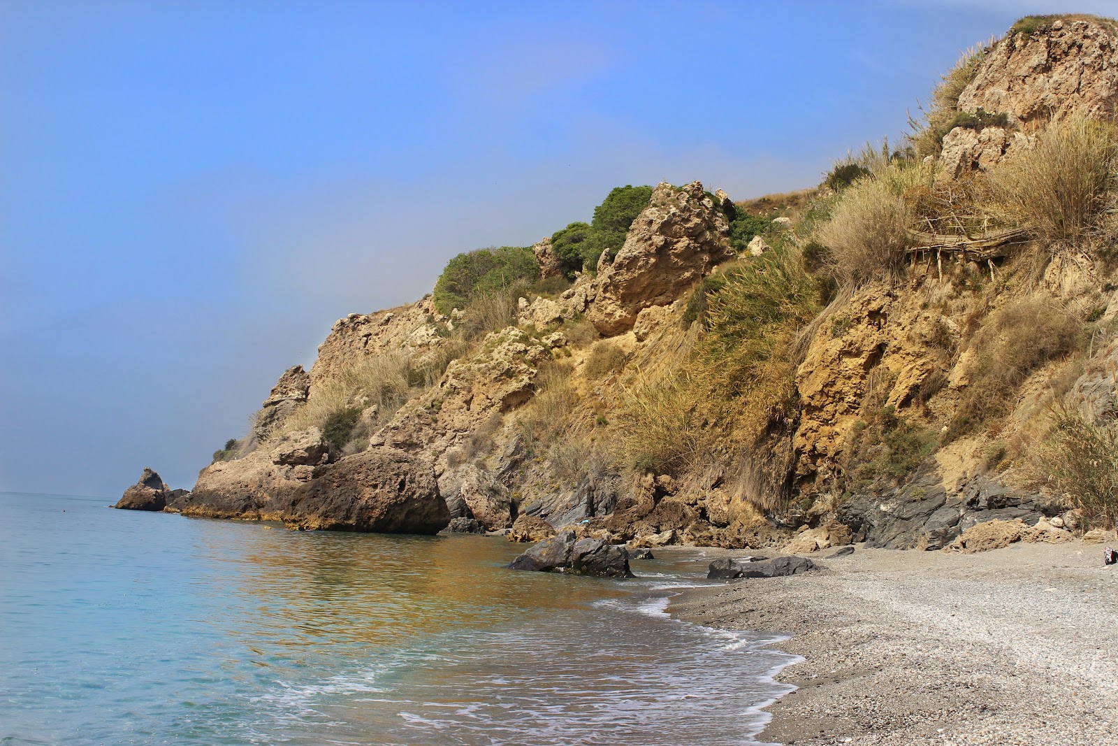
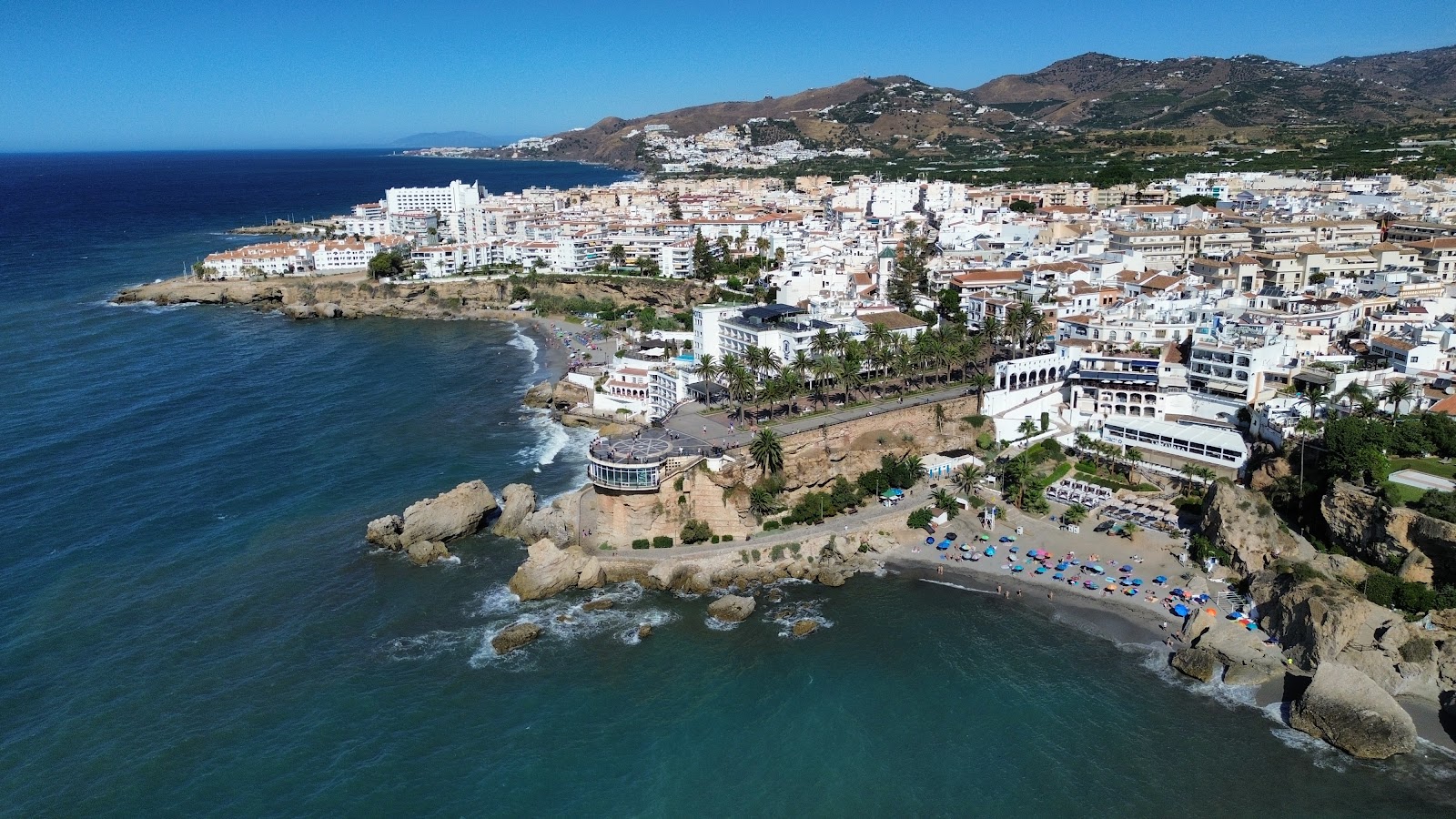
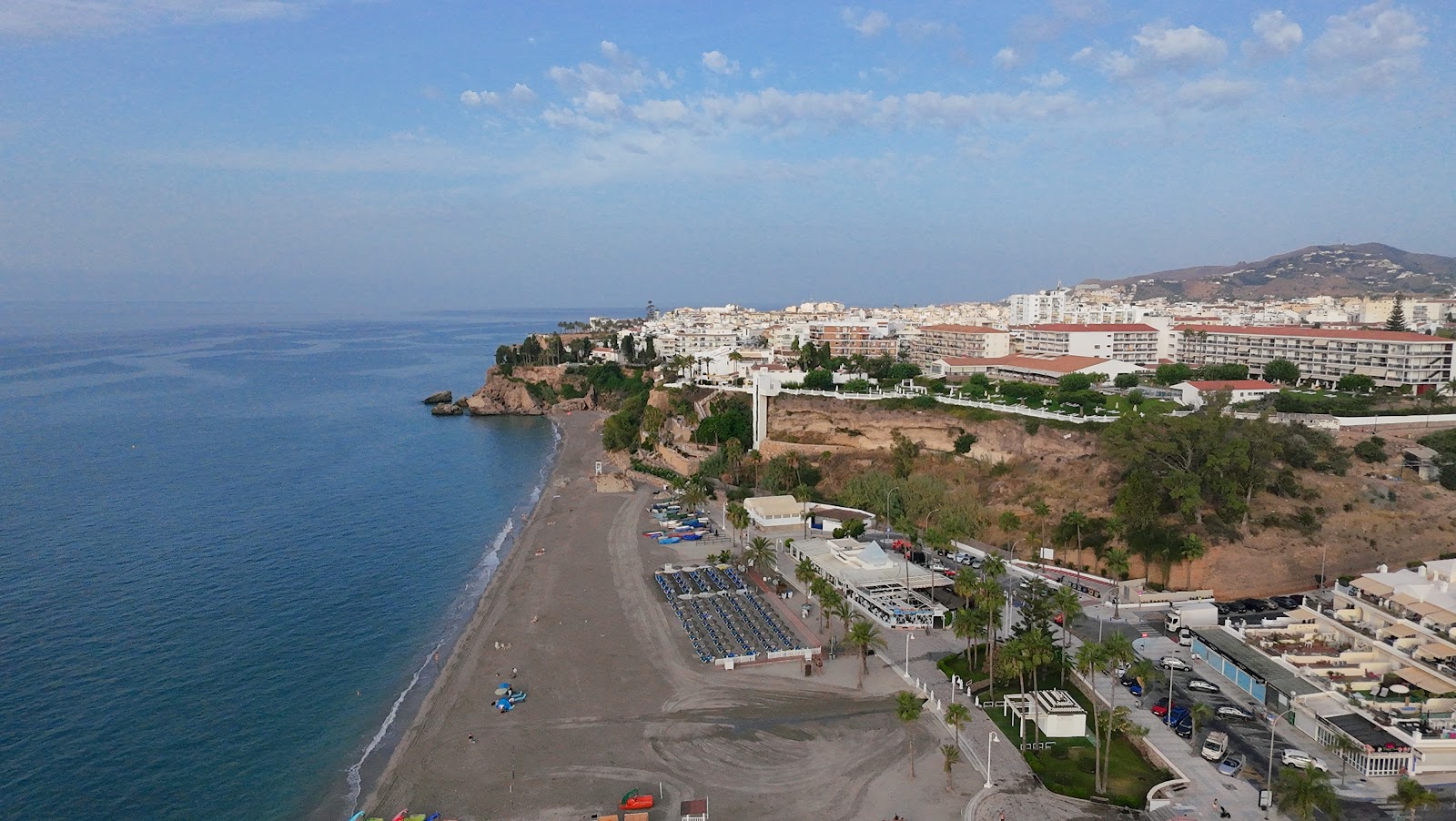
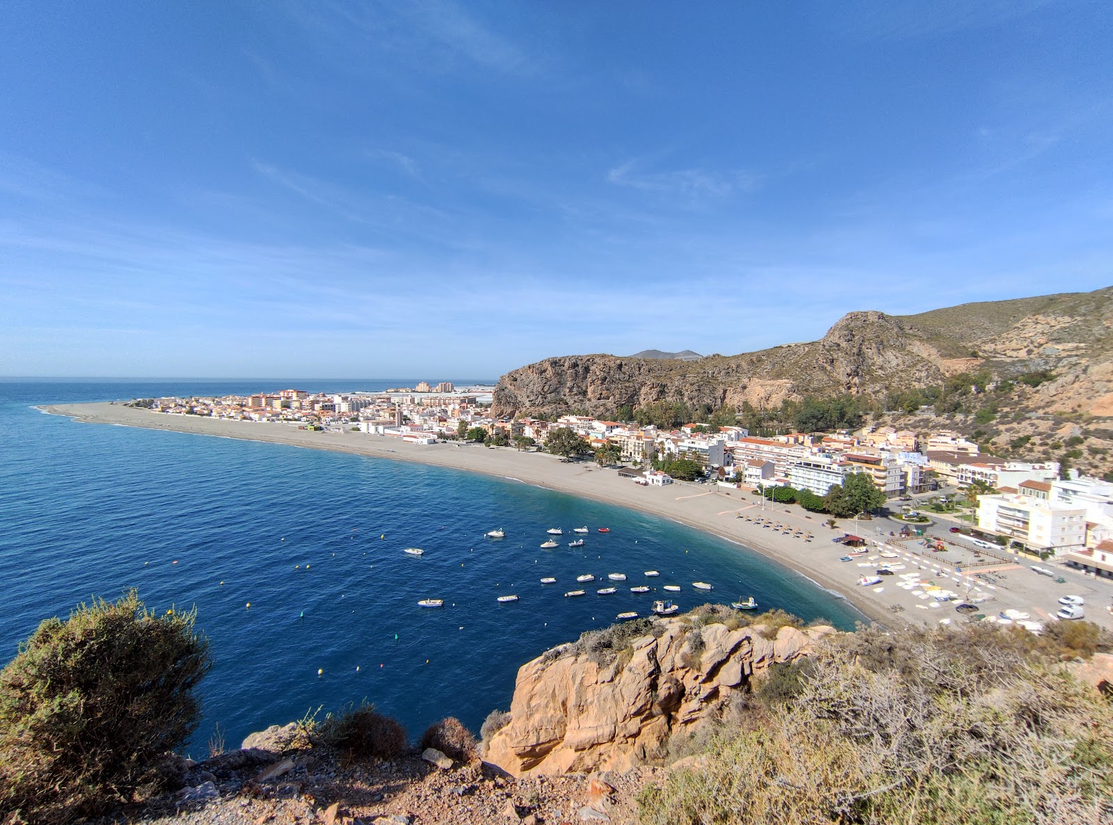
The road into Maro runs past greenhouses and agricultural plastic before it drops you, abruptly, at a cove where the cliffs are limestone and the water turns colours you didn't expect this close to a main highway. Playa de Maro stretches 500 metres of pebble and coarse sand, sheltered enough that the sea tends to lie flat, and overlooked from the headland by the remains of a 16th-century watchtower that once watched for pirates.
There are no sunbeds for hire here. A small bar, a restaurant, toilets, kayaks — that's the inventory. The beach earned its reputation the old-fashioned way: word of mouth, then a 2013 Antena 3 poll that voted it the best beach in Andalusia.
💛 What travellers fall for
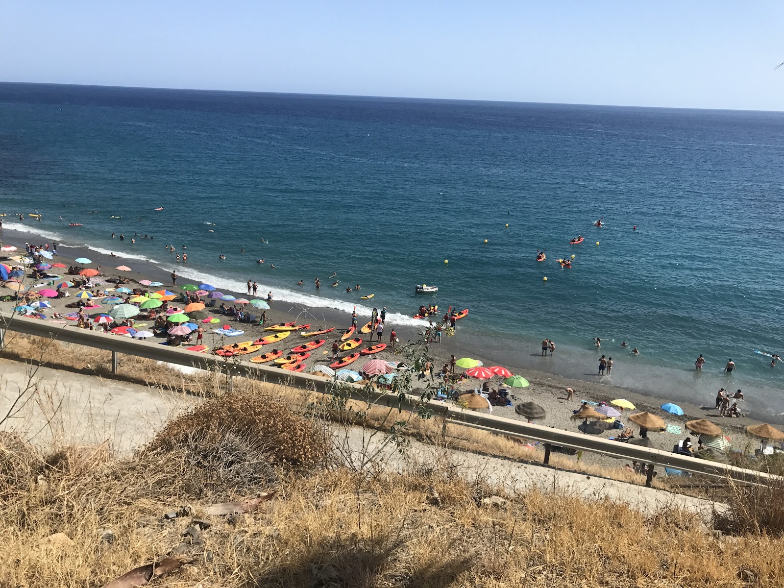
Regulars park early or accept the shuttle from the barrier gate — 3€ return, runs all day, saves the 20-minute downhill walk in flip-flops. Salamandra Multiaventura rents kayaks from the shore; the two-hour guided tour gets you into the sea caves under the Acantilados cliffs that you can't reach on foot.
The story behind Playa de Maro
The cove sits on a Roman road that once linked Cástulo to Malaca, and a small settlement here — recorded as Detunta — served as a waypoint between larger coastal towns. Under Muslim rule it became an agricultural hamlet producing silk and cane honey. After the Catholic Monarchs took the surrounding territory in 1487, the land passed through several hands; by 1582, Felipe de Armengol had established the first sugar cane mill in Maro, anchoring the village's economy for generations.
The four-storey brick aqueduct built by Francisco Cantarero — 28 arches, still standing — once carried water directly to that sugar factory and now feeds local irrigation. A parish was established in 1668, with the Virgin of Marvels named patron saint, and the late 17th-century church built on an earlier structure still stands in the village above the beach.
Good to know
From Nerja, take the N-340 toward Almería and follow signs through Maro village; parking fills fast in July and August, so arrive before 10:00 or use the shuttle. Skip the Cascada Grande waterfall nearby — summer irrigation typically leaves it dry. May through October is the reliable window.
May through October brings dry, sunny days with sea temperatures rising to around 22–23°C by midsummer — comfortable for swimming. December is the wettest month; winter days are mild at around 15°C but the beach is largely empty and the water cold.
Where is Playa de Maro?
More tickets & tours for Playa de Maro
Book directly at the provider
What travellers say about Playa de Maro
Kayaking was great and suitable for beginners, only a short distance to the waterfalls. Also the beach has all the facilities. And the water is crystal clear, simply perfect. There were quite many people, but not extremely crowded. We went on a weekday in mid July. The road downhill to the beach is around 20 minutes, but it’s quite picturesque. Also there is a bus shuttle to/from the top.
Playa de Maro is one of the most beautiful beaches in southern Spain, a true hidden paradise just outside Nerja. Surrounded by cliffs and lush nature, this small cove offers crystal-clear turquoise water that’s perfect for swimming, snorkeling, and kayaking. You can even paddle to nearby waterfalls and sea caves, which makes it feel like an adventure straight out of a postcard. The atmosphere is peaceful and unspoiled, far from the crowded tourist beaches. Bring water shoes, as the shore is pebbly, and don’t forget your camera — every corner of this place is stunning. Playa de Maro is an absolute must-visit for anyone looking to experience the natural beauty and tranquility of the Costa del Sol.
Great beach very secluded some small rocks when entering the water,bathrooms ,food concession, drinks We brought our own sandwiches rental beds, umbrella and kayaks great if it is windy its in a valley sheltered from the wind
We visited Playa de Maro, a stunning beach near Málaga recommended by friends. After parking, a 10-min walk (or bus) leads you there. The crystal-clear water is calm with fish, perfect for SUP or kayaking. It gets busy at lunchtime, and the uphill walk back is tiring, but it is worth it.
Beautiful water, turquoise! Beach is so so. Clean, no cigarette buds or the like. However it’s dark and full of rocks of various size. We came on a Saturday end of May 2021 (pandemic). Crowded but enough space on beach. When we arrived at 1130 almost empty, people started coming at around 1pm. Parking can be an issue. Only 1 euro for entire day but you park on side of road which meant we had to walk at least 100 metres downhill to get to beach. No food or drinks for sale so bring your own.
More of Nerja
Discover where to stay, what to do and the best deals for your trip.
Explore Nerja →More attractions in Nerja
All of Nerja →
Background adapted from Wikipedia (CC BY-SA) · map data © OpenStreetMap contributors · ratings & place photos via Google · other photos with per-image credit. Ticket links may earn us a commission at no extra cost to you.