
Playa de Bajondillo
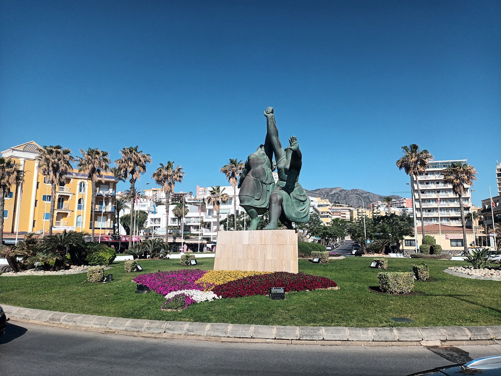
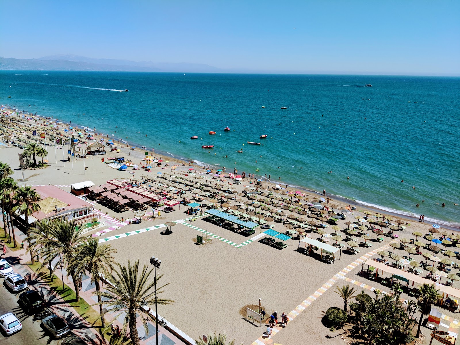
The sand here is darker than you might expect — almost grey-gold where it meets the water — and the beach stretches a full kilometre between the rocky outcrop of El Morro at one end and the promenade that bleeds into the rest of Torremolinos at the other. It is forty metres wide, which means space, even in summer.
Cuesta del Tajo, the steep pedestrian path down from the clifftop, is lined with craft stalls and brings you out almost exactly at the waterline. The Casa de los Navajas, a 1925 neo-Mudéjar palace, sits just a few metres back from the shore — free to enter every day of the year, easy to walk past if you don't know to look.
💛 What travellers fall for
People who come back tend to time the descent for late afternoon, when the light hits El Morro sideways and the chiringuitos are just beginning to set up speakers. The assisted bathing service — amphibious chair, cranes, the works — runs 11:00 to 20:00 and is worth knowing about if you're travelling with someone who needs it. Book ahead on 674 335 971.
The story behind Playa de Bajondillo
The cliffs above Bajondillo have been occupied for around 100,000 years — the Cave of Bajondillo is one of the documented prehistoric sites in the area, placing human presence here long before any town took shape. For most of recorded history the settlement at El Bajondillo was a small fishing village, its whitewashed houses close to the water, its economy oriented entirely toward the sea.
The clifftop above, between Bajondillo and La Carihuela, was chosen in 1755 as the site for the Castillo de Santa Clara. The Torre de los Molinos — also known as Torre Pimentel — still stands as a ruin visible from Cuesta del Tajo, a remnant of the milling activity that once defined this stretch of coast before the beach itself became the draw.
Good to know
The municipal lift from Plaza del Panorama runs year-round and costs 50 cents — far easier than the Cuesta del Tajo slope if you're carrying anything. Lifeguards are on duty 1 June to 30 September. Bus lines L-2 and M-123 stop on the promenade beside the tourist office. April through October gives you reliable sun; July and August are the driest months by a wide margin.
Summer runs hot and almost entirely dry — July averages just 1.7 mm of rain and over eleven hours of daily sun, with daytime highs pushing 29–31°C. Outside June to September the beach is quieter and cooler, around 16–18°C in the winter months, but the sun still shows up for roughly five hours a day even in December.
Where is Playa de Bajondillo?
More tickets & tours for Playa de Bajondillo
Book directly at the provider
What travellers say about Playa de Bajondillo
Visited but only to walk the beach and get a nice cold San Miguel on my way back from the sandcastle photo point. If you are rich and lazy or just rich and have money to spare then this could be the BEST place to put your feet up. But at 10€ a day just for a lounger could be pricey if there are a few of you and you here for a few days but even more than that is 150€ for (can't remember the name) a cozy padded garden seat arrangement under your own parasol with tabel and bar / waiter(ess) service. This is per site not per person so if a few of you and you there only for one day as you have other places to visit then this could be the most relaxing beach experience you could ever get to my knowledge the whole sea front parade has this facility despite all beach areas having different names. There seems to have no expense spared on making the places and entrances looking more than welcoming
Food lovely. Great rooms. Great maid service. Good entertainment. But finishes a bit early 10pm. Late bar till 7.30am . No disco
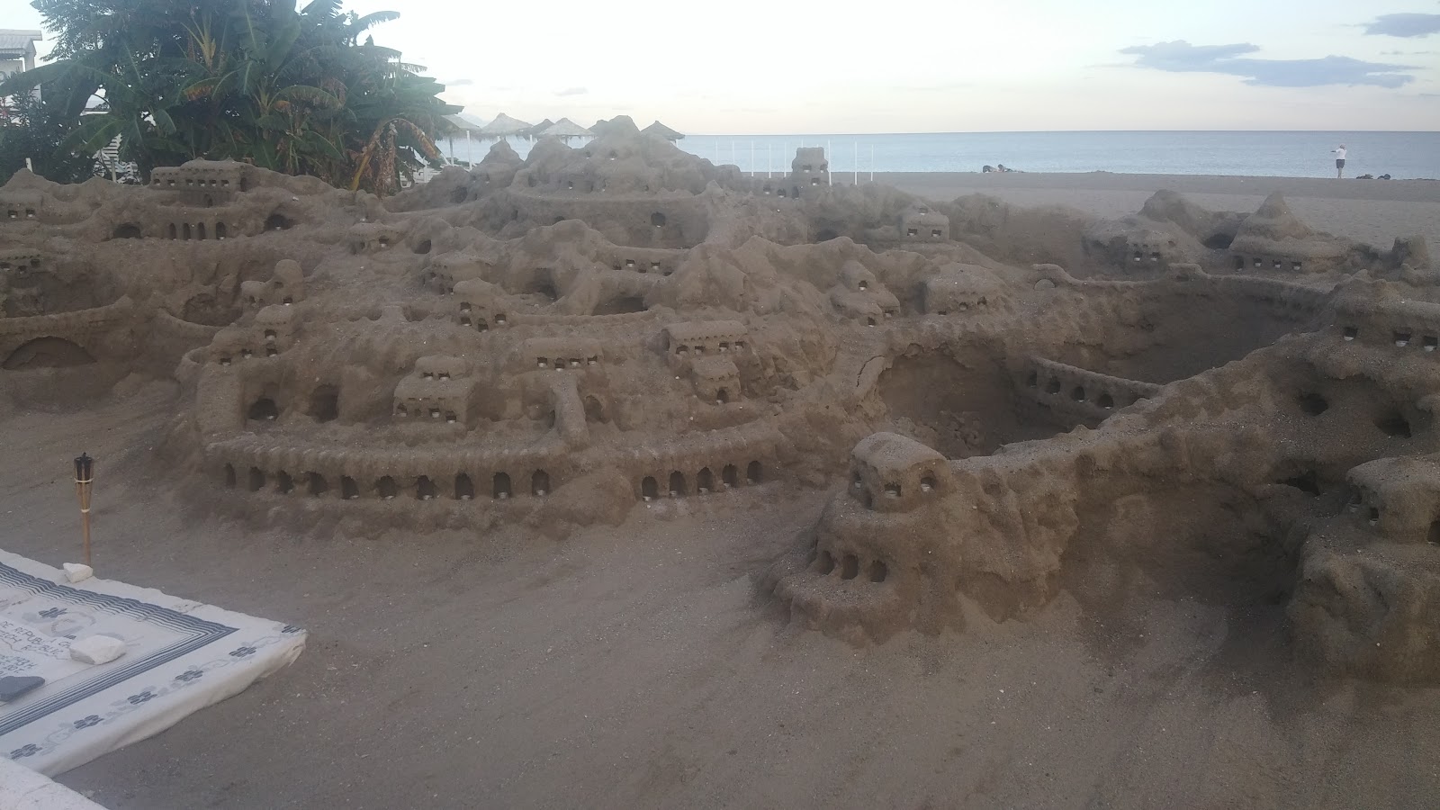
Nice stretch of beach with a safe promenade to walk along. Sometimes there are lovely sand sculptures to see - this time it was Queen. Lots of eating places nearby and public toilets along the way.
Clean and well-kept beach. Plenty of opportunities for refreshments and relaxation.
Playa Bajondillo is the beach that is closest to many hotels, restaurants and the center of town in Torremolinos. It's a very long and sandy beach with many restaurants, chiringuitos and the usual Spanish beach resort attractions.
More of Torremolinos
Discover where to stay, what to do and the best deals for your trip.
Explore Torremolinos →More attractions in Torremolinos
All of Torremolinos →
Background adapted from Wikipedia (CC BY-SA) · map data © OpenStreetMap contributors · ratings & place photos via Google · other photos with per-image credit. Ticket links may earn us a commission at no extra cost to you.