
Nietzsche Path (Sentier Friedrich Nietzsche)
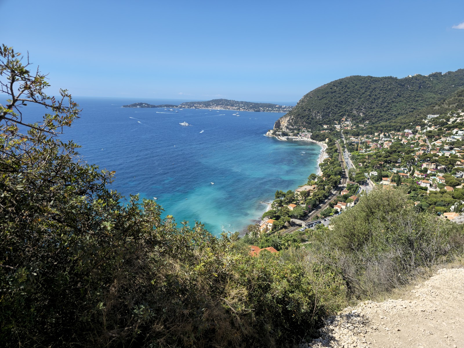
The path begins at sea level, just across the Basse Corniche from the small station at Èze-bord-de-Mer, and it climbs 1,325 feet to the medieval village above. The trailhead sits to the left as you approach the walled village, just before the gates of Le Château de la Chèvre d'Or. What starts as cemented track gives way to steps, then paved stone, the Mediterranean appearing and disappearing between the trees as you rise.
The path carries a name because Friedrich Nietzsche walked it, repeatedly, during the winter of 1883–84. He was living in Èze, shaking off migraines and the estrangements from Wagner and Schopenhauer that had marked the previous decade. On this climb, he worked out the ideas that became the third part of Thus Spoke Zarathustra.
💛 What travellers fall for
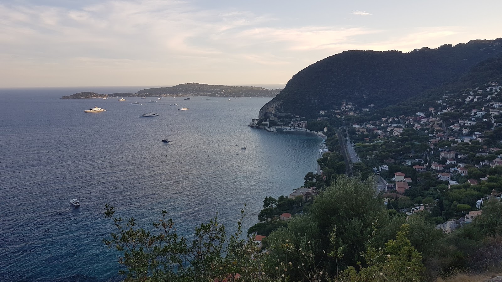
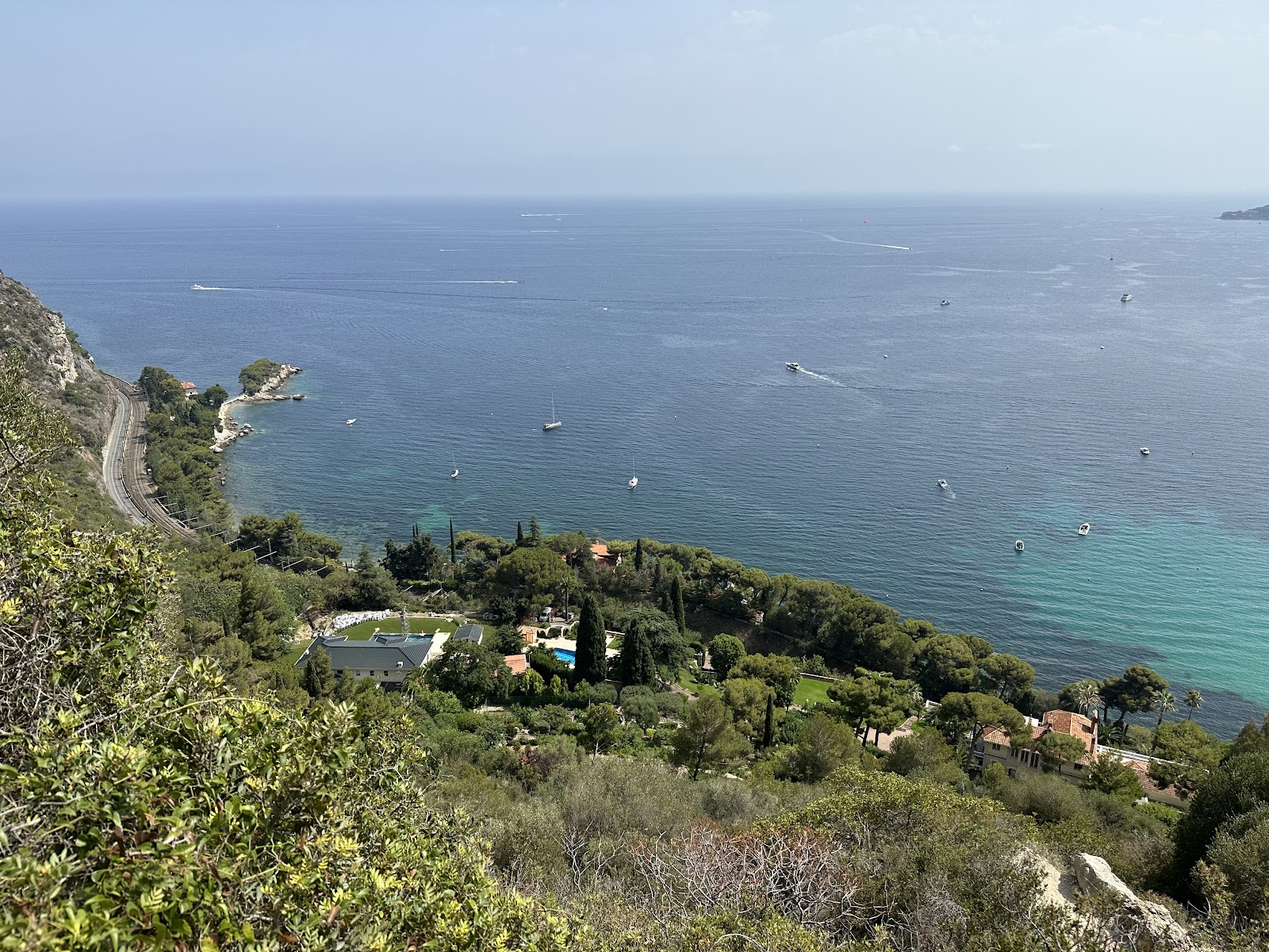
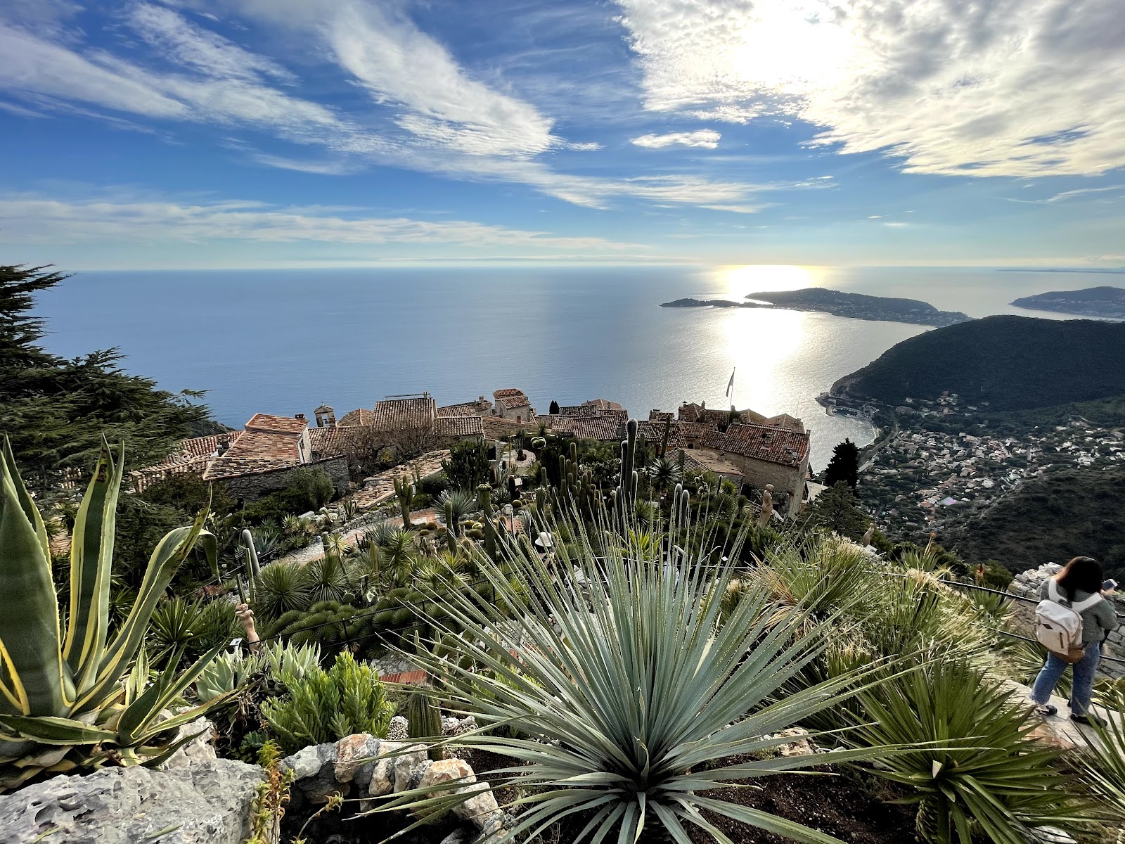
People who've done it more than once tend to go early — the village gets busy in summer and the trail reflects that. The descent (around 45 minutes) is a gentler use of the route than the full upward grind. Either way, the sea views through the tree cover are the thing that stays with you, not the philosophy.
The story behind Nietzsche Path (Sentier Friedrich Nietzsche)
Nietzsche arrived in Èze in December 1883, one of several winters he spent moving between the warmer edges of France and northern Italy, seeking relief from the severe migraines that had plagued him for years. He walked this mountain trail regularly during his stay, which lasted until April 1884. The thinking he did on these climbs fed directly into the third part of Thus Spoke Zarathustra — a book structured, like the path itself, around ascent.
He later wrote of the period: 'I slept well, I laughed a lot, and I found a marvellous vigour and patience.' Locals eventually named the route after him, though the exact date of that designation is unrecorded. The path was already there; the name came later, as recognition often does.
Good to know
Take a TER train from Nice Ville — 15 minutes to Gare d'Èze-sur-Mer, every half hour. The path is free; the Exotic Garden at the top charges 4€. Wear proper shoes — the terrain turns slippery after rain. Not suitable for anyone with mobility issues: it's steep, stepped, and unassisted throughout.
May through October is the most reliable window — warm and mostly dry, with July averaging over eleven hours of daily sun. The trail can turn muddy and slippery between November and March, when rain is heaviest; if you're going in winter, check conditions before you set out.
Where is Nietzsche Path (Sentier Friedrich Nietzsche)?
More tickets & tours for Nietzsche Path (Sentier Friedrich Nietzsche)
Book directly at the provider
What travellers say about Nietzsche Path (Sentier Friedrich Nietzsche)
What a beautiful hike! It goes straight up, and my phone said I climbed 95 floors (over 75 minutes). It is definitely exercise, but with a great view. It is also amazing when you reach the top.
Read and thank me later. Well, well, well, first of all, you better have a hiking shoes. If you walk slow it can take 1 hour and 23 minutes to walk down slowly! Found 2 writings on the stairs that says 6-11-65, well, I will NOT be surprised if since year 1965, nobody has took care of this trail! It has sharp tiny rocks almost 2/3 of the trail! WTH 🤦🏻♂️ Stay safe and healthy everyone.
Descent from Eze village took us 1 hour in a leisure sneakers. I certainly don’t recommend it for the view-very few good spits close to an end, but mostly it takes you through the forest. If you are up to hiking and are prepared-fine, but not for casual walkers in flipflops, sandals or heels. Never. Take the bus from Nice or else instead and visit Botanic garden in Eze village-you’ll catch the views!
spontaneously went on this hike so i didnt have proper shoes (only flip-flops). if you have proper shoes i think this is a pretty moderate hike. has some smooth slippery rocks so be careful. pretty difficult! But definitely worth it
saw many reviews saying not to underestimate this hike. so i thought i problem solved by busing to Eze and hiking downhill, wrong. It is still a bit of a challenge if you’re not well equipped. In daily tennis shoes, my knees were feeling it that evening. Besides that though the hike has beautiful views and I think everyone should go if they can, just prepare well!
More of Èze
Discover where to stay, what to do and the best deals for your trip.
Explore Èze →More attractions in Èze
All of Èze →
Background adapted from Wikipedia (CC BY-SA) · map data © OpenStreetMap contributors · ratings & place photos via Google · other photos with per-image credit. Ticket links may earn us a commission at no extra cost to you.