
Montmartre
Hilltop village of artists, vineyards and the white domes of Sacré-Cœur.
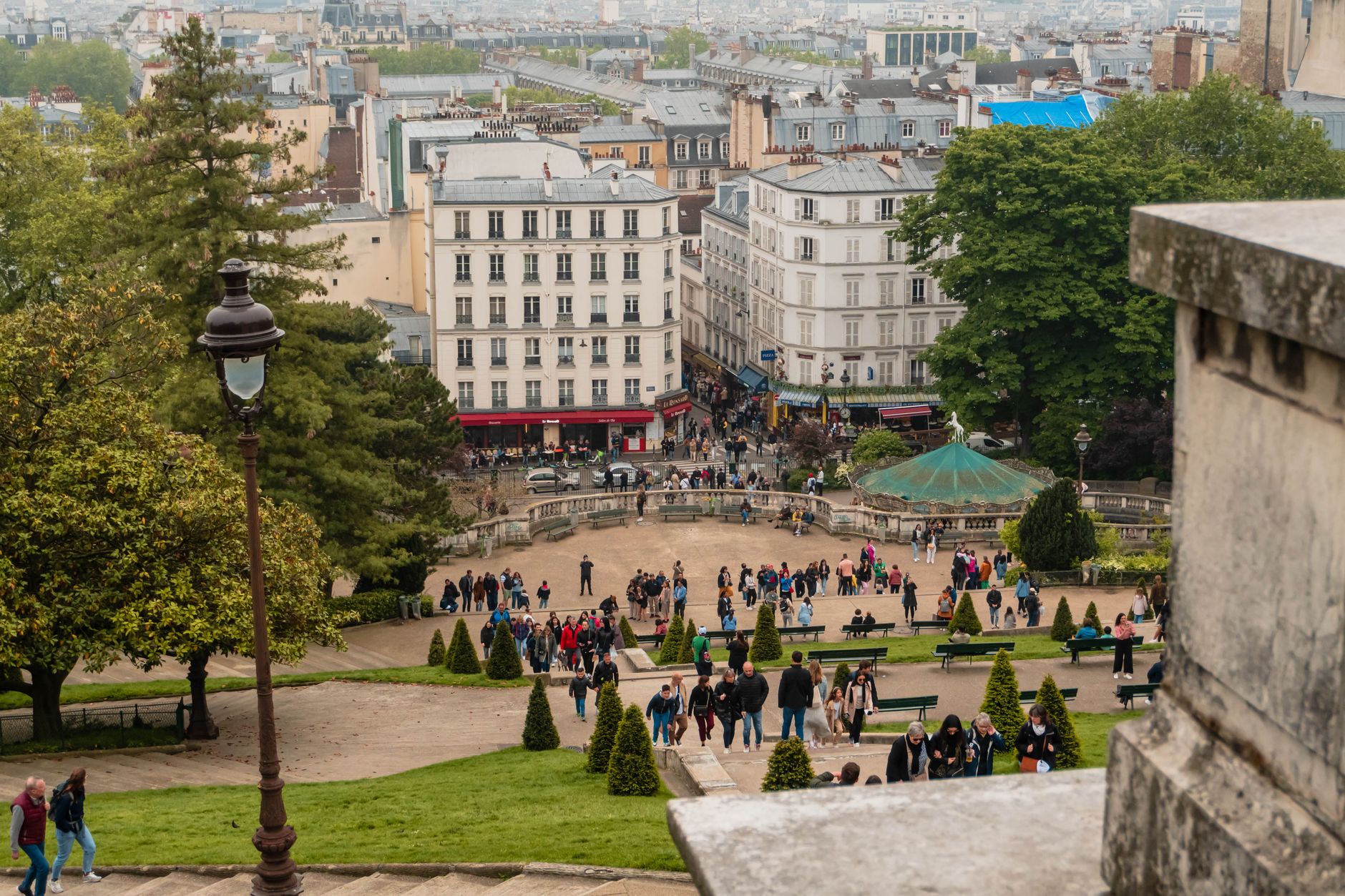
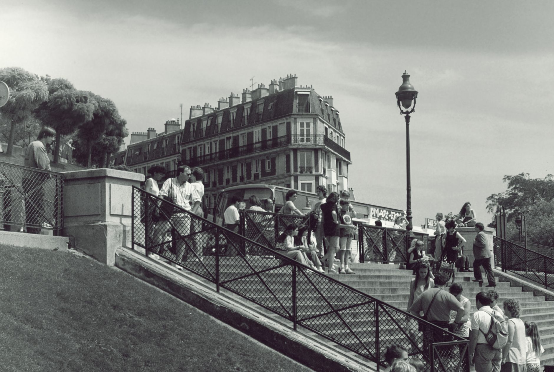
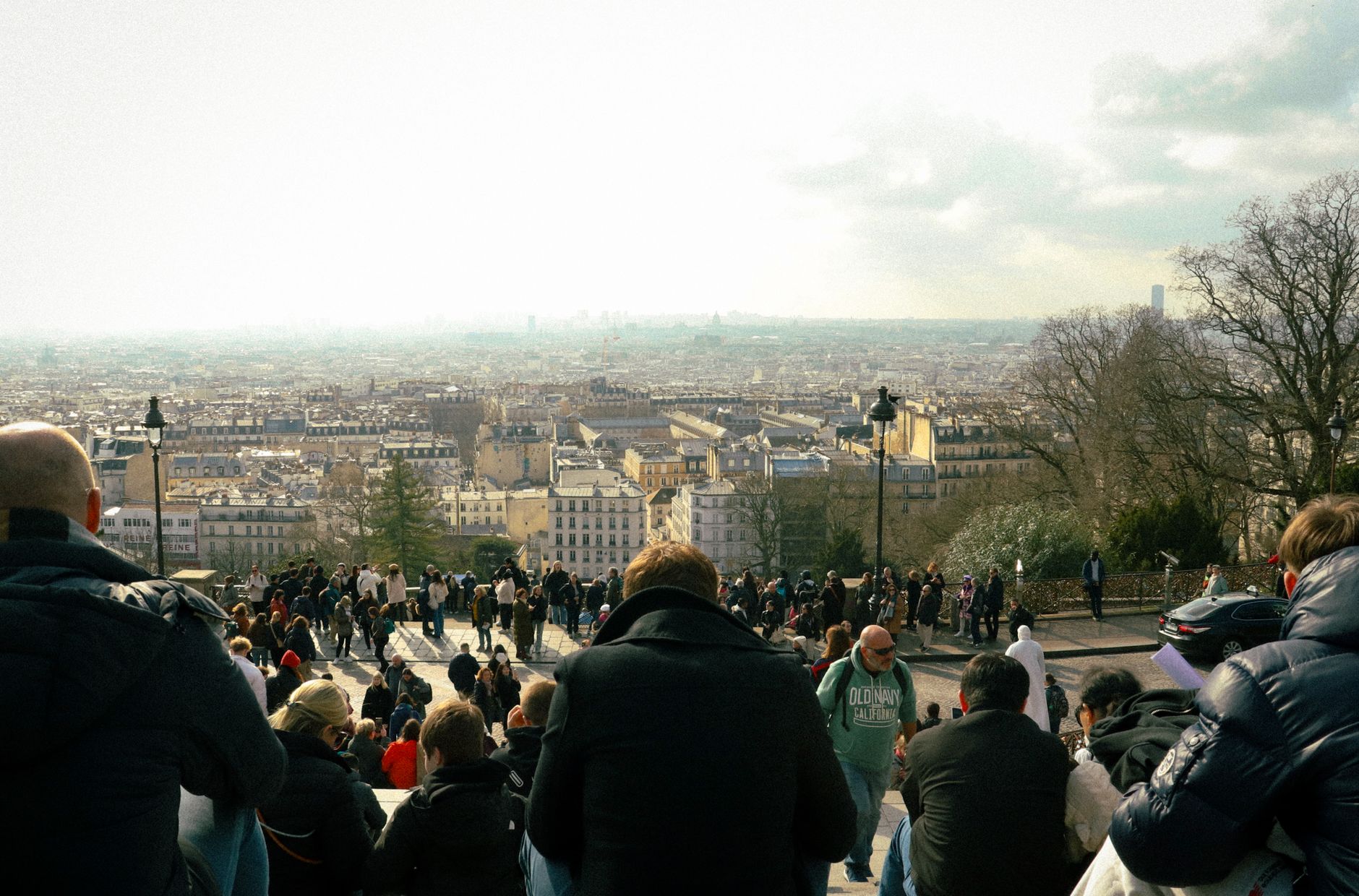
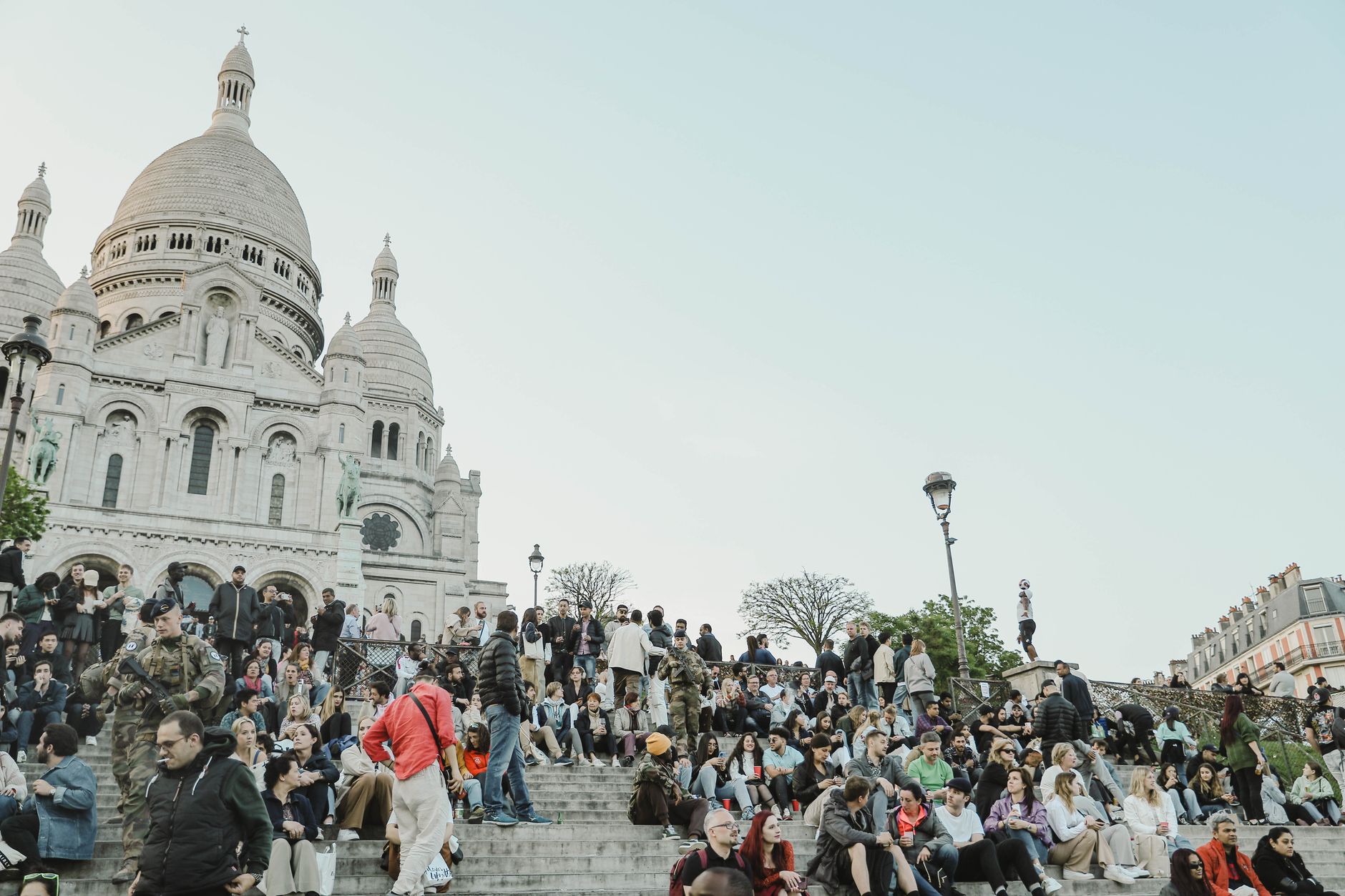
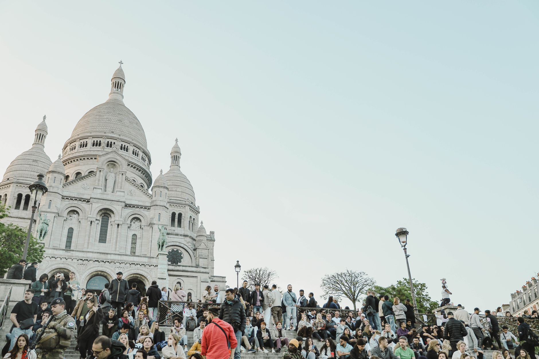
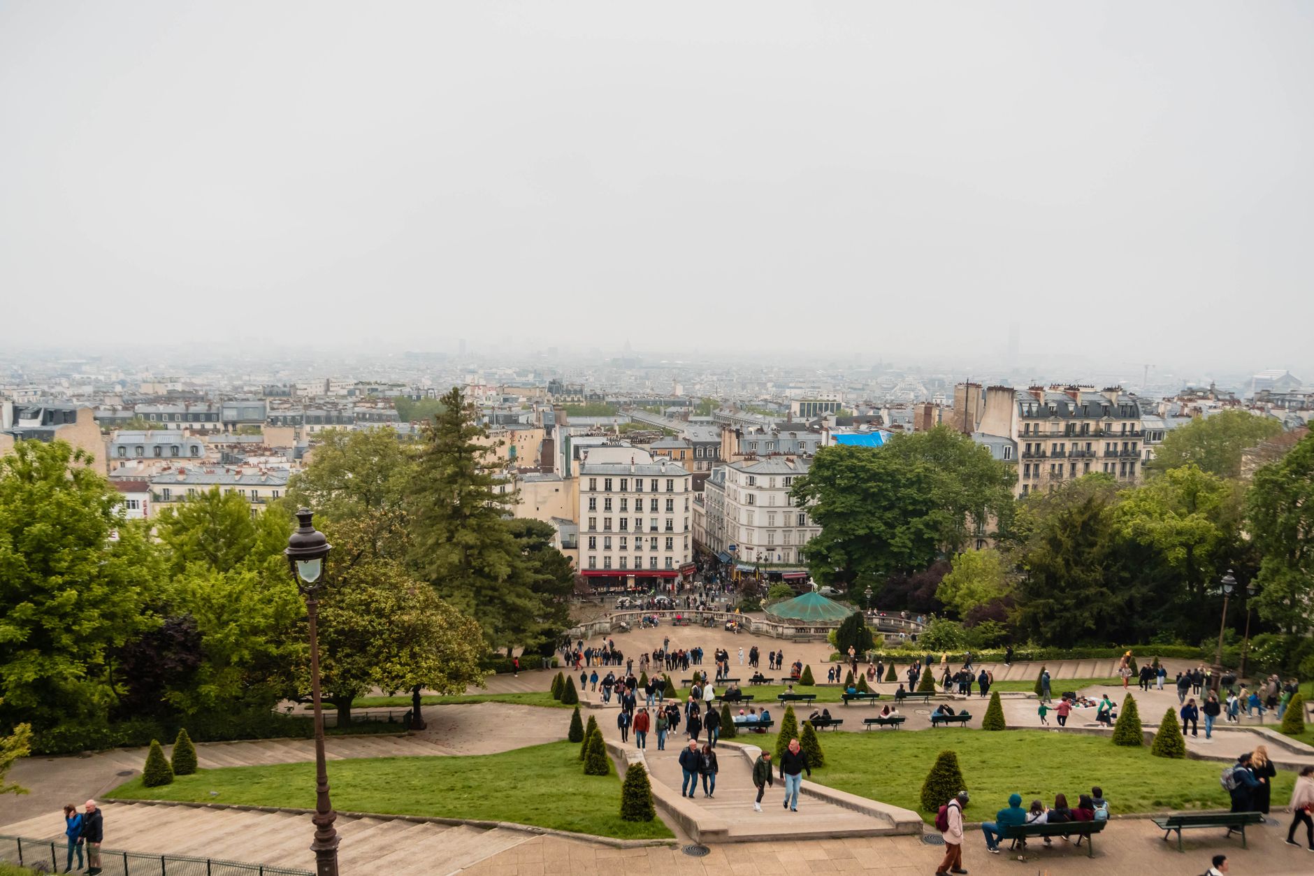
Montmartre sits above the rest of Paris on a limestone butte, and the city below never quite lets you forget it — glimpsed at the end of a lane, or spread wide from the steps of Sacré-Cœur. The hill has its own logic: streets narrow and curve, the gradient is real, and the vineyard on Rue des Saules still produces a few thousand bottles a year.
This was a separate commune until 1860, and it still carries that separateness. Place du Tertre has been a village square since 1635, originally on abbey land. Artists set up easels there every day, as they have for generations — the ritual has outlasted the bohemia that made it famous.
💛 What travellers fall for
People who come back tend to walk Rue Lepic early, before the market stalls thin out, and find a table at one of the cafés near the Moulin de la Galette. They know to step inside Saint-Pierre de Montmartre — Paris's oldest church, built 1147 — rather than queueing for Sacré-Cœur's dome. The €6 ticket up the dome is worth it once; the church is free and almost always quiet.
How Montmartre came to be
The name likely comes from Mons Martis — Mount of Mars — though an 8th-century chronicler called it Mons-Mercurii. A Benedictine abbey was founded here, and a chapel marked the spot where Saint Denis was said to have been martyred. By 1529 the western slope had its first windmills; thirteen would eventually turn here, of which only two survive. In 1790 it became the commune of Montmartre, with its town hall on Place du Tertre, and remained outside Paris until annexation on 1 January 1860.
The late 19th century brought a different kind of history. Van Gogh lived at 54 Rue Lepic from 1886 to 1888. Picasso moved into the Bateau-Lavoir — a former piano factory divided into twenty workshops — and painted Les Demoiselles d'Avignon there. Toulouse-Lautrec, working from addresses near Pigalle, made the Moulin Rouge's name with a poster in 1891. Sacré-Cœur rose through all of it, construction running from 1875 to 1914 under five successive architects, consecrated finally in 1919.
Who and what shaped it
People who shaped it
Landmark buildings
Plan your visit
On the map
When to go
Background & history adapted from Wikipedia (CC BY-SA) · specs from Wikidata (CC0) · weather from Open-Meteo · map data © OpenStreetMap contributors · photos from Wikimedia Commons / Unsplash with per-image credit. No third-party reviews or social posts reproduced.