
Monteverde Cloud Forest Reserve
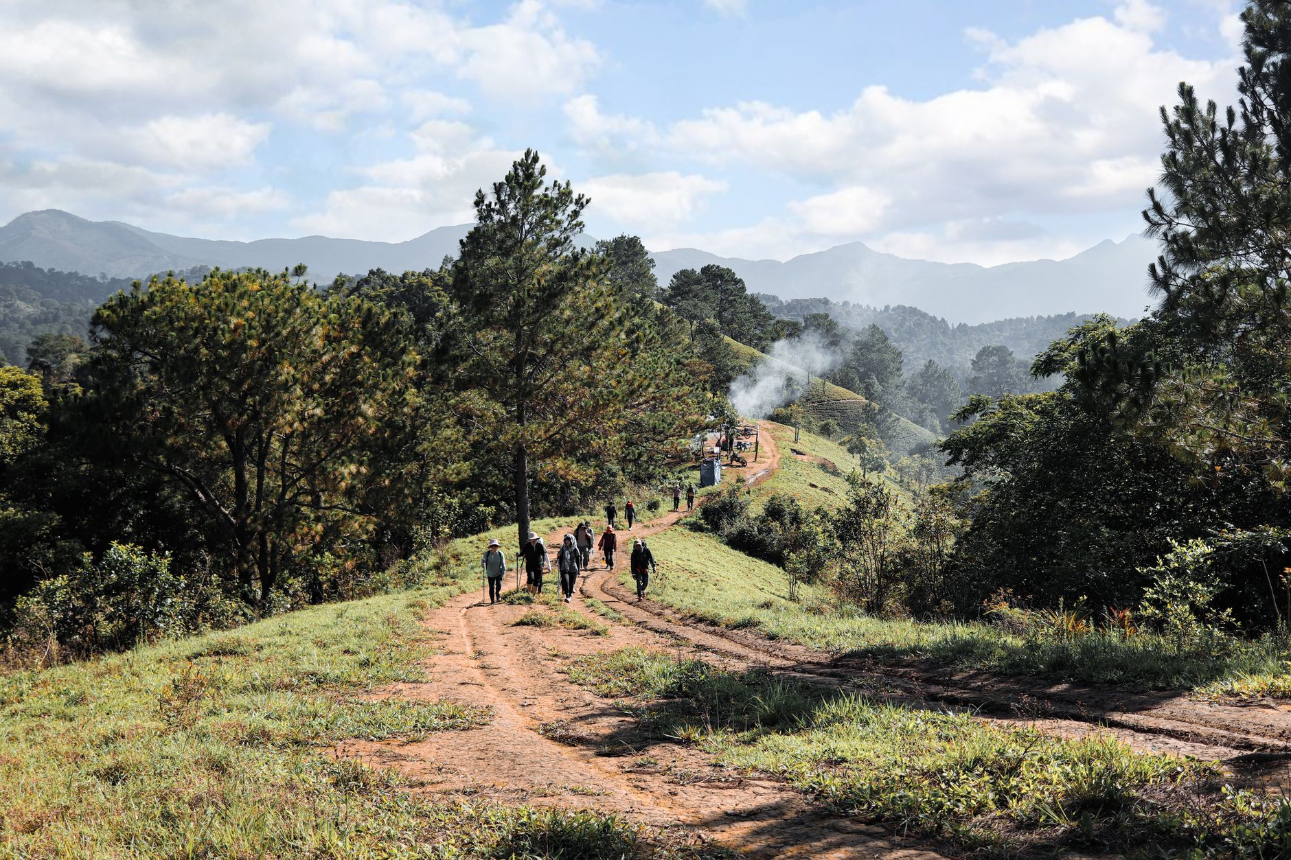
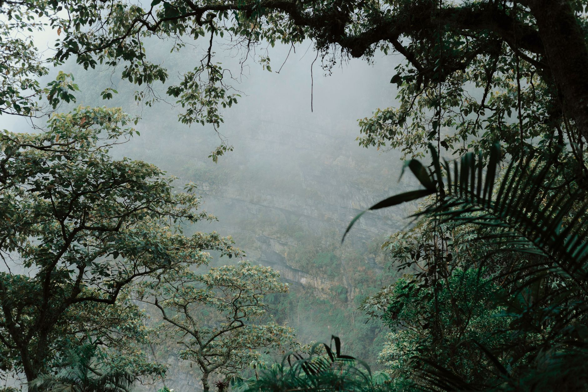
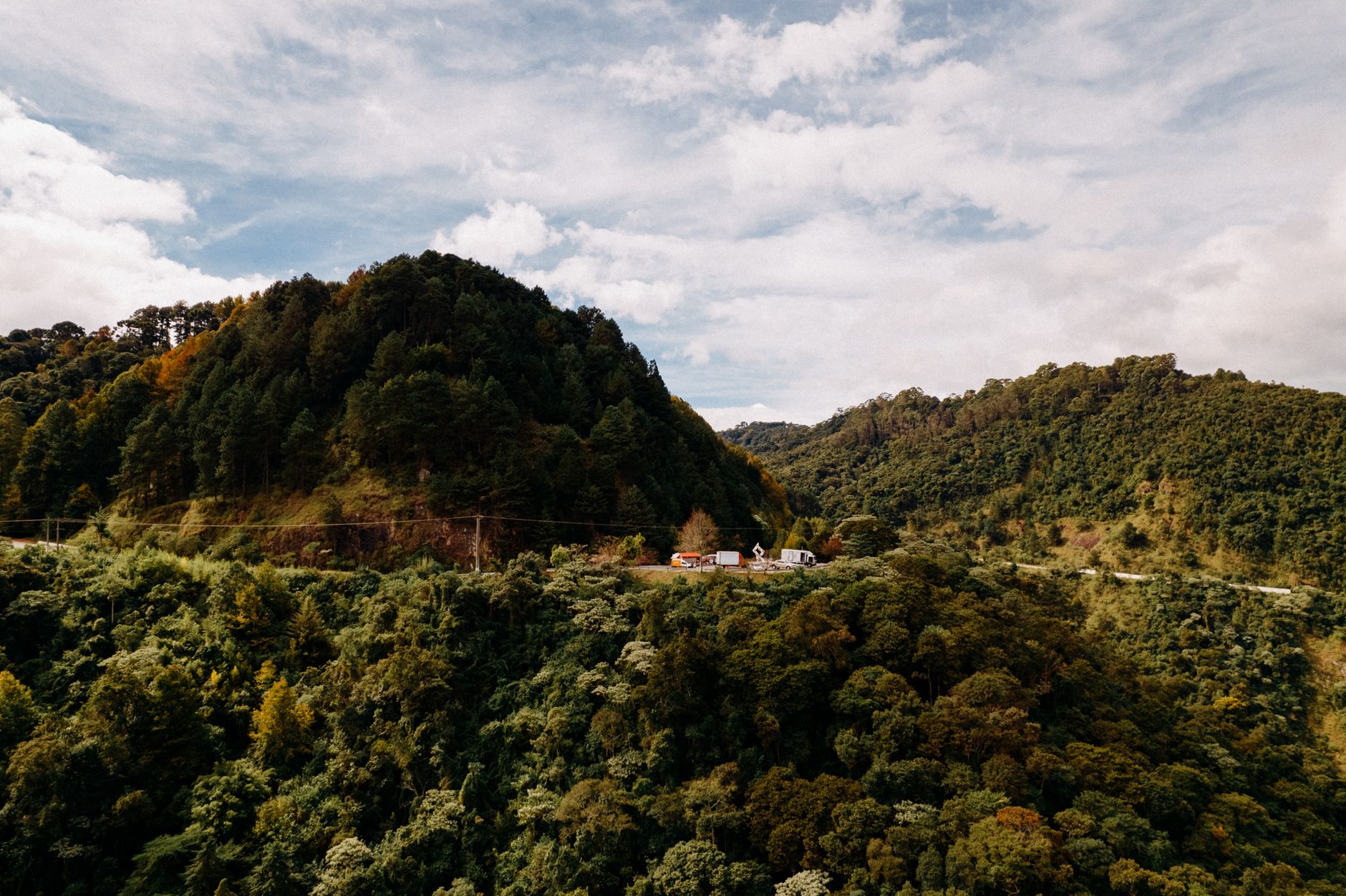
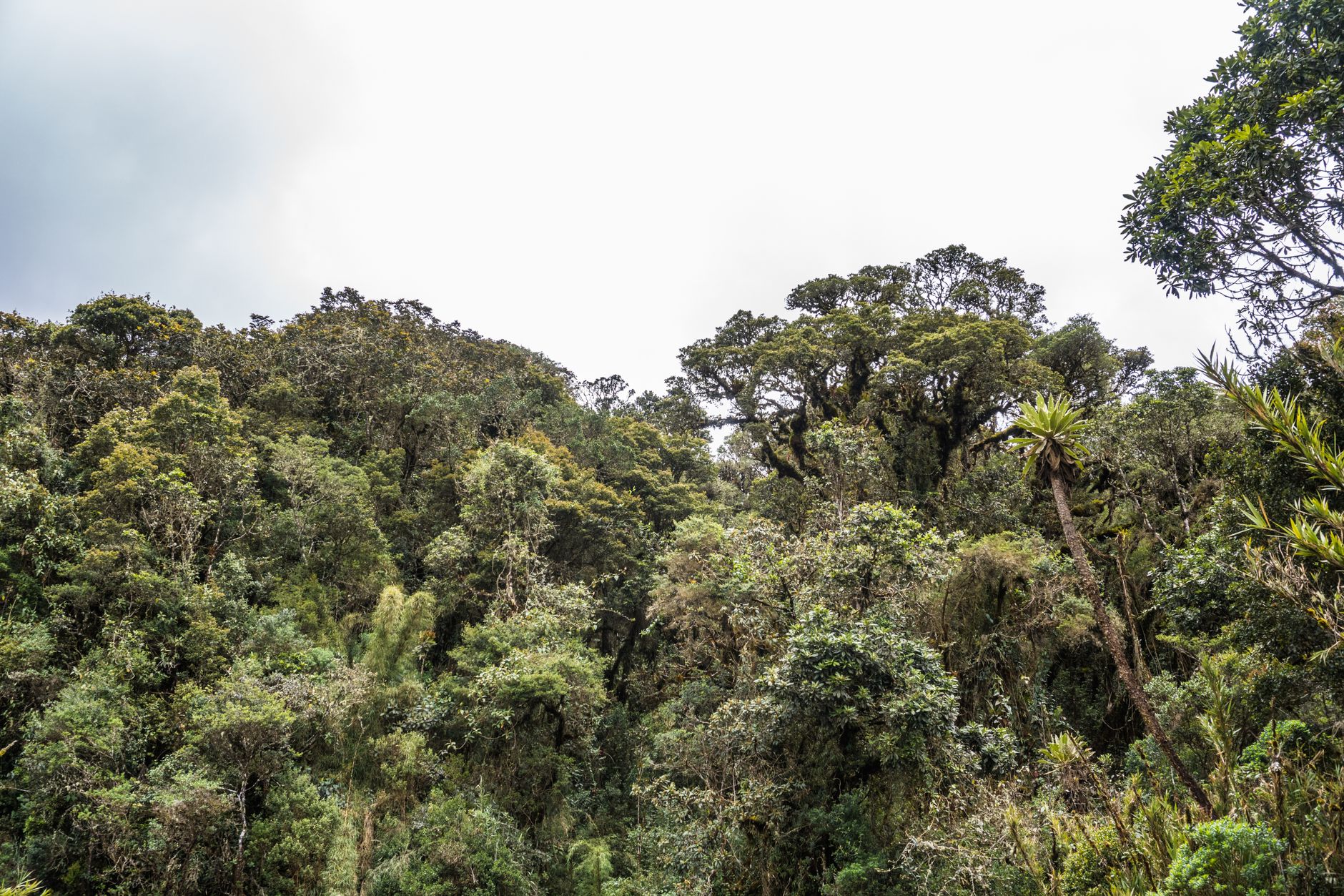
At Monteverde, the clouds don't pass through — they live here. The forest sits inside them most of the day, dripping and close, the trees wrapped in mosses and bromeliads that exist nowhere else at lower elevations. You walk the trails at canopy height on the Wilford Guindon suspension bridge, a hundred metres of swaying steel above the understory, and the mist swallows the far end before you reach it.
Since December 2025, the reserve runs on a circuit-and-time-slot system — no day passes, no re-entry, 26 people per slot. Book before you travel, choose your trail, and check in first at the Harriot Powell Visitor Center, about a mile from the entrance.
How Monteverde Cloud Forest Reserve came to be
In 1951, eleven Quaker families from Alabama arrived in Costa Rica looking for farmland and a quieter life, and named their new home Monteverde — Green Mountain — for the forest that never turned brown. The reserve itself came later, shaped by a small group of scientists who recognized what was here. Graduate student George Powell, Costa Rican biologist Adelaida Chaverri, and wildlife specialist Christopher Vaughn worked alongside Tropical Science Center member Joseph Tosi to establish a private preserve, securing an initial donation of 328 hectares from the Guacimal Land Company in the early 1970s.
The reserve was formally founded in 1972 and has grown to over 10,500 hectares. In 1975, 431 people came — mostly scientists and birders. By 1991, that number had crossed 40,000.
Who and what shaped it
People who shaped it
Landmark buildings
See Monteverde Cloud Forest Reserve in motion
Plan your visit
On the map
When to go
Temperatures hold steady between 12°C and 20°C year-round, with humidity rarely dropping below 80%, so pack a waterproof layer regardless of season. The dry months from December through April bring the lightest rainfall and the best visibility on the trails; May through November soaks the forest thoroughly but thins the crowds.
Right now
Background & history adapted from Wikipedia (CC BY-SA) · specs from Wikidata (CC0) · weather from Open-Meteo · map data © OpenStreetMap contributors · photos from Wikimedia Commons / Unsplash with per-image credit. No third-party reviews or social posts reproduced.