
Monterrico
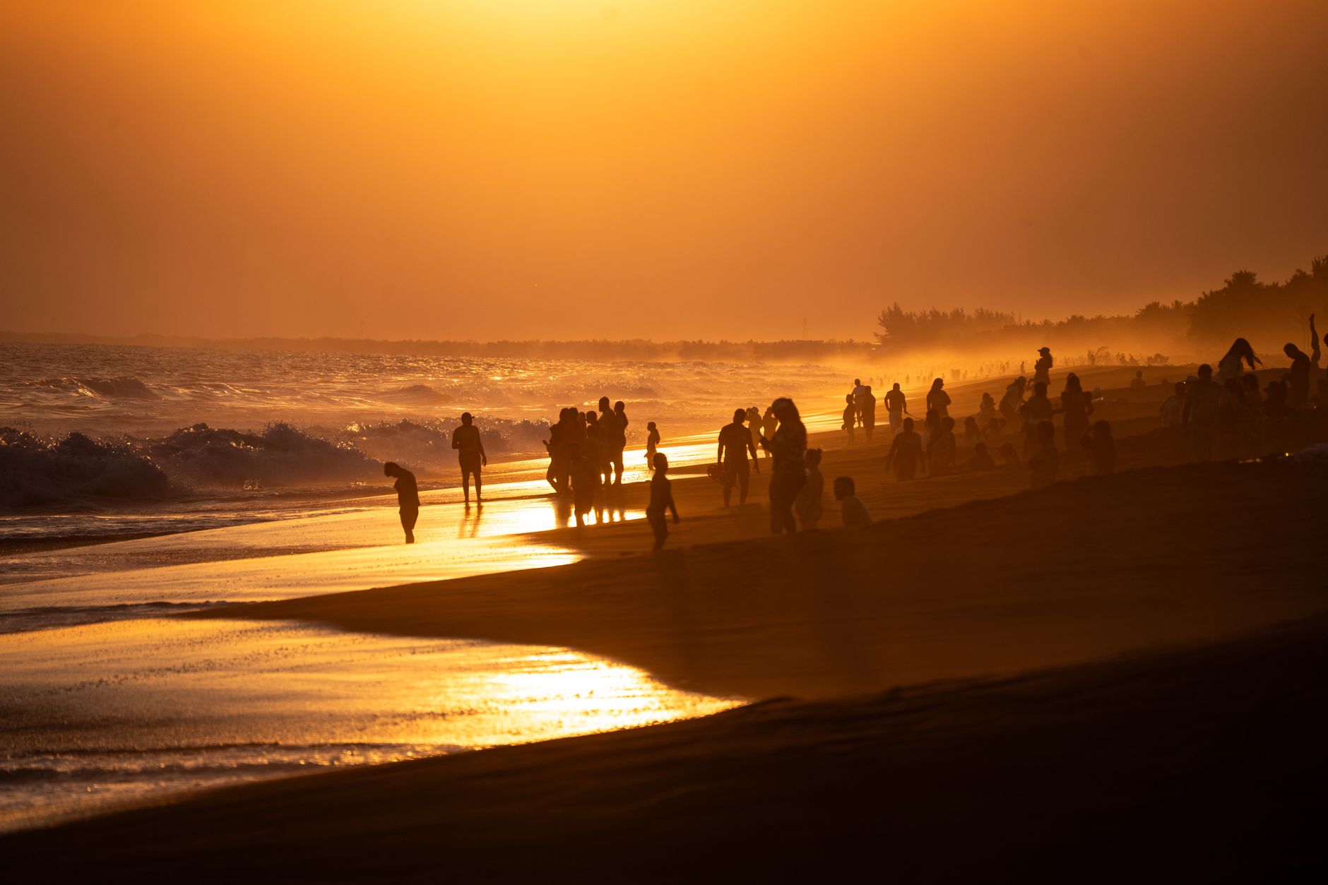
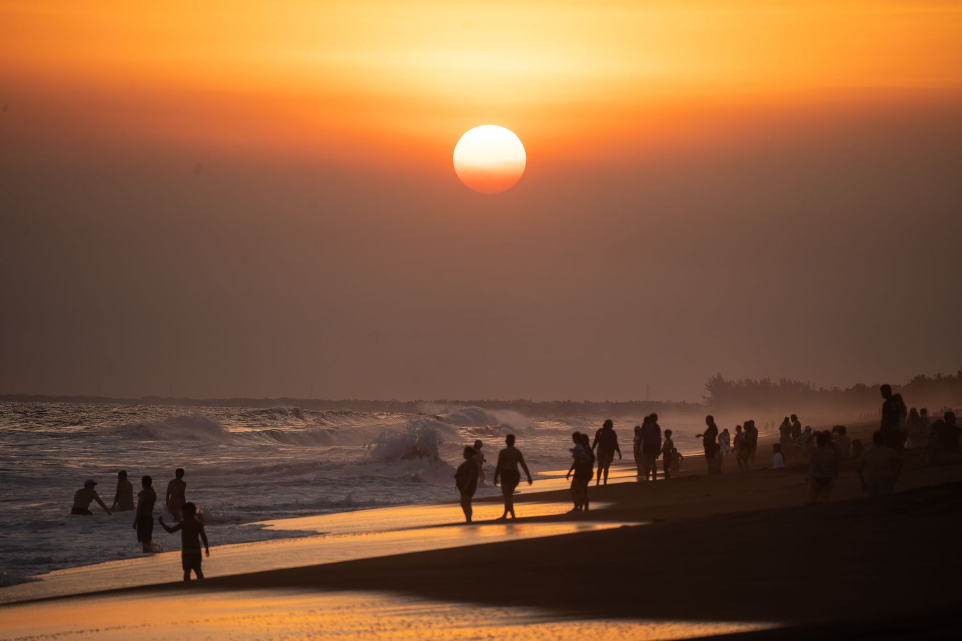
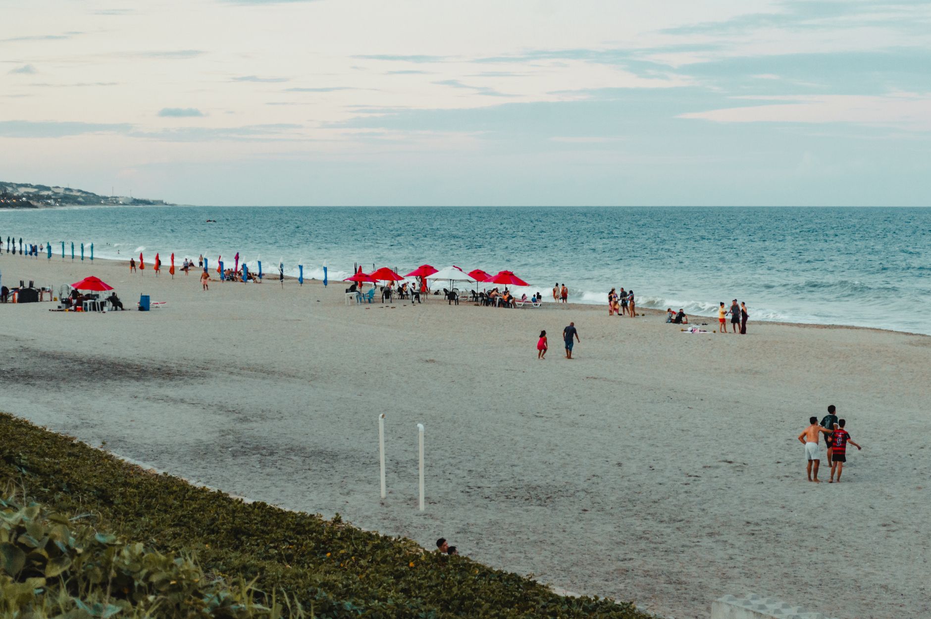
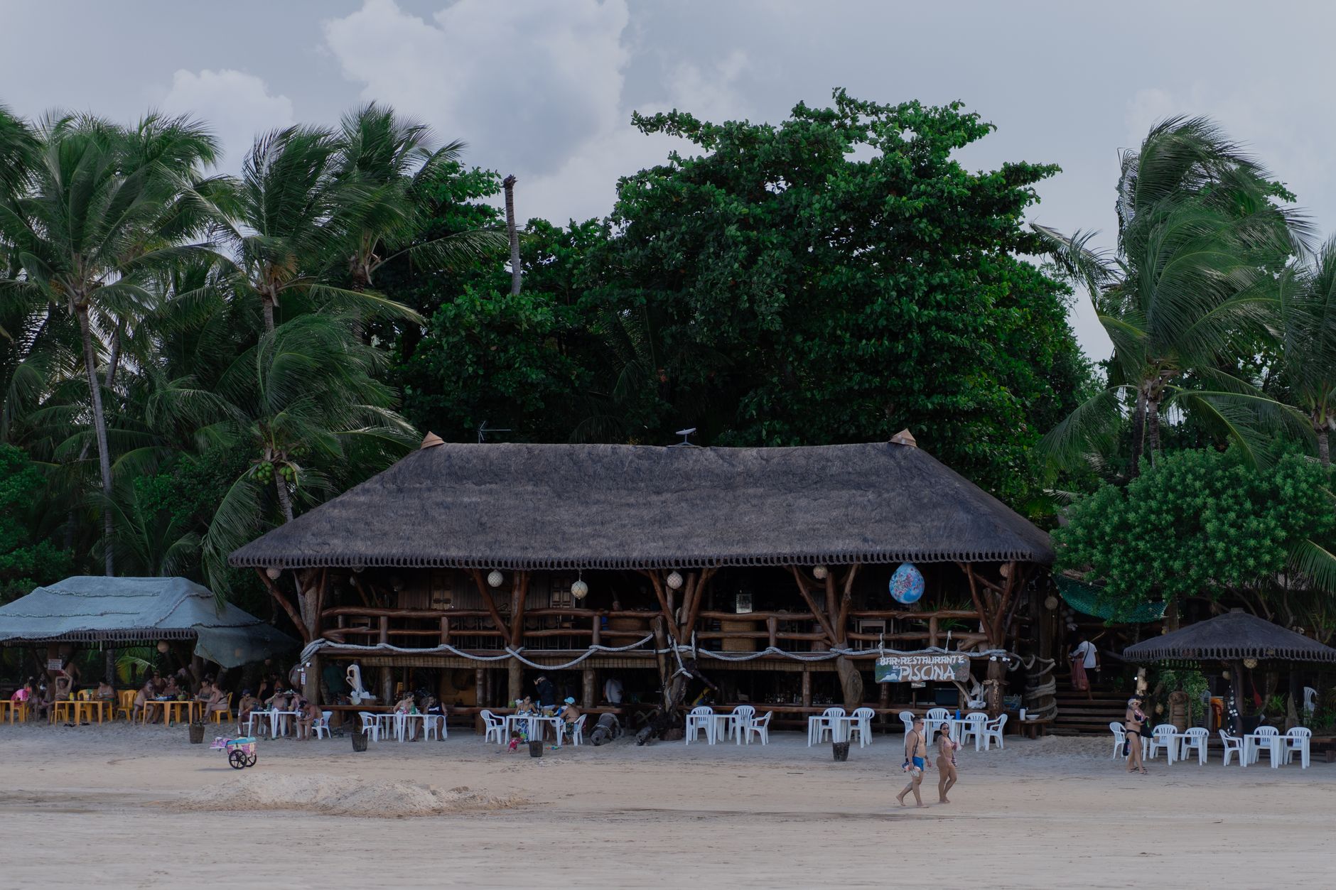
The sand at Monterrico is black — not grey, not dark brown, but the deep volcanic black of the Pacific coast — and by mid-morning it holds enough heat to make you move fast between the waterline and whatever shade you've found. This is where Guatemala City comes to exhale on weekends: a small fishing village on a thin strip of land between the ocean and a network of mangrove channels, where pigs wander the main road and coconuts pile up at the base of palms all over town. For two quetzales a vendor will open one fresh.
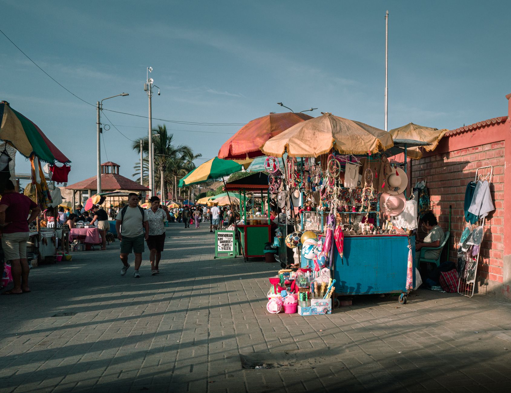
The place runs on its own rhythm. Ferries cross from La Avellana whenever they fill up. Tuk-tuks handle the longer stretches. Most of what you'll want is within walking distance of the beachfront.
💛 What travellers fall for
People who come back tend to time their visit around turtle season. Between June and December there's a real chance of watching females come ashore after dark. The daily release at the Tortugario — hatchlings making for the water just before sunset — draws a small crowd every evening, and it's worth being there early to get close.
How Monterrico came to be
Monterrico grew through the 19th century as a fishing community, its families working the mangrove channels and the open Pacific with small boats. That livelihood shaped the village's layout and pace, and fishing remains visible in daily life.
In 1981 the Universidad de San Carlos established CECON — the Centro de Estudios Conservacionistas — which created the Biotopo Monterrico-Hawaii, a nature reserve protecting roughly 20 kilometres of coastline, beach, and mangrove. The reserve formalized what the landscape had always been: a nesting ground for endangered sea turtles. The Tortugario in the centre of town followed, collecting eggs, allowing them to hatch under protection, and releasing the young each evening.
Who and what shaped it
Landmark buildings
See Monterrico in motion
Plan your visit
On the map
When to go
Monterrico sits barely above sea level in a tropical monsoon climate, warm year-round with highs consistently around 31–33°C. The dry season runs roughly November through April — January sees almost no rain — while June through November brings heavy rainfall and the wettest month, September. If you want sun and calm seas, aim for the dry months; if you want turtles, the wet season is when they arrive.
Right now
Background & history adapted from Wikipedia (CC BY-SA) · specs from Wikidata (CC0) · weather from Open-Meteo · map data © OpenStreetMap contributors · photos from Wikimedia Commons / Unsplash with per-image credit. No third-party reviews or social posts reproduced.