
Menara Pavilion
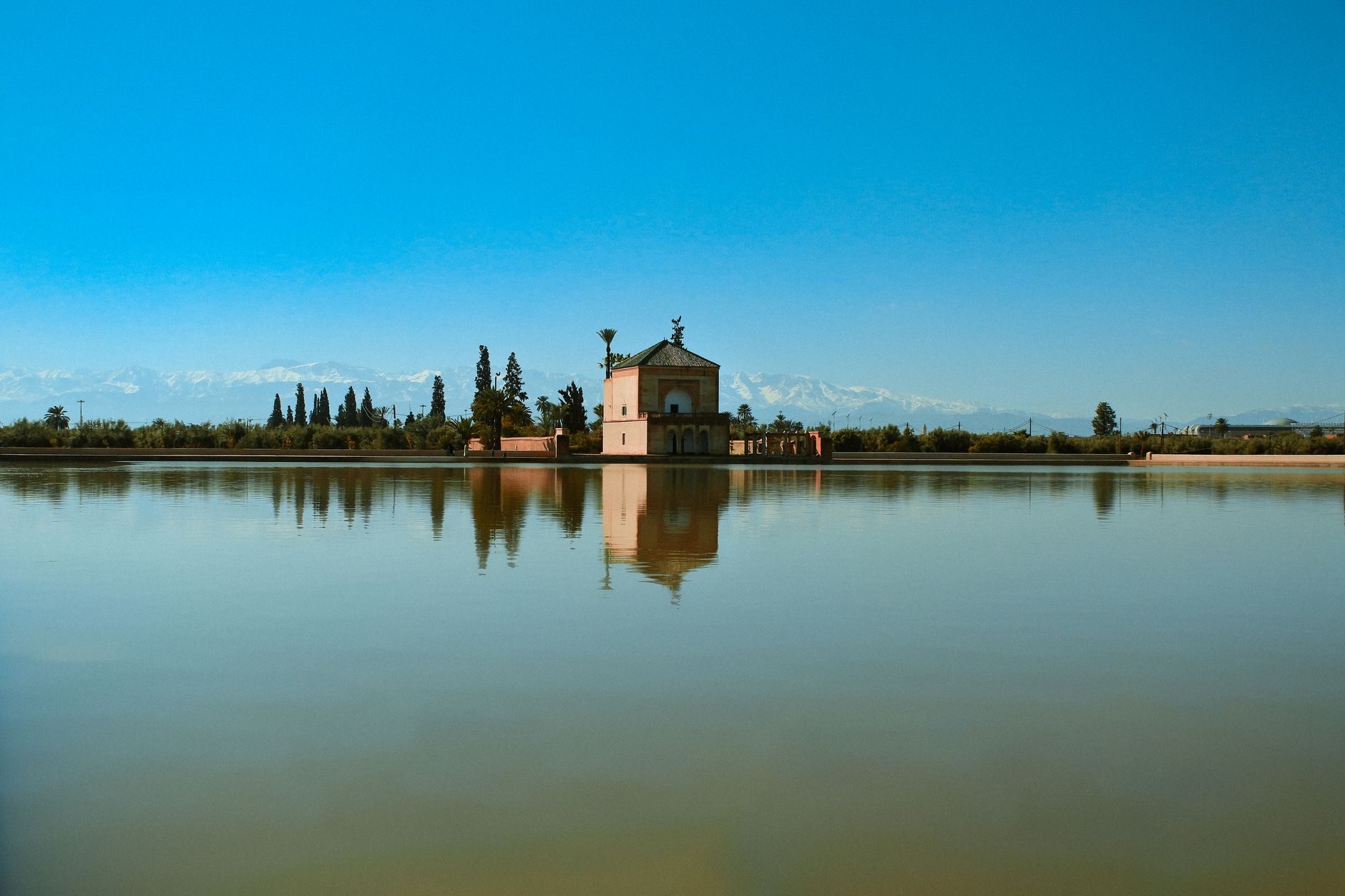
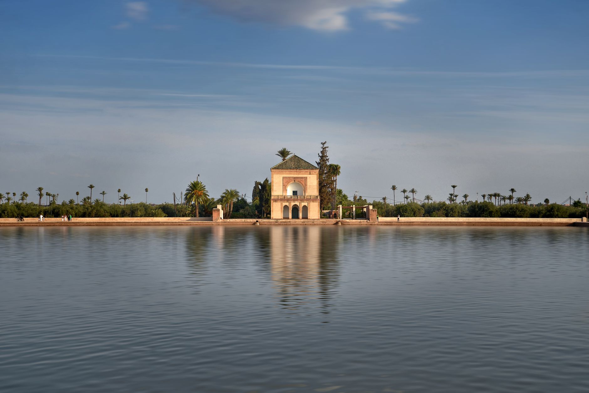
The pavilion stands at the edge of the basin on a square footprint — twelve metres by twelve — its green pyramidal roof the only vertical accent in a landscape that is otherwise flat water, flat light, flat sky. Built in 1870 by Sultan Muhammad IV on the ruins of an earlier Saadian structure, it reads as modest from the outside: a triple-arched portico held up by four stone pillars, two storeys, not much else. Step inside and the register changes — muqarna plasterwork, carved wood, mosaic tilework, the whole interior working quietly against the plain exterior.
The pavilion is the fixed point around which the rest of the gardens orient themselves. The olive grove, the great rectangular basin, the Atlas horizon — they all seem to have been arranged in relation to it.
💛 What travellers fall for
People who come back tend to time it carefully. Before nine in the morning, October through March, the Atlas peaks are snow-covered and the basin still enough to hold their reflection alongside the pavilion's green roof. That particular hour — cold air, horizontal light, almost no one else around — is the one most worth arranging your morning for.
How Menara Pavilion came to be
The gardens were laid out around 1157 under Abd al-Mu'min, the Almohad Caliphate's founding ruler, and the hydraulic system that feeds the central basin — drawing water from the Atlas Mountains fifty kilometres away through underground channels called khettaras — dates to the same period. The engineer credited with designing it, Hajj al-Ya'ish of Malaga, brought techniques from Al-Andalus to what was then a new imperial capital.
A Saadian pleasure pavilion occupied this spot from the sixteenth century. By the nineteenth it had fallen into ruin. Sultan Muhammad IV, who ruled from 1859 to 1873, built the current structure on those foundations, completing it in 1870. The gardens, together with the Agdal Gardens and the historic walled city, were inscribed as a UNESCO World Heritage Site in 1985.
Who and what shaped it
People who shaped it
Landmark buildings
Plan your visit
On the map
When to go
Spring and autumn are the easiest seasons — September through November brings temperatures between 18°C and 28°C and clear skies. Summer middays regularly exceed 38°C and the open ground around the basin offers almost no shade; arrive early or wait until late afternoon. Winter is cooler and occasionally wet, but the snow-capped Atlas peaks visible from the pavilion make it the most visually dramatic time of year.
Right now
Background & history adapted from Wikipedia (CC BY-SA) · specs from Wikidata (CC0) · weather from Open-Meteo · map data © OpenStreetMap contributors · photos from Wikimedia Commons / Unsplash with per-image credit. No third-party reviews or social posts reproduced.